Antique Maps by SANTINI, Francesco & Paolo.
Showing 1–5 of 5 products
Sort by:
Add to Wishlist
Add to Wishlist
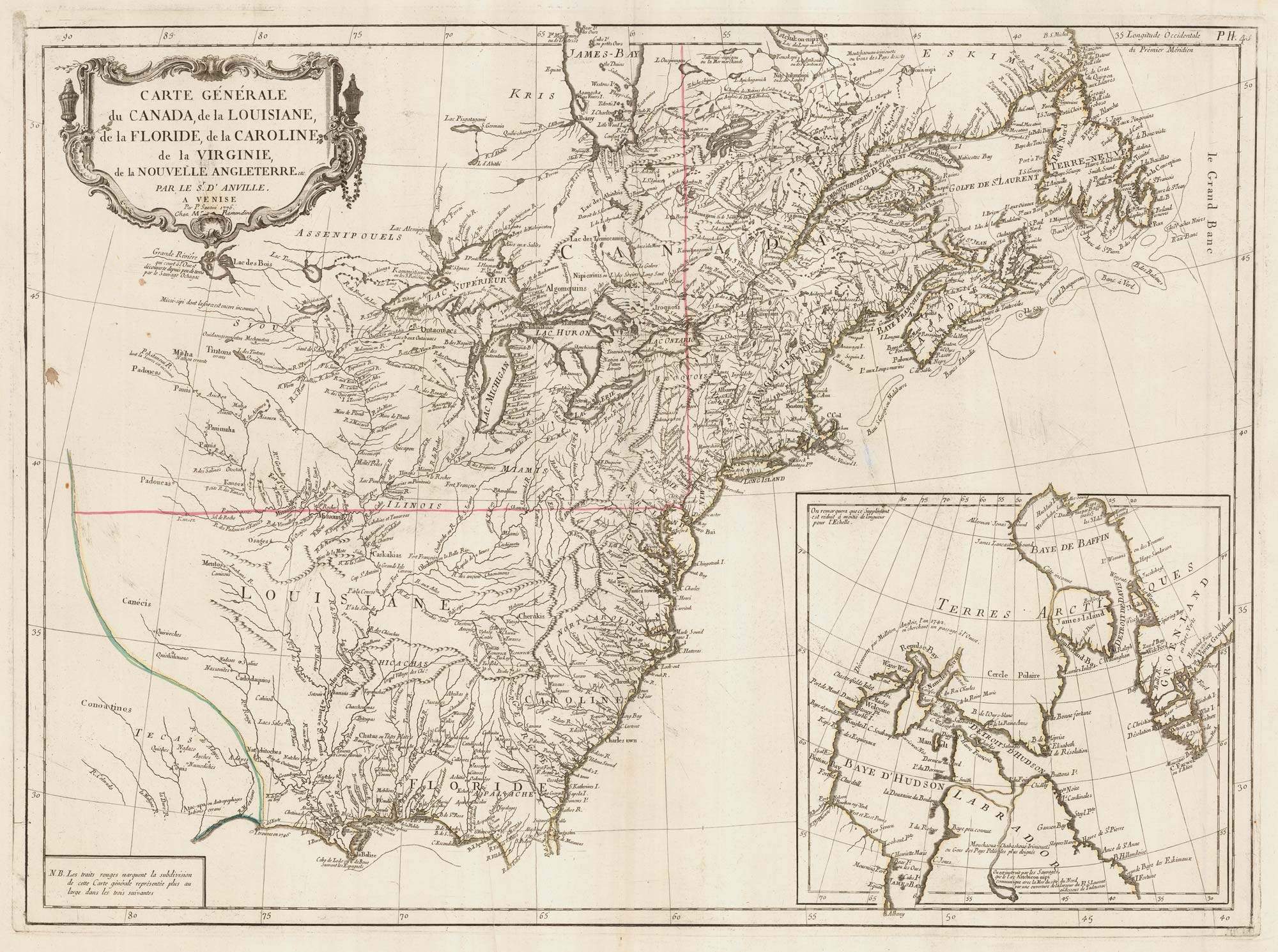
The Eastern Seaboard of North America
SANTINI, Francesco & Paolo. Date: 1776 Stock #: 22824 £600.00
Add to Wishlist
Add to Wishlist
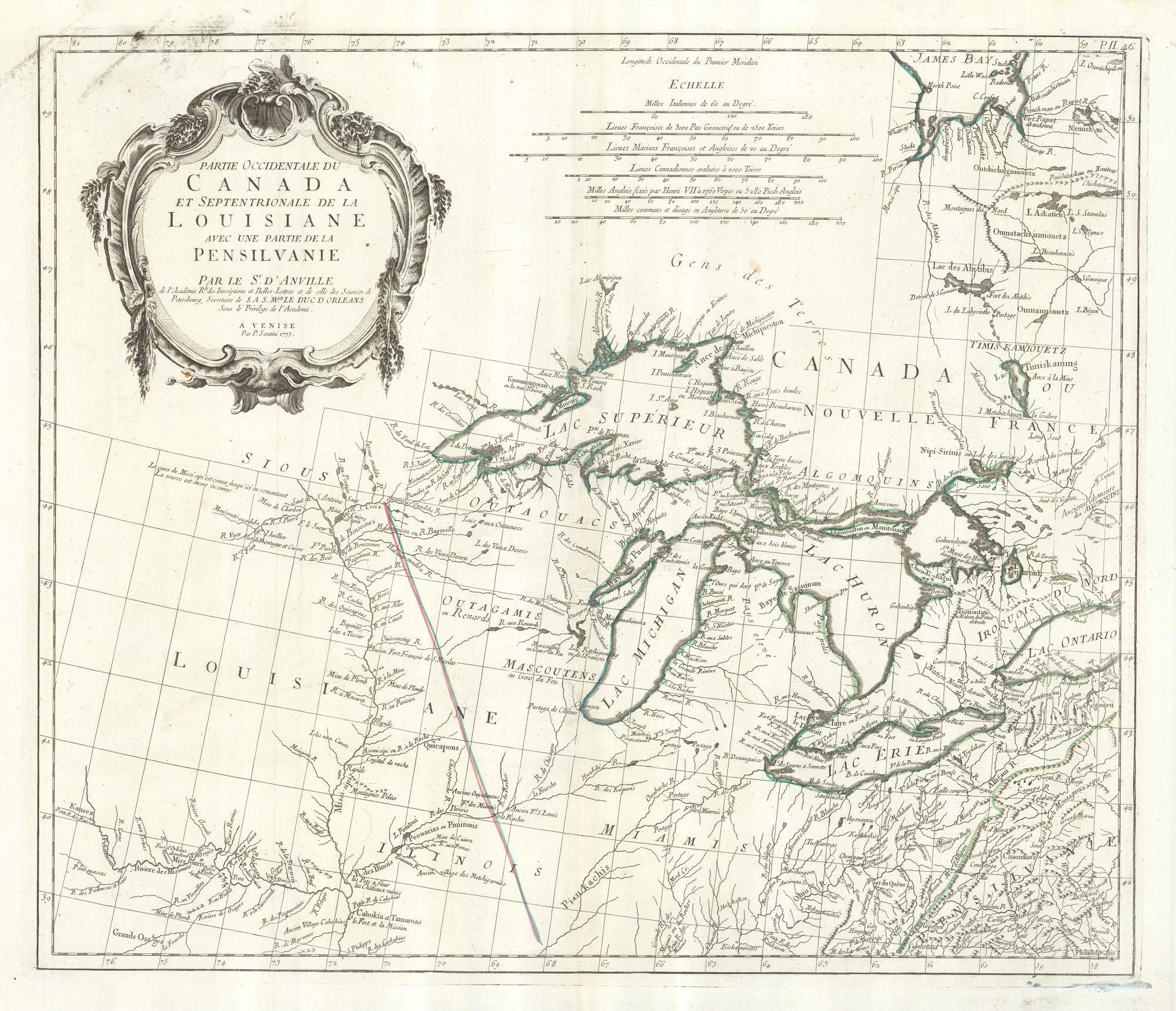
An 18th century map of the Great Lakes
SANTINI, Francesco & Paolo. Date: 1776 Stock #: 22627 £600.00
Add to Wishlist
Add to Wishlist
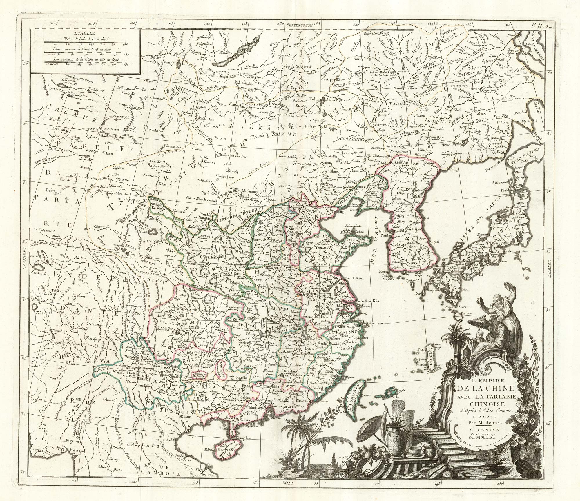
China & Tartary after Bonne
SANTINI, Francesco & Paolo. Date: 1784 Stock #: 22630 £600.00
Add to Wishlist
Add to Wishlist
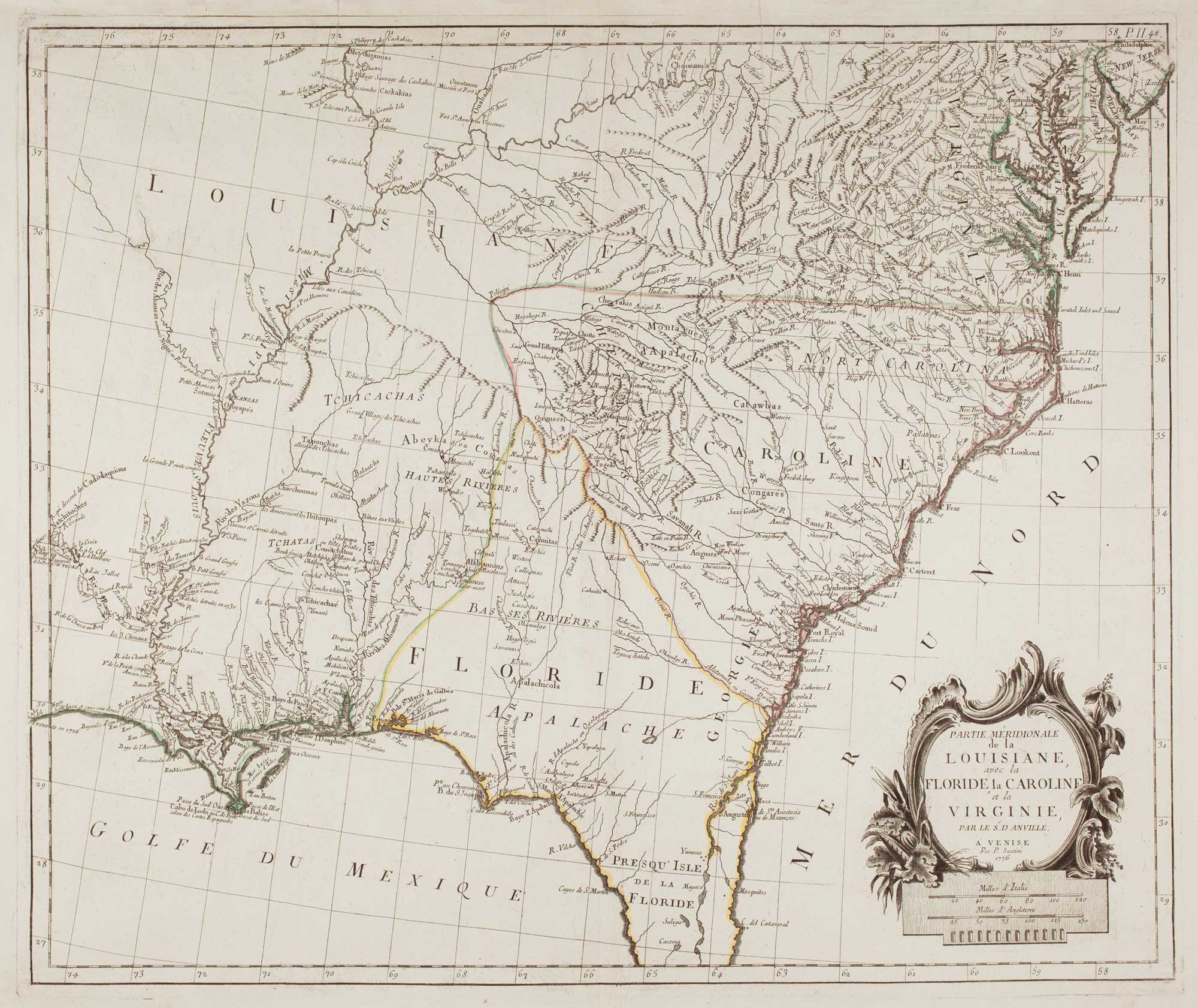
18th century map of the American South East
SANTINI, Francesco & Paolo. Date: 1776 Stock #: 9346 £500.00
Add to Wishlist
Add to Wishlist