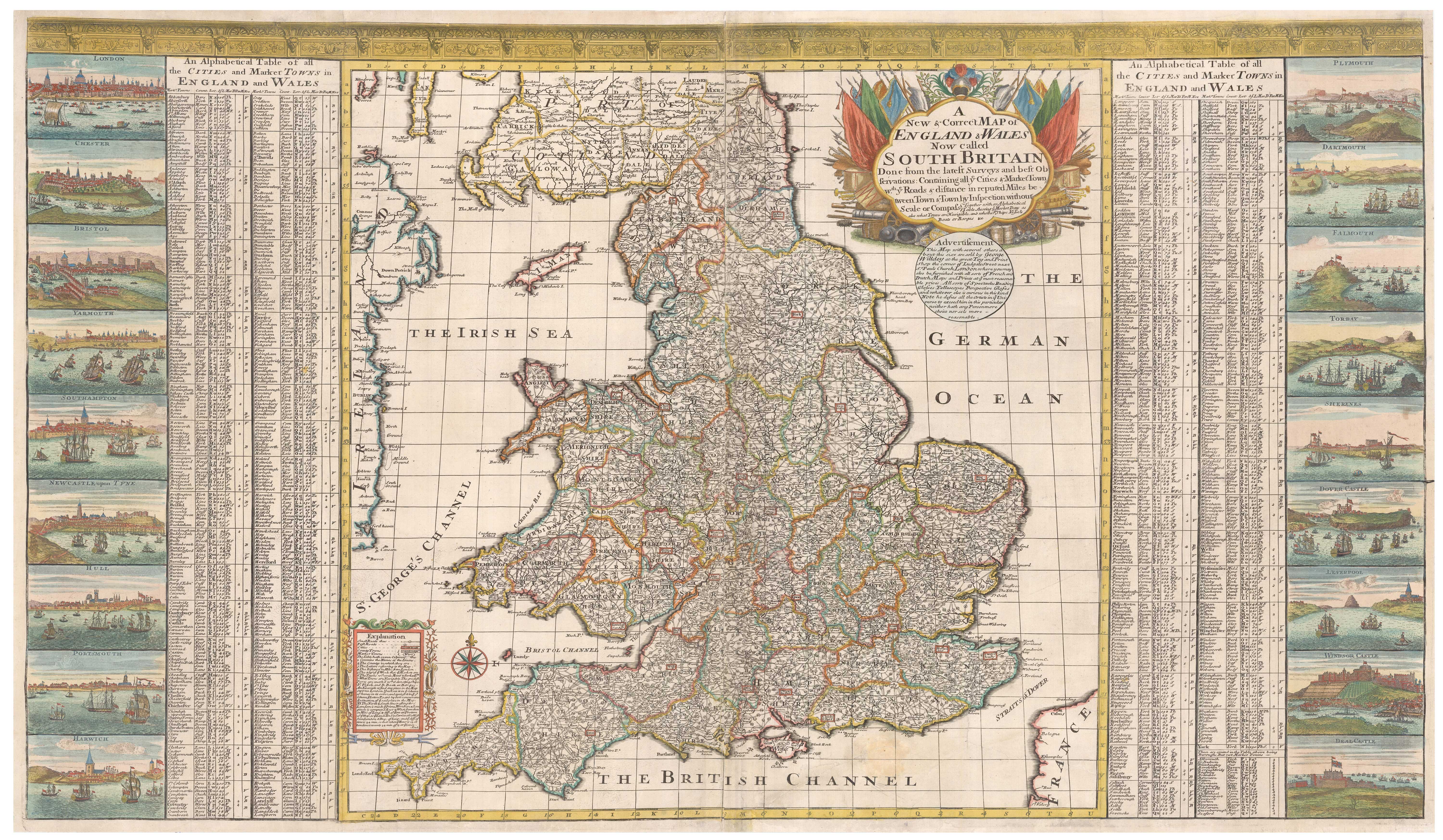


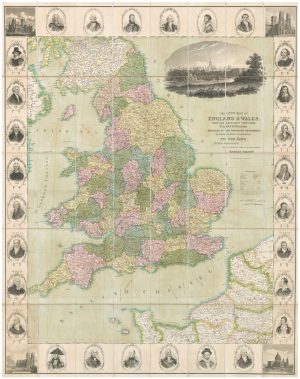
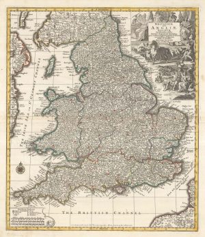
A scarce two-sheet map of England and Wales with side panels
A New & Correct Map of England & Wales Now Called South Britain. Done from the latest Surveys and best Observations: Containing all ye Cities & Market Towns w.th ye Roads & distance in reputed Miles between Town & Town, by Inspection without Scale or Compaa. Together with an Alphabetical Table shewing ye Market Days ads also what towns are Navigable and whether for ships, Vessels boats or barges &c.
London, c.1715. Coloured. Two sheets conjoined, total 630 x 1015mm.
£3,000.00
1 in stock
x
Question About This Item?
A scarce two-sheet map of England and Wales with side panels & WILLDEY, George.Stock #: 24165
Add to Wishlist
Export as PDFEnquireSimilar to Sell?Add to Wishlist
Description
A large and striking map of England and Wales, with an architectural frieze along the top and panels down the sides containing 18 town views (including London, Bristol, Liverpool and other major ports, plus Windsor Castle) and an extensive gazetteer. The lengthy title is within a title cartouche of military trophies, with Willdey's name hidden away in his advertisment for his 'great Toy and Print Shop the corner of Ludgate Street'. On the map the roads are depicted diagramatically, as straight lines with roundels containing the distances between each town.
Shirley suggests the map was engraved in 1715, the year of his two-sheet map of the British Isles; the two maps were included in his atlas of 1717. This dates the map to only eight years after the Act of Union, with the short-lived attempt to rename England and Wales 'South Britain' and Scotland 'North Britain' to encourage unity. The first Hanovarian king, George I, has come to the throne only the year before.
Condition:
A few small repairs, laid on archival canvas.References:
SHIRLEY: British Isles 1650-1750, Willdey 3, 'scarce'.Related products
-
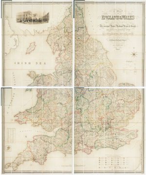
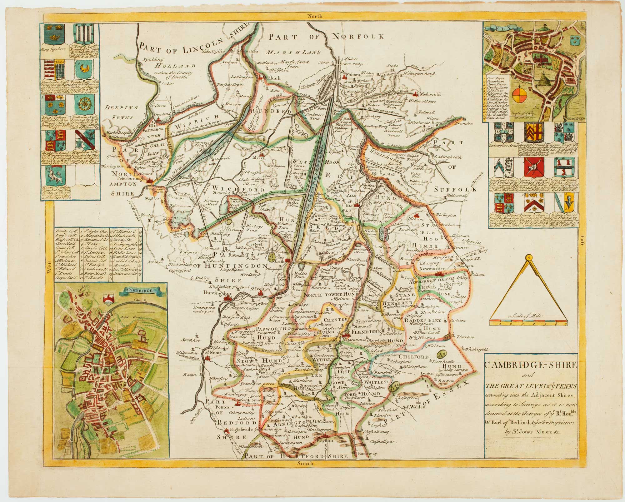
Four-sheet folding map of England & Wales
CREIGHTON, R. Date: 1839Stock #: 10621 £800.00 -
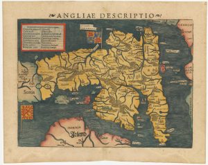
An early woodcut map of England
MUNSTER, Sebastian. Date: 1572Stock #: 24564 £1,000.00 -
A decorative wall map of England & Wales
SEATON, Robert. Date: 1835Stock #: 10838 £1,500.00 -
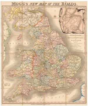
A colourful Georgian map of the roads of England & Wales
MOGG, Edward Slatford. Date: 1838Stock #: 22986 £250.00 -
An unrecorded state of Saxton’s map of South East England
SAXTON, Christopher. Date: 1690Stock #: 22260 £3,000.00 -
A separate-issue road map of England
VISSCHER, Nicolas. Date: 1694Stock #: 10557 £480.00 -
North West England from the first English Edition of the ‘Atlas Minor’
HONDIUS, Jodocus. Date: 1635Stock #: 22445 £150.00 -

A decorative wall map of England & Wales with panelled borders
SEATON, Robert. Date: 1835Stock #: 25898 -
England divided into the Saxon Heptarchy
SEUTTER, Matthaus. Date: 1740Stock #: 22311 £380.00
Items by the same author
Add to Wishlist
Add to Wishlist