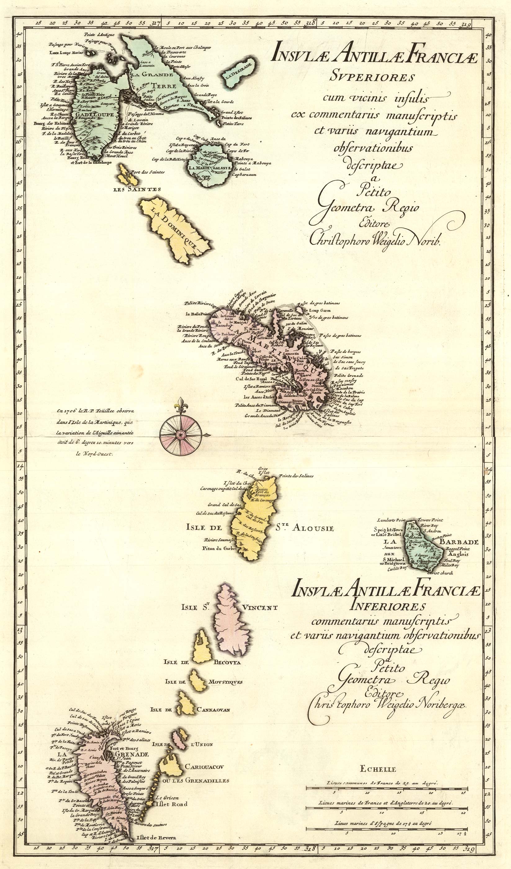


A two-sheet map of the Lesser Antilles
Insulae Antillae Franciae Superiores commentariis manuscriptis et variis navigantium observationibus descriptae a Petito Geometra Regio. Insulae Antillae Franciae Inferiores...
Nuremberg, 1718. Two sheets conjoined, total 645 x 370mm. Original colour
£500.00
Description
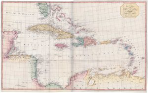
An 19th century map of the Lesser Antilles, showing from Guadeloupe south to Grenada, with Dominica, Martinique, St Lucia, Barbados, St Vincent and Mustique. Published in the 'Schul - und Reisen Atlas'.
Condition:
Minor repairs.Related products
-
19th century map of the West Indies
MARZOLLA, Benedetto. Date: 1850Stock #: 19380 £220.00 -
Classic 17th century map of the West Indies
BLAEU, Willem Janszoon. Date: 1662Stock #: 22717 £1,800.00 -
A large two-sheet map of the West Indies
EDWARDS, Bryan. Date: 1818Stock #: 18109 £1,100.00 -
The English possessions in the West Indies
SENEX, John. Date: 1721Stock #: 23423 £850.00 -
Early 18th century map of the Caribbean
OTTENS, Joachim. Date: 1710Stock #: 17440 £1,200.00 -
A decorative 18th century map of the West Indies
HOMANN HEIRS. Date: 1740Stock #: 20882 £750.00 -
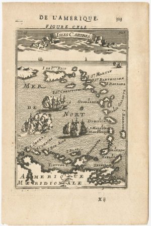
17th century miniature map of the Antilles
MALLET, Alain Manesson. Date: 1683Stock #: 24840 £180.00 -
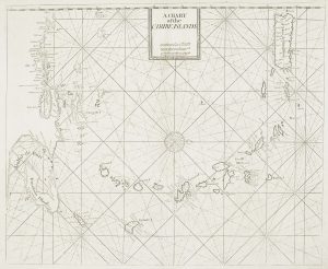
A British chart of the Lesser Antilles
MOUNT & PAGE. Date: 1748Stock #: 15696 £700.00 -
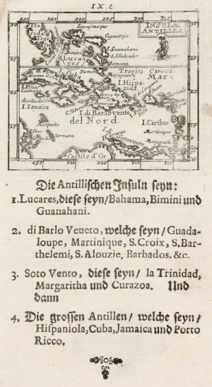
Uncommon miniature map of the West Indies
MULLER, Johann Ulrich. Date: 1692Stock #: 8928 £175.00
Items by the same author
Add to Wishlist
Add to Wishlist
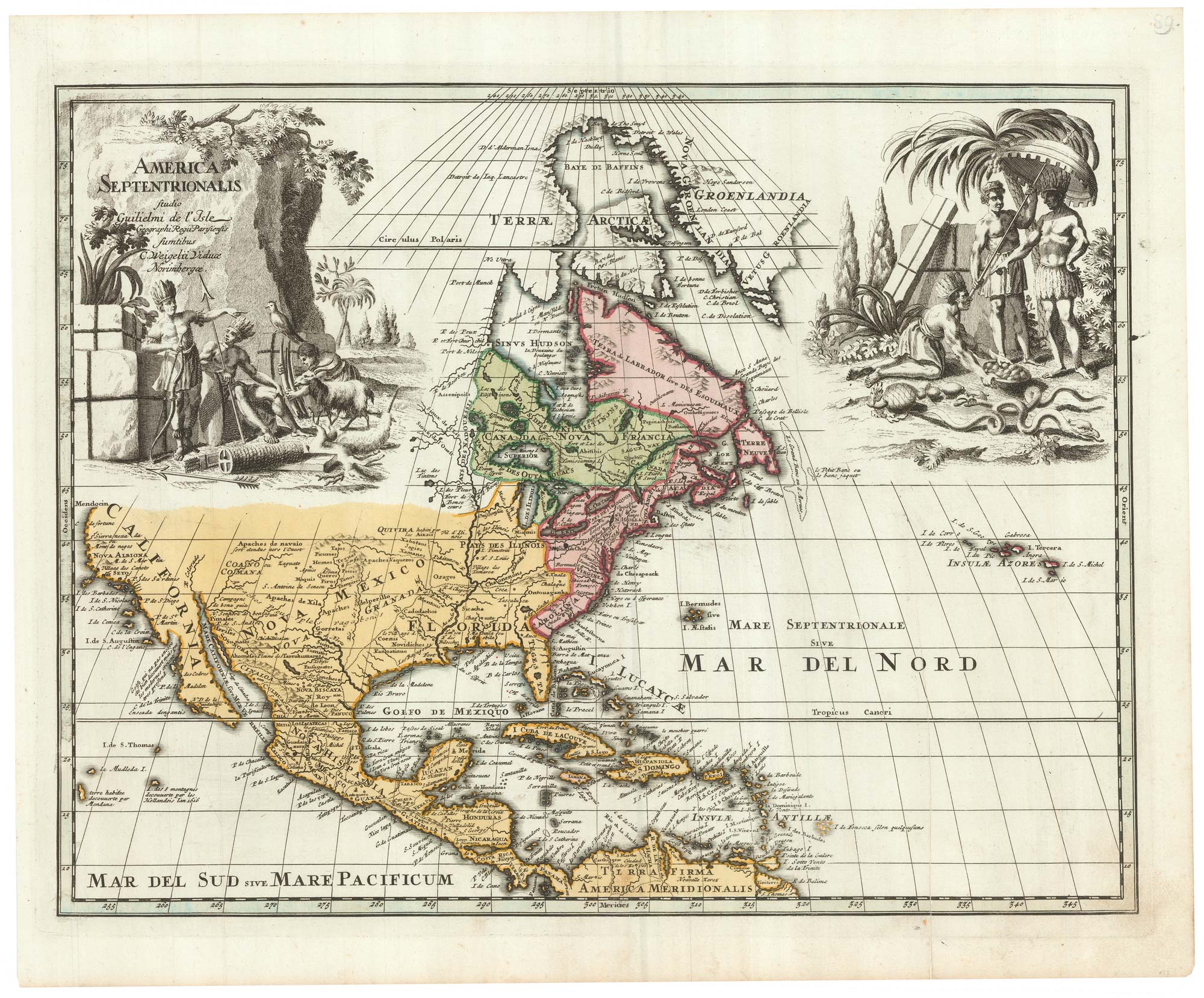
An 18th century map of North America
WEIGEL, Christoph. Date: 1747 Stock #: 24541 £1,200.00
Add to Wishlist
Add to Wishlist
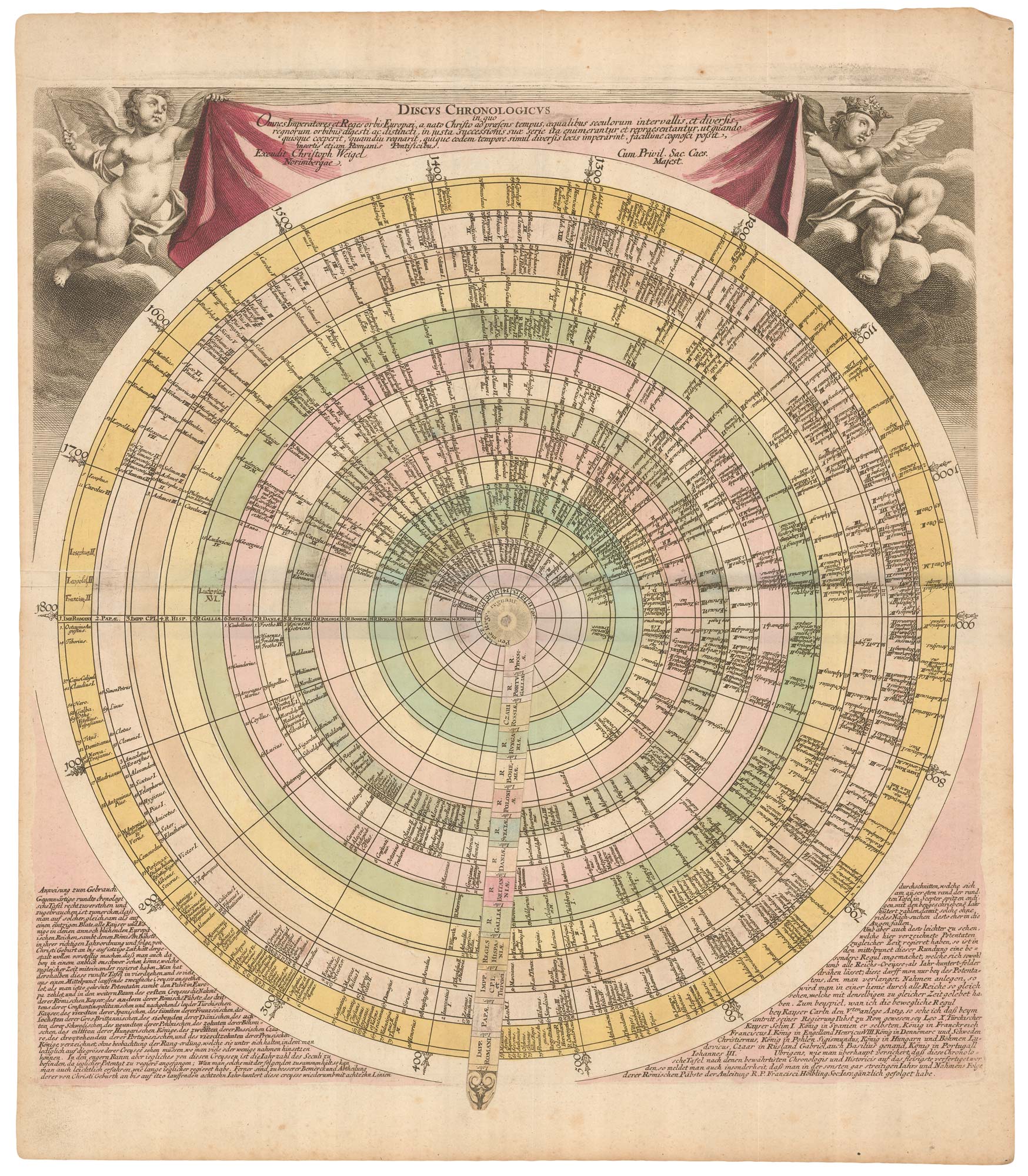
An early 18th century circular list of monarchs and popes, with a moving arm
WEIGEL, Christoph. Date: 1720 Stock #: 22160 £650.00
Add to Wishlist
Add to Wishlist
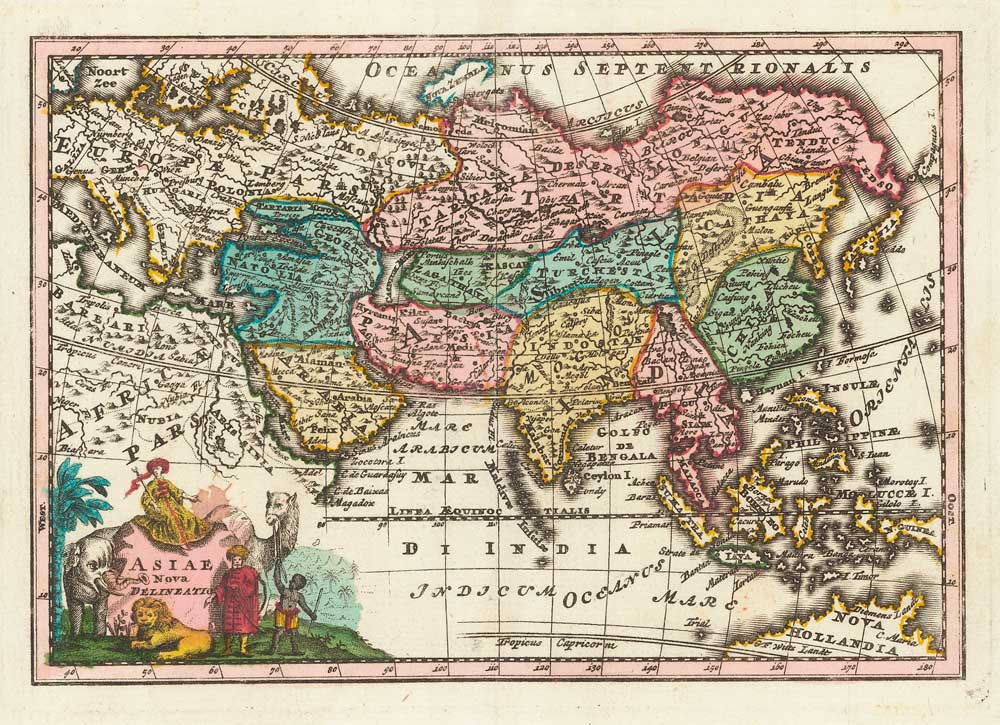
Miniature map of Asia with fine colour
WEIGEL, Christoph. Date: 1738 Stock #: 17781 £195.00
Add to Wishlist
Add to Wishlist