


An early 19th century German atlas
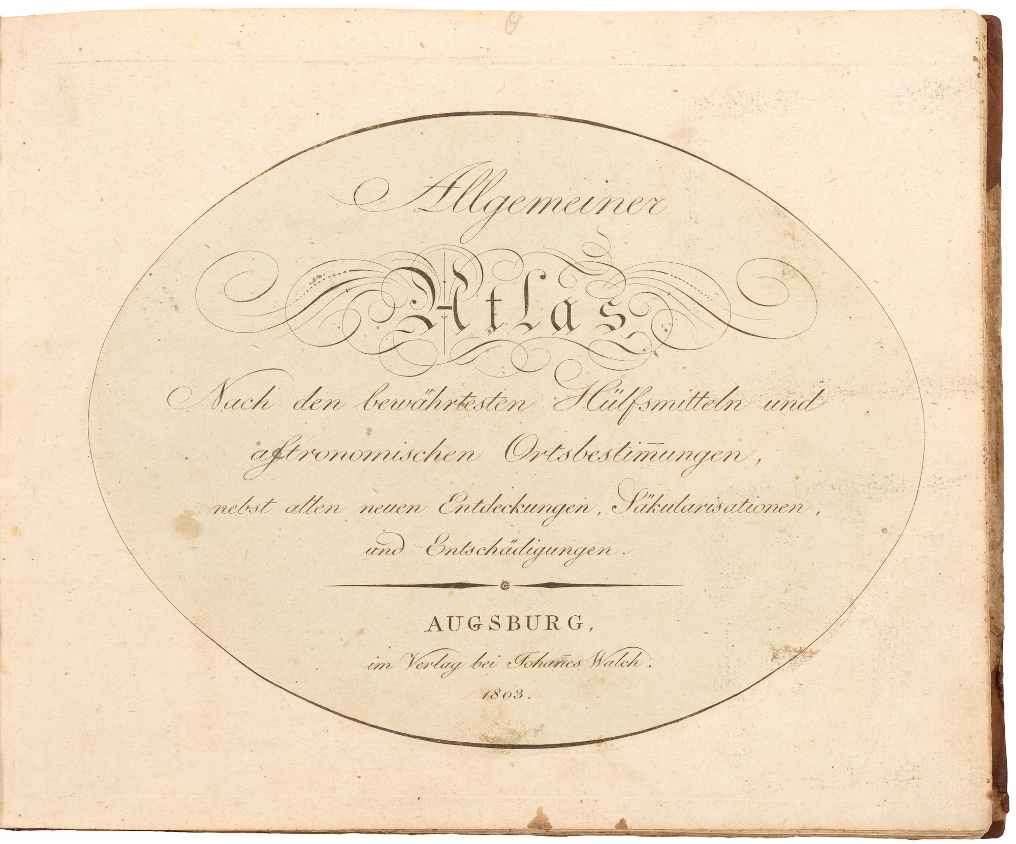
Allgemeiner Atlas Nach den bewährtesten Hülfsmitteln und astronomischen Ortsbestimungen, nebst Entdeckungen, Säkularisationen, und Entschädigungen.
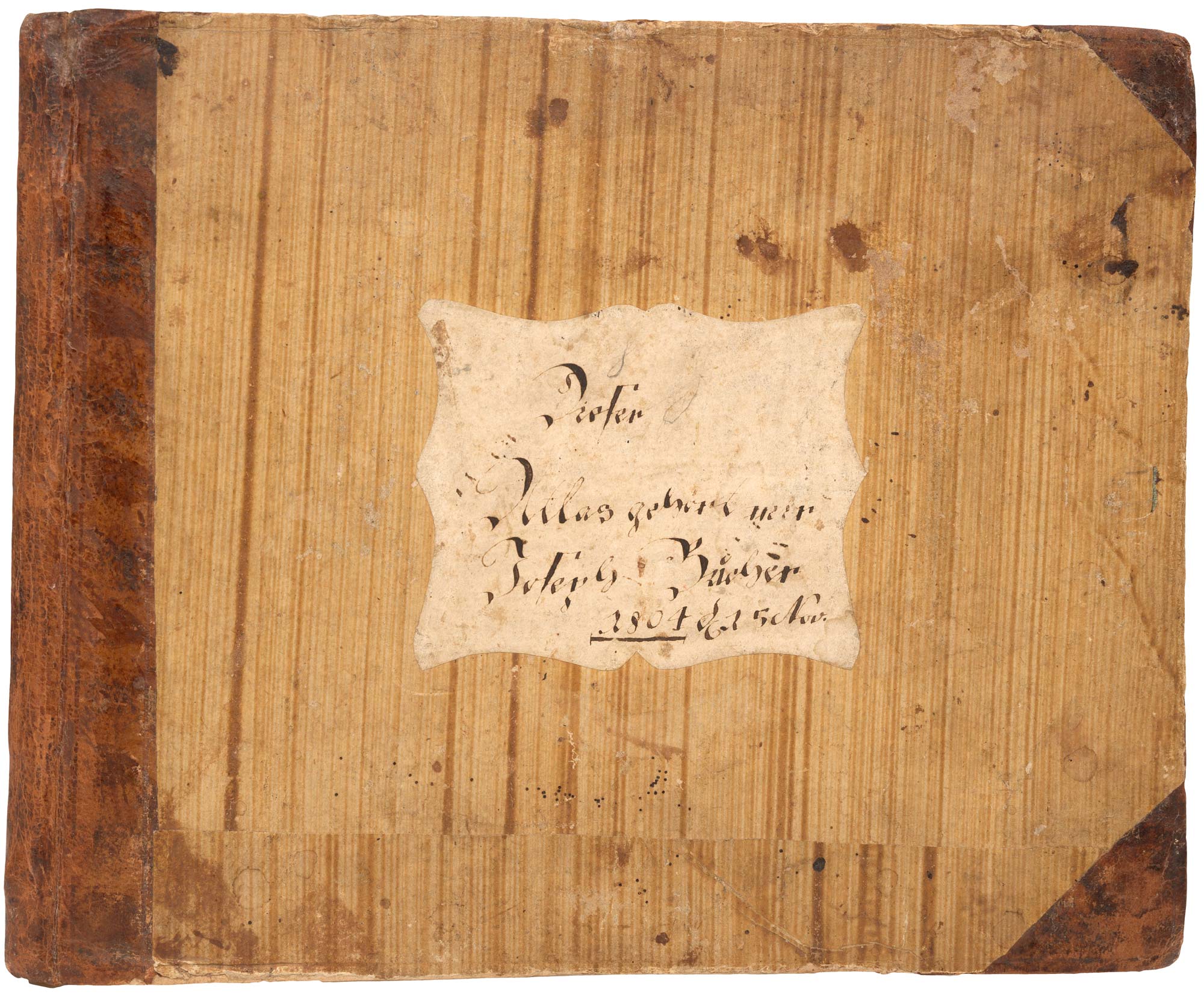
Augsburg: Johannes Walch, 1803. Oblong 4to, original half calf, ink mss. label on front board; ink mss. index of maps on preliminary leaf; engraved title and 37 maps, all with orginal hand colour.
£1,500.00
Description
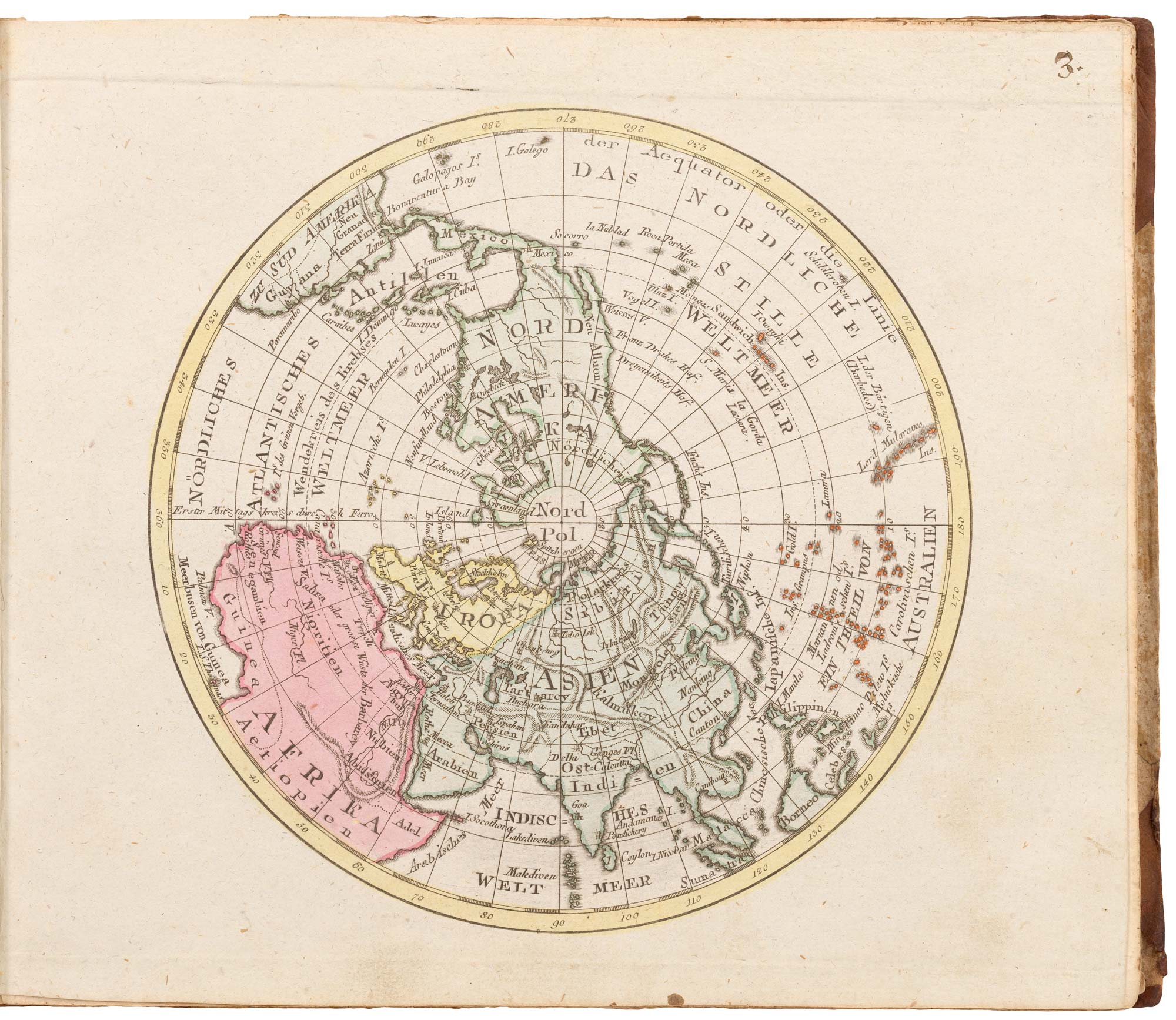
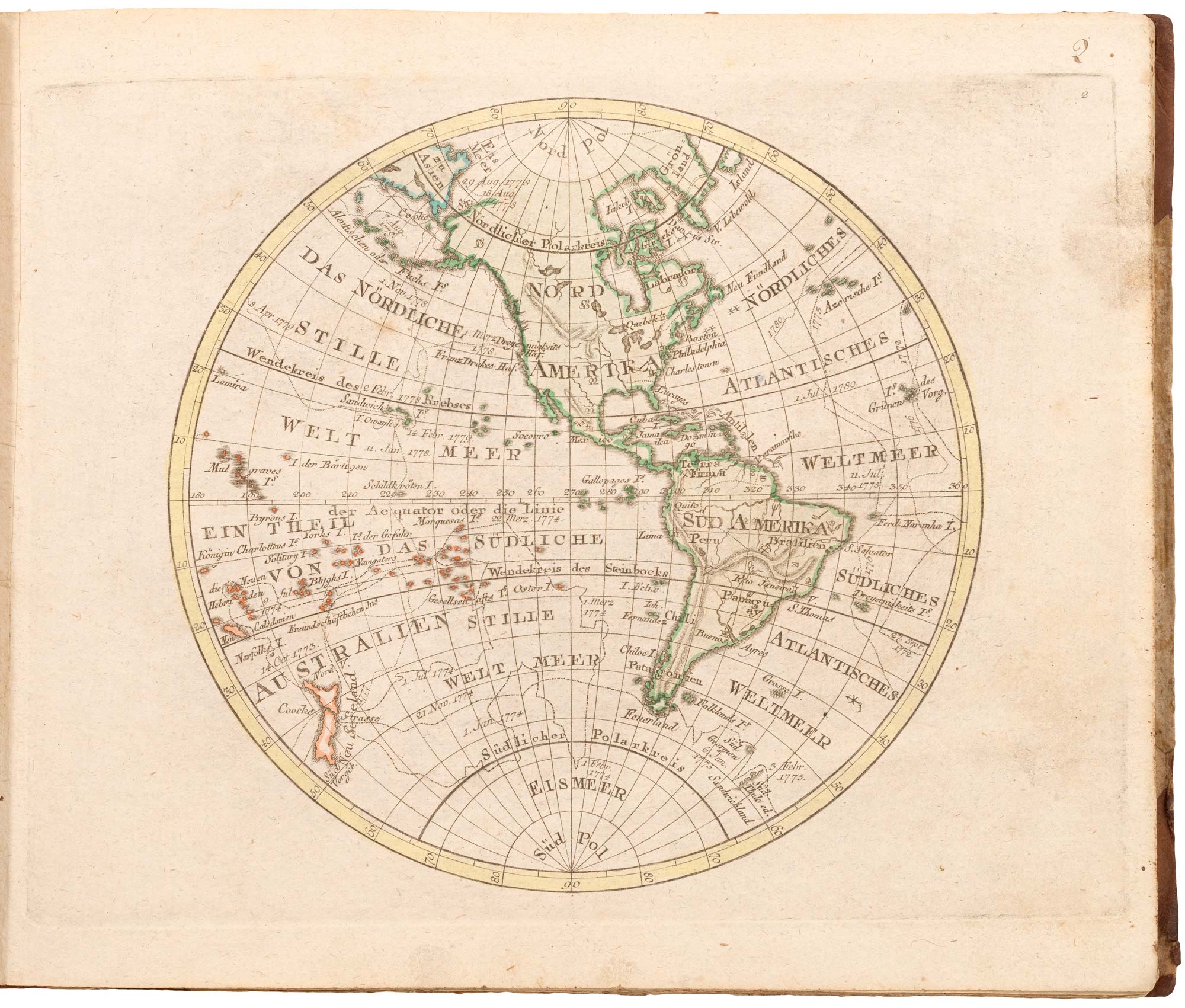
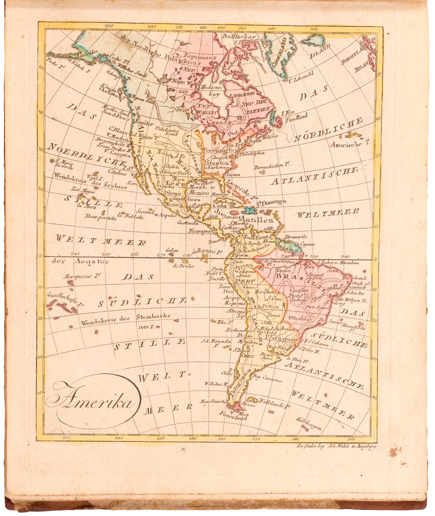
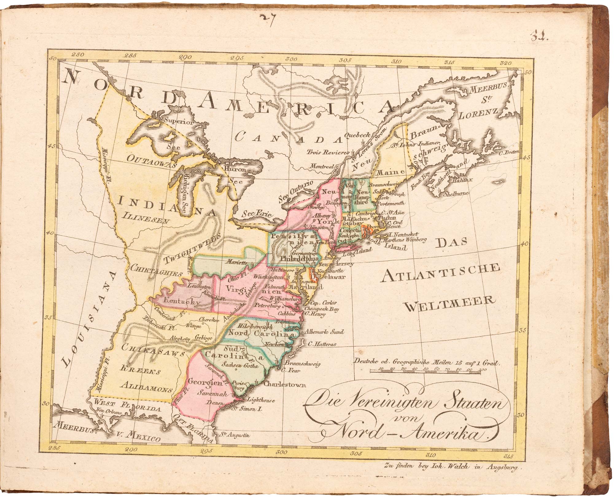
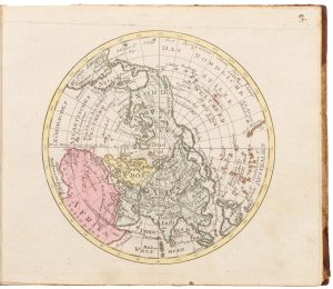
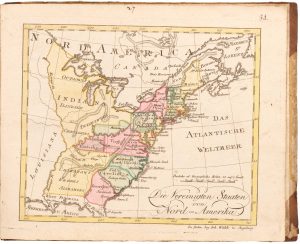
A German school atlas, including: East & West hemispheres, North & South Hemispheres, four continents & Australasia, East Indies, a two-sheet map of Russia, Turkish Empire, The United States of America & The West Indies.
There are five more maps than the manuscript index, all without ink number: Bohemia, Netherlands and three of German states.
Condition:
Binding rubbed; old ink numerals on most maps, minor staining.Related products
-
The rare first issue of an important American atlas in fine original colour
TANNER, Henry Schenck. Date: 1836Stock #: 22905 £11,000.00 -
A magnificent example of the first folio sea atlas of the World
JANSSON, Jan. Date: 1650Stock #: 23074 £47,500.00 -
Magini’s edition of Ptolemy’s Geography
MAGINI, Giovanni Antonio. Date: 1598Stock #: 24449 £6,000.00 -

An 18th century pocket atlas of England, Wales & Scotland
OSBORNE, Thomas. Date: 1756Stock #: 25500 £980.00 -
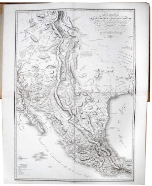
The atlas volume from Humboldt’s important description of New Spain
HUMBOLDT, Alexander von. Date: 1812Stock #: 23007 £32,500.00 -

The first Western atlas of China
BLAEU, Johannes. Date: 1655Stock #: 20044 £29,000.00 -

A fine example of the First Edition of Camden’s ‘Britannia’ with maps
CAMDEN, William. Date: 1607Stock #: 19663 £6,500.00 -
The first Hondius issue of Mercator’s edition of Ptolemy’s Geography
PTOLEMY, Claudius. Date: 1605Stock #: 22505 £18,000.00 -
A very fine early 19th century miniature atlas
REMONDINI, Giuseppe Antonio. Date: 1801Stock #: 24527 £2,250.00
Items by the same author
Add to Wishlist
Add to Wishlist
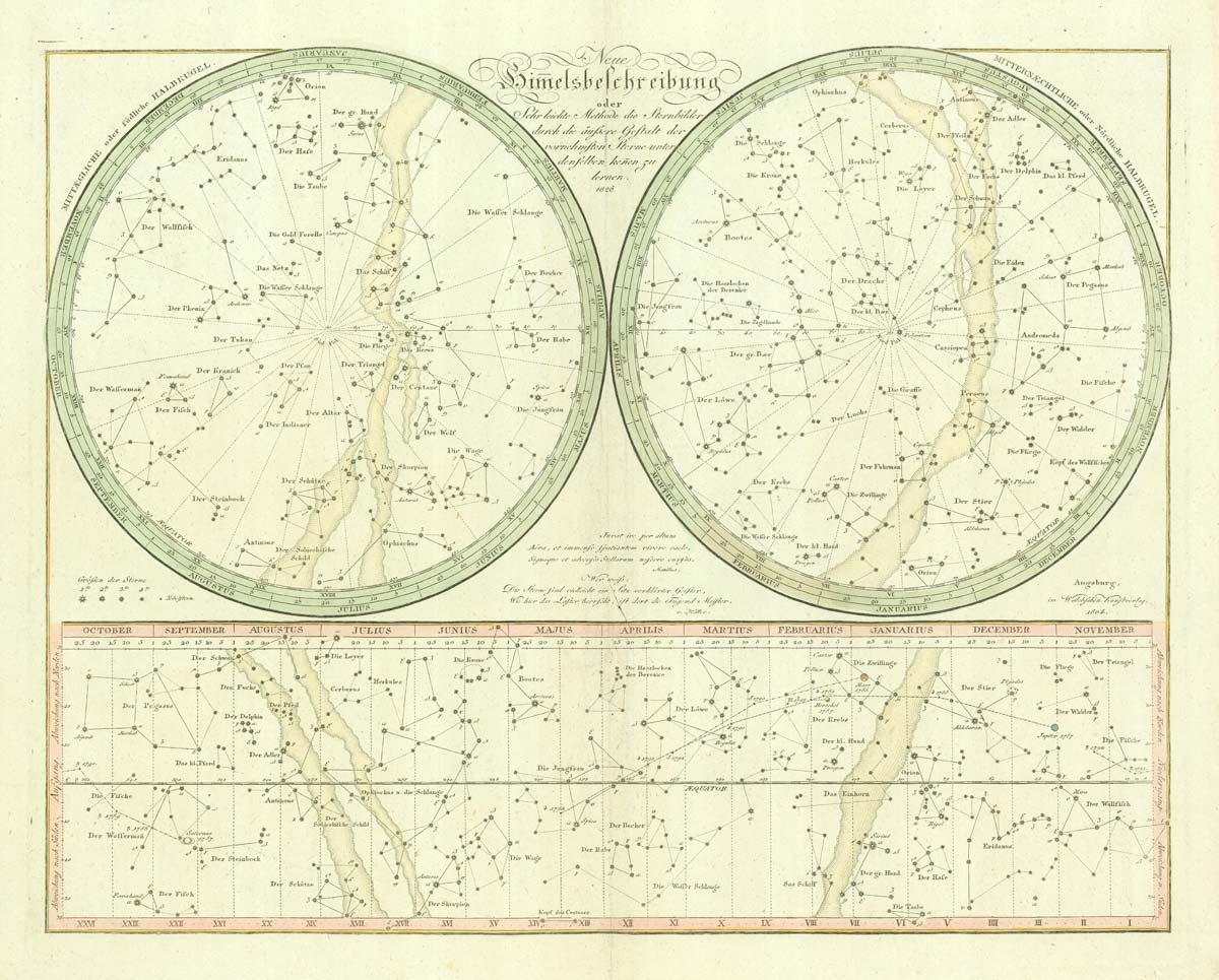
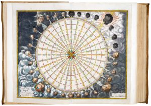
''The New Description of Heaven''
WALCH, Johann. Date: 1826 Stock #: 20595 £650.00
Add to Wishlist
Add to Wishlist
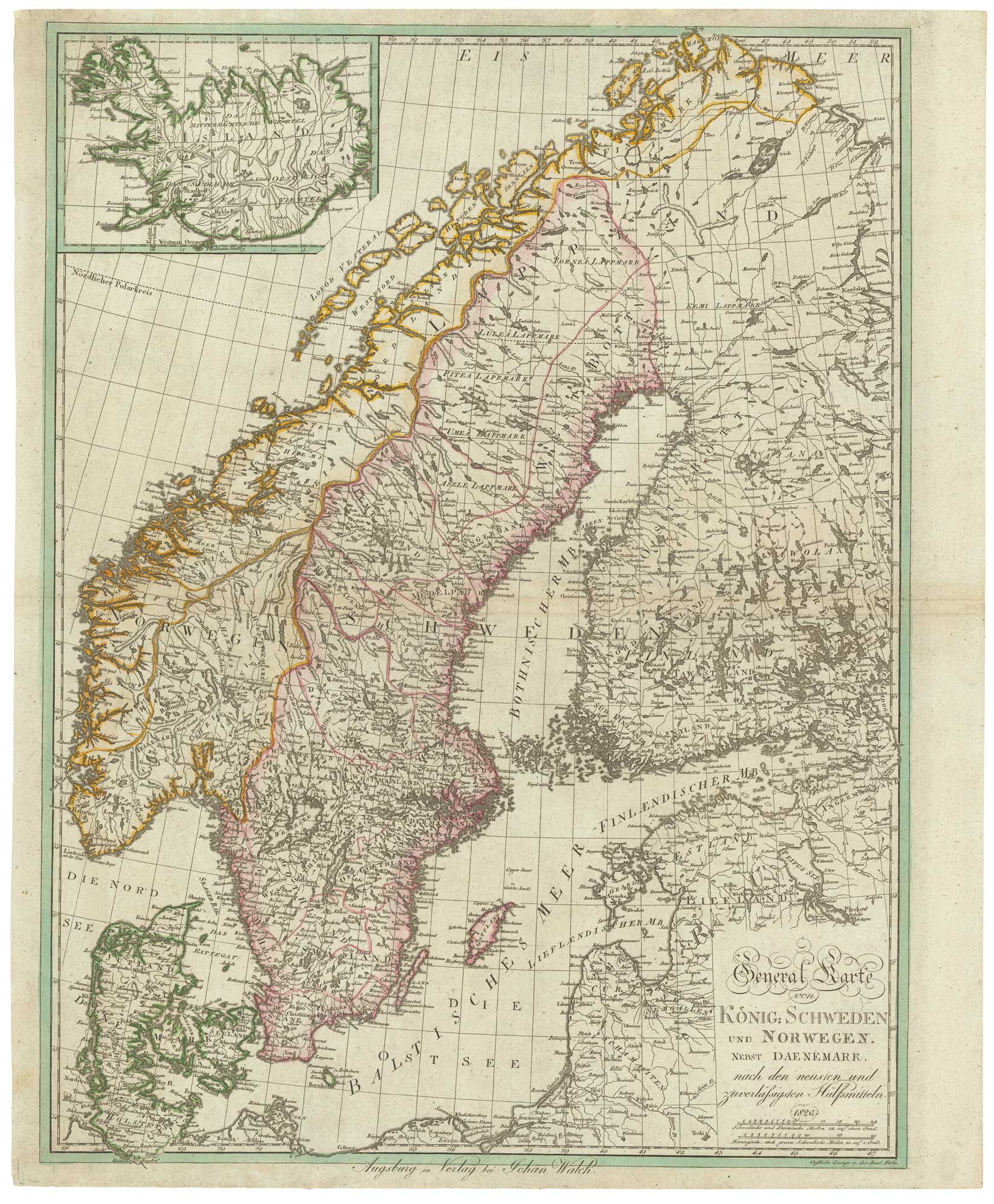
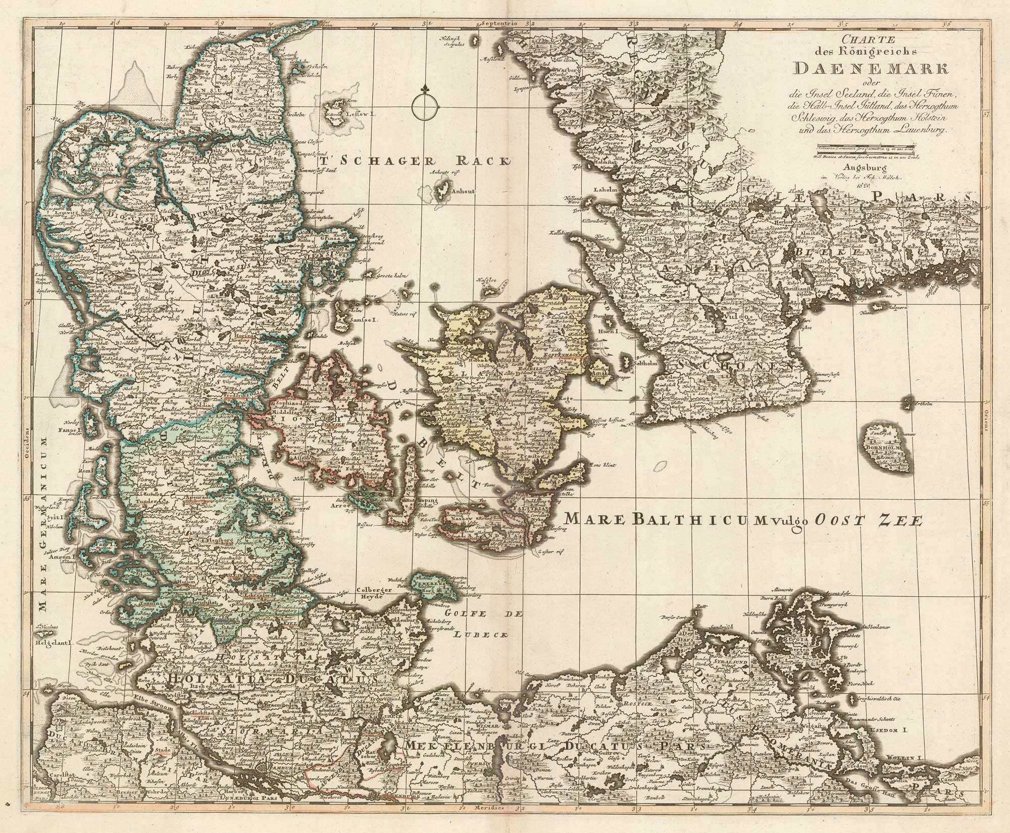
Detailed map of Scandinavia
WALCH, Johann. Date: 1820 Stock #: 21199 £500.00
Add to Wishlist
Add to Wishlist