

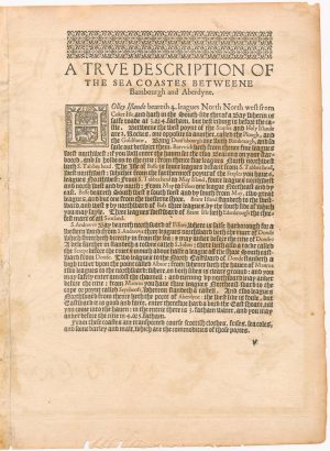
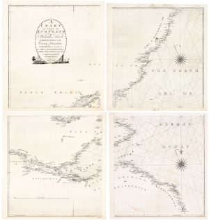
The Rare English Edition of Waghenaer’s chart of south-east Scotland
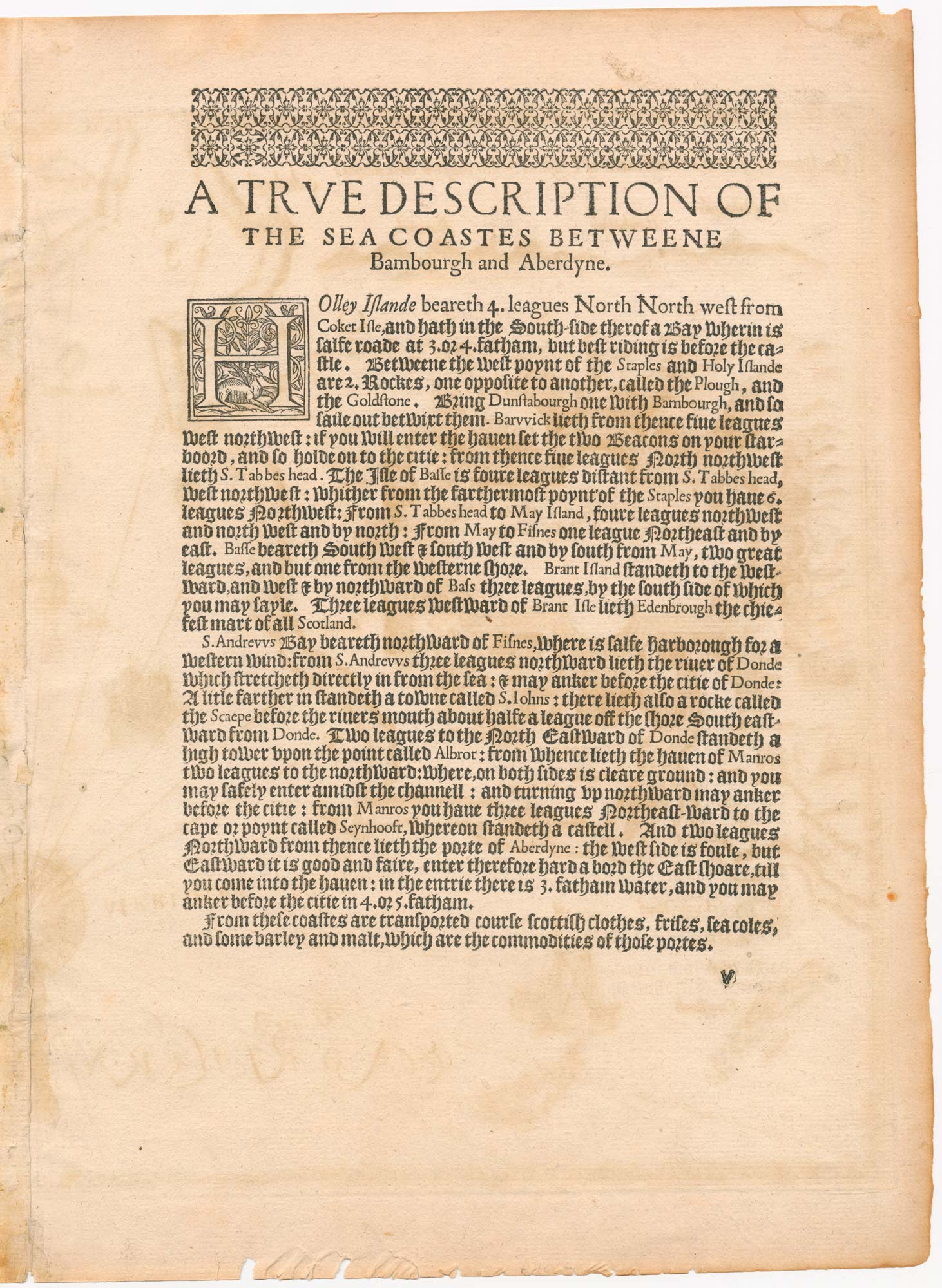
A Description of the coastes betweene Bamburgh & Aberdeine wherof Edenburgh is the chiefest marttowne.
London, 1588, English text edition. 325 x 420mm.
£3,500.00
1 in stock
x
Question About This Item?
The Rare English Edition of Waghenaer’s chart of south-east Scotland & WAGHENAER, Lucas Janzoon.Stock #: 24588
Add to Wishlist
Export as PDFEnquireSimilar to Sell?Add to Wishlist
Description
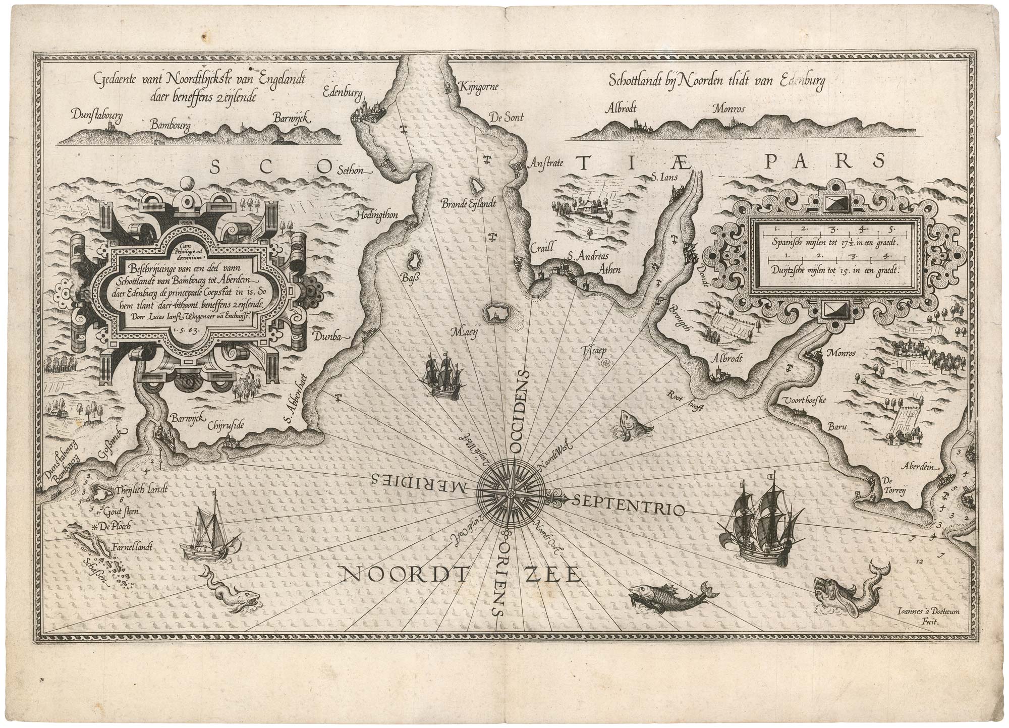
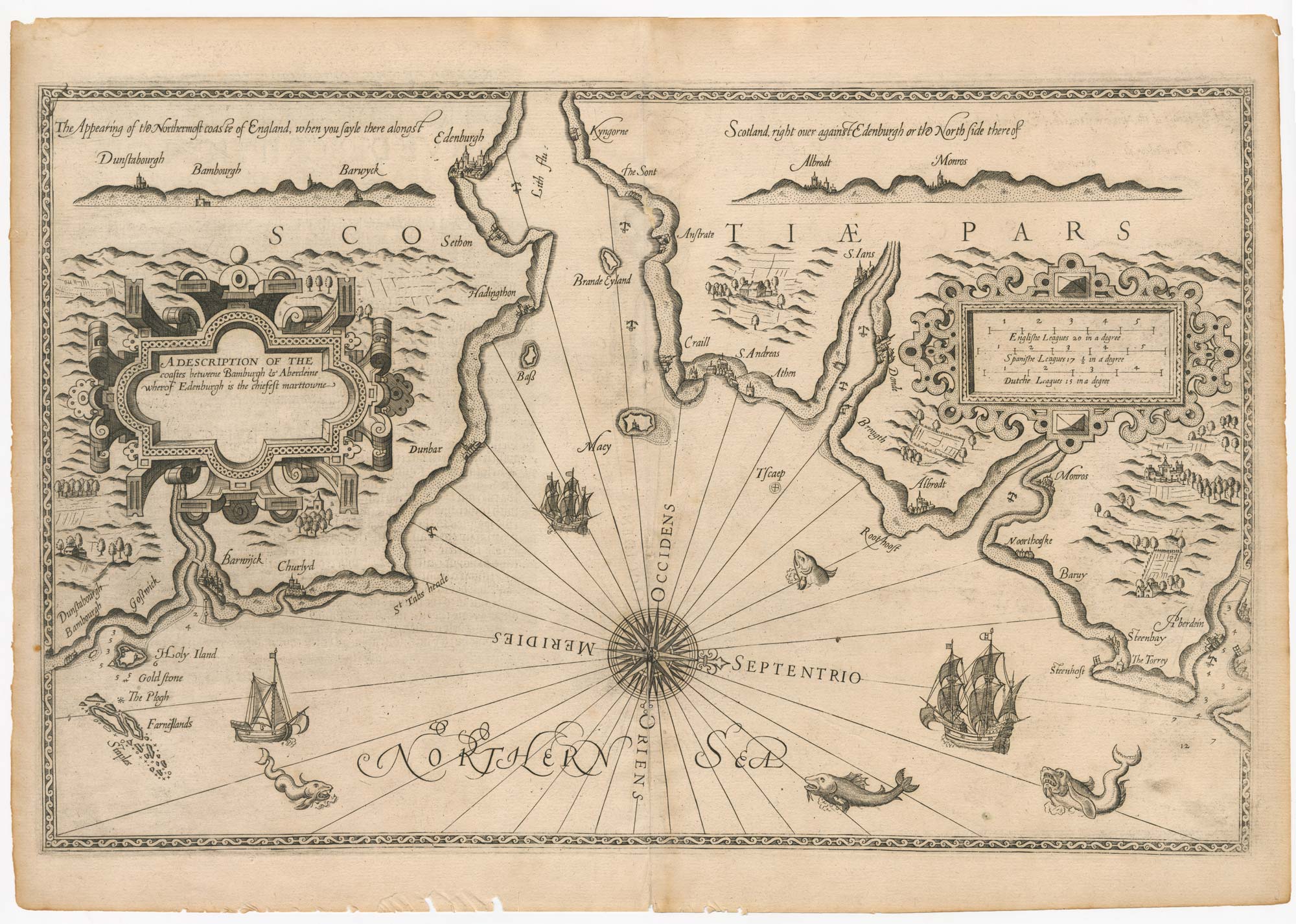
A 16th century sea chart of the east coasts of England and Scotland between Bamburgh to Aberdeen, orientated with north to the right, also showing Holy Island, Berwick-upon -Tweed, the Firth of Forth to Edinburgh, St Andrews and Montrose. A letterpress text on verso is titled 'A True Description of The Sea Coastes Betweene Bambough and Aberdyne'.
It was published in the first sea atlas printed in English, 'The Mariner's Mirror'. This was a close copy of Waghenaer's 'Spieghel der Zeevaerdt', translated by Anthony Ashley, on the commission of Sir Christopher Hatton, Elizabeth I's Lord Chancellor. He employed one of the best available engravers (either Theodore de Bry, Jodocus Hondius, Augustine Ryther or Johannes Rutlinger), to make a close copy of the original plate by Johannes van Doetichum, including the coastal profiles, cartouches and vignette sea-monsters and galleons.
For financial and security reasons (in the year of the Spanish Armada), the 'Mariners Mirror' had a limited print run, with circulation limited to the most trusted captains.
Condition:
A few chips in the margins.References:
SHIRLEY: Maps in the Atlases in the British Library M.Wag-2a.Related products
-
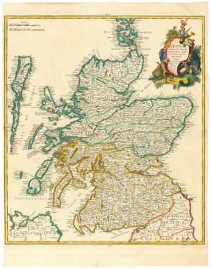
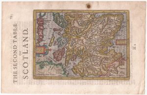
An 18th century map of Scotland
LE ROUGE, Georges-Louis. Date: 1746Stock #: 24901 £650.00 -
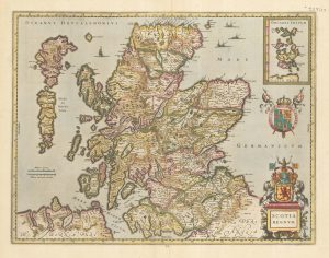
A Dutch map of Scotland in fine original colour
JANSSON, Jan. Date: 1638Stock #: 23840 £725.00 -
A scarce road map of Scotland
AINSLIE, John. Date: 1790Stock #: 18581 £725.00 -
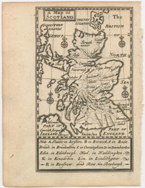
An 18th century miniature map of Scotland
Anonymous. Date: 1752Stock #: 22964 £275.00 -
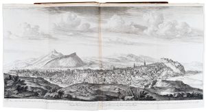
The earliest series of town prospects published in Britain
SLEZER, John. Date: 1747Stock #: 20013 £6,500.00 -
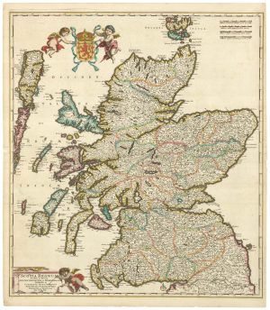
A 17th century old map of Scotland
DE WIT, Frederick. Date: 1680Stock #: 23591 £750.00 -
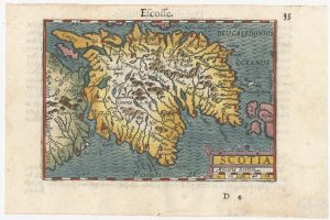
A minature map of Scotland
BERTIUS, Petrus. Date: 1609Stock #: 24847 £250.00 -
Southern Scotland from the first English Edition of the ‘Atlas Minor’
HONDIUS, Jodocus. Date: 1635Stock #: 22438 £120.00 -
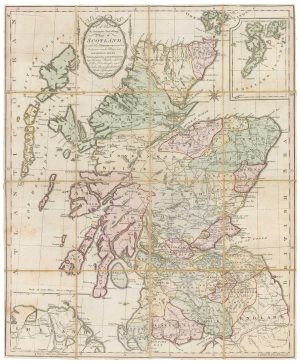
An extremely rare anti-smuggling chart of Scotland’s east coast
AINSLIE, John. Date: 1785Stock #: 24752 £2,500.00
Items by the same author
Add to Wishlist
Add to Wishlist