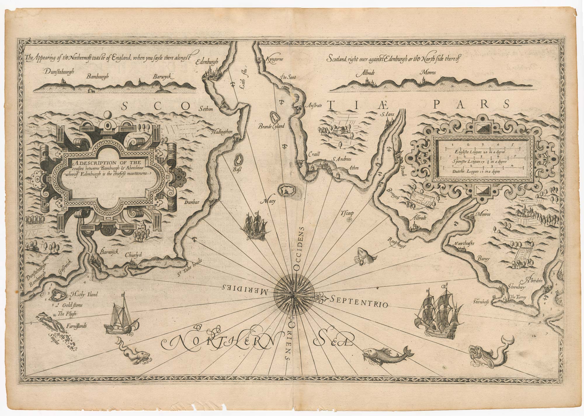


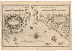
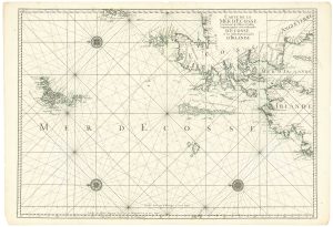
The First State of Waghenaer’s sea chart of south east Scotland
Beschrijvinge van een deel vann Schottlandt van Bambourg tot Aberdein daer Edenburg de Princepaele Copestat in es...
Leiden, 1585. 330 x 530mm.
£3,500.00
1 in stock
x
Question About This Item?
The First State of Waghenaer’s sea chart of south east Scotland & WAGHENAER, Lucas Janzoon.Stock #: 21772
Add to Wishlist
Export as PDFEnquireSimilar to Sell?Add to Wishlist
Description
A superb example of the first printed sea chart of the area, showing from Dunstanborough Head north to Aberdeen, including the mouth of the Firth of Forth and Edinburgh. It was engraved by the renowned engraver Johannes van Doetichum for the Second Part of Waghenaer's sea-atlas, the 'Spieghel der Zeevaerdt'. It has all the decorative details that make the series so attractive: strapwork cartouches for the title and scale, galleons and sea-monsters. This example is the rare first state, before the addition of a Latin title.
Koeman (IV, p.469) writes: 'Thanks to the unparalleled skill of the engravers, Baptist and Johannes van Doetichum, the original ms. Charts by Waghenaer were transformed into the most beautiful maps of the period.'
Condition:
A tiny pinhole on centre fold.References:
KOEMAN: IV, p.474.Related products
-
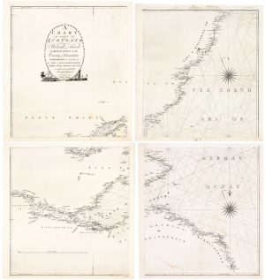
An extremely rare anti-smuggling chart of Scotland’s east coast
AINSLIE, John. Date: 1785Stock #: 24752 £2,500.00 -
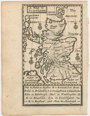
An 18th century miniature map of Scotland
Anonymous. Date: 1752Stock #: 22964 £275.00 -
A late 18th century wall map of Scotland
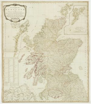
CAMPBELL, Robert. Date: 1794Stock #: 16013 £1,400.00 -
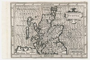
A minature map of Scotland
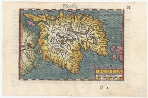
BERTIUS, Petrus. Date: 1609Stock #: 24847 £250.00 -
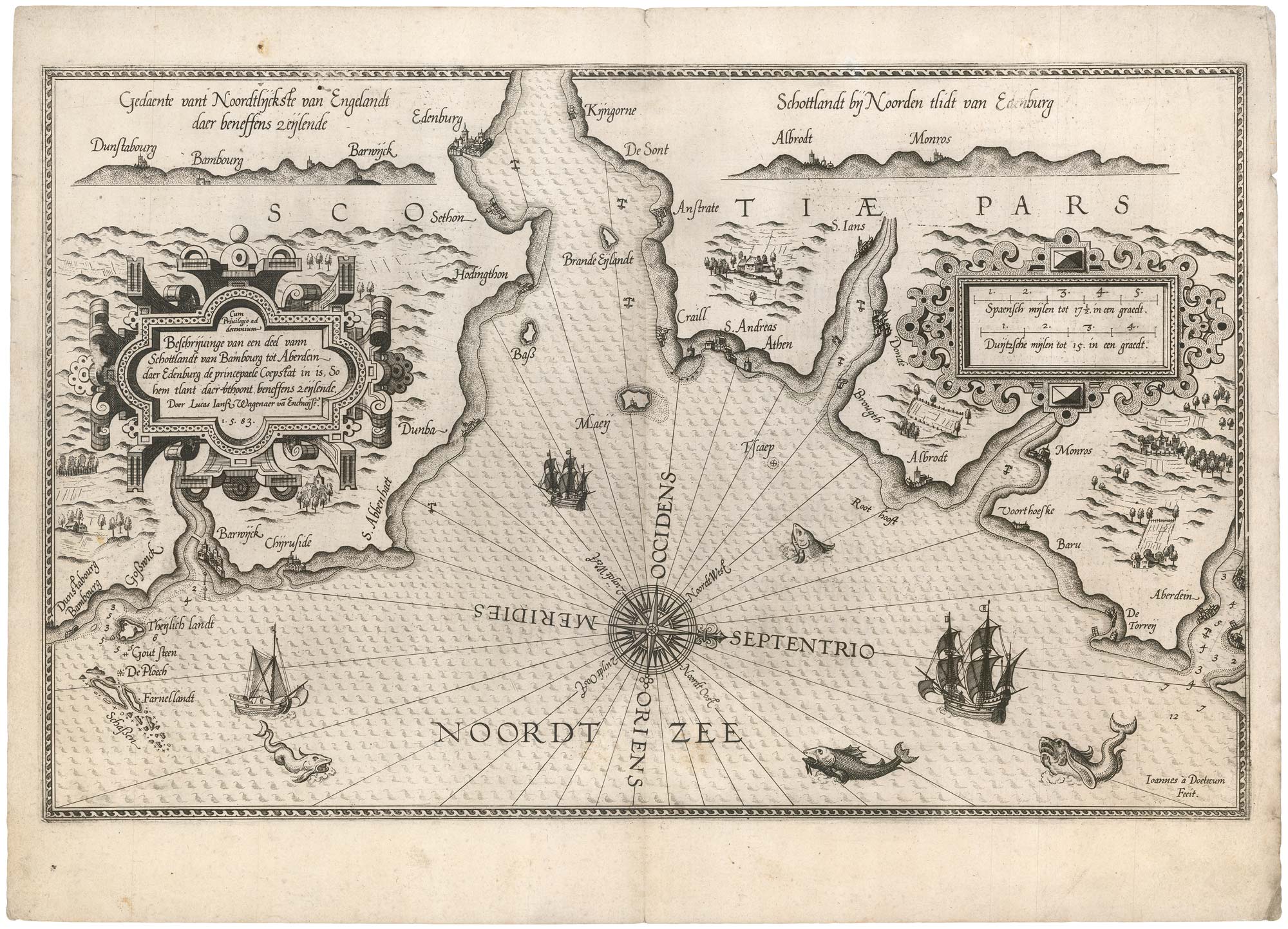
The Rare English Edition of Waghenaer’s chart of south-east Scotland
WAGHENAER, Lucas Janzoon. Date: 1588Stock #: 24588 £3,500.00 -
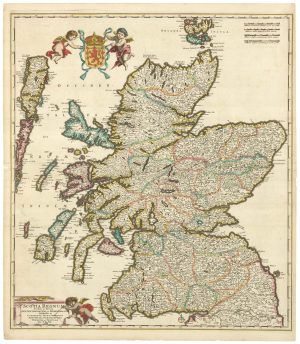
A 17th century old map of Scotland
DE WIT, Frederick. Date: 1680Stock #: 23591 £750.00 -
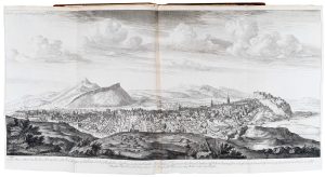
The earliest series of town prospects published in Britain
SLEZER, John. Date: 1747Stock #: 20013 £6,500.00 -
A scarce miniature map of Scotland
ROGIERS, Salomon. Date: 1807Stock #: 22089 £160.00 -
A two-sheet sea chart of Scotland and northern Ireland
MORTIER, Pierre. Date: 1750Stock #: 24905 £680.00
Items by the same author
Add to Wishlist
Add to Wishlist