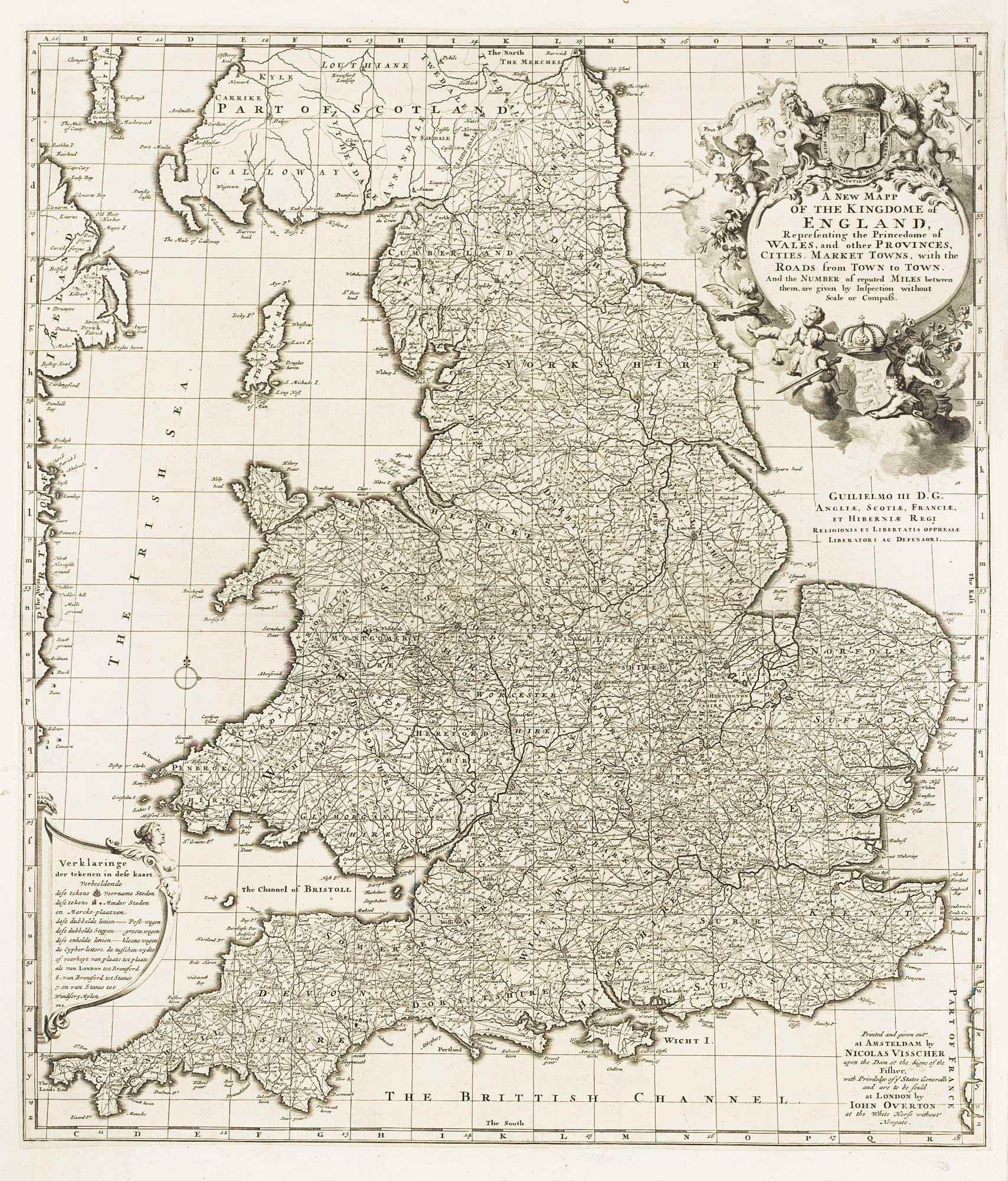


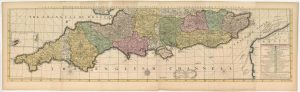
A separate-issue road map of England
A New Mapp of the Kingdome of England Representing the Princedome of Wales, and other Provinces, Cities, Market Towns, with the Roads from Town to Town. And the Number of reputed Miles between them, are given by Inspection without Scale or Compass. Printed and given out by Nicolas Visscher upon the Dam at the signe of the Fischer... and are to be sold by John Overton at the White Horse without Newgate.
Amsterdam, c.1694. 570 x 500mm.
£480.00
Description
A callaboration between publishers in Amsterdam and London. A detailed map of England and Wales criss-crossed by straight lines representing roads. This state, about ten years after the first, is identified by the dedication to William III under the elaborate title cartouche supported by putti and surmounted with the Royal Arms.
Condition:
Trimmed close to neatline, laid on contemporary paper as originally issued.References:
Shirley 'British Isles' Visscher 2 , State 4 of 5.Related products
-

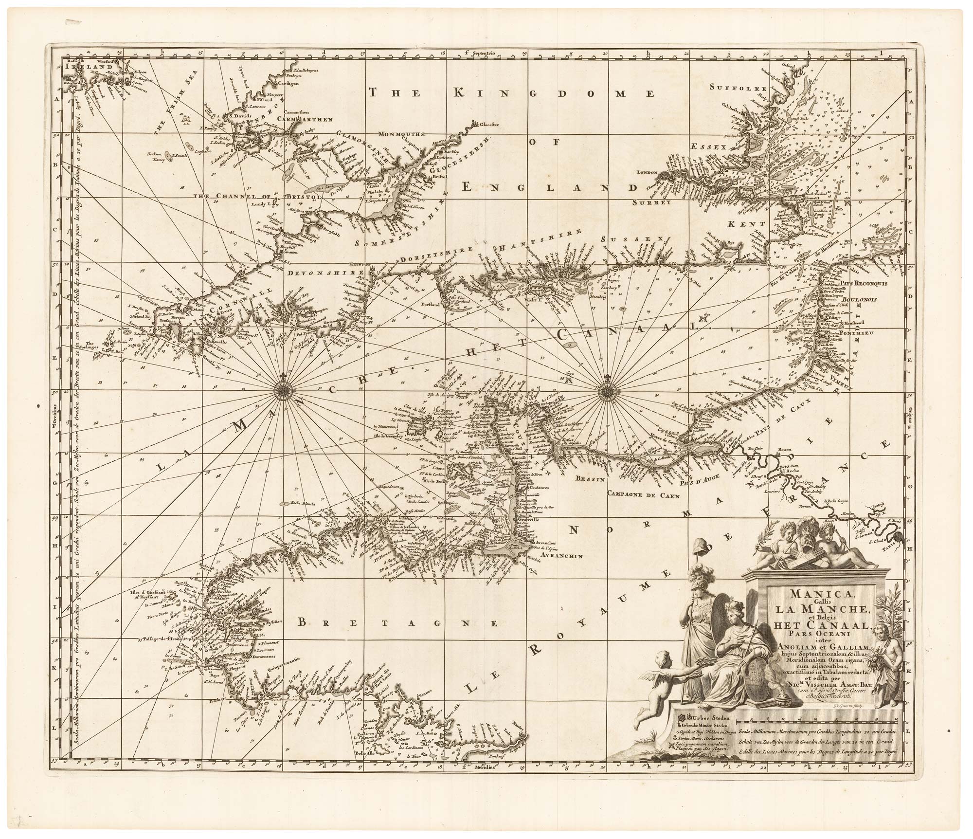
An English 17th century sea-chart of Dover to Spurn Head with the River Thames
COLLINS, Greenvile. Date: 1740Stock #: 25078 £1,500.00 -
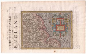
North East England from the first English Edition of the ‘Atlas Minor’
HONDIUS, Jodocus. Date: 1635Stock #: 22447 £110.00 -
Speed’s map of the wars of England
SPEED, John. Date: 1665Stock #: 23791 £1,800.00 -
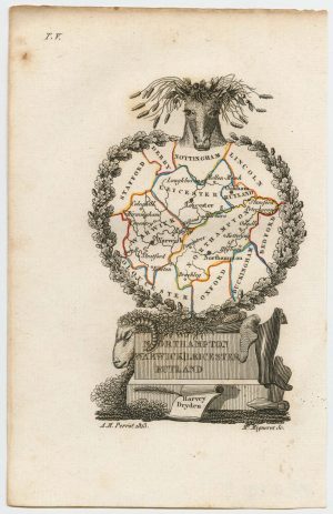
Miniature map of the East Midlands
PERROT, Aristide Michel. Date: 1828Stock #: 23304 £60.00 -
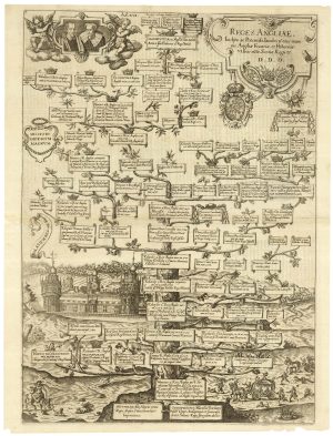
A family tree of the English Royal Family
CUSTOS, Dominicus. Date: 1625Stock #: 25204 £500.00 -
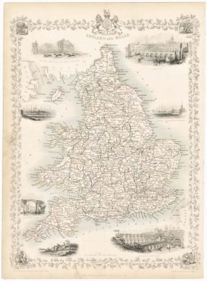
Map of England and Wales with vignettes
TALLIS, John. Date: 1851Stock #: 23491 £180.00 -
The southern counties of England from a 1700 wall map of England
HARRIS, John. Date: 1700Stock #: 25108 £3,000.00 -
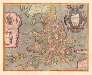
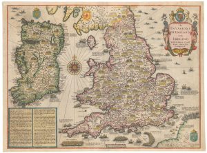
The rarest Ortelius atlas map of England and Wales
ORTELIUS, Abraham. Date: 1603Stock #: 25643 £2,000.00 -
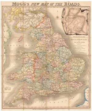
A colourful Georgian map of the roads of England & Wales
MOGG, Edward Slatford. Date: 1838Stock #: 22986 £250.00
Items by the same author
Add to Wishlist
Add to Wishlist

Early 18th century map of Turkey
VISSCHER, Nicolas. Date: 1705 Stock #: 20555 £450.00
Add to Wishlist
Add to Wishlist
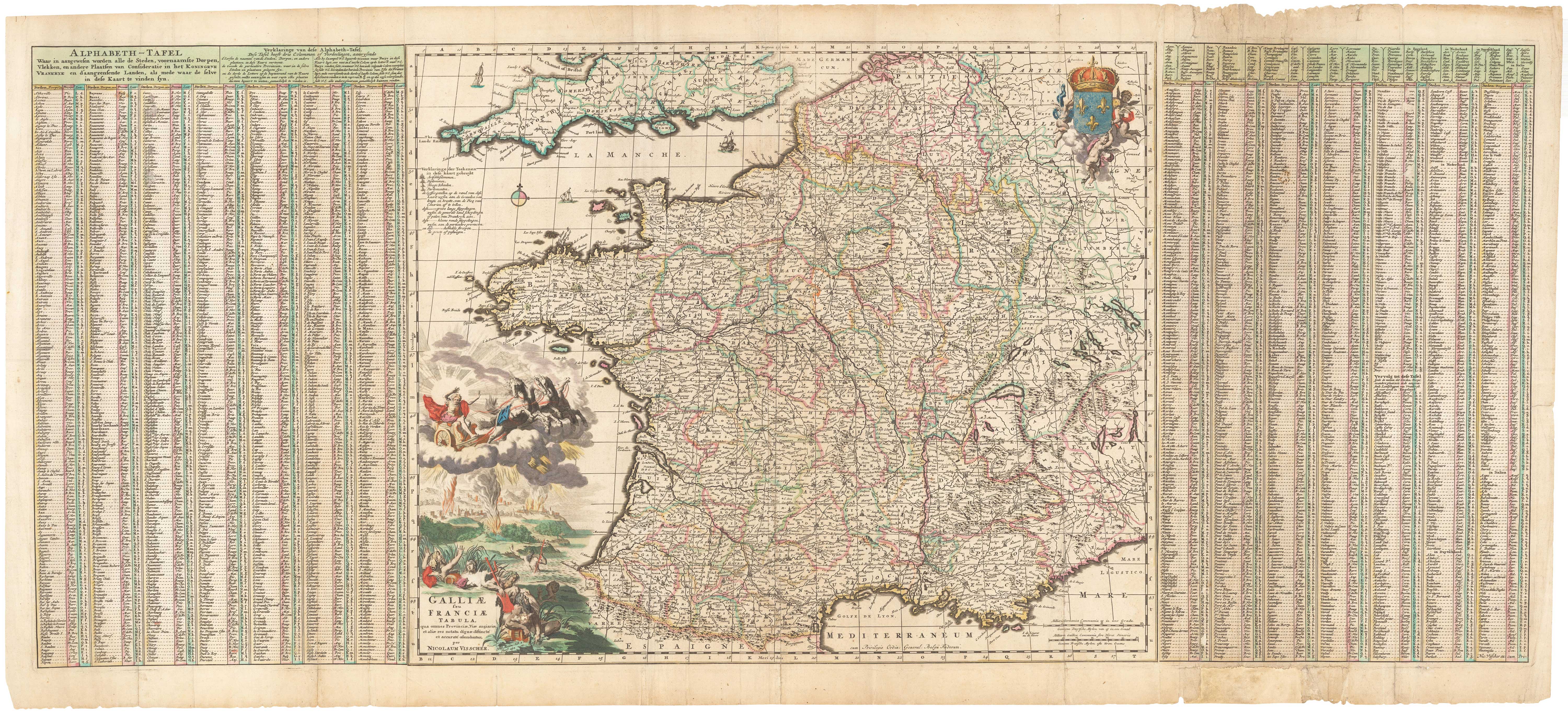
A 17th century map of France with rare gazzetteer side-panels
VISSCHER, Nicolas. Date: 1690 Stock #: 23744 £750.00
Add to Wishlist
Add to Wishlist

A large and colourful map of Sri Lanka
VISSCHER, Nicolas. Date: 1680 Stock #: 22571 £1,000.00
Add to Wishlist
Add to Wishlist