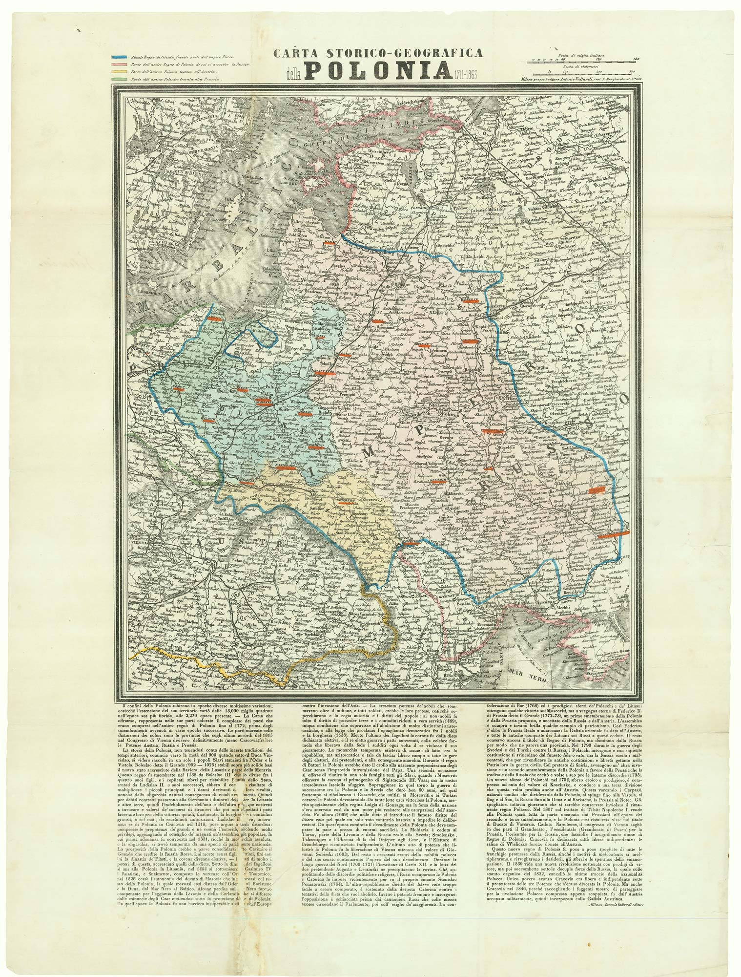


A map of the Partition of Poland
Carta Storico-Geografica della Polonia 1711-1863.
Milan, 1863. Lithograph with original colour. Sheet 580 x 435mm.
£700.00
Description
A map showing the loss of territory suffered by Poland at the hands of the Russian, Austrians and Prussians, all coloured according to the explanatory key at the top left corner.
Condition:
Binding folds flattened, with repaired tears with loss of text outside the map.Related products
-
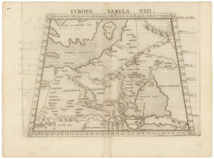
A 16th century map of eastern Europe according to Ptolemy
RUSCELLI, Girolamo. Date: 1599Stock #: 22245 £220.00 -
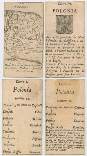
Four scarce Italian playing cards depicting Poland
Anonymous. Date: 1790Stock #: 24241 £850.00 -
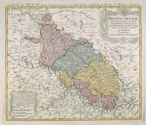
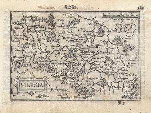
18th century map of Silesia
MAYER, Tobias. Date: 1751Stock #: 17592 £380.00 -
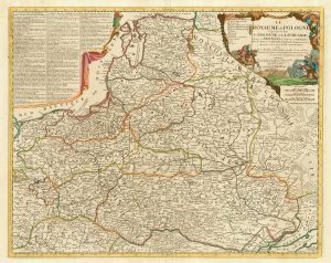
A scarce 18th century map of the Polish-Lithuanian Commonwealth
NOLIN, Jean Baptiste jnr. Date: 1742Stock #: 24544 £950.00 -

A pirated edition of the Ortelius Epitome map of Poland
ORTELIUS, Abraham. Date: 1655Stock #: 21727 £180.00 -
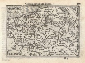
A 16th century miniature map of Poland
LANGENES, Barent. Date: 1599Stock #: 21314 £250.00 -
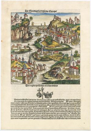
An incunable ‘view’ of Poland
SCHEDEL, D. Hartmann. Date: 1493Stock #: 23232 £650.00 -
A 16th century miniature map of Silesia
LANGENES, Barent. Date: 1599Stock #: 21325 £160.00 -
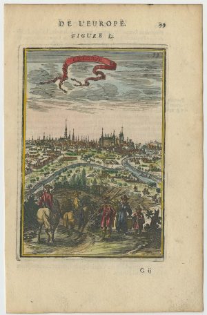
A 17th century prospect of Krakow
MALLET, Alain Manesson. Date: 1683Stock #: 24768 £250.00
Items by the same author
Add to Wishlist
Add to Wishlist
