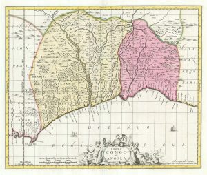
Early 18th century map of Congo & Angola
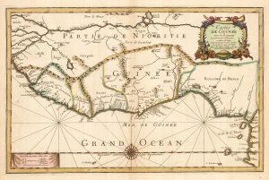
Royaumes de Congo et d'Angola...
Leiden, c.1720. 290 x 350mm.
£220.00
1 in stock
x
Question About This Item?
Early 18th century map of Congo & Angola & AA, Pieter van der.Stock #: 19131
Add to Wishlist
Export as PDFEnquireSimilar to Sell?Add to Wishlist
Description
Map of the Congo and Angola. Shows from c. de Lopo Gonsalves and Loango, to Baya de Thoro and Benguela Regnum, and east to the Congo River. Centered on the Zaire River. With a decorative title cartouche of lions, elephants, ostriches and warriors.
Condition:
A good example.Related products
-
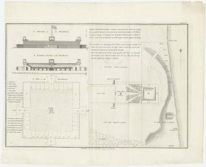
Housing the Nova Scotian Settlers on Bolama
WADSTROM, Carl Bernard. Date: 1795Stock #: 25182 £400.00 -
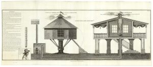
Designs of houses for use in the Sierra Leone colony
WADSTROM, Carl Bernard. Date: 1795Stock #: 25251 £250.00 -
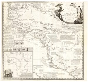
An Abolitionist’s map of Sierra Leone
WADSTROM, Carl Bernard. Date: 1795Stock #: 25184 £3,500.00 -
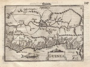
A 16th century miniature map of Guinea
LANGENES, Barent. Date: 1599Stock #: 21296 £120.00 -
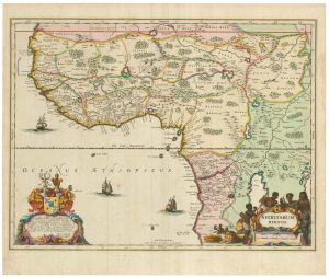
Uncommon map of Congo and Angola
BLAEU, Johannes. Date: 1705Stock #: 20514 £280.00 -
A 17th century old map of the Gulf of Guinea in West Africa
JANSSON, Jan. Date: 1680Stock #: 23630 £500.00 -
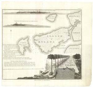
The Nova Scotian Settlers on Bolama
WADSTROM, Carl Bernard. Date: 1795Stock #: 25181 £600.00 -
An uncommon Spanish sea chart of Gabon, the Congo and Angola
BREGANTE, S. Date: 1870Stock #: 18238 £700.00 -
Du Val’s folio map of the slave forts of the Gulf of Guinea
DU VAL, Pierre. Date: 1671Stock #: 23256 £480.00
Items by the same author
Add to Wishlist
Add to Wishlist

A fine plan of Rome after Falda with exceptional colouring
AA, Pieter van der. Date: 1695 Stock #: 25236 £3,000.00
Add to Wishlist
Add to Wishlist
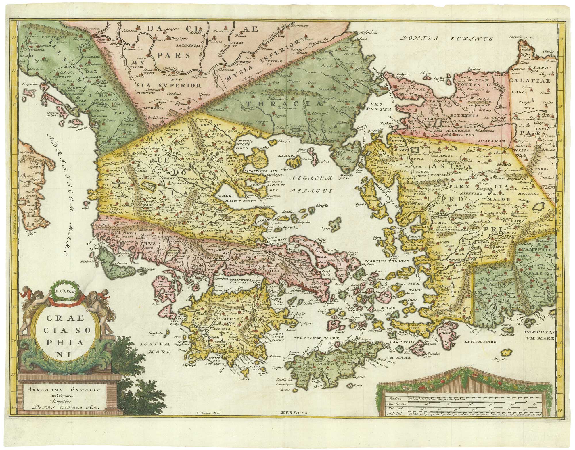
Early 18th century map of Ancient Greece after Ortelius
AA, Pieter van der. Date: 1712 Stock #: 21219 £400.00
Add to Wishlist
Add to Wishlist
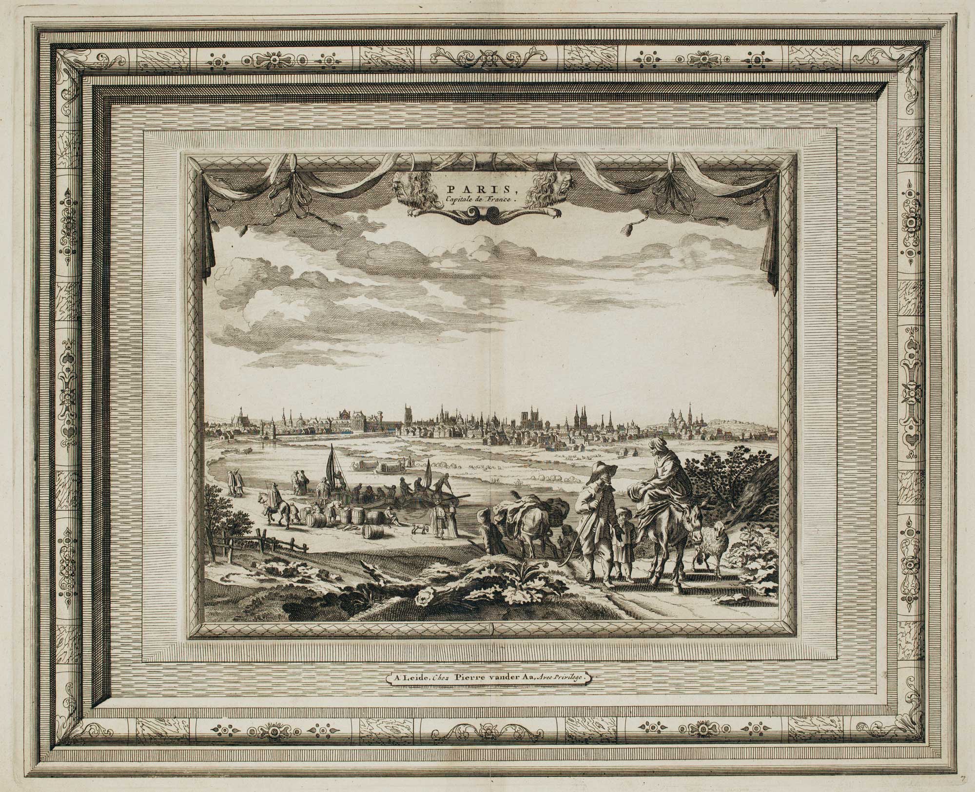
Early 18th century view of Paris
AA, Pieter van der. Date: 1715 Stock #: 9942 £580.00
Add to Wishlist
Add to Wishlist
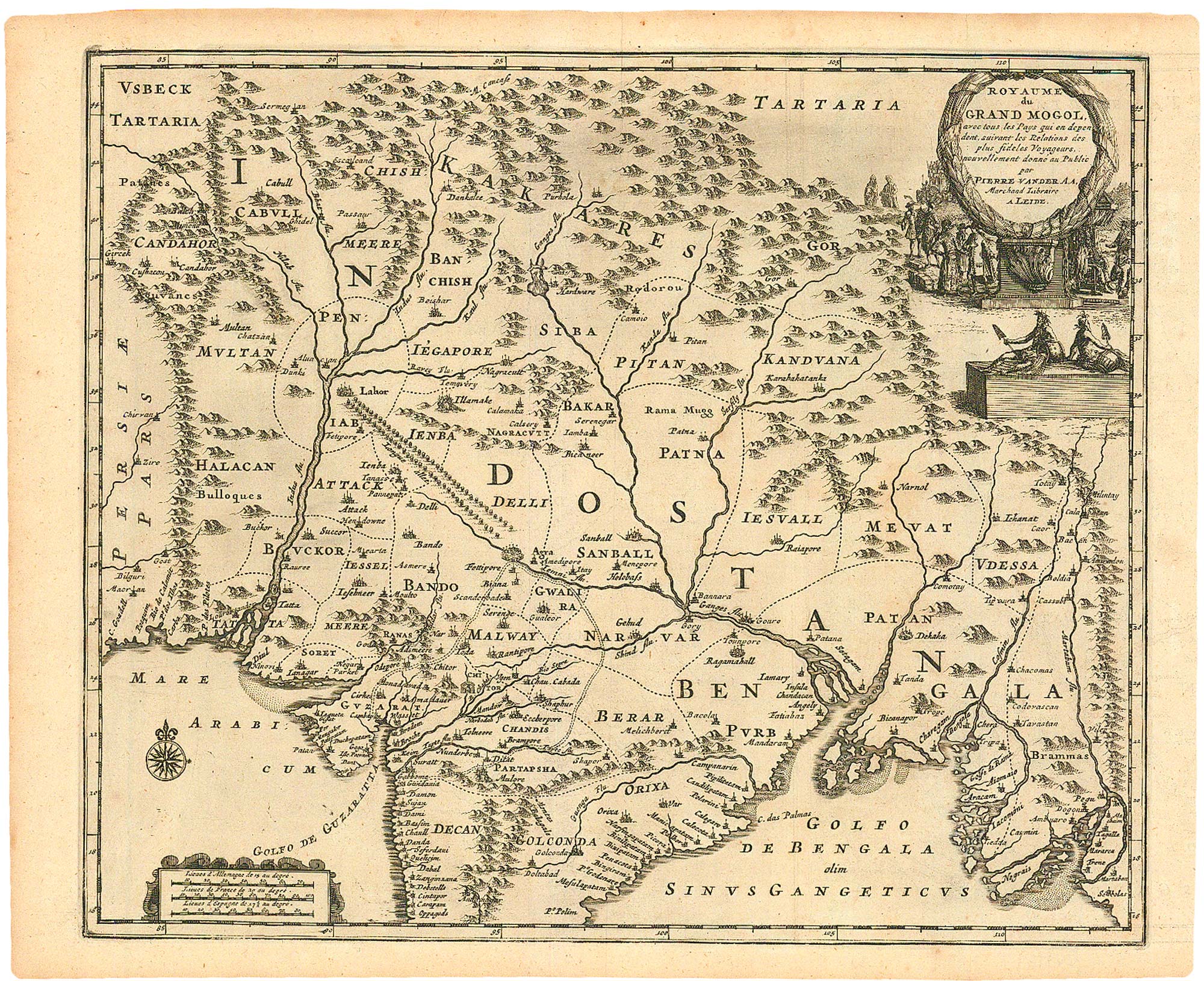
A scarce Dutch map of the Mogol Empire
AA, Pieter van der. Date: 1714 Stock #: 24795 £400.00
Add to Wishlist
Add to Wishlist