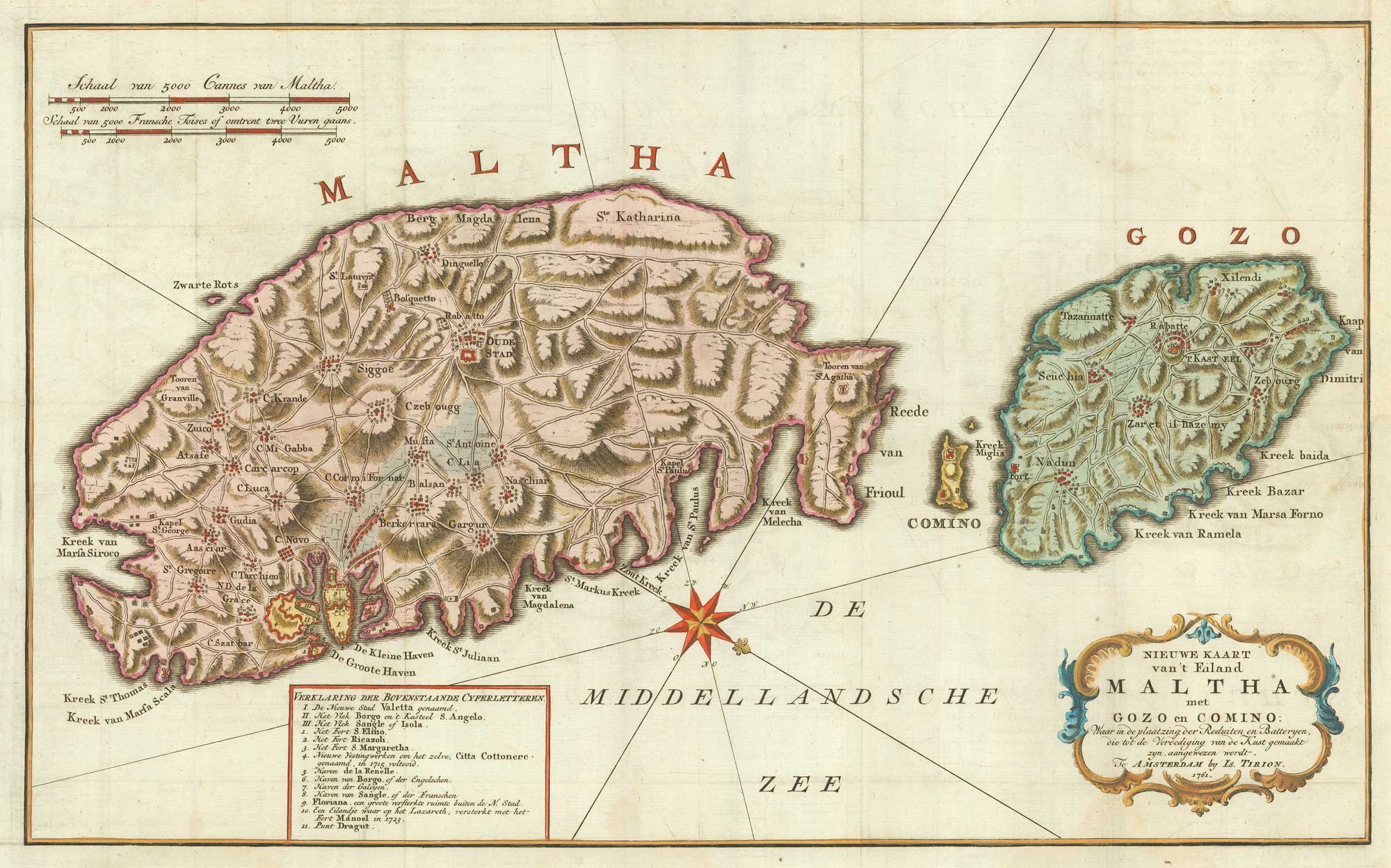


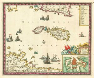
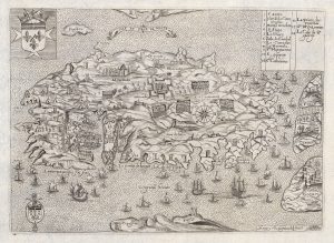
A military map of Malta from the mid-18th century
Nieuwe Kaart van't Eiland Maltha met Gozo en Comino: waar in de plaatzing der Reduiten en Batteryen...
Amsterdam: Tirion, 1761. Coloured. 290 x 460mm.
£680.00
1 in stock
x
Question About This Item?
A military map of Malta from the mid-18th century & TIRION, Isaak.Stock #: 19418
Add to Wishlist
Export as PDFEnquireSimilar to Sell?Add to Wishlist
Description
A map of the islands of Malta, Gozo and Comino, marking the Knights of Malta's 'redoubts and batteries'. The map is oriented with north at the bottom right.
Condition:
A good example.Related products
-
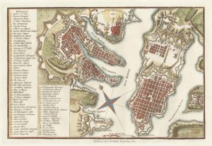
A late-18th century plan of Valletta
ANDREWS, John. Date: 1800Stock #: 22602 £280.00 -
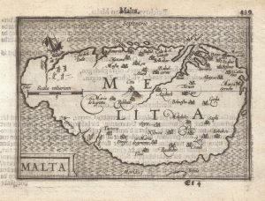
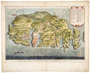
A 16th century miniature map of Malta
LANGENES, Barent. Date: 1599Stock #: 21326 £400.00 -
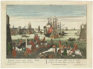
An 18th century vue d’optique of Valletta Harbour
PROBST, Georg Balthasar. Date: 1760Stock #: 21231 £850.00 -
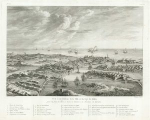
View of Valletta
BERTHAULT. Date: 1785Stock #: 18632 £320.00 -
18th century Bird’s-eye view map of Malta
PUTTER, Abraham de. Date: 1729Stock #: 21022 £650.00 -
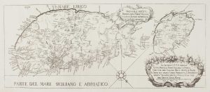
17th century map of Malta
DE WIT, Frederick. Date: 1680Stock #: 19494 £1,600.00 -
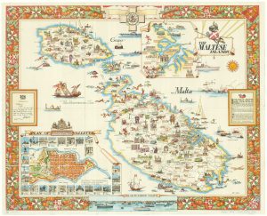
Mid-20th century travel poster of Malta
CIQHERI, Aldo. Date: 1950Stock #: 19416 £440.00 -
The Knights Hospitallers on Malta during the Siege of 1565
NABERAT, Anne de. Date: 1629Stock #: 20426 £1,750.00 -
A rare 18th century map of Malta published on the island
ABELA, Giovanni Francesco. Date: 1772Stock #: 15698 £2,600.00
Items by the same author
Add to Wishlist
Add to Wishlist
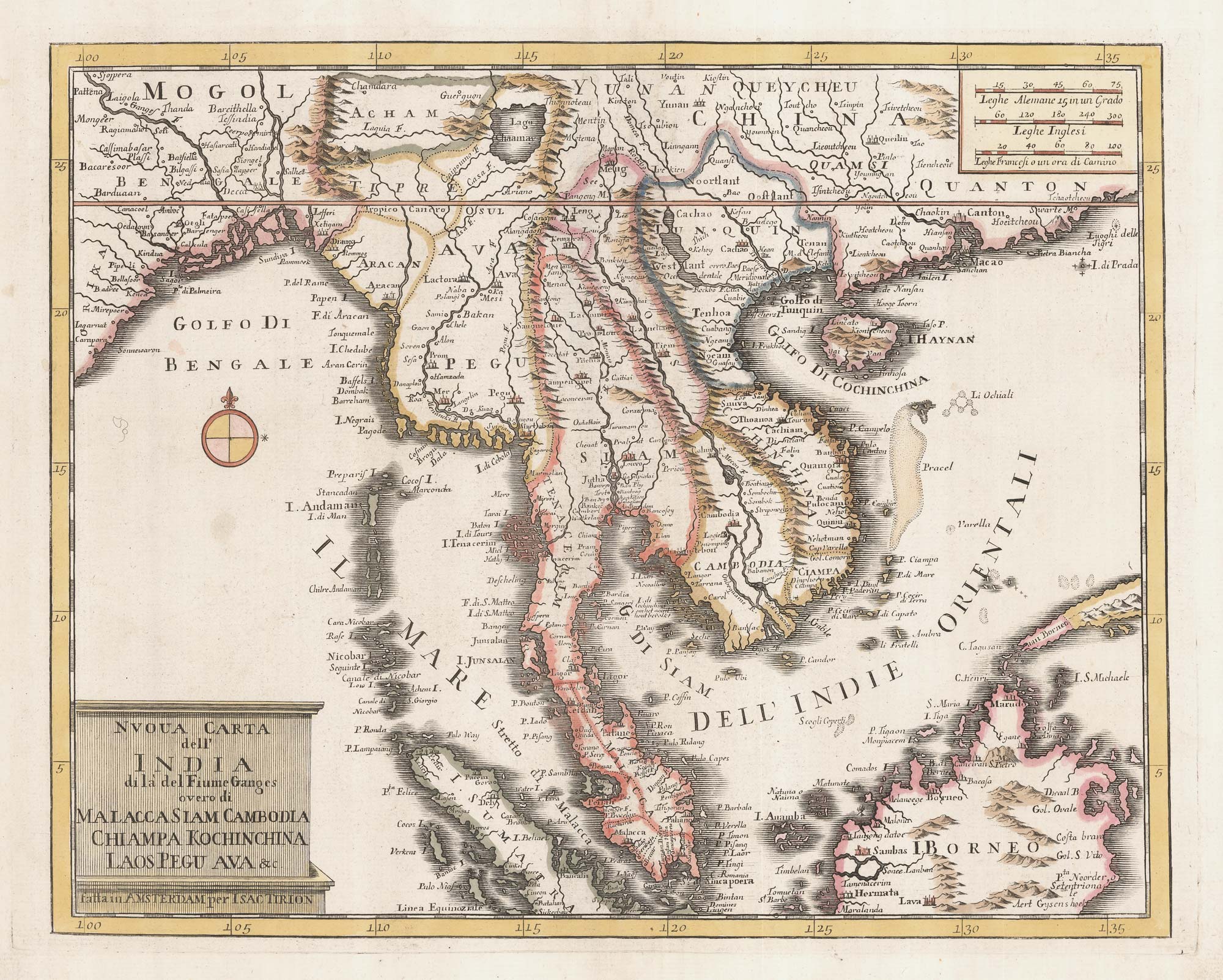
18th century map of Indochina
TIRION, Isaak. Date: 1734 Stock #: 23412 £450.00
Add to Wishlist
Add to Wishlist
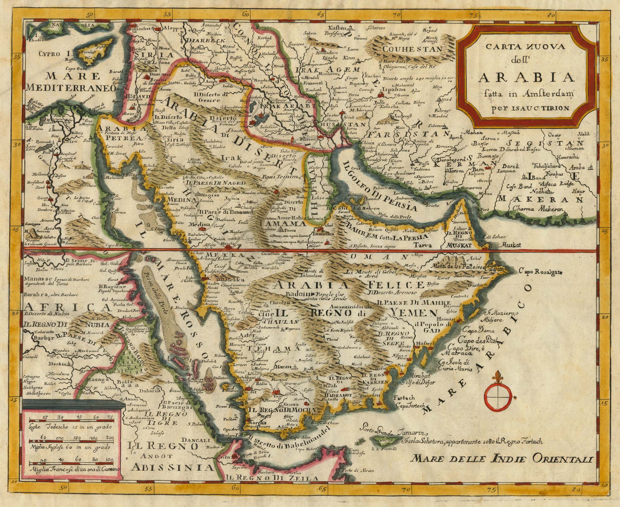
18th century Italian map of Arabia
TIRION, Isaak. Date: 1740 Stock #: 24978 £500.00
Add to Wishlist
Add to Wishlist
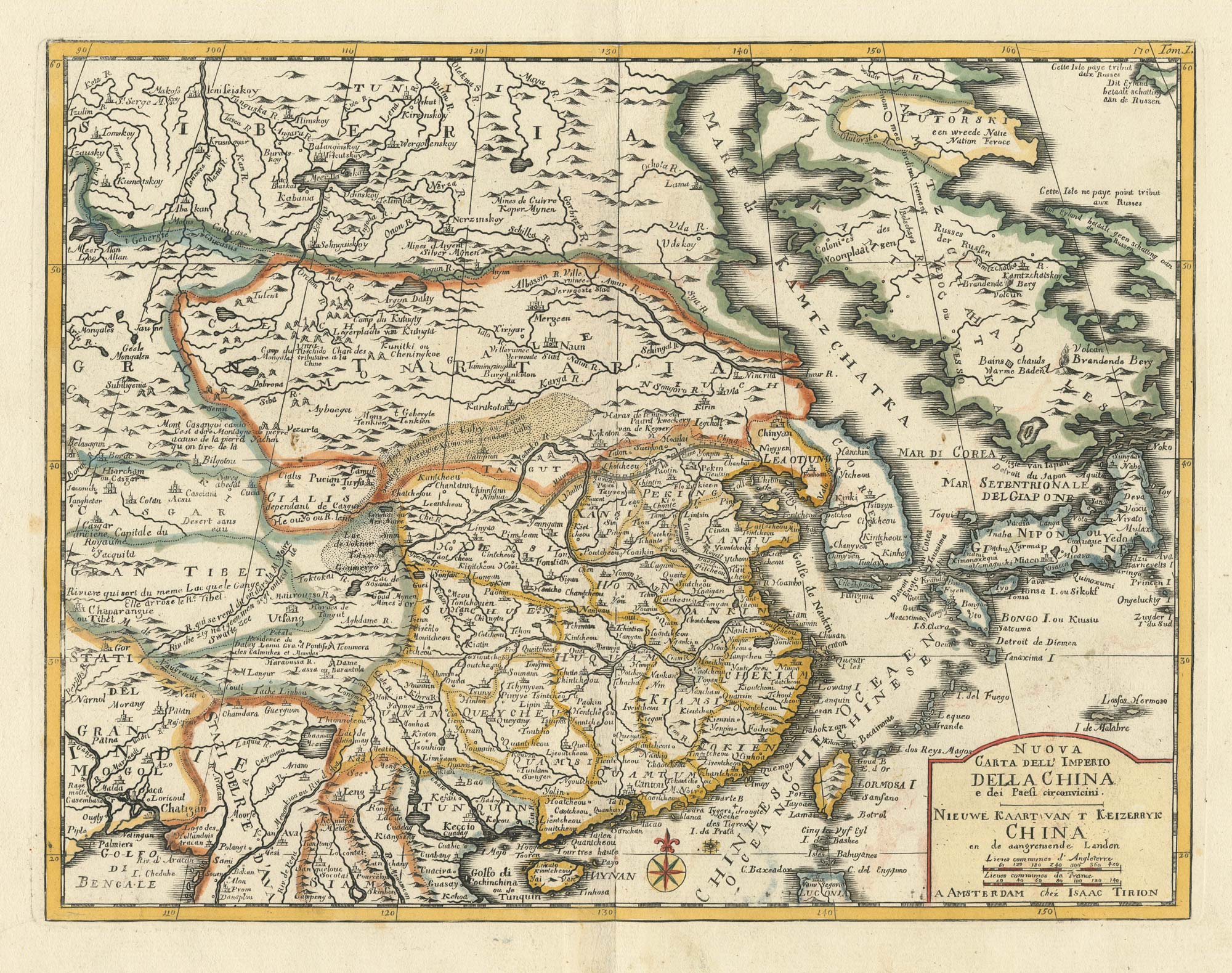
18th century map of China
TIRION, Isaak. Date: 1740 Stock #: 24547 £320.00
Add to Wishlist
Add to Wishlist

18th century map of Sri Lanka
TIRION, Isaak. Date: 1740 Stock #: 24548 £260.00
Add to Wishlist
Add to Wishlist
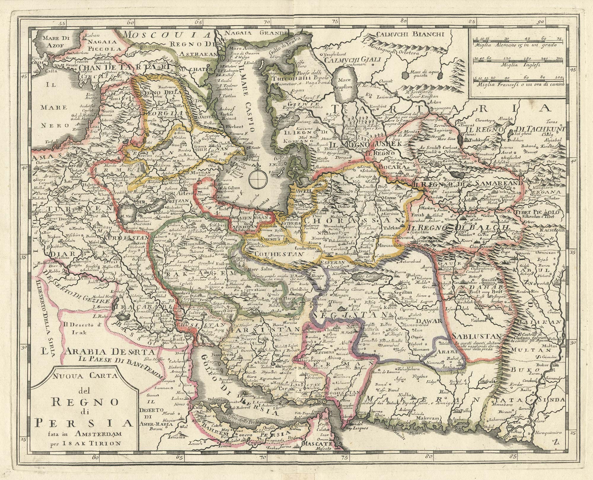
An 18th century Italian map of Persia
TIRION, Isaak. Date: 1740 Stock #: 24550 £300.00
Add to Wishlist
Add to Wishlist