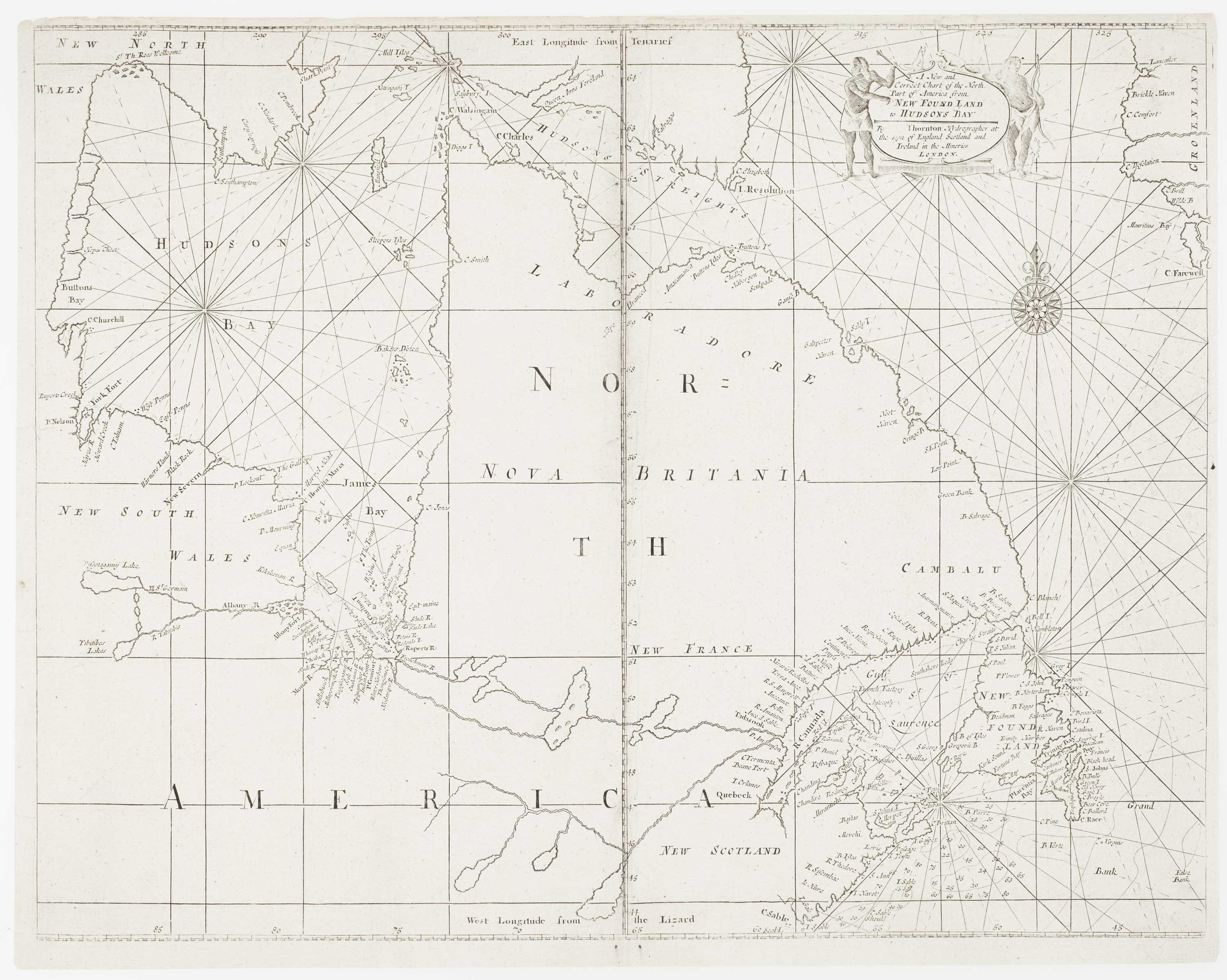


An early English chart of northern Canada with Hudson Bay
A New and Correct Chart of the North Part of America from New Found Land to Hudson Bay.
London: W. & J. Mount and T. Page, 1748. 440 x 560mm.
£300.00
1 in stock
x
Question About This Item?
An early English chart of northern Canada with Hudson Bay & THORNTON, John.Stock #: 15550
Add to Wishlist
Export as PDFEnquireSimilar to Sell?Add to Wishlist
Description
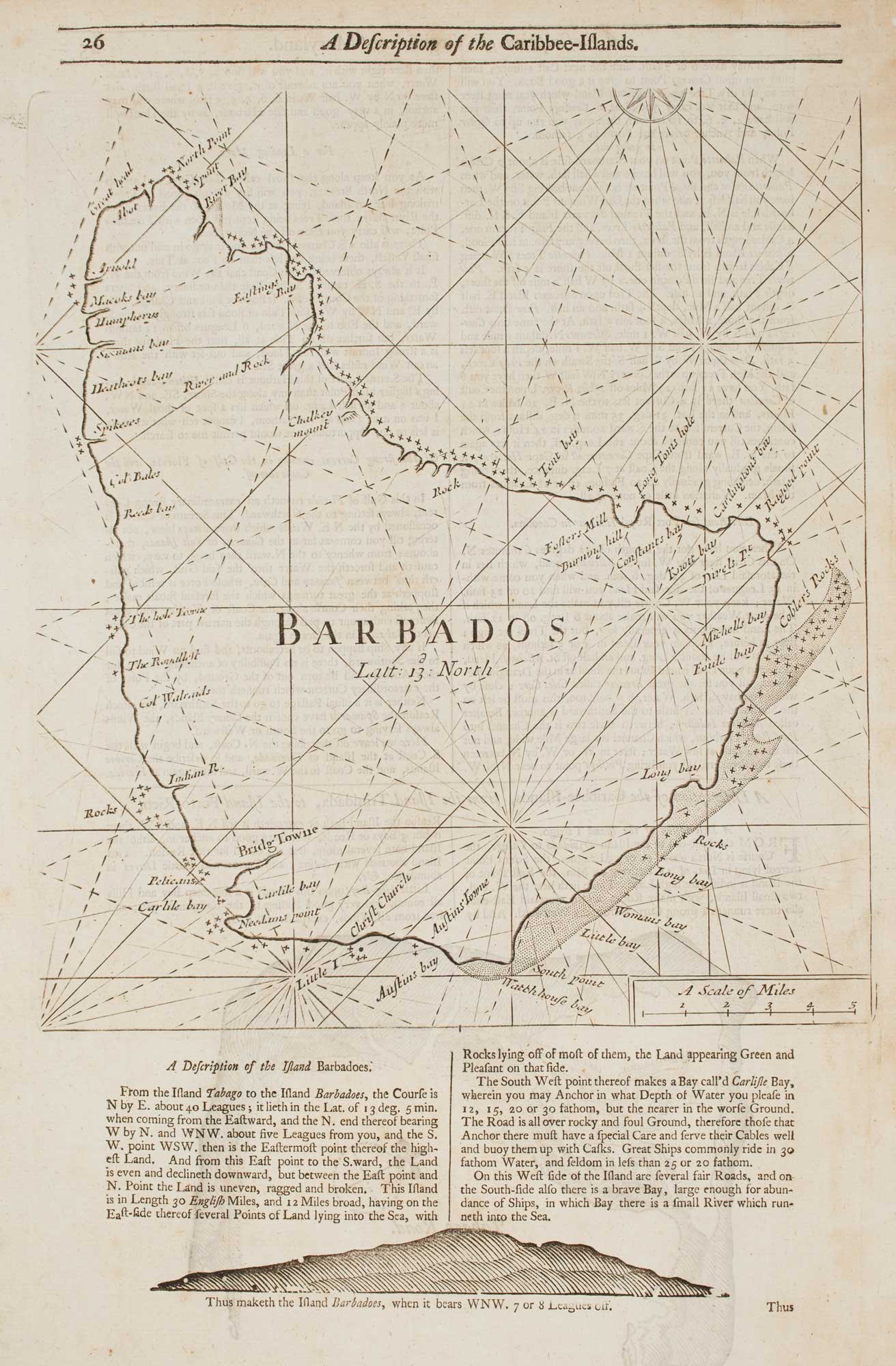
A sea chart of northern Canada, with Hudson Bay, Nova Scotia and Newfoundland. It shows the English obsession with finding the North-West Passage to the East Indies, with Hudson Bay full of English names despite the early date. Of interest are the names of the three original Hudson Bay Company forts, at Albany (founded 1679), Moose (here 'Mouse') River and Rupert's River.
Further south the French-dominated areas around the St Lawrence are depicted only vaguely, without the Great Lakes, indicative of the blanket ban on British shipping by the French.
The chart was compiled by John Thornton (1641-1708) and first published in his 'Atlas Maritimus' in 1704. This example was published in an edition of Mount & Page's 'The English Pilot. The Fourth Book Describing The West India Navigation... Also, a New Description of Newfoundland, New-England, New-York, East and West New Jersey, Dellevar-Bay, Virginia, Maryland, and Carolina'. This was the first sea atlas of America containing charts only from English sources.
Condition:
Repairs to top edge, affecting printed border.References:
See SHIRLEY: Maps in the Atlases of the British Library, M.M&P-5c for an edition of the following year.Related products
-
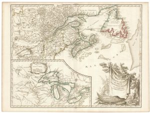
A late 18th century map of Canada and the Great Lakes
ROBERT DE VAUGONDY, Didier. Date: 1793Stock #: 23279 £550.00 -
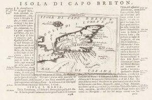
A 17th century map of Cape Breton Island
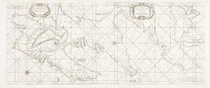
CORONELLI, Vincenzo Maria. Date: 1696Stock #: 21640 £160.00 -
A detailed 18th century plan of the St Lawrence River
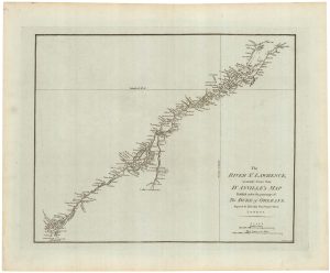
HARRISON, John. Date: 1784Stock #: 22812 £420.00 -
An early English chart of the east coast of Newfoundland on two sheets
SOUTHWOOD, Henry. Date: 1748Stock #: 15528 £900.00 -
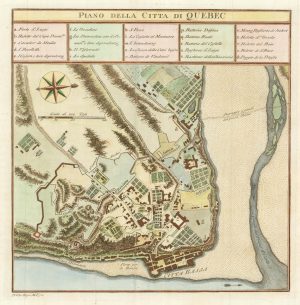
An 18th century Italian plan of Quebec
GAZZETTIERE AMERICANO. Date: 1763Stock #: 22467 £250.00 -
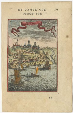
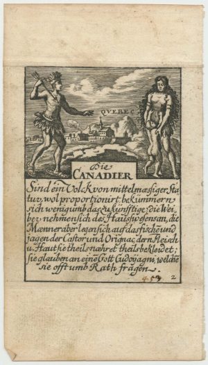
A 17th century prospect of Quebec
MALLET, Alain Manesson. Date: 1683Stock #: 24710 £220.00 -
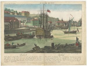
An 18th century ‘vue d’optique’ of Quebec
LEIZELT, Balthasar Frederick. Date: 1775Stock #: 24523 £750.00 -
A rare playing card of Canada with a view of Quebec
Anonymous. Date: 1680Stock #: 25025 £450.00 -
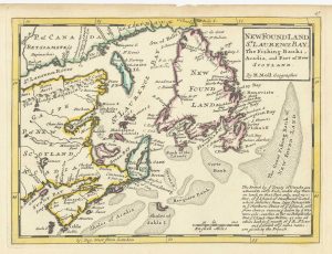
A map of Newfoundland according to the Treaty of Utrecht
MOLL, Herman. Date: 1732Stock #: 25654 £400.00
Items by the same author
Add to Wishlist
Add to Wishlist
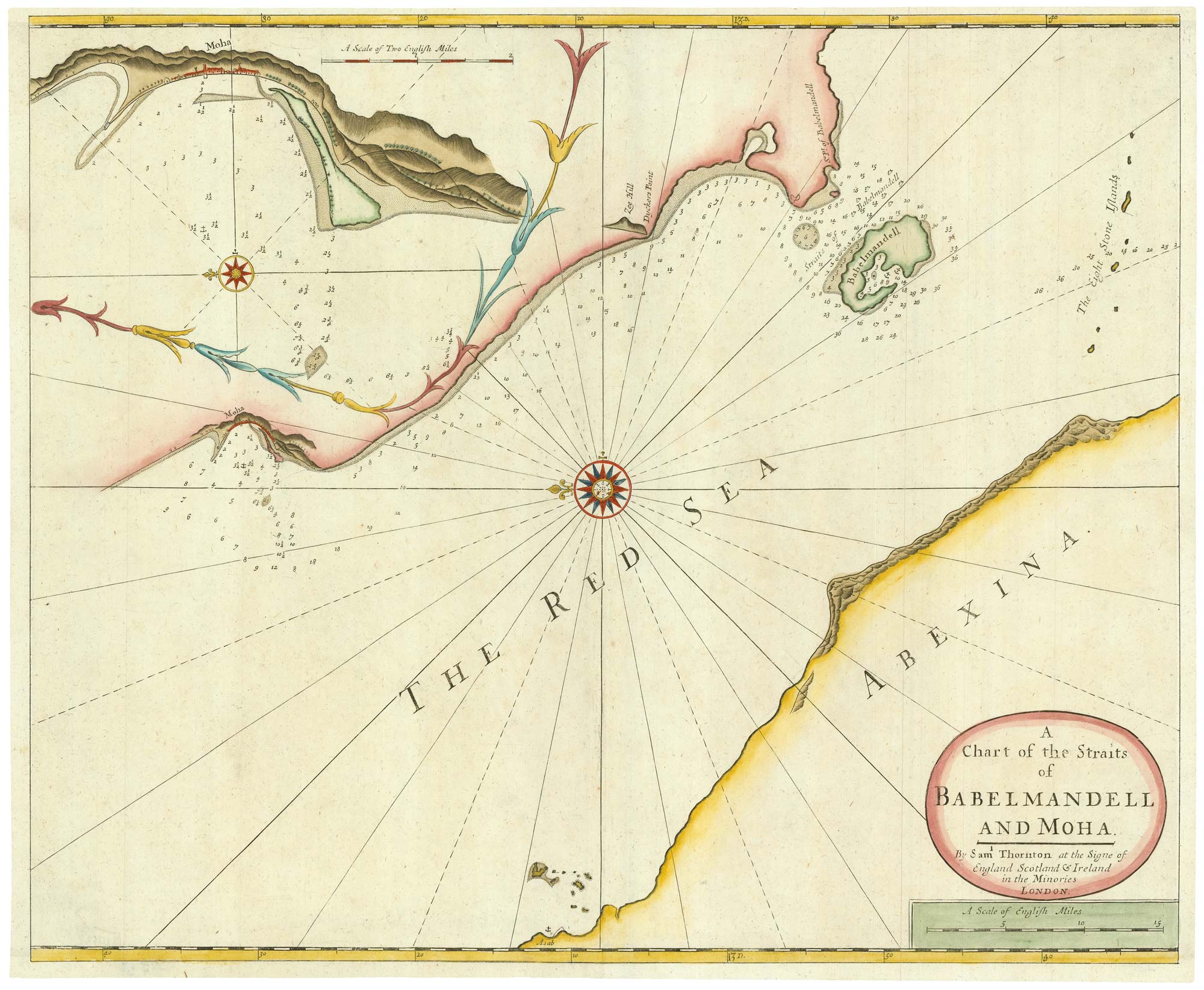
An early English chart of the entrance to the Red Sea
THORNTON, John. Date: 1711 Stock #: 21753 £400.00
Add to Wishlist
Add to Wishlist
An 18th century chart of Barbados
THORNTON, John. Date: 1748 Stock #: 16951 £480.00
Add to Wishlist
Add to Wishlist