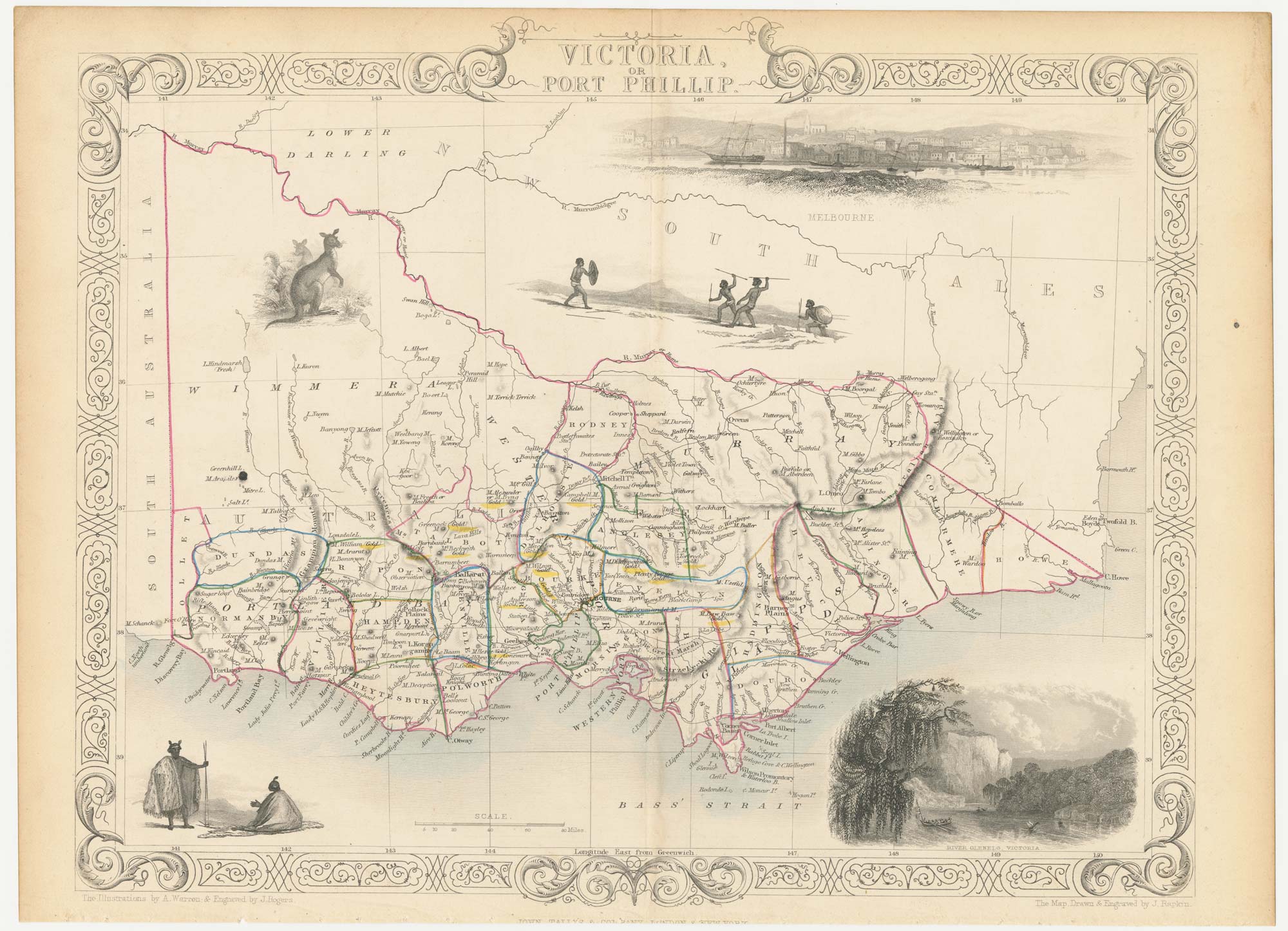


A mid-19th century map of Victoria marking the gold fields
Victoria, or Port Philip.
London, John Tallis & Co., c.1851. Original colour. Steel engraving, 260 x 330mm.
£150.00
1 in stock
x
Question About This Item?
A mid-19th century map of Victoria marking the gold fields & TALLIS, John.Stock #: 23543
Add to Wishlist
Export as PDFEnquireSimilar to Sell?Add to Wishlist
Description
A detailed map of the Australian state of Victoria, within an ornate border and decorated with vignettes of kangaroos, Aborigines, a prospect of Melbourne and a view of the River Glenelg. This state has been updated to show the gold fields, which are highlighted with colour.
The map was drawn and engraved by John Rapkin for the 'The Illustrated Atlas, and Modern History of the World, Geographical Political, Commercial & Statistical', edited by Montgomery Martin, which was one of the last decorative atlases to be published.
Condition:
Trimmed at bottom, affecting publication line.Related products
-

A pictorial map of Australia at the end of the Second World War
GILL, Leslie MacDonald. Date: 1946Stock #: 25191 £1,750.00 -

Portrait of an Aboriginal man
LESUEUR, Charles Alexandre. Date: 1811Stock #: 19660 £220.00 -
A mid-19th century map of Victoria with decorative vignettes
TALLIS, John. Date: 1851Stock #: 21787 £150.00 -
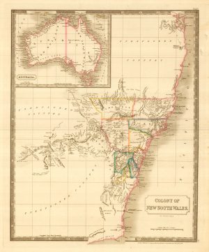
An 18th century map of New South Wales
WILKINSON, Robert. Date: 1794Stock #: 23692 £320.00 -
Captain Cook’s first map of New South Wales
COOK, James. Date: 1774Stock #: 20274 £950.00 -

19th century Australia
WEILAND, Carl Ferdinand. Date: 1850Stock #: 20927 £300.00 -
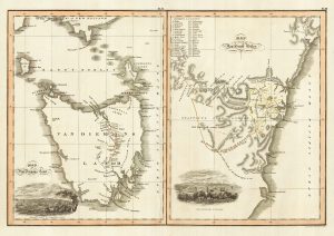
Maps of New South Wales and Tasmania
LIZARS, William Home. Date: 1830Stock #: 22021 £480.00 -
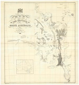
A detailed 19th century survey of South Australia
HARRIS, W.G. Date: 1862Stock #: 24105 £950.00 -
John Oxley’s mapping of New South Wales
HALL, Sidney. Date: 1828Stock #: 24519 £280.00
Items by the same author
Add to Wishlist
Add to Wishlist

Mid 19th century map of Ireland with decorative vignettes
TALLIS, John. Date: 1851 Stock #: 21568 £240.00
Add to Wishlist
Add to Wishlist

A mid-19th century map of Germany with decorative vignettes
TALLIS, John. Date: 1851 Stock #: 23486 £120.00
Add to Wishlist
Add to Wishlist

Map of France with vignette scenes
TALLIS, John. Date: 1851 Stock #: 17766 £100.00
Add to Wishlist
Add to Wishlist

London during the Great Exhibition of 1851
TALLIS, John. Date: 1851 Stock #: 25662 £2,400.00
Add to Wishlist
Add to Wishlist

Mid 19th century map of Greece with decorative vignettes
TALLIS, John. Date: 1851 Stock #: 23523 £140.00
Add to Wishlist
Add to Wishlist
