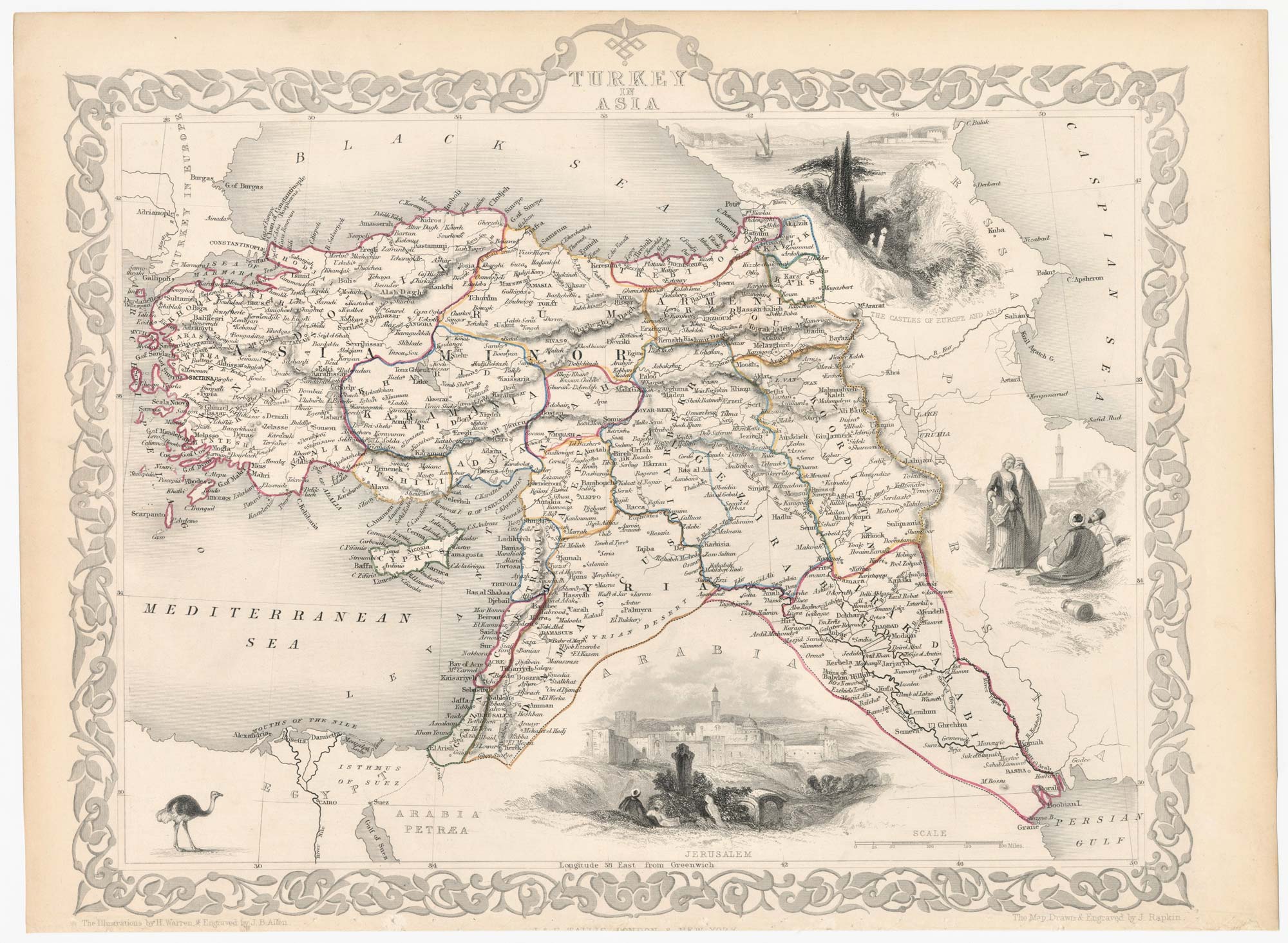


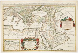
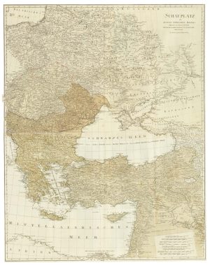
Map of the Ottoman Empire with decorative vignettes
Turkey in Asia.
London, J. & F. Tallis, c.1851. Steel engraving with original outline colour. Printed area 265 x 330mm.
£150.00
1 in stock
x
Question About This Item?
Map of the Ottoman Empire with decorative vignettes & TALLIS, John.Stock #: 23499
Add to Wishlist
Export as PDFEnquireSimilar to Sell?Add to Wishlist
Description
A detailed Victorian map of the Ottoman Empire outside Europe, including Turkey, the Holy Land, Cyprus, Syria and Iraq.with four decorative vignettes including a view of Jerusalem and an ostrich.
The map was drawn and engraved by John Rapkin for the 'The Illustrated Atlas, and Modern History of the World, Geographical Political, Commercial & Statistical', edited by Montgomery Martin, which was one of the last decorative atlases to be published.
Condition:
A good example.Related products
-
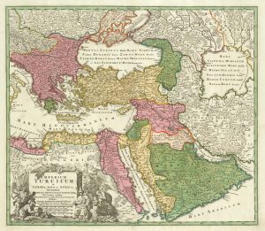
18th century map of the Turkish Empire
HOMANN, Johann Baptist. Date: 1720Stock #: 25258 £650.00 -
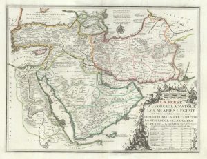
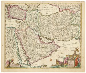
De Fer’s large format of Western Asia centred on Arabia
FER, Nicolas de. Date: 1720Stock #: 25114 £1,250.00 -
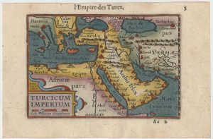
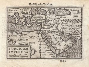
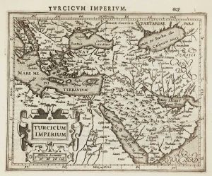
Early 17th century miniature map of the Turkish Empire
BERTIUS, Petrus. Date: 1609Stock #: 24846 £250.00 -
A two-sheet map of the Turkish Empire
JAILLOT, Alexis-Hubert. Date: 1681Stock #: 14632 £1,200.00 -
A 17th century map of the Middle East & Arabia
DE WIT, Frederick. Date: 1666Stock #: 25256 £950.00 -
A 16th century miniature map of the Turkish Empire
LANGENES, Barent. Date: 1599Stock #: 21264 £160.00 -
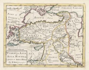
18th century English map of the Ottoman Empire
MOLL, Herman. Date: 1732Stock #: 25669 £160.00 -
Early 17th century map of the Turkish Empire
HONDIUS, Jodocus. Date: 1607Stock #: 11990 £300.00 -
The theatre of the Russo-Turkish War of 1787
SCHRAEMBL, Franz Anton. Date: 1787Stock #: 25060 £500.00
Items by the same author
Add to Wishlist
Add to Wishlist

Mid 19th century map of Ireland with decorative vignettes
TALLIS, John. Date: 1851 Stock #: 21568 £240.00
Add to Wishlist
Add to Wishlist

A mid-19th century map of Germany with decorative vignettes
TALLIS, John. Date: 1851 Stock #: 23486 £120.00
Add to Wishlist
Add to Wishlist

Map of France with vignette scenes
TALLIS, John. Date: 1851 Stock #: 17766 £100.00
Add to Wishlist
Add to Wishlist

London during the Great Exhibition of 1851
TALLIS, John. Date: 1851 Stock #: 25662 £2,400.00
Add to Wishlist
Add to Wishlist

Mid 19th century map of Greece with decorative vignettes
TALLIS, John. Date: 1851 Stock #: 23523 £140.00
Add to Wishlist
Add to Wishlist
