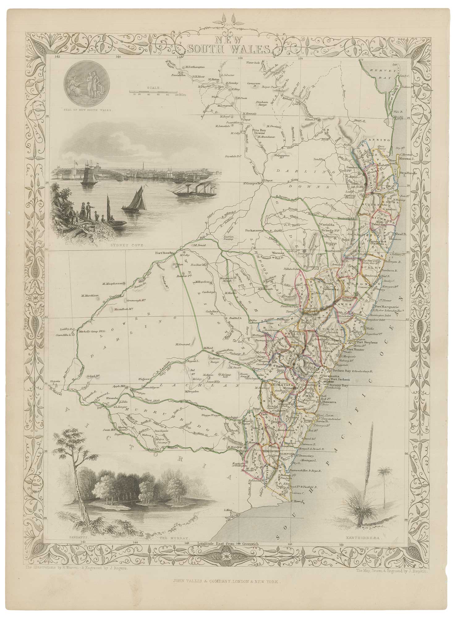


A mid-19th century map of New South Wales with vignettes
New South Wales.
London: John Tallis & Co., c.1851. Outline colour. Steel engraving, 340 x 250mm.
£200.00
1 in stock
x
Question About This Item?
A mid-19th century map of New South Wales with vignettes & TALLIS, John.Stock #: 21598
Add to Wishlist
Export as PDFEnquireSimilar to Sell?Add to Wishlist
Description
A detailed map of New South Wales, within an ornate border and decorated with vignettes of Sydney Cove, the Murray River, the plants Pandanus and Xanthorrhoea, and the Seal of New South Wales.
The map was drawn and engraved by John Rapkin for the 'The Illustrated Atlas, and Modern History of the World, Geographical Political, Commercial & Statistical', edited by Montgomery Martin, which was one of the last decorative atlases to be published.
Condition:
A good example.Related products
-

19th century Australia
WEILAND, Carl Ferdinand. Date: 1850Stock #: 20927 £300.00 -
Folding map of Australia with fine colour
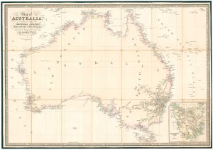
WYLD, James. Date: 1833Stock #: 24071 £980.00 -
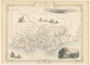
A mid-19th century map of Victoria marking the gold fields
TALLIS, John. Date: 1851Stock #: 23543 £150.00 -
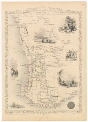
A mid 19th century map of Western Australia with vignettes
TALLIS, John. Date: 1851Stock #: 21789 £180.00 -

An early prospect of Sydney
LESUEUR, Charles Alexandre. Date: 1811Stock #: 19691 £1,400.00 -
The first map of Australia by an Englishman
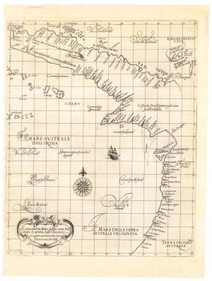
DUDLEY, Robert. Date: 1646Stock #: 23777 £8,500.00 -

Set of three gores covering Australia from Coronelli’s 42 inch globe
CORONELLI, Vincenzo Maria. Date: 1693Stock #: 23726 £4,500.00 -
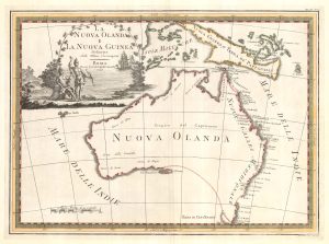
One of the most decorative maps of Australia
CASSINI, Giovanni Maria. Date: 1798Stock #: 17956 £3,750.00 -
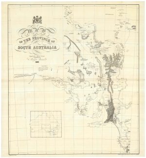
A detailed 19th century survey of South Australia
HARRIS, W.G. Date: 1862Stock #: 24105 £950.00
Items by the same author
Add to Wishlist
Add to Wishlist

Mid 19th century map of Ireland with decorative vignettes
TALLIS, John. Date: 1851 Stock #: 21568 £240.00
Add to Wishlist
Add to Wishlist

A mid-19th century map of Germany with decorative vignettes
TALLIS, John. Date: 1851 Stock #: 23486 £120.00
Add to Wishlist
Add to Wishlist

Map of France with vignette scenes
TALLIS, John. Date: 1851 Stock #: 17766 £100.00
Add to Wishlist
Add to Wishlist

London during the Great Exhibition of 1851
TALLIS, John. Date: 1851 Stock #: 25662 £2,400.00
Add to Wishlist
Add to Wishlist

Mid 19th century map of Greece with decorative vignettes
TALLIS, John. Date: 1851 Stock #: 23523 £140.00
Add to Wishlist
Add to Wishlist
