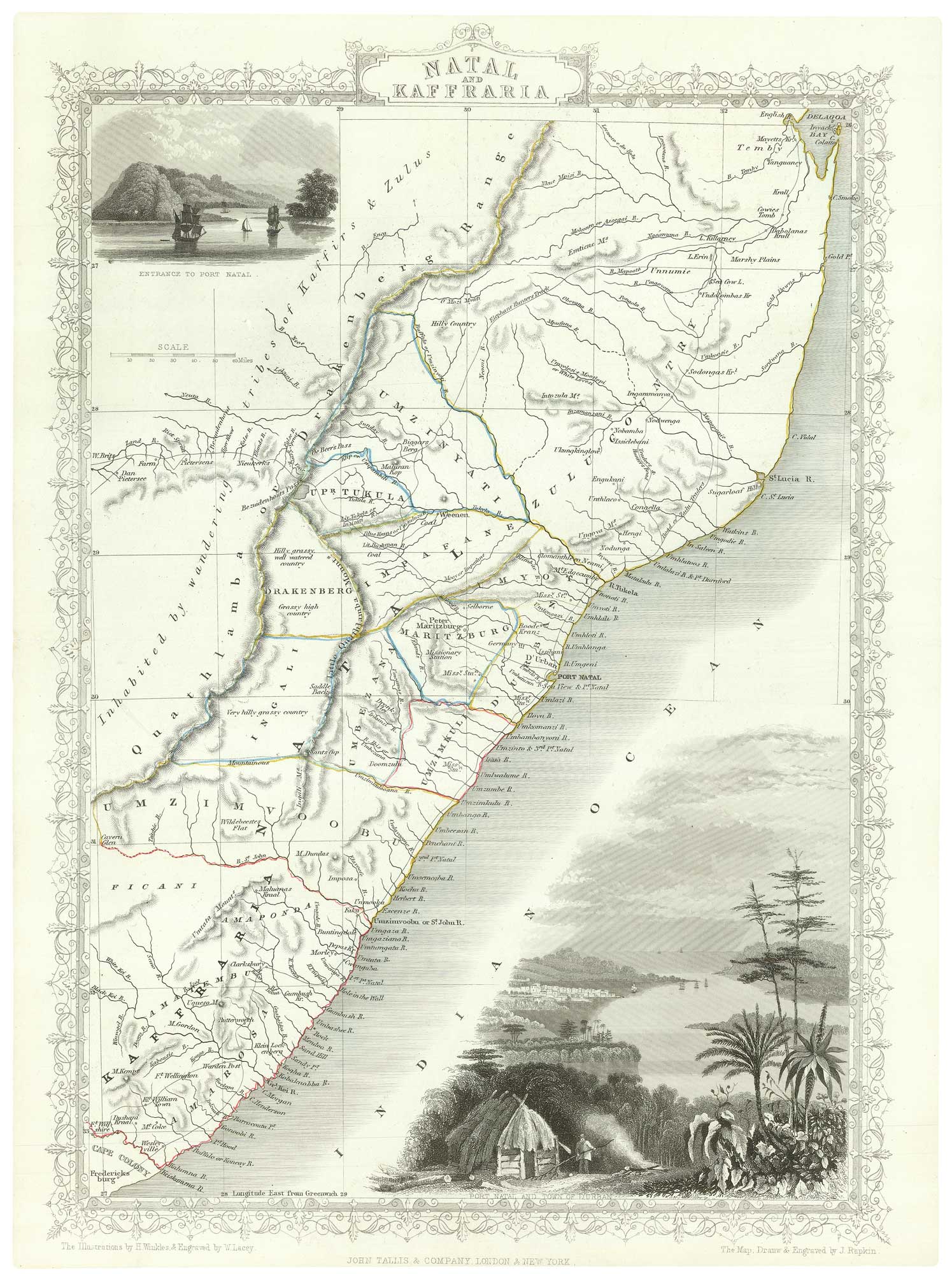


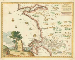
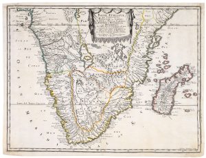
Mid-19th century map of eastern South Africa
Natal and Kaffraria.
London, John Tallis & Co., c.1851. Original outline colour. Steel engraving, 350 x 250mm.
£130.00
1 in stock
x
Question About This Item?
Mid-19th century map of eastern South Africa & TALLIS, John.Stock #: 18539
Add to Wishlist
Export as PDFEnquireSimilar to Sell?Add to Wishlist
Description
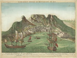
A detailed map of eastern South Africa, showing from Fredericksburg north to Maputo, with attractive vignette views of Durban (Port Natal).
The map was drawn and engraved by John Rapkin for the 'The Illustrated Atlas, and Modern History of the World, Geographical Political, Commercial & Statistical', edited by Montgomery Martin, which was one of the last decorative atlases to be published.
Condition:
A good example.Related products
-
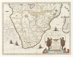
17th century map of Southern Africa
BLAEU, Willem Janszoon. Date: 1665Stock #: 17998 £765.00 -
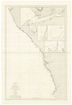
An uncommon Spanish sea chart of Angola, Namibia and South Africa
RIUDAVETS, José Maria. Date: 1870Stock #: 18239 £700.00 -
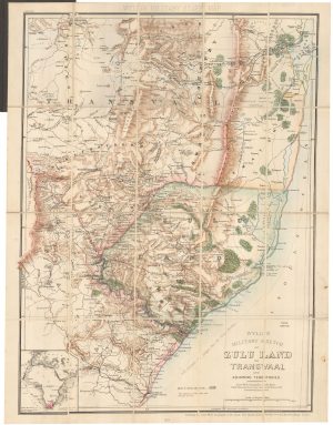
A contemporary military folding map for the Anglo-Zulu War of 1879.
WYLD, James. Date: 1879Stock #: 22989 £650.00 -
18th century Italian map of the Cape of Good Hope
ALBRIZZI, Giovanni Battista. Date: 1740Stock #: 19893 £390.00 -
18th century vue d’optique of the Cape of Good Hope
RIEDEL, Gottlieb Friedrich. Date: 1780Stock #: 23736 £600.00 -
Cape of Good Hope naval prospect
AA, Pieter van der. Date: 1719Stock #: 24077 £400.00 -
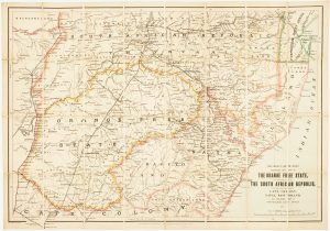
Map of the Orange Free State published the day before the start of the Second Boer War
STANFORD, Edward. Date: 1899Stock #: 15864 £375.00 -
A 17th century French map of Southern Africa
SANSON, Nicolas. Date: 1655Stock #: 20794 £450.00 -
One of the earliest maps to depict the Cape of Good Hope
DE BRY, Theodore. Date: 1612Stock #: 22976 £400.00
Items by the same author
Add to Wishlist
Add to Wishlist

Mid 19th century map of Ireland with decorative vignettes
TALLIS, John. Date: 1851 Stock #: 21568 £240.00
Add to Wishlist
Add to Wishlist

A mid-19th century map of Germany with decorative vignettes
TALLIS, John. Date: 1851 Stock #: 23486 £120.00
Add to Wishlist
Add to Wishlist

Map of France with vignette scenes
TALLIS, John. Date: 1851 Stock #: 17766 £100.00
Add to Wishlist
Add to Wishlist

London during the Great Exhibition of 1851
TALLIS, John. Date: 1851 Stock #: 25662 £2,400.00
Add to Wishlist
Add to Wishlist

Mid 19th century map of Greece with decorative vignettes
TALLIS, John. Date: 1851 Stock #: 23523 £140.00
Add to Wishlist
Add to Wishlist
