

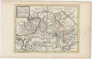
Map of the arena of the Great Game
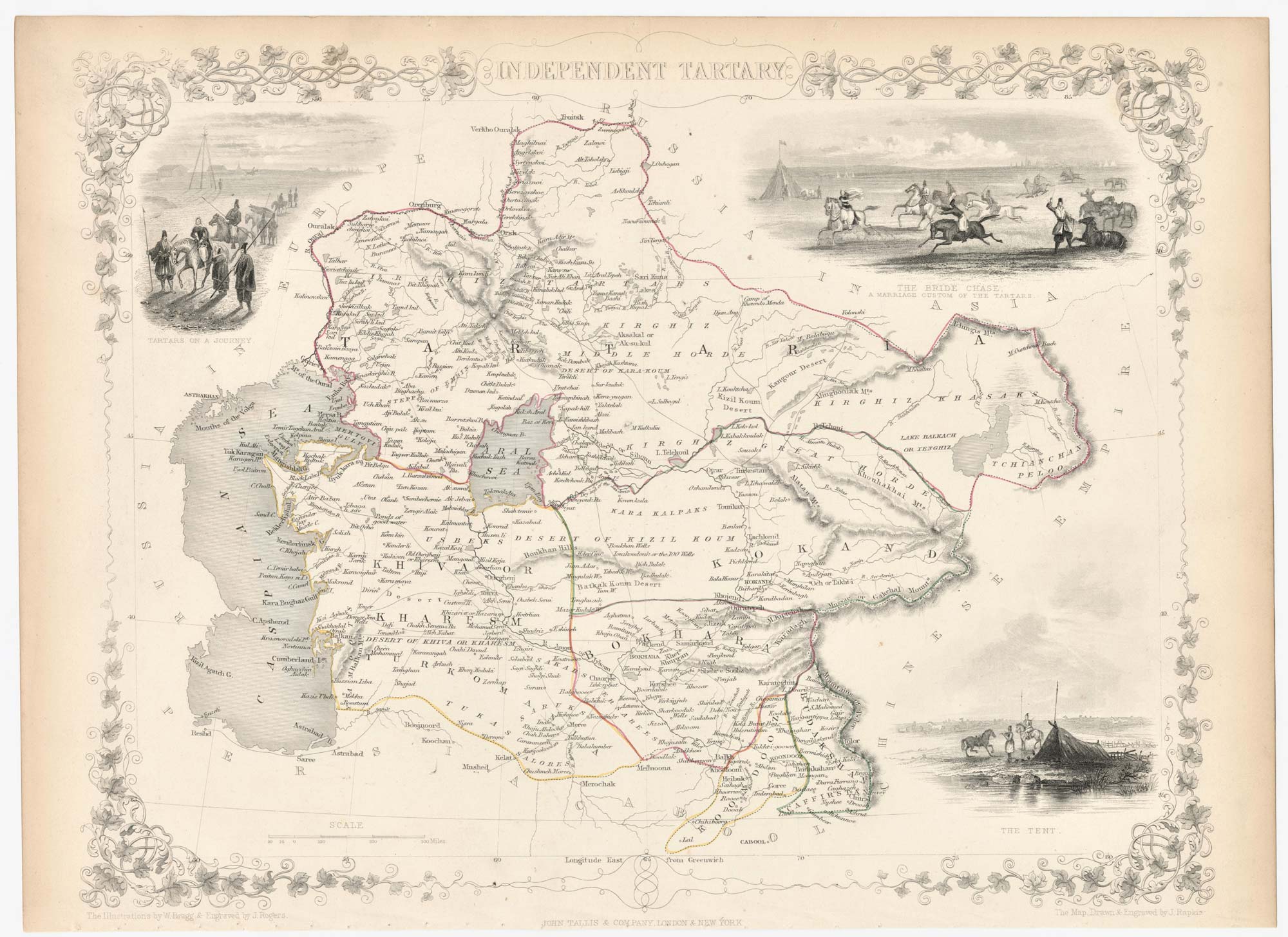
Independent Tartary.
London: J. & F. Tallis, c.1851. Steel engraving with original outline colour. 260 x 330mm.
£180.00
Description
A detailed Victorian map of Central Asia, including the Caspian, Kazakstan and Kyrgystan, with three vignette scenes of Tartar life.
The area was the scene of the Great Game, a mixture of exploration, espionage and diplomacy, played between Russian and Britain, as the Russians attempted to push their empire south to British India. Marked on the map are the cities of Bukhara, Khiva, Merv and Tashkent, which had been unknown to outsiders less than fifty years before.
The map was drawn and engraved by John Rapkin for the 'The Illustrated Atlas, and Modern History of the World, Geographical Political, Commercial & Statistical', edited by Montgomery Martin, which was one of the last decorative atlases to be published.
Condition:
Stitch holes in bottom margin.Related products
-
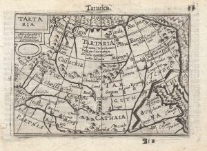
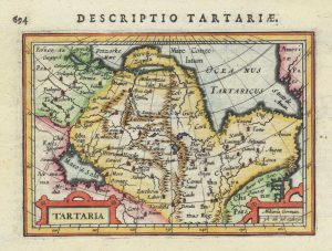
A 16th century miniature map of Tartary
LANGENES, Barent. Date: 1599Stock #: 21289 £220.00 -
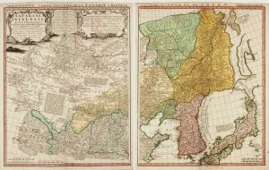
An 18th century two-sheet map of Chinese Tartary
HOMANN HEIRS. Date: 1749Stock #: 15822 £770.00 -
An 18th century playing-card map of Tartary
RABATTA, Augusto & BAILOU, Jean Baptist de. Date: 1779Stock #: 13000 £250.00 -
The Bertius map of Tartary
HONDIUS, Jodocus II. Date: 1616Stock #: 15209 £150.00 -
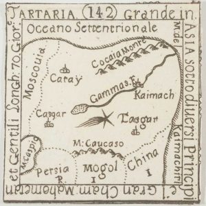
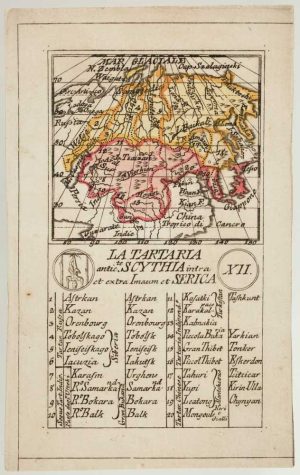
An extremely rare miniature map of Tartary
FRESCHOT, Casimir Don. Date: 1680Stock #: 11116 £380.00 -
18th century English map of Tartary
MOLL, Herman. Date: 1732Stock #: 25671 £200.00
Items by the same author
Add to Wishlist
Add to Wishlist

Mid 19th century map of Ireland with decorative vignettes
TALLIS, John. Date: 1851 Stock #: 21568 £240.00
Add to Wishlist
Add to Wishlist

A mid-19th century map of Germany with decorative vignettes
TALLIS, John. Date: 1851 Stock #: 23486 £120.00
Add to Wishlist
Add to Wishlist

Map of France with vignette scenes
TALLIS, John. Date: 1851 Stock #: 17766 £100.00
Add to Wishlist
Add to Wishlist

London during the Great Exhibition of 1851
TALLIS, John. Date: 1851 Stock #: 25662 £2,400.00
Add to Wishlist
Add to Wishlist

Mid 19th century map of Greece with decorative vignettes
TALLIS, John. Date: 1851 Stock #: 23523 £140.00
Add to Wishlist
Add to Wishlist
