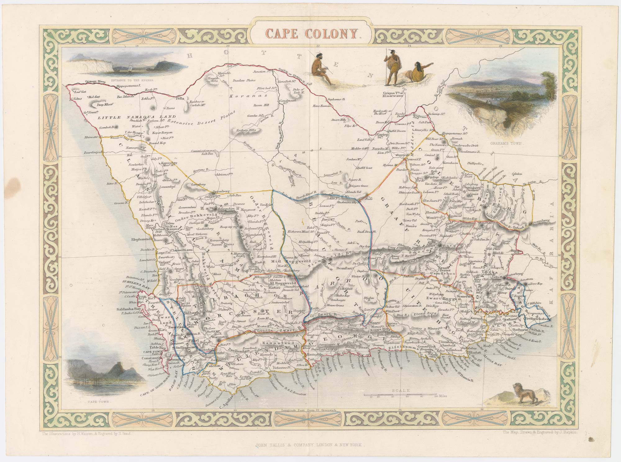


Map of Cape Colony with vignettes
Cape Colony.
London, John Tallis & Co., c.1851. Original colour with additions. Steel engraving, 260 x 325mm.
£150.00
Description
A map of Cape Colony, showing South Africa south of Orange River and west of Bathurst, with vignettes including Cape Town and Grahamstown.
The map was drawn and engraved by John Rapkin for the 'The Illustrated Atlas, and Modern History of the World, Geographical Political, Commercial & Statistical', edited by Montgomery Martin, which was one of the last decorative atlases to be published.
Condition:
A good example.Related products
-

The Dutch Fort at Capetown
BELLIN, Jacques-Nicolas. Date: 1748Stock #: 21999 £160.00 -

A mid-19th century view of Cape Town
DEROY, Isidore Laurent. Date: 1850Stock #: 24824 £950.00 -
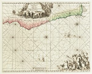
Sea chart of south west Africa
DE WIT, Frederick. Date: 1715Stock #: 11340 £650.00 -
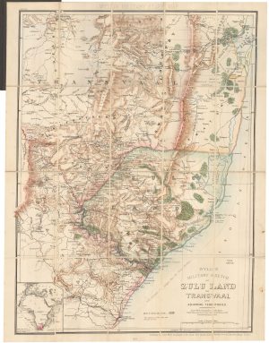
A contemporary military folding map for the Anglo-Zulu War of 1879.
WYLD, James. Date: 1879Stock #: 22989 £650.00 -
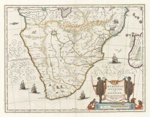
17th century map of Southern Africa
BLAEU, Willem Janszoon. Date: 1665Stock #: 17998 £765.00 -
A 16th century map of Southern Africa
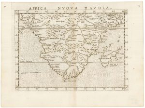
RUSCELLI, Girolamo. Date: 1557Stock #: 22243 £350.00 -

One of the earliest maps to depict the Cape of Good Hope
DE BRY, Theodore. Date: 1612Stock #: 22976 £400.00 -

Cape of Good Hope naval prospect
AA, Pieter van der. Date: 1719Stock #: 24077 £400.00 -

A decorative map of South Africa
BRION DE LA TOUR, Louis. Date: 1786Stock #: 19597 £165.00
Items by the same author
Add to Wishlist
Add to Wishlist

Mid 19th century map of Ireland with decorative vignettes
TALLIS, John. Date: 1851 Stock #: 21568 £240.00
Add to Wishlist
Add to Wishlist

A mid-19th century map of Germany with decorative vignettes
TALLIS, John. Date: 1851 Stock #: 23486 £120.00
Add to Wishlist
Add to Wishlist

Map of France with vignette scenes
TALLIS, John. Date: 1851 Stock #: 17766 £100.00
Add to Wishlist
Add to Wishlist

London during the Great Exhibition of 1851
TALLIS, John. Date: 1851 Stock #: 25662 £2,400.00
Add to Wishlist
Add to Wishlist

Mid 19th century map of Greece with decorative vignettes
TALLIS, John. Date: 1851 Stock #: 23523 £140.00
Add to Wishlist
Add to Wishlist
