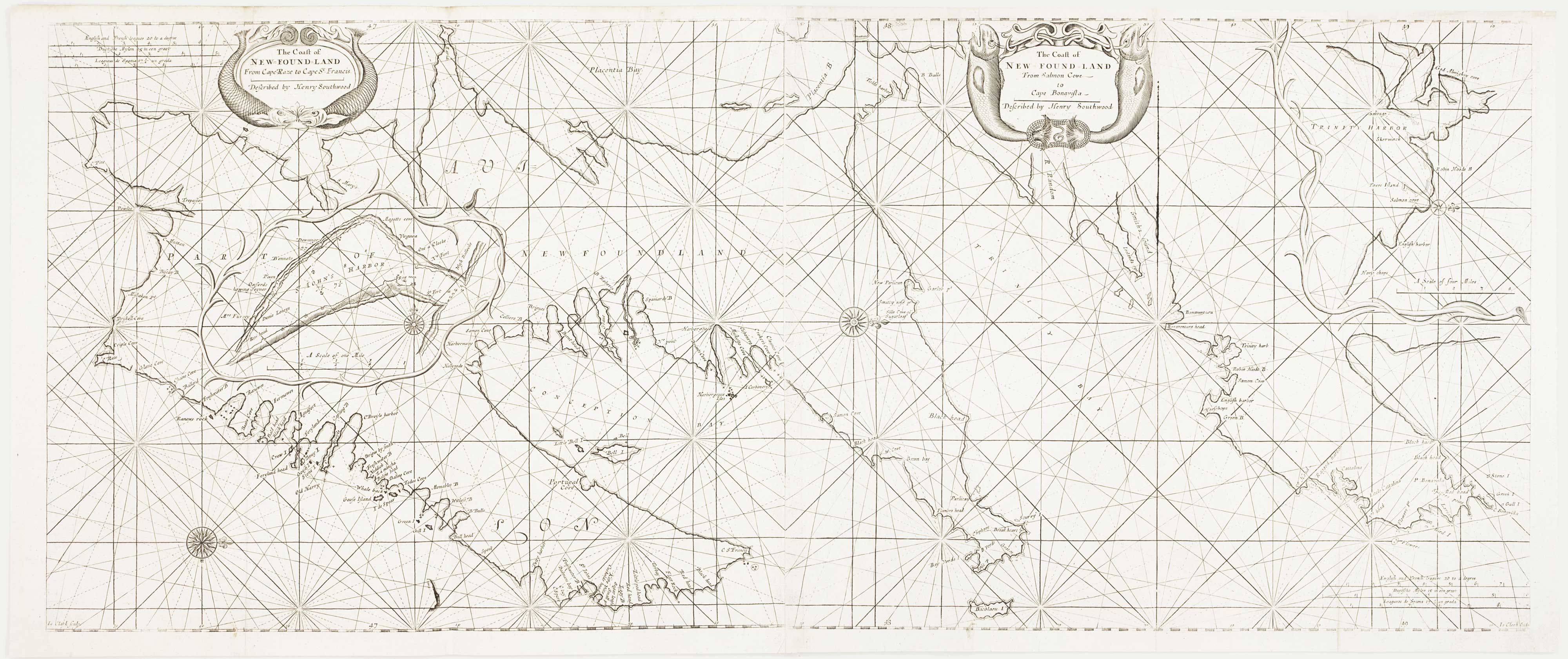


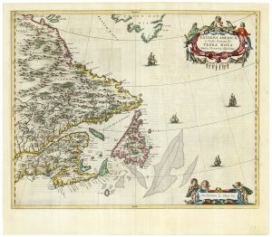
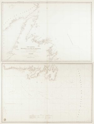
An early English chart of the east coast of Newfoundland on two sheets
The Coast of New Found Land From Cape-Raze to Cape St-Francis. The Coast of New Found Land From Salmon Cove to Cape Bonavista.
London: W. & J. Mount and T. Page, 1748. Two sheets conjoined, total 430 x 1030mm.
£900.00
1 in stock
x
Question About This Item?
An early English chart of the east coast of Newfoundland on two sheets & SOUTHWOOD, Henry.Stock #: 15528
Add to Wishlist
Export as PDFEnquireSimilar to Sell?Add to Wishlist
Description
The east coast of Newfoundland from Bonavista south to Trepassy, orientated with north to the right. Insets show St John's Harbour and Trinity Harbour.
The chart was engraved by James Clark and first published in John Thornton's 'Atlas Maritimus' in 1676. This example was published in an edition of Mount & Page's 'The English Pilot. The Fourth Book Describing The West India Navigation... Also, a New Description of Newfoundland, New-England, New-York, East and West New Jersey, Dellevar-Bay, Virginia, Maryland, and Carolina'. This was the first sea atlas of America containing charts only from English sources.
Condition:
A good example.References:
KERSHAW: 240 & 242.Related products
-
A detailed plan of Quebec
ANDREWS, John. Date: 1798Stock #: 22463 £160.00 -
An 18th century ‘vue d’optique’ of Quebec
LEIZELT, Balthasar Frederick. Date: 1775Stock #: 24523 £750.00 -
A 17th century map of Cape Breton Island
CORONELLI, Vincenzo Maria. Date: 1696Stock #: 21640 £160.00 -
18th century map of Hudson Bay
ZATTA, Antonio. Date: 1778Stock #: 19023 £220.00 -
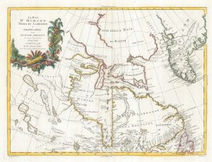
A map of Newfoundland according to the Treaty of Utrecht
MOLL, Herman. Date: 1732Stock #: 25654 £400.00 -
A scarce 17th century map of Newfoundland and Nova Scotia
BLAEU, Johannes. Date: 1662Stock #: 22716 £1,500.00 -
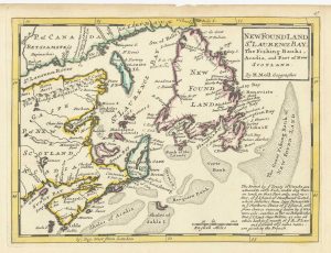
An early English chart of northern Canada with Hudson Bay
THORNTON, John. Date: 1748Stock #: 15550 £300.00 -

A French edition of an important map of the St Lawrence valley
CARVER, Jonathan. Date: 1777Stock #: 23477 £1,600.00 -
A scarce Spanish chart of Newfoundland
MORENO, Miguel. Date: 1860Stock #: 11852 £1,200.00