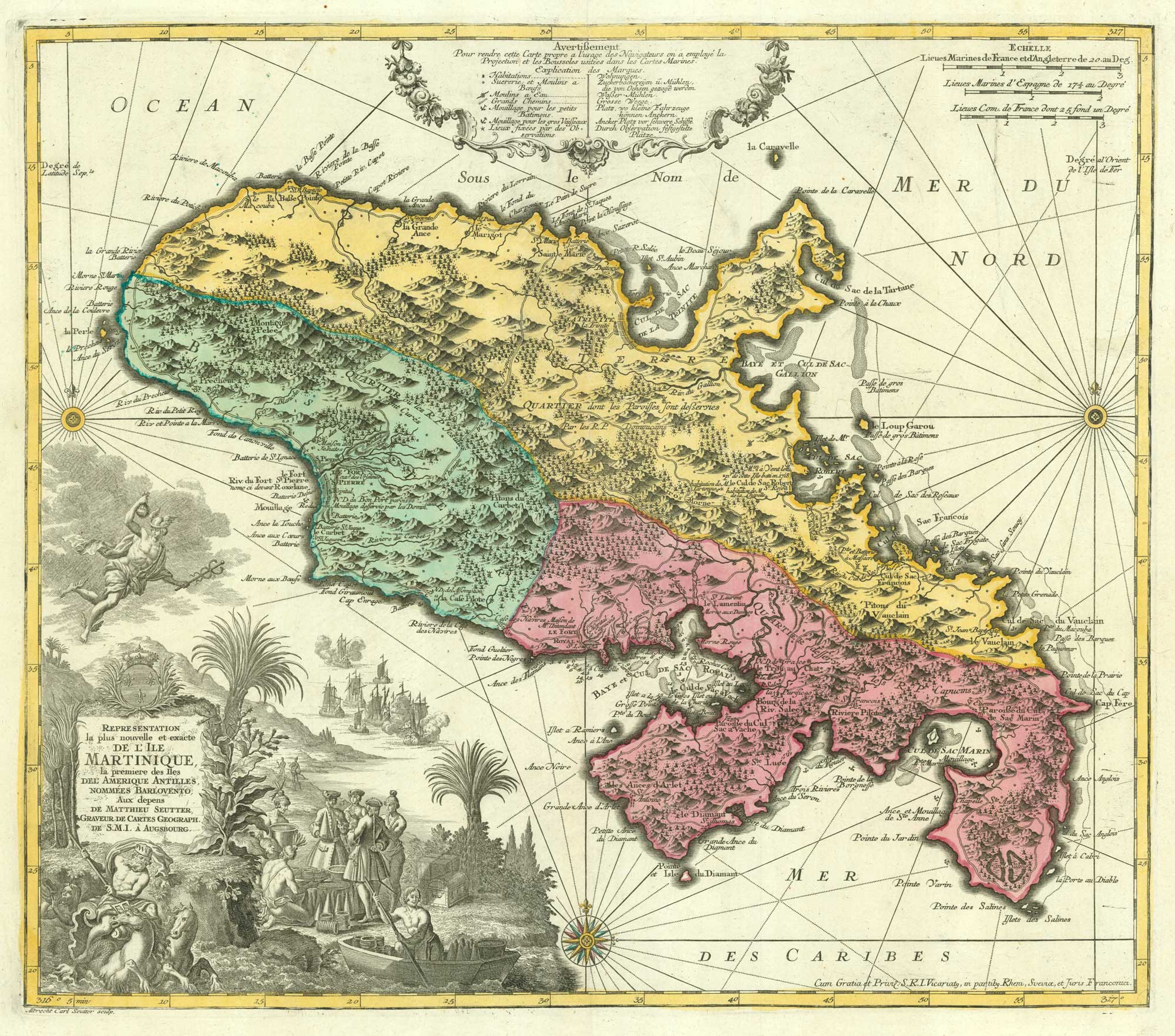


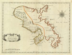
18th century map of Martinique in fine colour
Representation la plus nouvelle et exacte de l'Ile Martinique, la premier des Iles del' Amerique Antilles, nommées Barlovento.
Augsburg, c.1730. Original colour. 490 x 560mm.
£550.00
1 in stock
x
Question About This Item?
18th century map of Martinique in fine colour & SEUTTER, Matthaus.Stock #: 19343
Add to Wishlist
Export as PDFEnquireSimilar to Sell?Add to Wishlist
Description
A large map of Martinique, with an ornate title cartouche featuring figures of Mercury and Neptune as well as Europeans trading with friendly natives. The island is divided into three 'Quartiers', with religious control given to the Dominicans, Jesuits and Capuchins.
Condition:
A good example.Related products
-
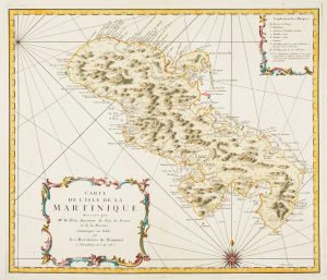
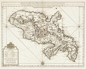
Detailed map of Martinique published during the Seven Years’ War
BELLIN, Jacques-Nicolas. Date: 1762Stock #: 14635 £600.00 -
Early 18th century map of Martinique
FER, Nicolas de. Date: 1704Stock #: 18419 £250.00 -
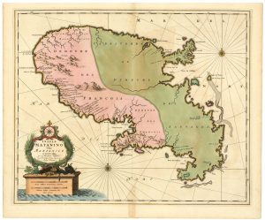
A scarce 17th century French map of Martinique
MARIETTE, Pierre. Date: 1650Stock #: 21841 £400.00 -
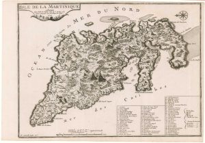
18th century map of Martinique
COVENS & MORTIER. Date: 1740Stock #: 12311 £650.00 -
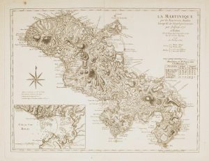
Map of 18th-century Martinique
JEFFERYS, Thomas. Date: 1779Stock #: 12317 £550.00 -
17th century map of Martinique in fine colour
VISSCHER, Nicolas Jansz. Date: 1657Stock #: 24747 £600.00
Items by the same author
Add to Wishlist
Add to Wishlist

The Far East, with an elaborate title cartouche
SEUTTER, Matthaus. Date: 1741 Stock #: 18156 £1,400.00
Add to Wishlist
Add to Wishlist

A 18th century plan of Regensburg
SEUTTER, Matthaus. Date: 1730 Stock #: 25104 £600.00
Add to Wishlist
Add to Wishlist
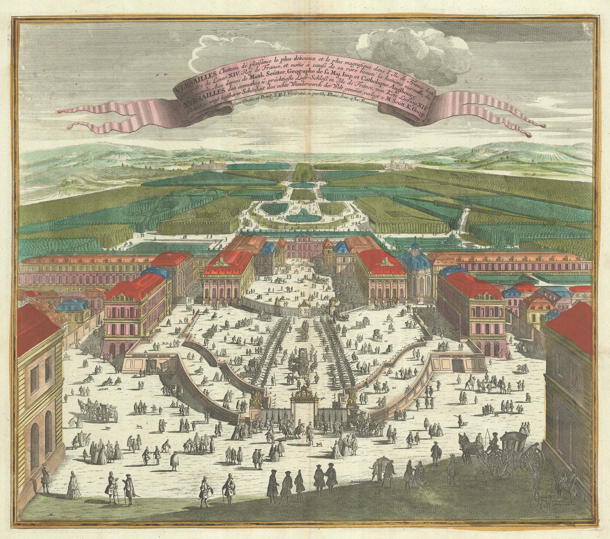
A bird's-eye view of Louis XIV's court at Versailles
SEUTTER, Matthaus. Date: 1735 Stock #: 23735 £700.00
Add to Wishlist
Add to Wishlist
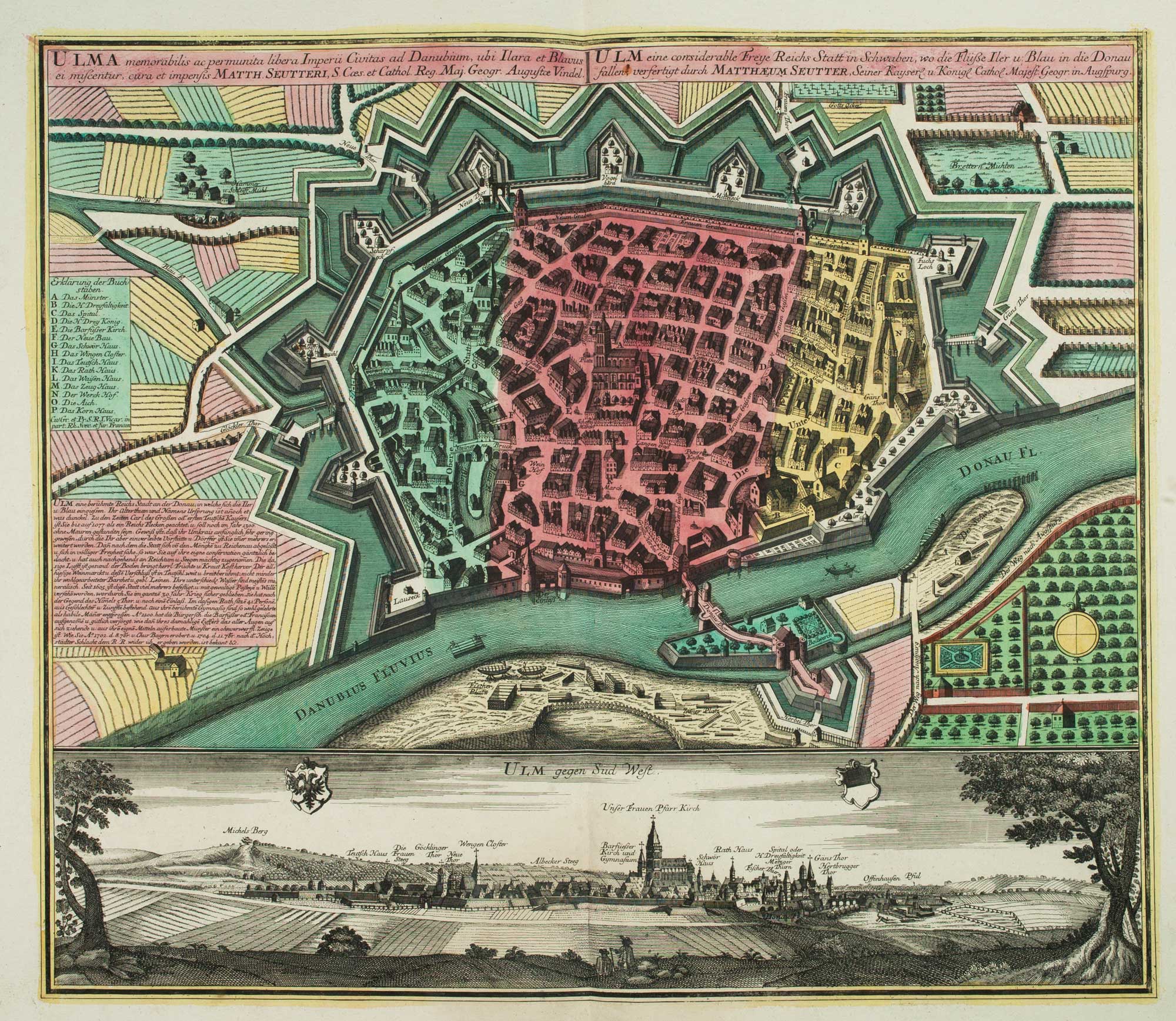
18th century town plan of Ulm
SEUTTER, Matthaus. Date: 1741 Stock #: 9406 £550.00
Add to Wishlist
Add to Wishlist
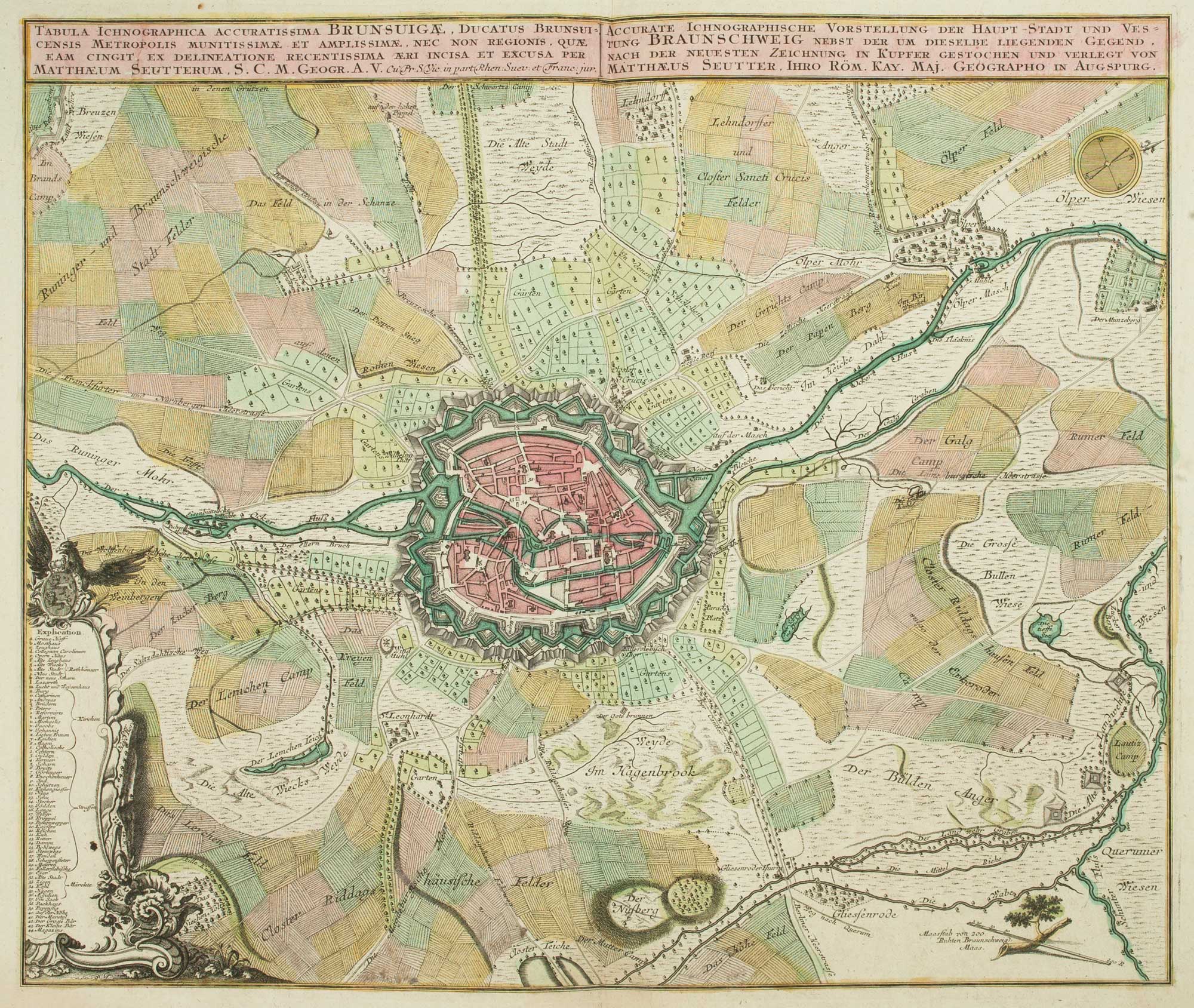
18th century map of Brunswick and its environs
SEUTTER, Matthaus. Date: 1735 Stock #: 9404 £260.00
Add to Wishlist
Add to Wishlist