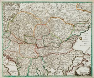
An 18th century map of Hungary and the northern Balkans
Nova et Accuratissima Hungariae cum curcumjacentibus Regnis et Principatibus...
Augsburg, c.1740. Original outline colour. 505 x 580mm.
£380.00
1 in stock
x
Question About This Item?
An 18th century map of Hungary and the northern Balkans & SEUTTER, Matthaus.Stock #: 22732
Add to Wishlist
Export as PDFEnquireSimilar to Sell?Add to Wishlist
Description
A detailed map of Hungary, with Dalmatia, Croatia, Bosnia, Serbia and Transilvania. The large title cartouche features a portrait of Charles III, an allegorical figure of the Danube and cherubs holding the armorials of the Balkan states. The scale cartouche has references to hunting, wine, fishing and baking.
Condition:
A good example.Related products
-
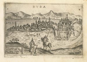
A 16th century Italian plan of Buda
VALEGIO, Francesco. Date: 1598Stock #: 24150 £600.00 -
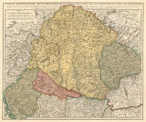
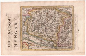
Early 18th century map of Hungary, with Transilvania, Croatia and Slovenia
SCHENK, Pieter. Date: 1717Stock #: 17948 £300.00 -
Uncommon early 18th century map of Hungary
BODENEHR, Gabriel. Date: 1730Stock #: 16891 £950.00 -
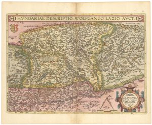
Ortelius’s map of Hungary in fine original colour
ORTELIUS, Abraham. Date: 1603Stock #: 23806 £600.00 -
Hungary from the first English Edition of the ‘Atlas Minor’
HONDIUS, Jodocus. Date: 1635Stock #: 22392 £170.00 -
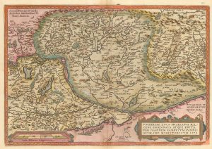
Ortelius’s map of Hungary in fine colour
ORTELIUS, Abraham. Date: 1612Stock #: 23811 £650.00 -
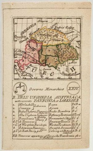
An 18th century playing-card map of Hungary
RABATTA, Augusto & BAILOU, Jean Baptist de. Date: 1779Stock #: 13003 £380.00 -
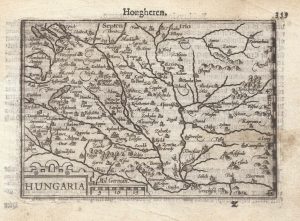
A 16th century miniature map of Hungary
LANGENES, Barent. Date: 1599Stock #: 21310 £110.00 -
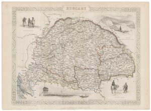
A mid 19th century map of Hungary with decorative vignettes
TALLIS, John. Date: 1851Stock #: 21625 £125.00
Items by the same author
Add to Wishlist
Add to Wishlist

The Far East, with an elaborate title cartouche
SEUTTER, Matthaus. Date: 1741 Stock #: 18156 £1,400.00
Add to Wishlist
Add to Wishlist

A 18th century plan of Regensburg
SEUTTER, Matthaus. Date: 1730 Stock #: 25104 £600.00
Add to Wishlist
Add to Wishlist
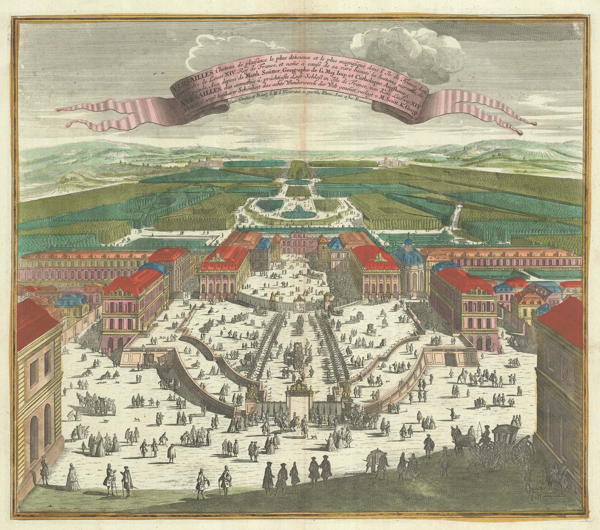
A bird's-eye view of Louis XIV's court at Versailles
SEUTTER, Matthaus. Date: 1735 Stock #: 23735 £700.00
Add to Wishlist
Add to Wishlist
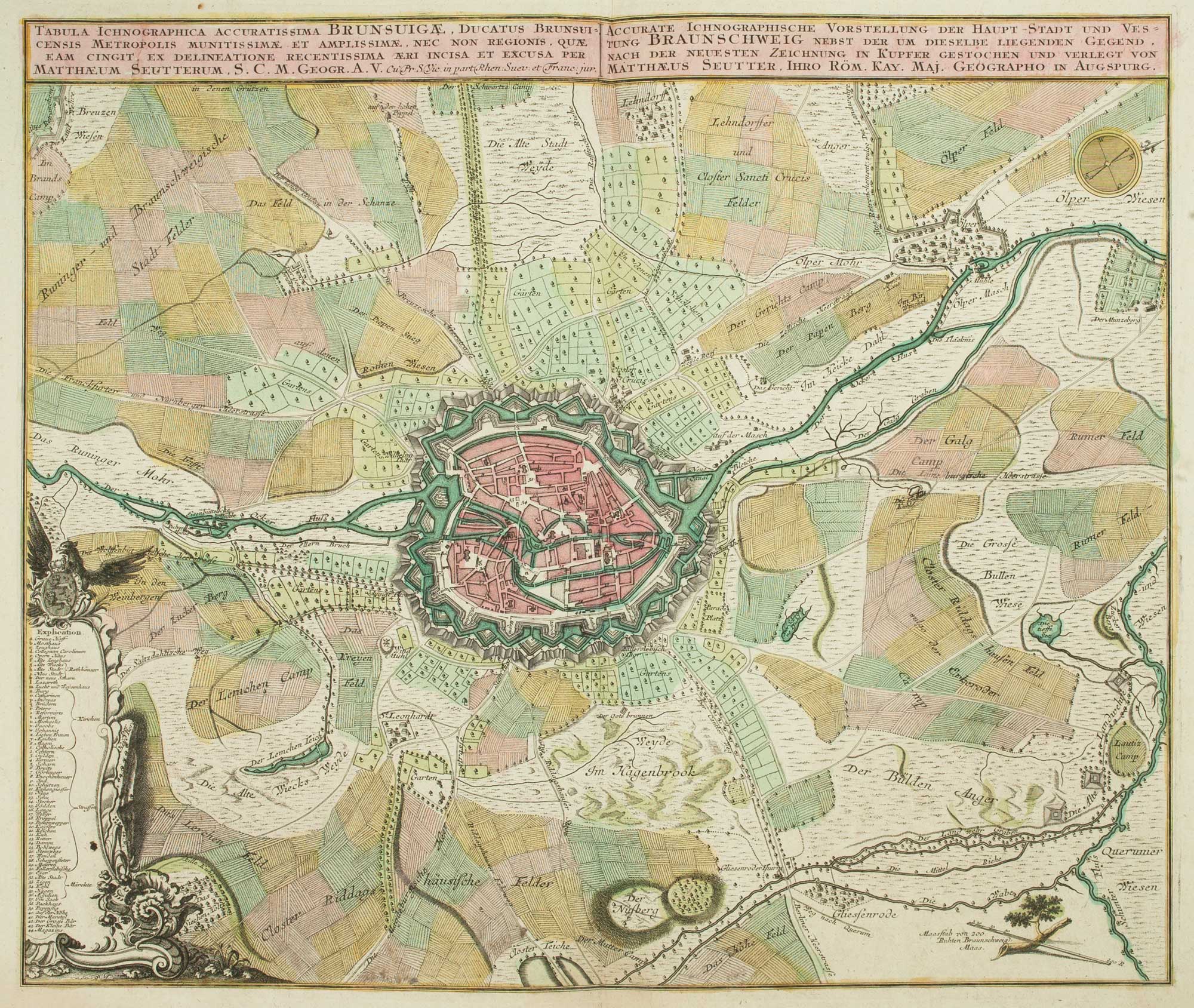
18th century map of Brunswick and its environs
SEUTTER, Matthaus. Date: 1735 Stock #: 9404 £260.00
Add to Wishlist
Add to Wishlist
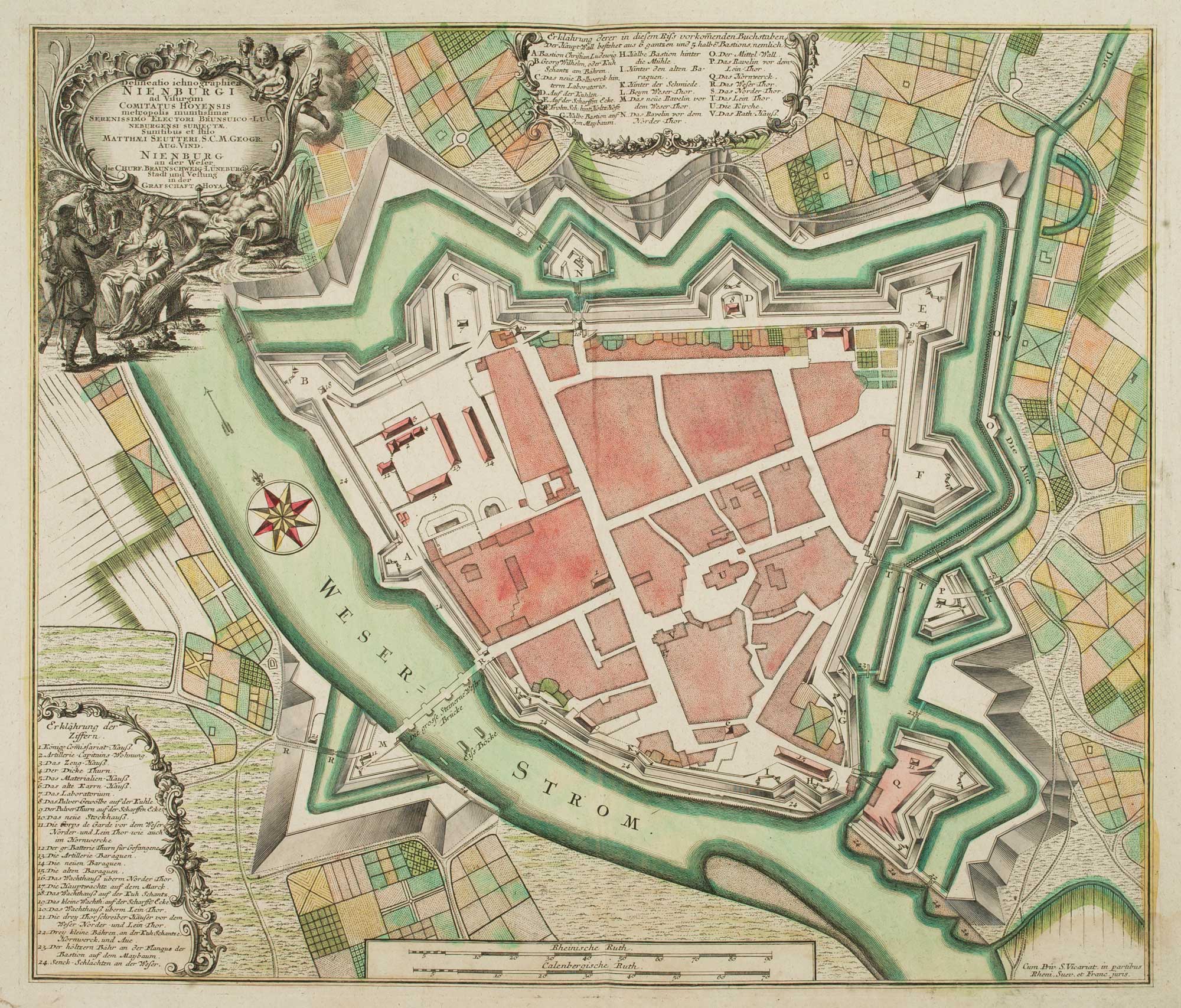
18th century town plan of Nienburg
SEUTTER, Matthaus. Date: 1741 Stock #: 9316 £350.00
Add to Wishlist
Add to Wishlist