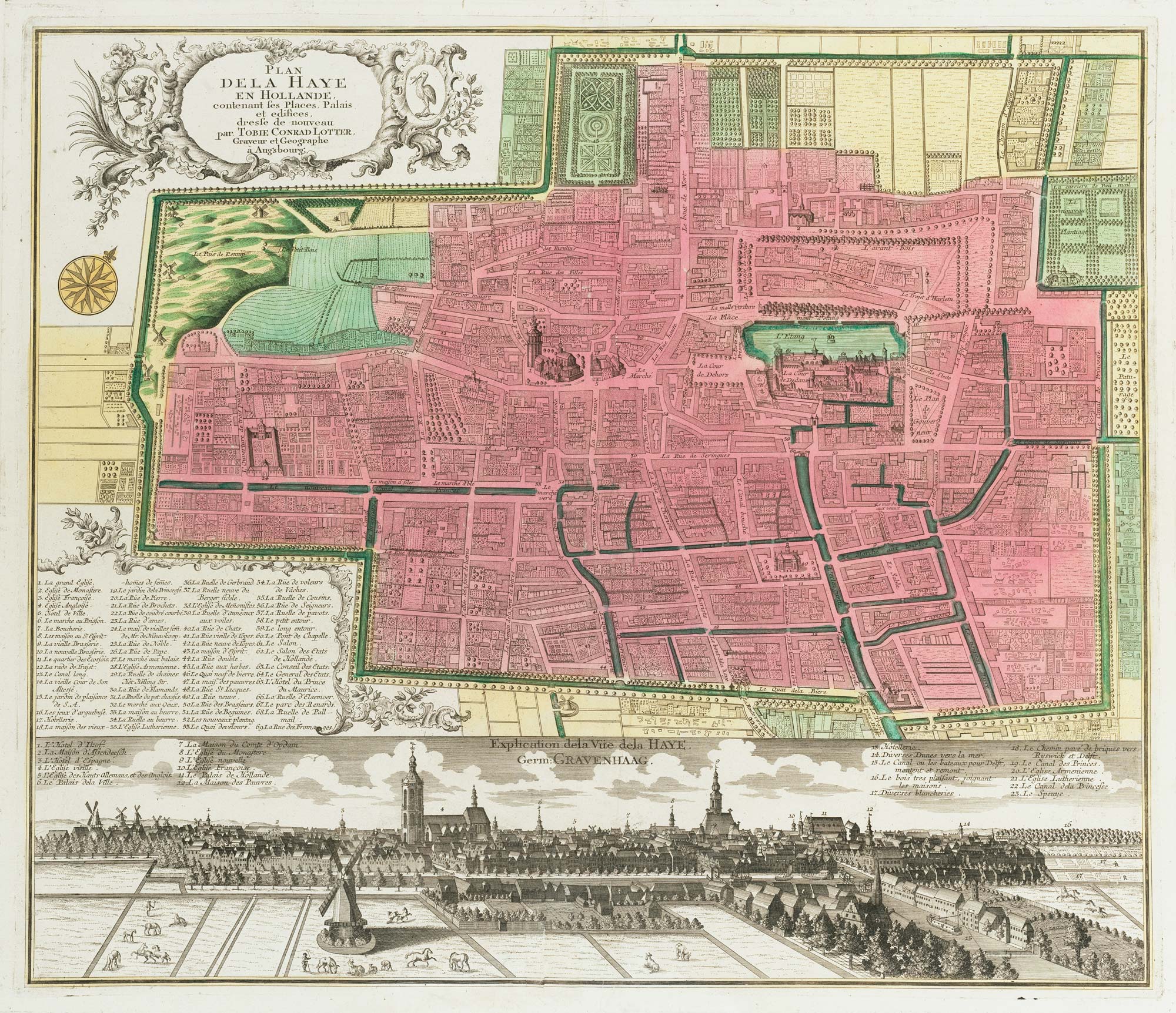


18th century town plan of the Hague
Plan de la Haye en Hollande....
Amsterdam, Tobias Lotter, c.1760. Fine original colour. 500 x 590mm
£1,300.00
Description
Detailed map of the Hague ('s-Gravenhage or Den Haag), with an extensive key and a prospect of the city underneath. Originally published by Seutter, this example was published by Lotter after he inherited half his father-in-law's firm in 1758.
Condition:
Repair at bottom centre fold.Related products
-
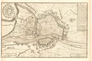
A scarce plan of the defences of Maastricht
BEAURAIN, Jean de. Date: 1760Stock #: 20557 £480.00 -
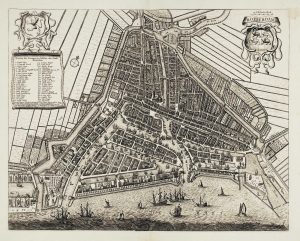
A 17th century town plan of Rotterdam
JANSSON, Jan. Date: 1698Stock #: 22687 £980.00 -
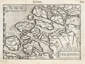
A 16th century miniature map of Zeeland
LANGENES, Barent. Date: 1599Stock #: 21159 £70.00 -
The Netherlands during the Anglo-Dutch War of 1672
DU VAL, Pierre. Date: 1672Stock #: 20503 £900.00 -
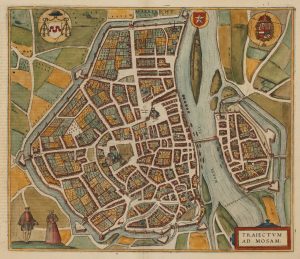
A 16th century town plan of Maastricht
BRAUN, Georg & HOGENBERG, Frans. Date: 1581Stock #: 22692 £600.00 -
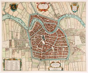
17th century townplan of Haarlem
BLAEU, Johannes. Date: 1649Stock #: 22683 £750.00 -
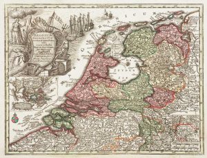
Holland with an Inset of its colonies in the East Indies
SEUTTER, Matthaus. Date: 1744Stock #: 11407 £280.00 -
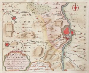
The environs of Maastricht and the Battle of Lauffeldt
JEFFERYS, Thomas. Date: 1747Stock #: 21641 £140.00 -
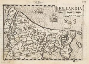
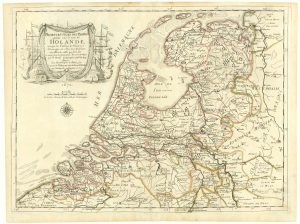
A 16th century miniature map of Holland
LANGENES, Barent. Date: 1599Stock #: 21158 £85.00
Items by the same author
Add to Wishlist
Add to Wishlist

The Far East, with an elaborate title cartouche
SEUTTER, Matthaus. Date: 1741 Stock #: 18156 £1,400.00
Add to Wishlist
Add to Wishlist

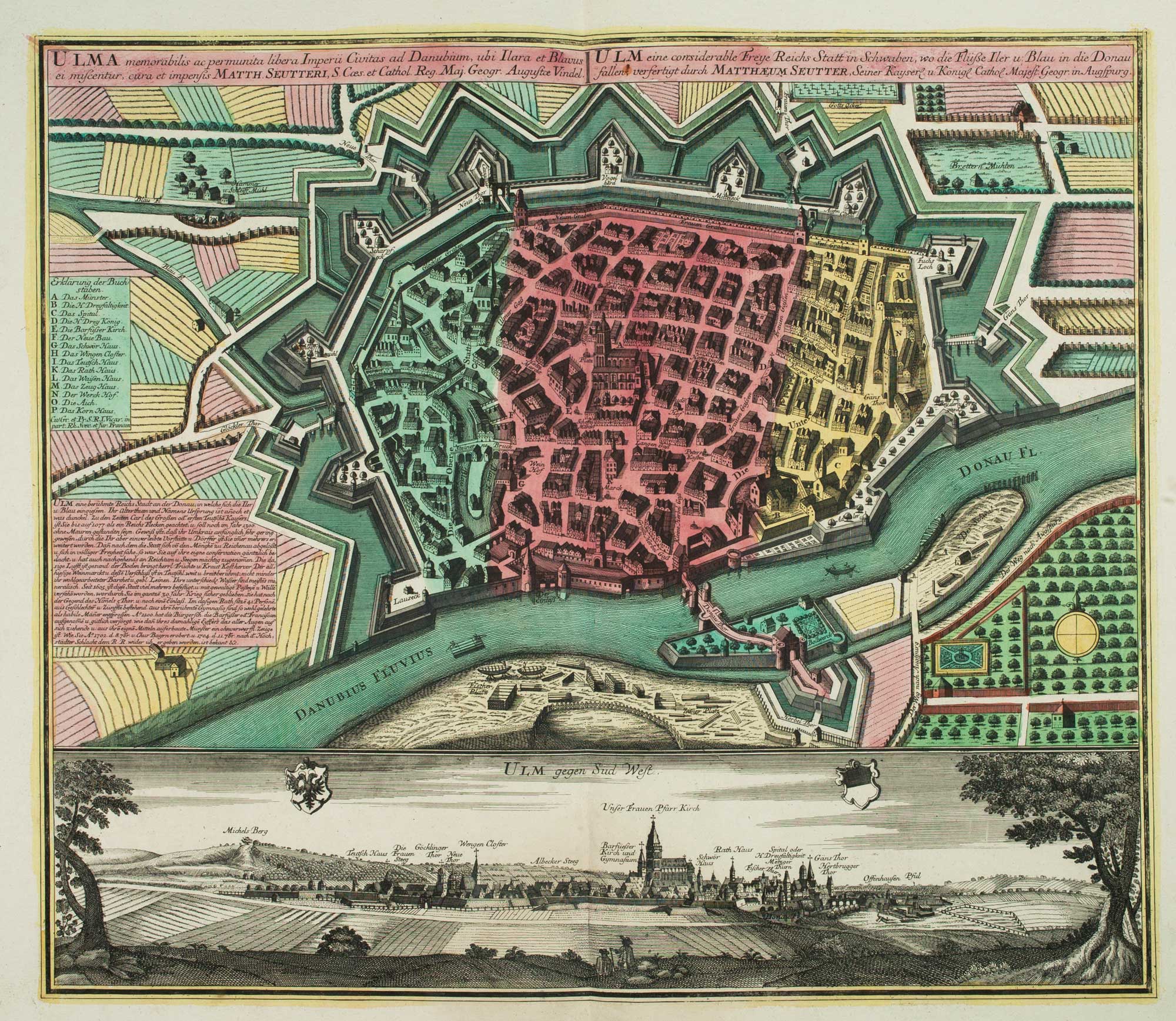
A 18th century plan of Regensburg
SEUTTER, Matthaus. Date: 1730 Stock #: 25104 £600.00
Add to Wishlist
Add to Wishlist
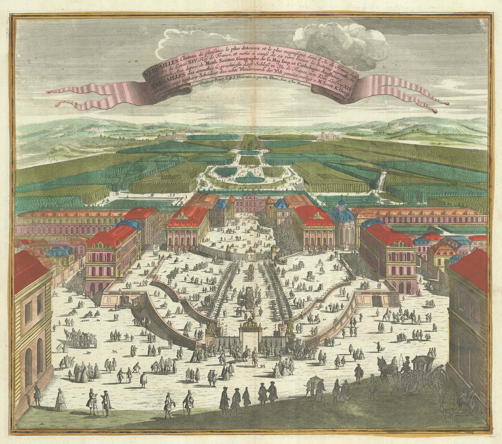
A bird's-eye view of Louis XIV's court at Versailles
SEUTTER, Matthaus. Date: 1735 Stock #: 23735 £700.00
Add to Wishlist
Add to Wishlist
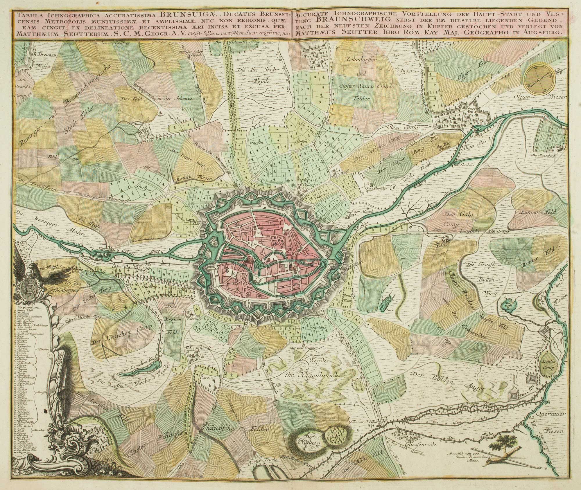
18th century map of Brunswick and its environs
SEUTTER, Matthaus. Date: 1735 Stock #: 9404 £260.00
Add to Wishlist
Add to Wishlist
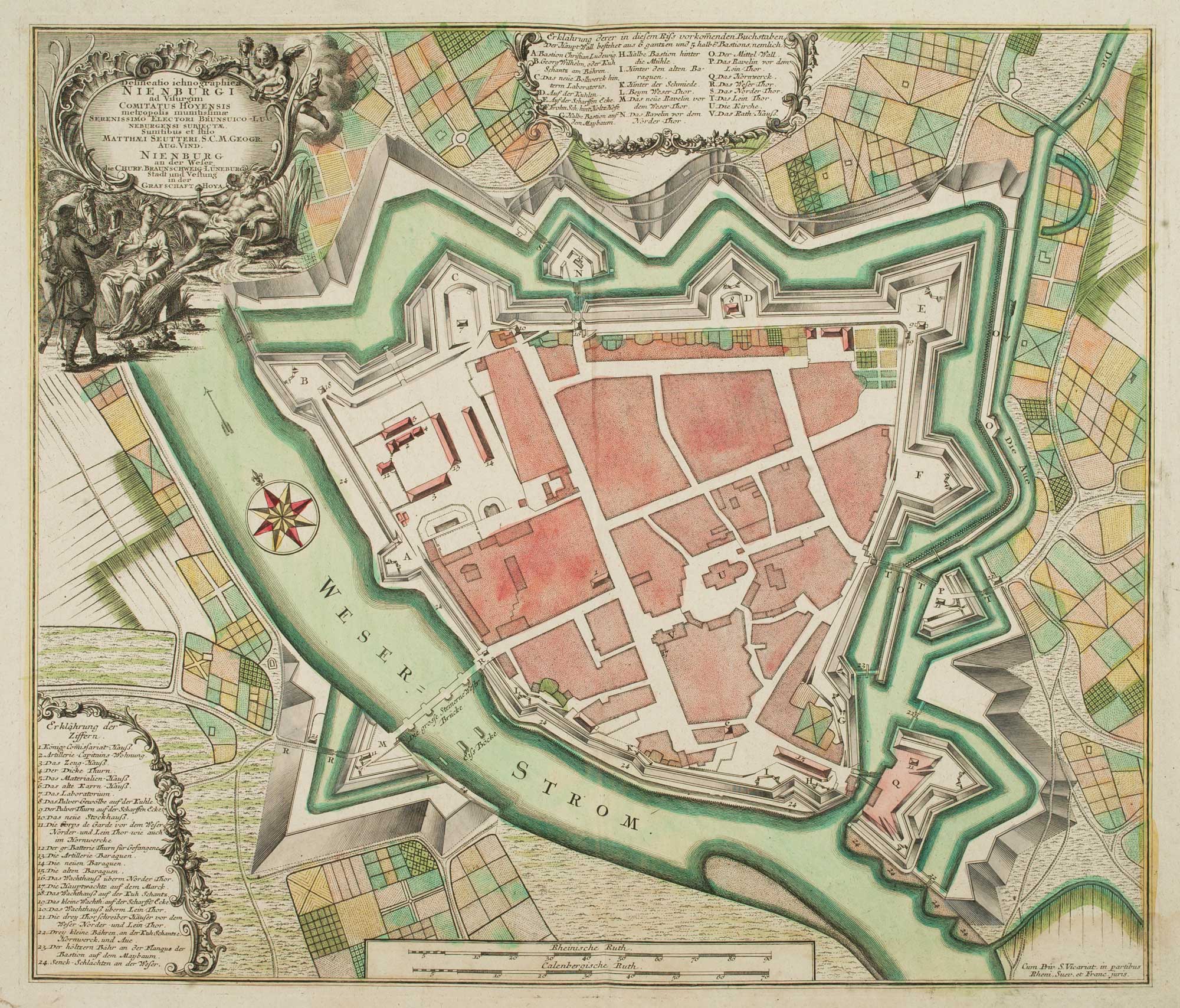
18th century town plan of Nienburg
SEUTTER, Matthaus. Date: 1741 Stock #: 9316 £350.00
Add to Wishlist
Add to Wishlist