
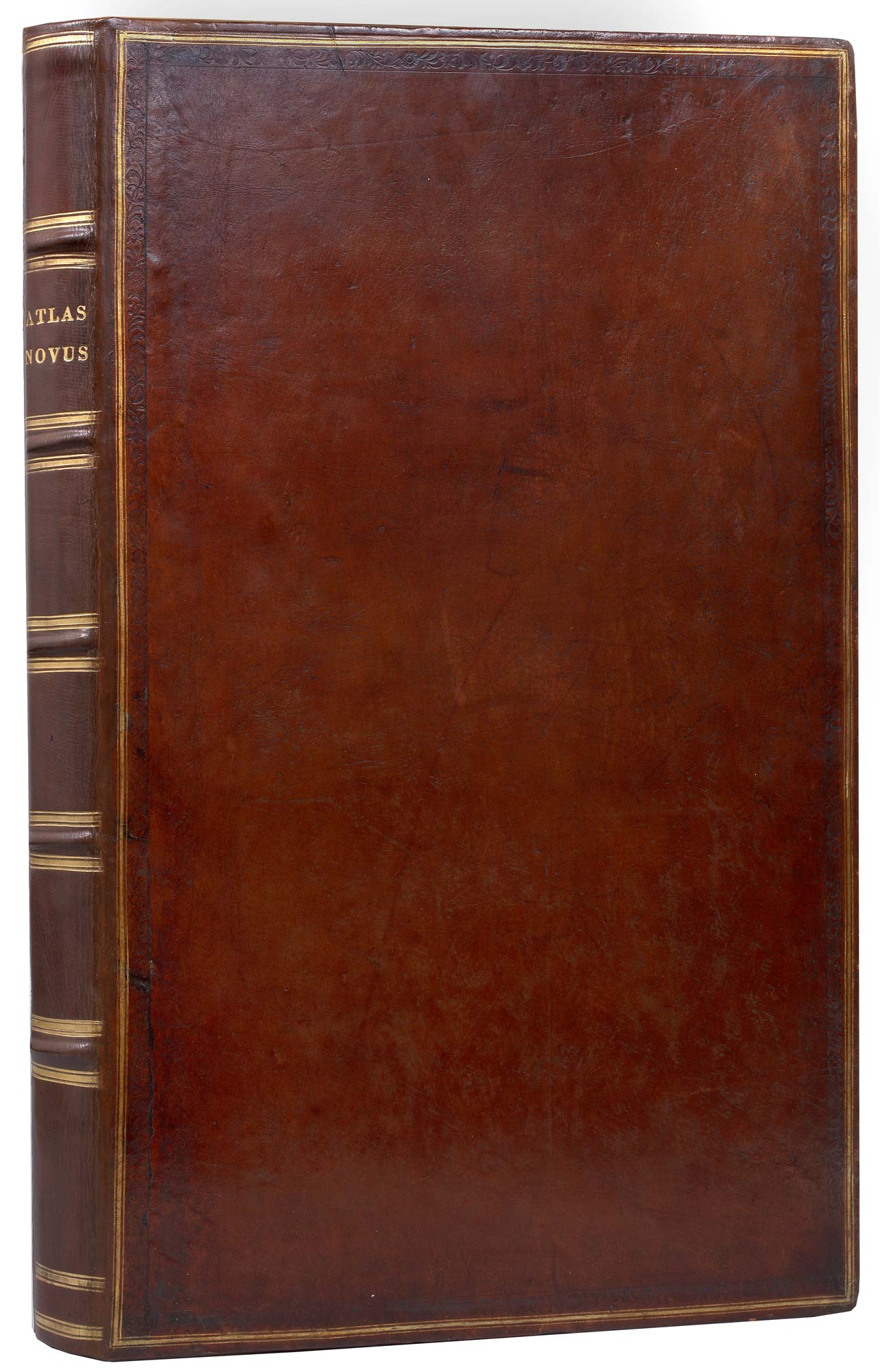

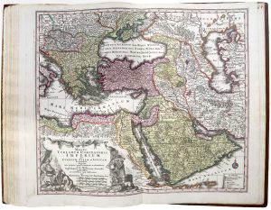

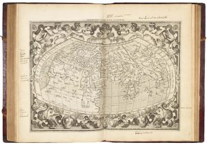
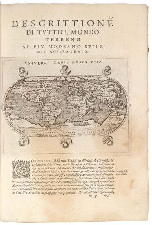
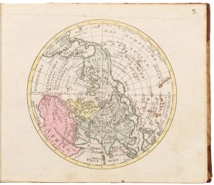
A fine example of Seutter’s ‘Atlas Novus’
Atlas Novus sive Talbulae Geographicae Totius Orbis Fasciem, Partes, Imperia, Regna et Provincias Exhibentes... Atlas Compendiosus.
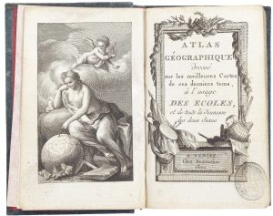
Augsburg, c.1731. Folio (560 x 360mm), rebound in full calf gilt; engraved title, letterpress title & index on label on reverse of engraved title, and 29 double-page maps, all in fine original hand colour, as called for.
£15,000.00
1 in stock
x
Question About This Item?
A fine example of Seutter’s ‘Atlas Novus’ & SEUTTER, Matthaus.Stock #: 25168
Add to Wishlist
Export as PDFEnquireSimilar to Sell?Add to Wishlist
Description
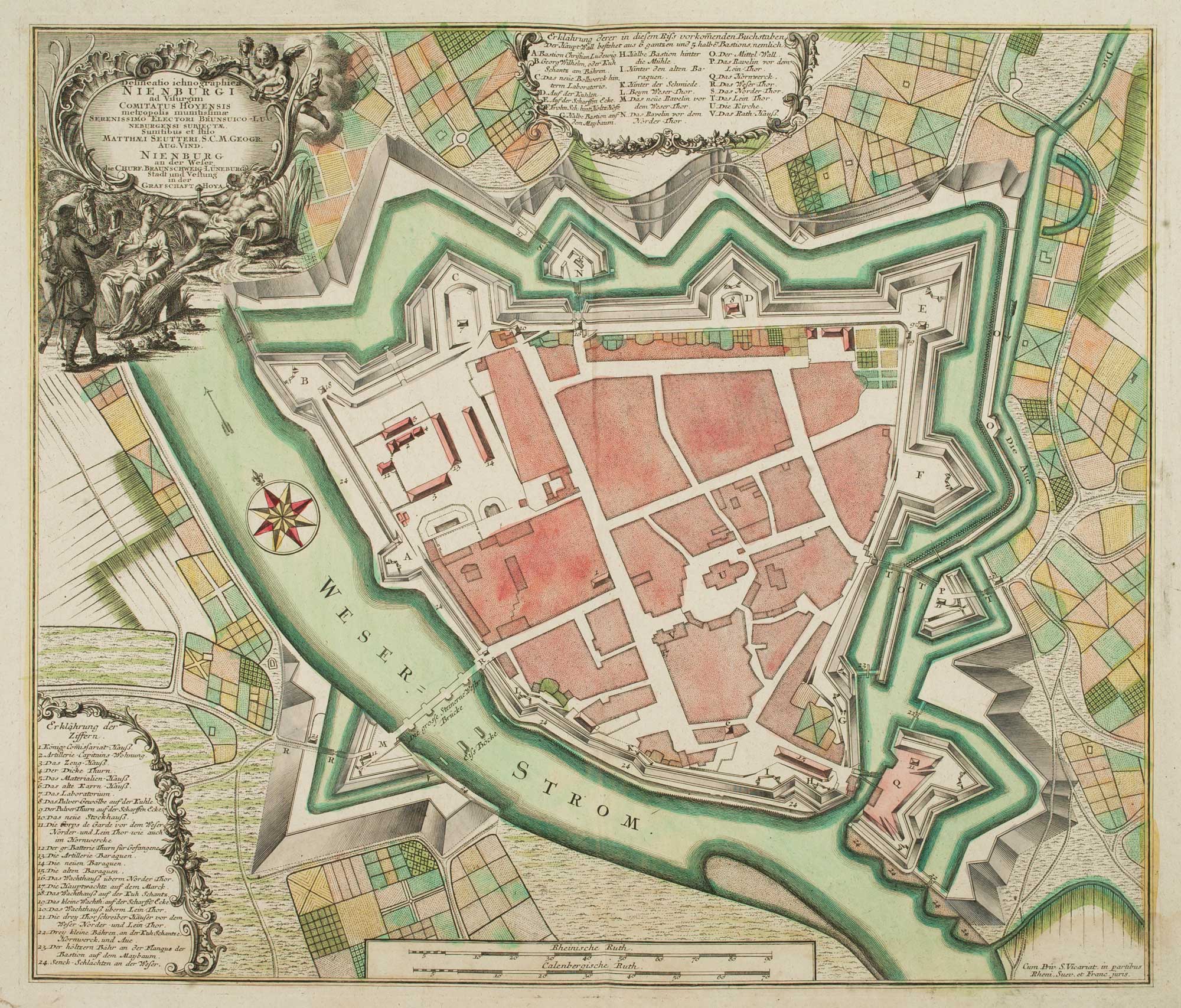
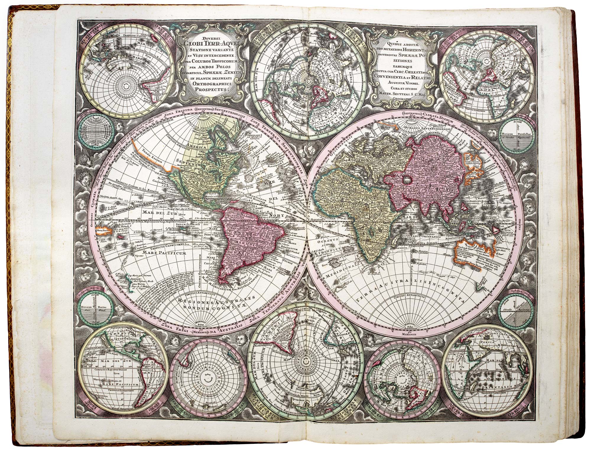
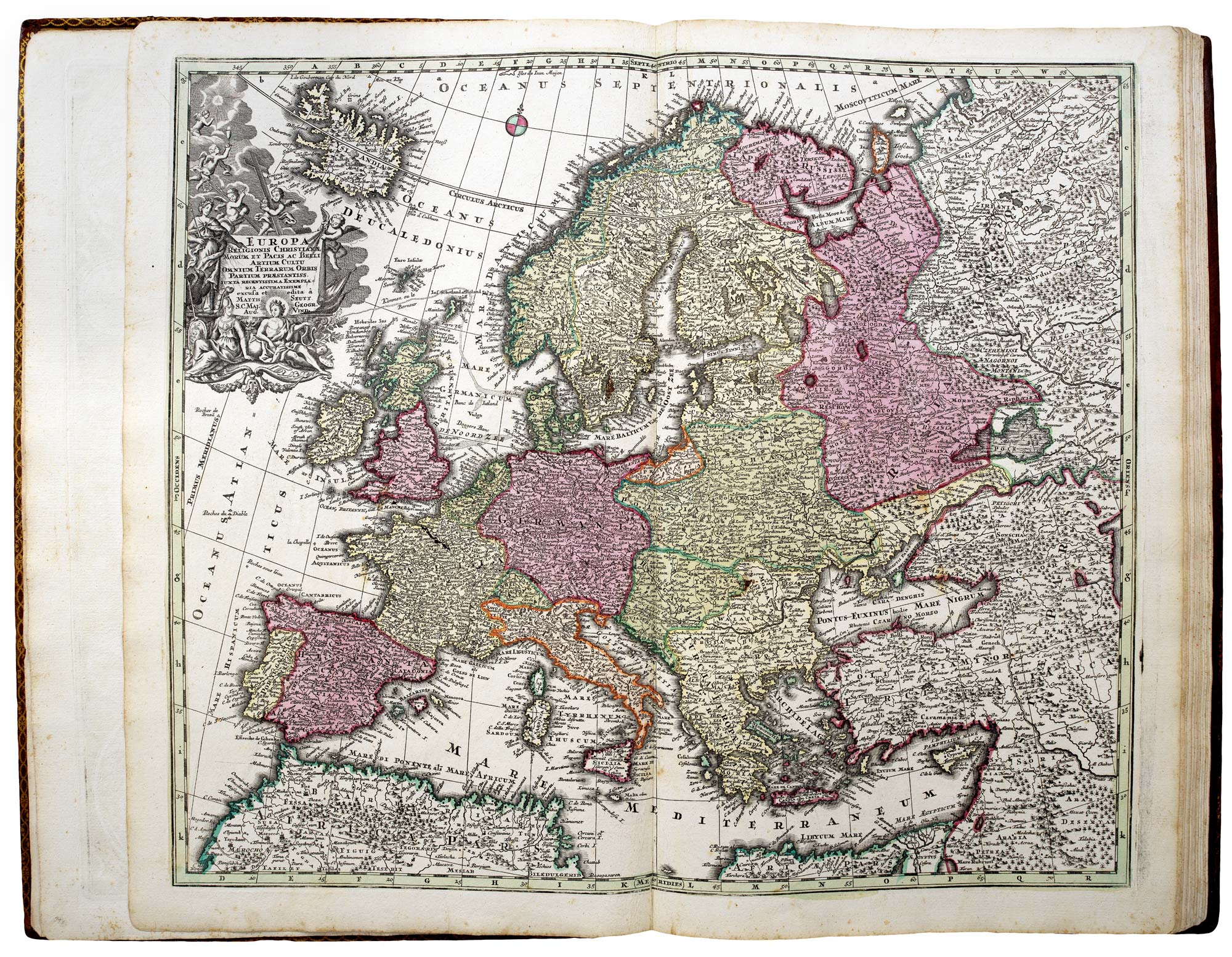
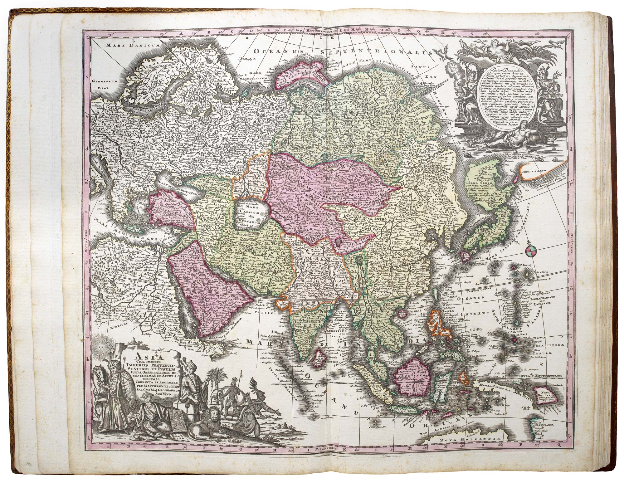
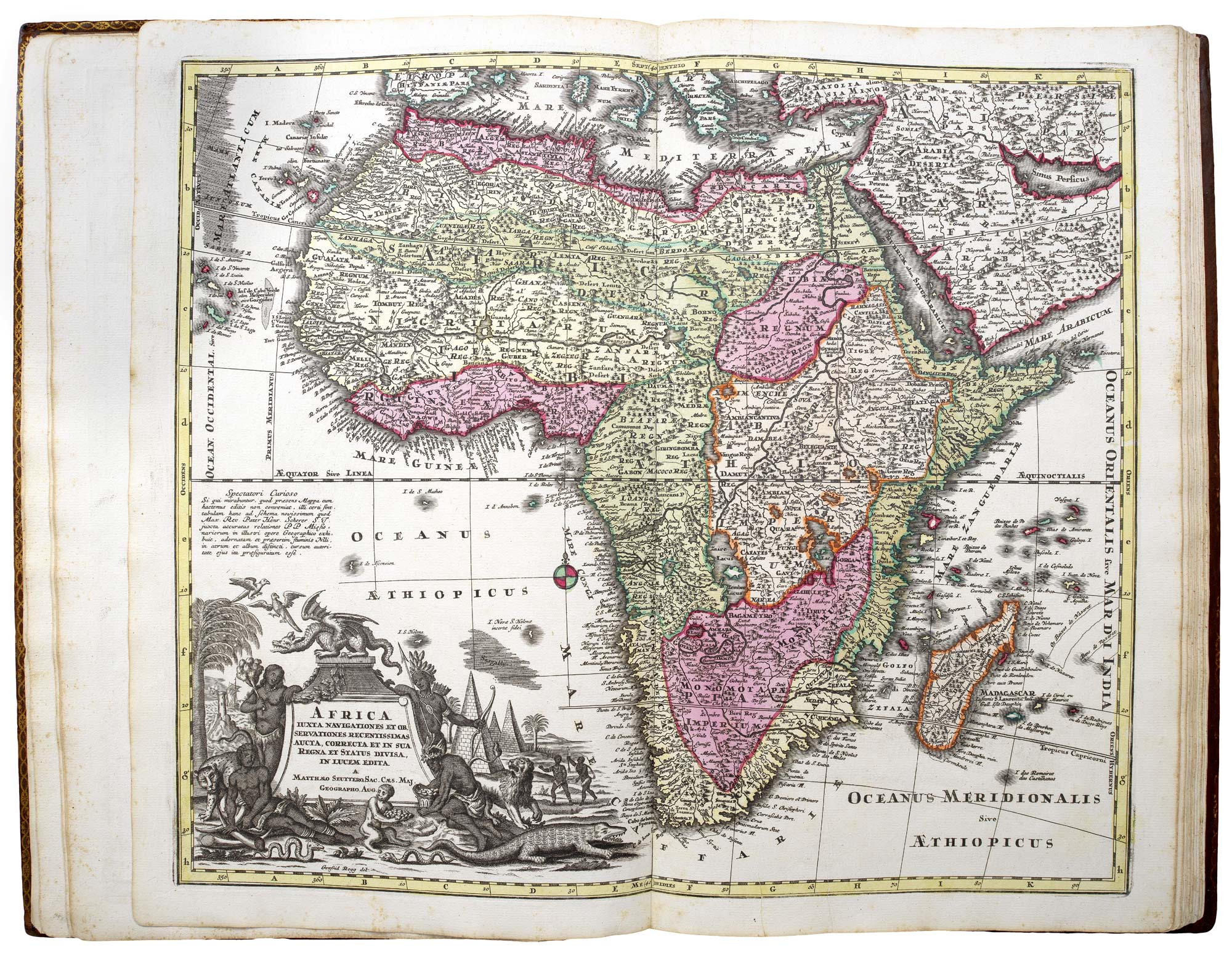
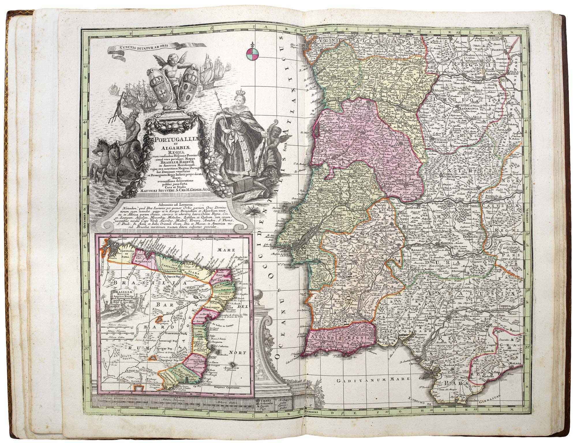
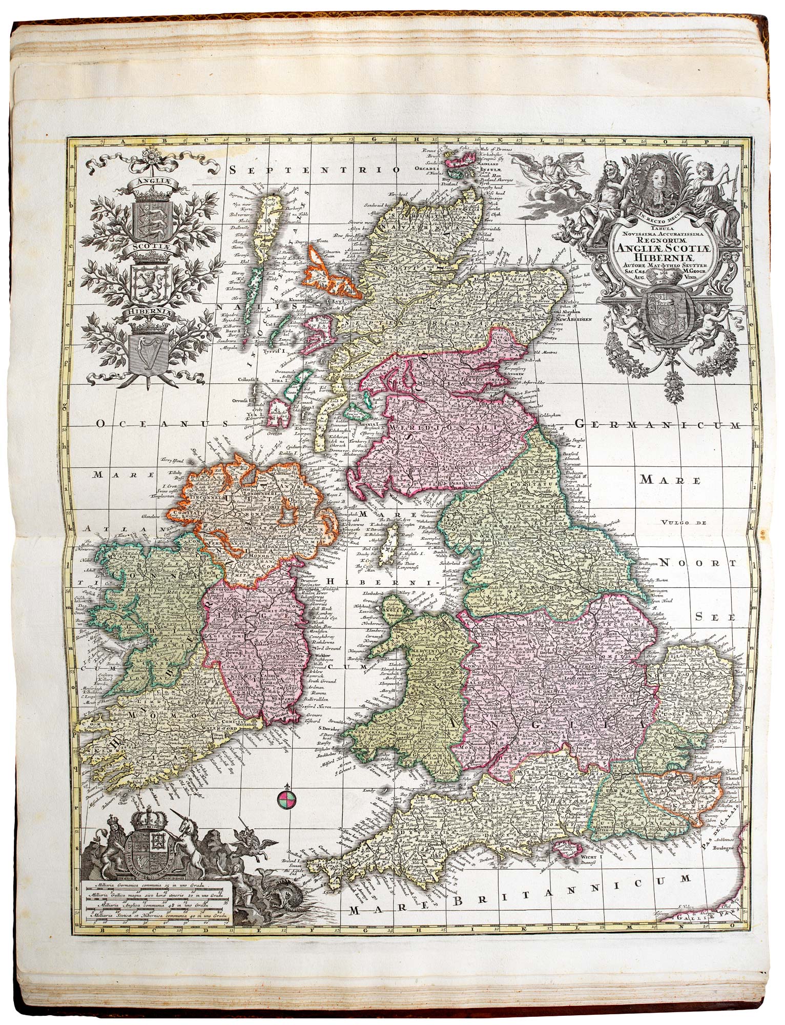
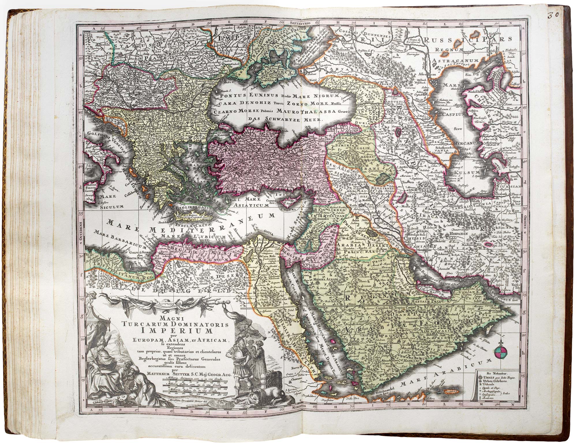
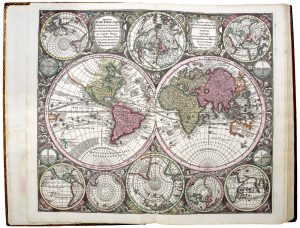
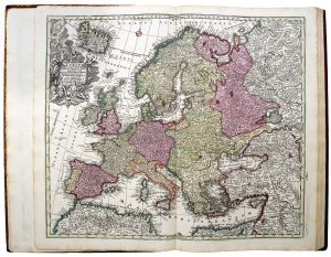
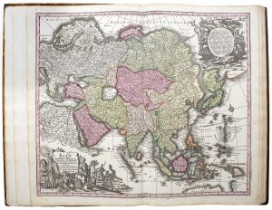
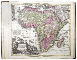
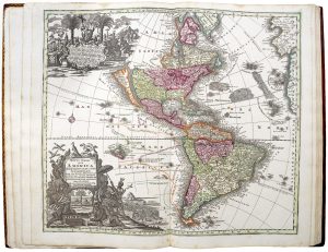
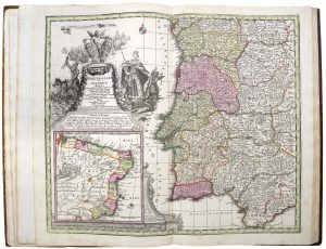
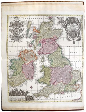
An early example of Seutter's atlas, published just after he was made Imperial Geographer by Karl VI in 1731. It contains a world map and four continents, the Turkish Empire, Holy Land, and 22 European countries.
The maps are early states, before the addition of Seutter's privilege. Good strong imprint and fine colouring throughout.
Condition:
Maps numbered in old ink mss on recto.Related products
-

The first Western atlas of China
BLAEU, Johannes. Date: 1655Stock #: 20044 £29,000.00 -
A very fine early 19th century miniature atlas
REMONDINI, Giuseppe Antonio. Date: 1801Stock #: 24527 £2,250.00 -

A magnificent example of the first folio sea atlas of the World
JANSSON, Jan. Date: 1650Stock #: 23074 £47,500.00 -
The rare first issue of an important American atlas in fine original colour
TANNER, Henry Schenck. Date: 1836Stock #: 22905 £11,000.00 -
The atlas volume from Humboldt’s important description of New Spain
HUMBOLDT, Alexander von. Date: 1812Stock #: 23007 £32,500.00 -

A pocket atlas of England and Wales
WALLIS, James. Date: 1819Stock #: 20636 £750.00 -
The first Hondius issue of Mercator’s edition of Ptolemy’s Geography
PTOLEMY, Claudius. Date: 1605Stock #: 22505 £18,000.00 -
Magini’s edition of Ptolemy’s Geography
MAGINI, Giovanni Antonio. Date: 1598Stock #: 24449 £6,000.00 -
An early 19th century German atlas
WALCH, Johann. Date: 1803Stock #: 24806 £1,500.00
Items by the same author
Add to Wishlist
Add to Wishlist

The Far East, with an elaborate title cartouche
SEUTTER, Matthaus. Date: 1741 Stock #: 18156 £1,400.00
Add to Wishlist
Add to Wishlist

A 18th century plan of Regensburg
SEUTTER, Matthaus. Date: 1730 Stock #: 25104 £600.00
Add to Wishlist
Add to Wishlist
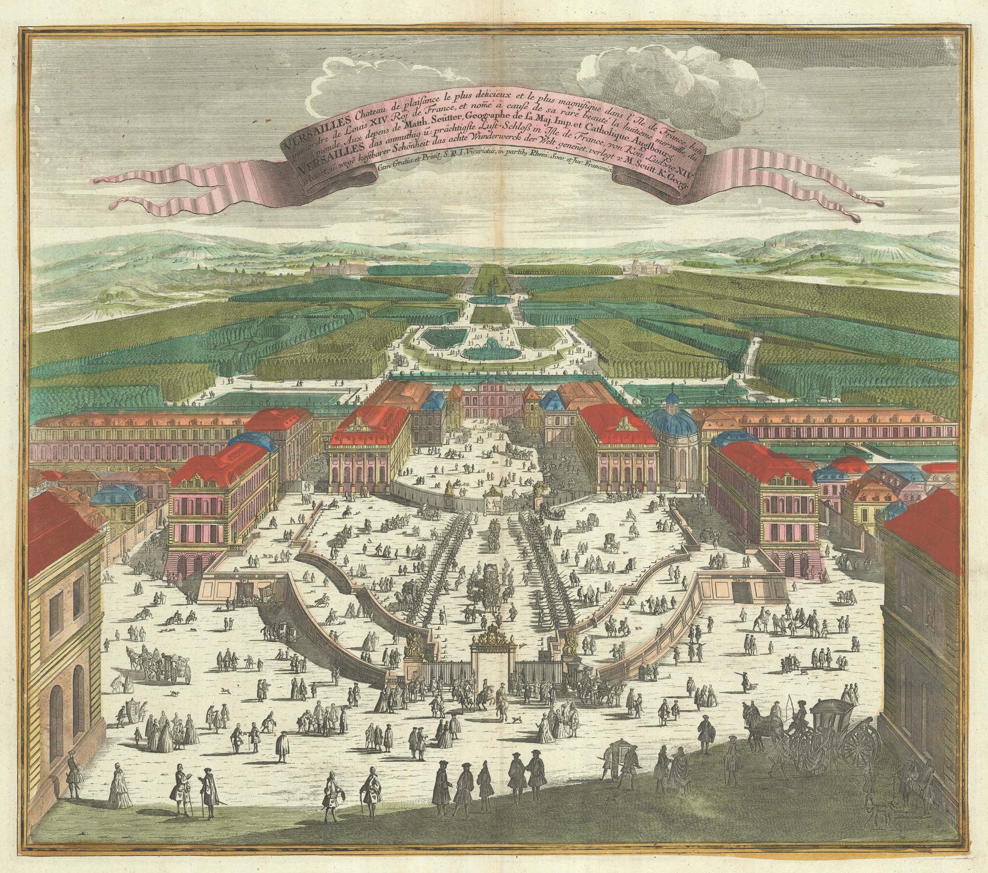
A bird's-eye view of Louis XIV's court at Versailles
SEUTTER, Matthaus. Date: 1735 Stock #: 23735 £700.00
Add to Wishlist
Add to Wishlist
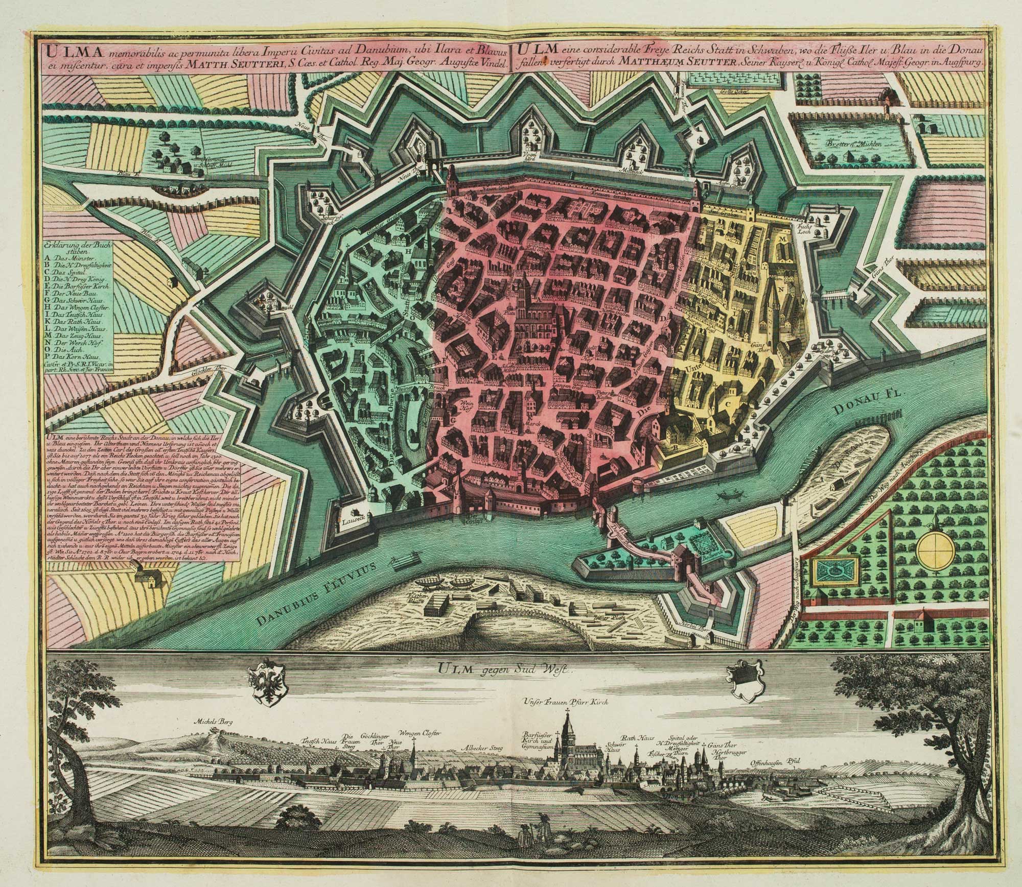
18th century town plan of Ulm
SEUTTER, Matthaus. Date: 1741 Stock #: 9406 £550.00
Add to Wishlist
Add to Wishlist
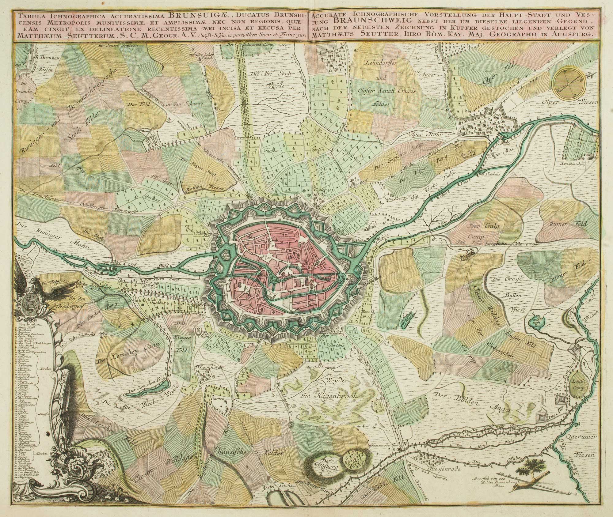
18th century map of Brunswick and its environs
SEUTTER, Matthaus. Date: 1735 Stock #: 9404 £260.00
Add to Wishlist
Add to Wishlist