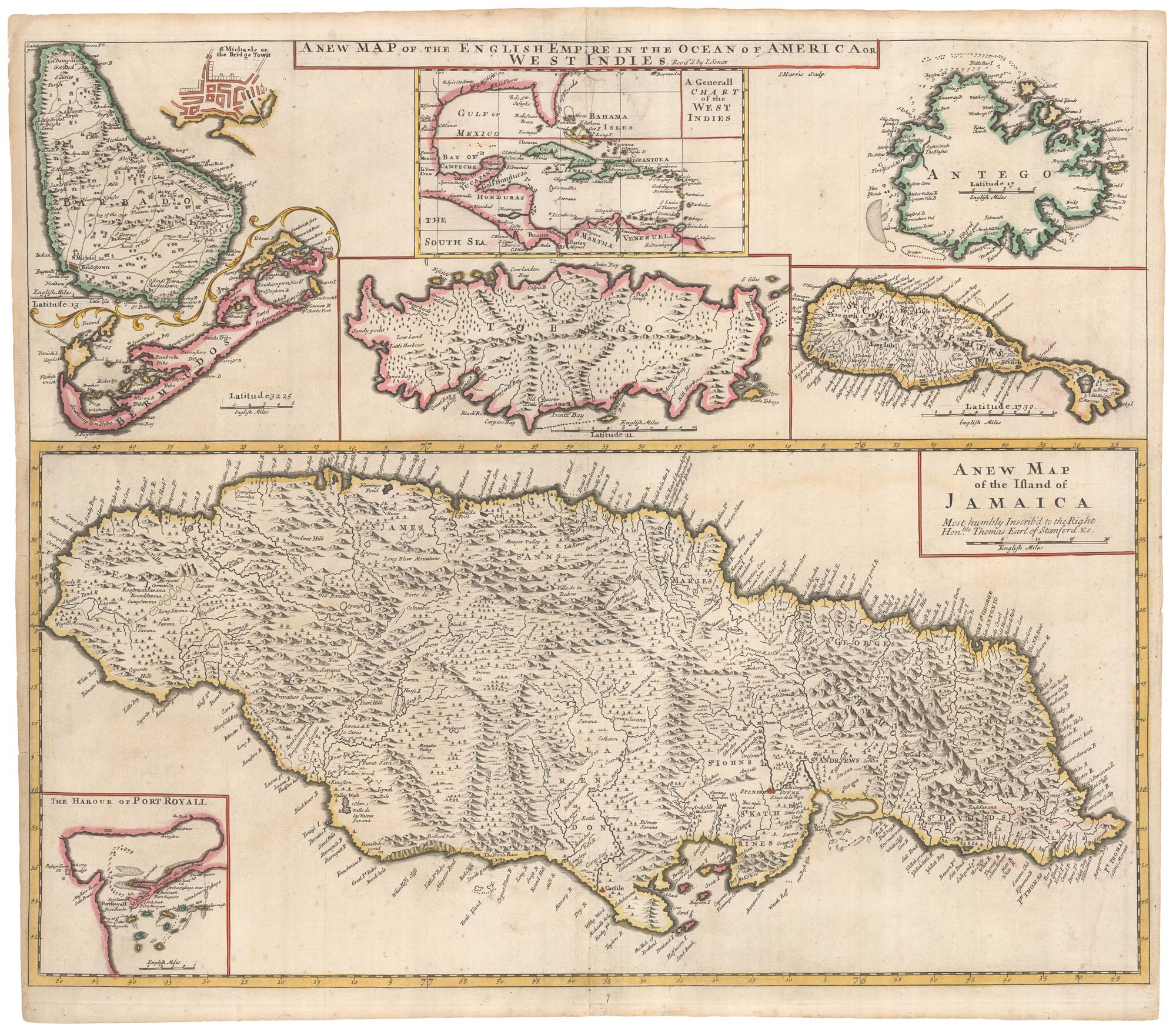


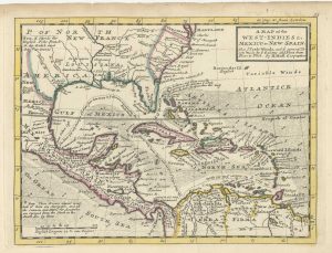
The English possessions in the West Indies
A New Map of the English Empire in the Ocean of America or West Indies.
London, 1721. Original colour. 510 x 615mm.
£850.00
Description
A scarce compilation of maps of the West Indian islands under control of the English during the early 18th century. With a general chart of the West Indies, they are Jamaica (captured by Robert Venables in 1665) with an inset chart of Port Royal; Barbados (settled by the English in 1627) with an inset of Bridgetown, Bermuda (1609), Tobago (claimed but not under British control until 1763), Antigua (1632); and St Kitts (1624).
Condition:
A little restoration at the centre fold.References:
PALMER: Bermuda, p.21.Related products
-
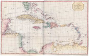
A large two-sheet map of the West Indies
EDWARDS, Bryan. Date: 1818Stock #: 18109 £1,100.00 -
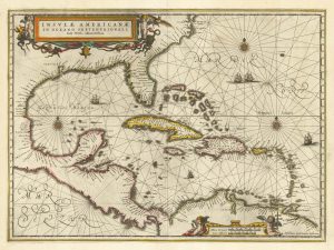
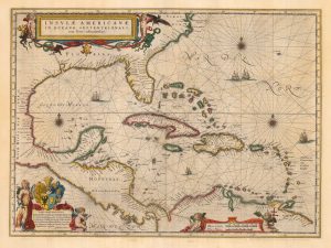
17th century chart of the West Indies
JANSSON, Jan. Date: 1638Stock #: 23161 £1,300.00 -
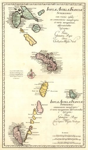
A two-sheet map of the Lesser Antilles
WEIGEL, Christoph. Date: 1747Stock #: 25324 £500.00 -
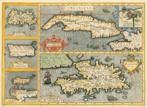
17th century old maps of the West Indian Islands
HONDIUS, Jodocus. Date: 1623Stock #: 23456 £1,200.00 -
Classic 17th century map of the West Indies
BLAEU, Willem Janszoon. Date: 1662Stock #: 22717 £1,800.00 -
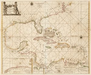
17th century sea-chart of the West Indies
GOOS, Pieter. Date: 1666Stock #: 11906 £2,500.00 -
18th century English map of the West Indies
MOLL, Herman. Date: 1732Stock #: 25667 £450.00 -
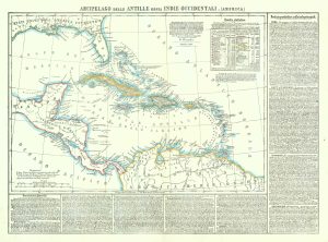
19th century map of the West Indies
MARZOLLA, Benedetto. Date: 1850Stock #: 19380 £220.00 -
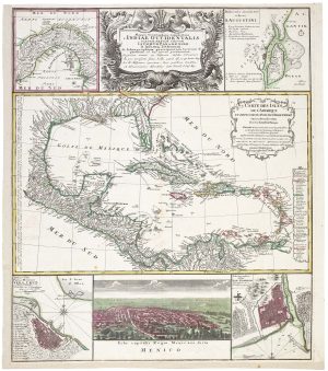
A decorative 18th century map of the West Indies
HOMANN HEIRS. Date: 1740Stock #: 20882 £750.00
Items by the same author
Add to Wishlist
Add to Wishlist
