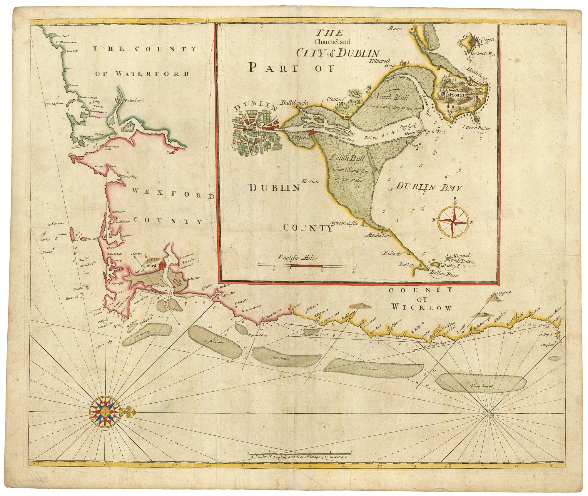


Sea chart of south east Ireland with an inset of Dublin Bay
[Untitled chart with inset] The Channel and City of Dublin.
London: Mount & Page, c.1750. Coloured. 450 x 540mm.
£550.00
1 in stock
x
Question About This Item?
Sea chart of south east Ireland with an inset of Dublin Bay & SELLER, Jeremiah.Stock #: 23160
Add to Wishlist
Export as PDFEnquireSimilar to Sell?Add to Wishlist
Description
A sea chart of south east Ireland, orientated with north to the right, showing from Waterford to Dalkey, with a large inset of Dublin Bay copied from Grenville Collins.
Condition:
A good example.Related products
-
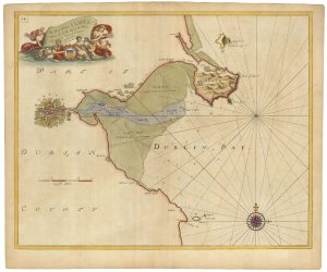
Sea chart of Dublin Bay from the first English sea-atlas
COLLINS, Greenvile. Date: 1693Stock #: 23156 £550.00 -

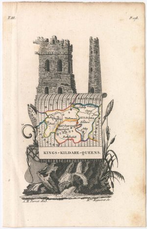
Miniature map of Dublin
PERROT, Aristide Michel. Date: 1828Stock #: 23125 £110.00 -
The famous map of Leinster by John Speed
SPEED, John. Date: 1665Stock #: 23786 £750.00 -
A scarce miniature map of Leinster
HONDIUS, Jodocus II. Date: 1807Stock #: 22143 £140.00 -

Miniature map of East Meath
PERROT, Aristide Michel. Date: 1828Stock #: 23126 £110.00 -

Miniature map of Kilkenny
PERROT, Aristide Michel. Date: 1828Stock #: 23119 £95.00 -
Miniature map of Kildare
PERROT, Aristide Michel. Date: 1828Stock #: 23120 £75.00 -

Miniature map of Longford and West Meath
PERROT, Aristide Michel. Date: 1828Stock #: 23127 £100.00