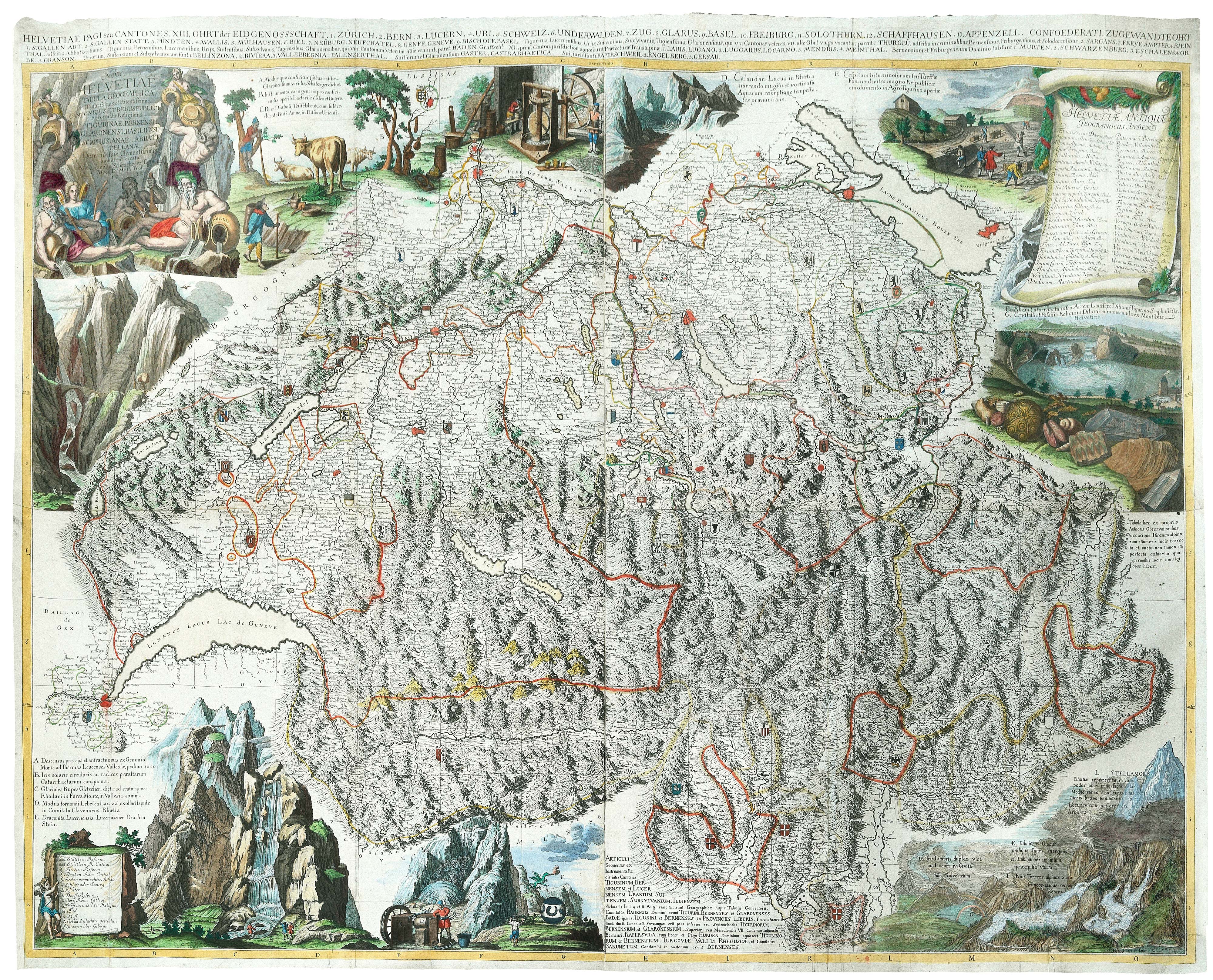


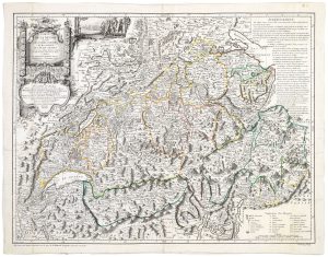
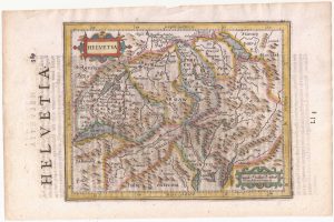
A monumental 18th century wall map of Switzerland on four sheets
Nova Helvetiae Tabula Geographica, Illustrissimis et Potentissimis Cantonibus et Rebuspublicis Reformatae Religionis Tigurinae, Bernensi, Glaronensi, Basiliensi, Scaphusianae, Abbatis Cellanae.
Zurich, 1712. Original colour with additions. Four sheets conjoined, total 1150 x 1520mm.
£6,500.00
1 in stock
x
Question About This Item?
A monumental 18th century wall map of Switzerland on four sheets & SCHEUCHZER, Johann Jakob.Stock #: 24499
Add to Wishlist
Export as PDFEnquireSimilar to Sell?Add to Wishlist
Description
One of the first large-scale maps of Switzerland, on a scale of 1/290,000, compiled by Johann Jakob Scheuchzer (1672-1733), a scholar who wrote about the history, geology, paleontology and natural history of the country. He travelled through central and eastern Switzerland between 1702 and 1704, using his observations on this map, improving the accuracy of the eastern section. It remained the best map of the country for the next century.
As well as the allegorical title and list of ancient placenames there are illustrations of Scheuchzer's observations, including a waterfall with a corona caused by the spray, a glacier and a ravine as well as mining machinery and peat-cutting. However he also depicts a 'Dragon of Lucerne', which is a blow to his modern credibility as a scientist. These illustrations were by Johann Melchior Füssli (1677-1736), who also illustrated Scheuchzer's 'Helvetiae historia naturalis'). The engravers were Johann Heinrich Huber (1677-1712) and Emanuel Schalk, who probably took over after Huber's death.
Condition:
Laid on archival canvas.Related products
-
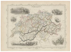
Mid 19th century map of Switzerland with decorative vignettes
TALLIS, John. Date: 1851Stock #: 21633 £110.00 -
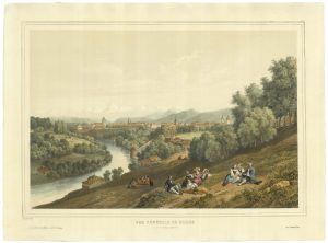
A mid-19th century view of Berne
DEROY, Isidore Laurent. Date: 1840Stock #: 21371 £750.00 -
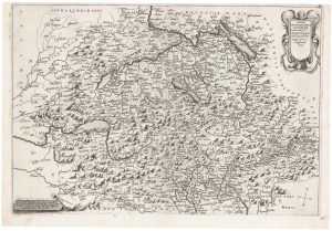
An unknown Italian map of Switzerland
Anonymous. Date: 1637Stock #: 22301 £6,800.00 -
A 18th century map of Switzerland by a Swiss publisher
GRASSET, François. Date: 1769Stock #: 20832 £480.00 -
18th century map of Switzerland
SEUTTER, Matthaus. Date: 1760Stock #: 18948 £220.00 -
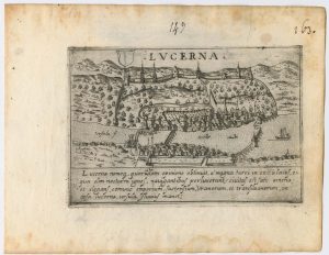
A 16th century town plan of Lucerne
VALEGIO, Francesco. Date: 1598Stock #: 24205 £300.00 -
Extremely rare Russian edition of Bonne’s map of Switzerland
BONNE, Rigobert. Date: 1793Stock #: 20512 £650.00 -
Switzerland from the first English Edition of the ‘Atlas Minor’
HONDIUS, Jodocus II. Date: 1635Stock #: 22440 £180.00 -
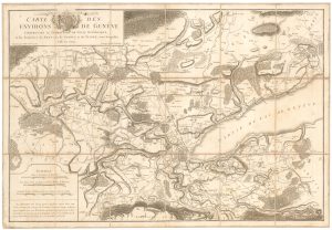
An unusual map of the environs of Geneva
MALLET, Henri. Date: 1776Stock #: 23943 £300.00