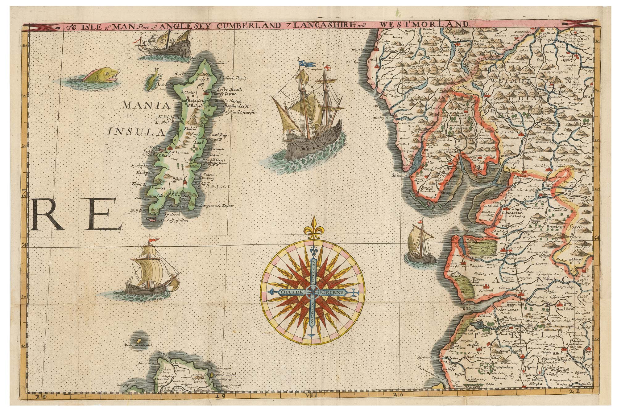


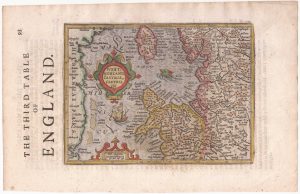
A leaf of Saxton’s ‘Traveller’s Guide’ of England and Wales
The Isle of Man Part of Anglesey Cumberland Lancashire and Westmorland.
London: Philip Lea, c.1700. Coloured. Printed border 285 x 435mm.
£900.00
1 in stock
x
Question About This Item?
A leaf of Saxton’s ‘Traveller’s Guide’ of England and Wales & SAXTON, Christopher.Stock #: 24050
Add to Wishlist
Export as PDFEnquireSimilar to Sell?Add to Wishlist
Description
A rare sheet from Lea's reissue of Christopher Saxton's ''Britannia Insularum In Oceanio Maximo'', a 20-sheet wall map of England and Wales first published in 1583, of which there are only two examples known. This example was folded into Lea's ''Travellers Guide''.
In the century of its existance the plate has several revisions, for example the title in the top border, the correcting of the shape of the Isle of Man and the addition of Ogilby's Roads on the mainland.
Condition:
Trimmed to printed border lower right by binder, margin replaced; repairs to binding folds.References:
See Shirley 137 for the first issue and recorded reissuesRelated products
-
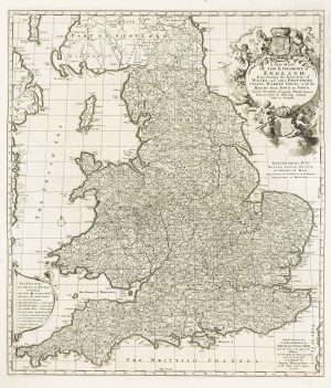
A separate-issue road map of England
VISSCHER, Nicolas. Date: 1694Stock #: 10557 £480.00 -
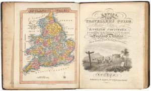
A pocket atlas of England and Wales
WALLIS, James. Date: 1819Stock #: 20636 £750.00 -
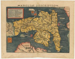
An early woodcut map of England
MUNSTER, Sebastian. Date: 1572Stock #: 24564 £1,000.00 -
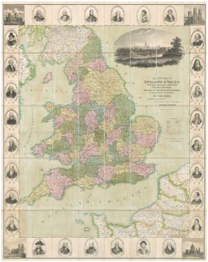
A decorative wall map of England & Wales
SEATON, Robert. Date: 1835Stock #: 10838 £1,500.00 -
Northern England from the first English Edition of the ‘Atlas Minor’
HONDIUS, Jodocus. Date: 1635Stock #: 22444 £100.00 -
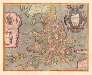
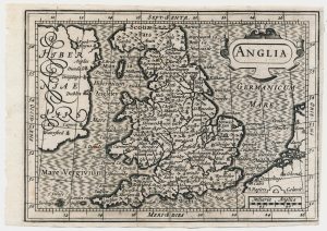
The rarest Ortelius atlas map of England and Wales
ORTELIUS, Abraham. Date: 1603Stock #: 25643 £2,000.00 -
North West England from the first English Edition of the ‘Atlas Minor’
HONDIUS, Jodocus. Date: 1635Stock #: 22445 £150.00 -
A scarce miniature map of England and Wales
ROGIERS, Salomon. Date: 1807Stock #: 22084 £160.00 -
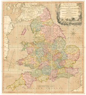
A road map of England and Wales
BOWLES, Carington. Date: 1800Stock #: 24719 £300.00
Items by the same author
Add to Wishlist
Add to Wishlist
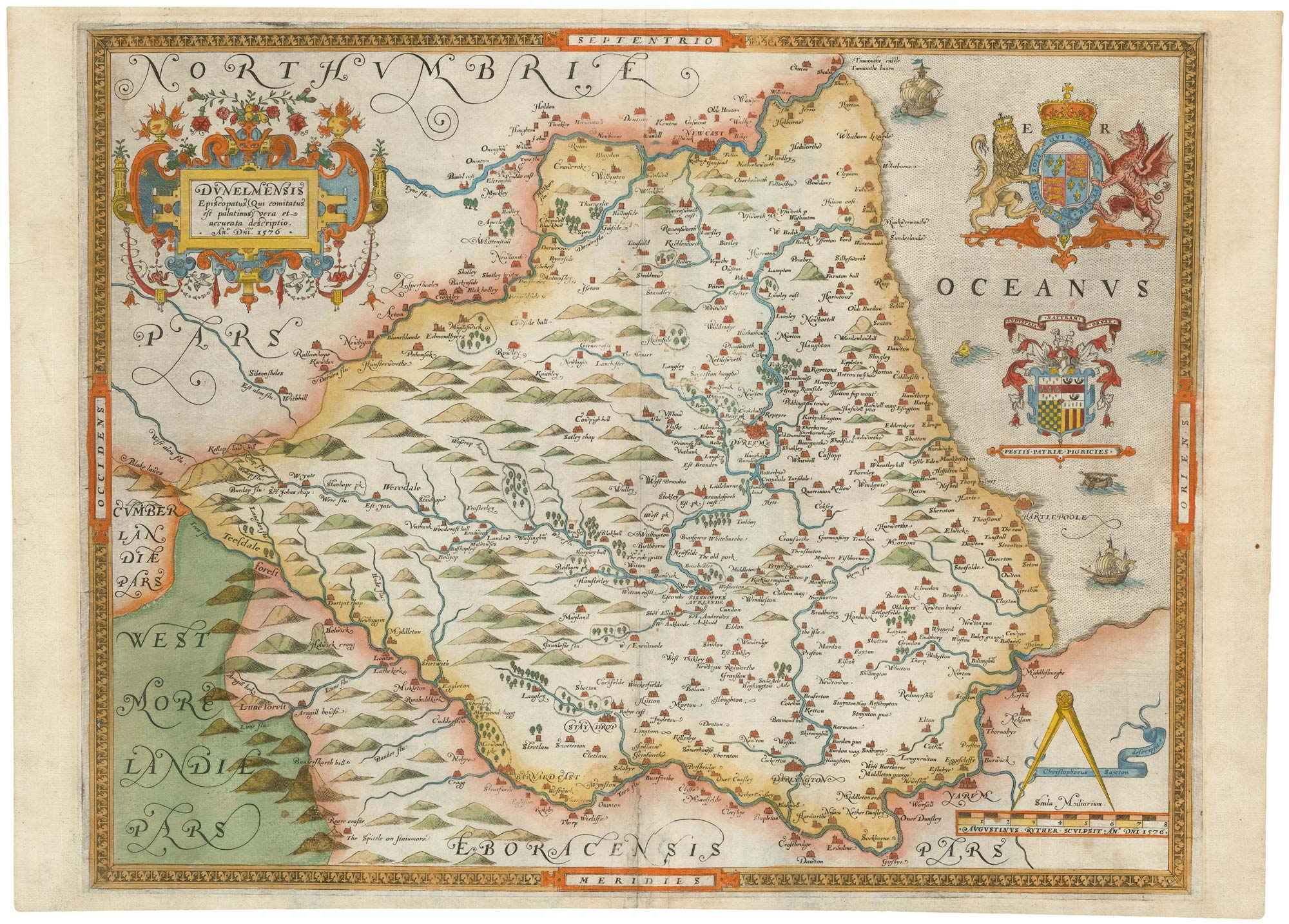
The first printed map of County Durham
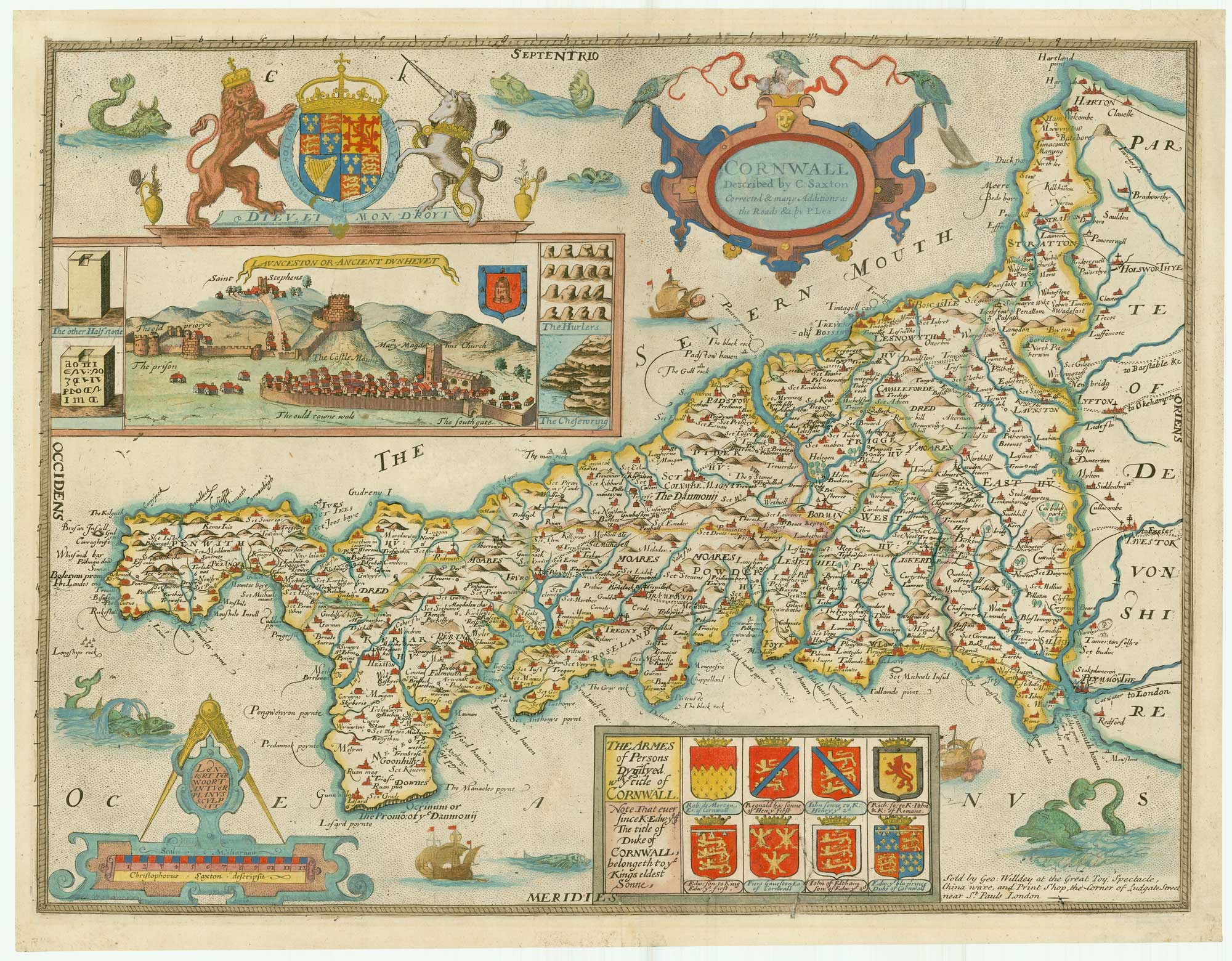
SAXTON, Christopher. Date: 1579 Stock #: 22583 £3,000.00
Add to Wishlist
Add to Wishlist
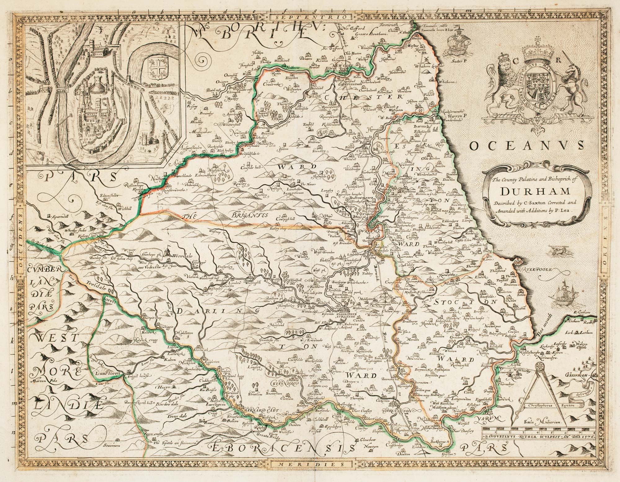
Saxton's map of Durham as revised by Philip Lea
SAXTON, Christopher. Date: 1694 Stock #: 22702 £1,250.00
Add to Wishlist
Add to Wishlist

An unrecorded state of Saxton's map of South East England
SAXTON, Christopher. Date: 1690 Stock #: 22260 £3,000.00
Add to Wishlist
Add to Wishlist
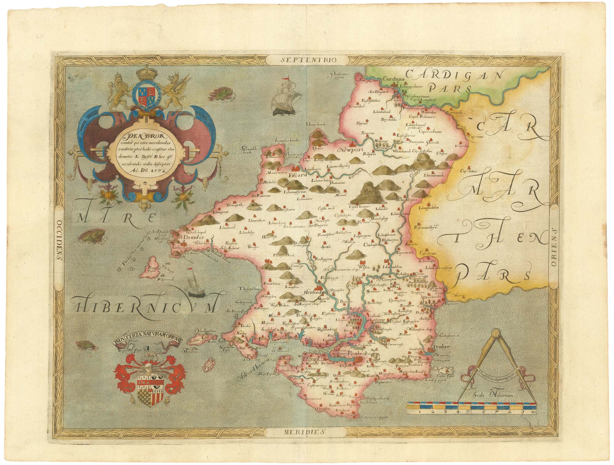
The first printed map of Pembrokeshire
SAXTON, Christopher. Date: 1579 Stock #: 21868 £3,500.00
Add to Wishlist
Add to Wishlist