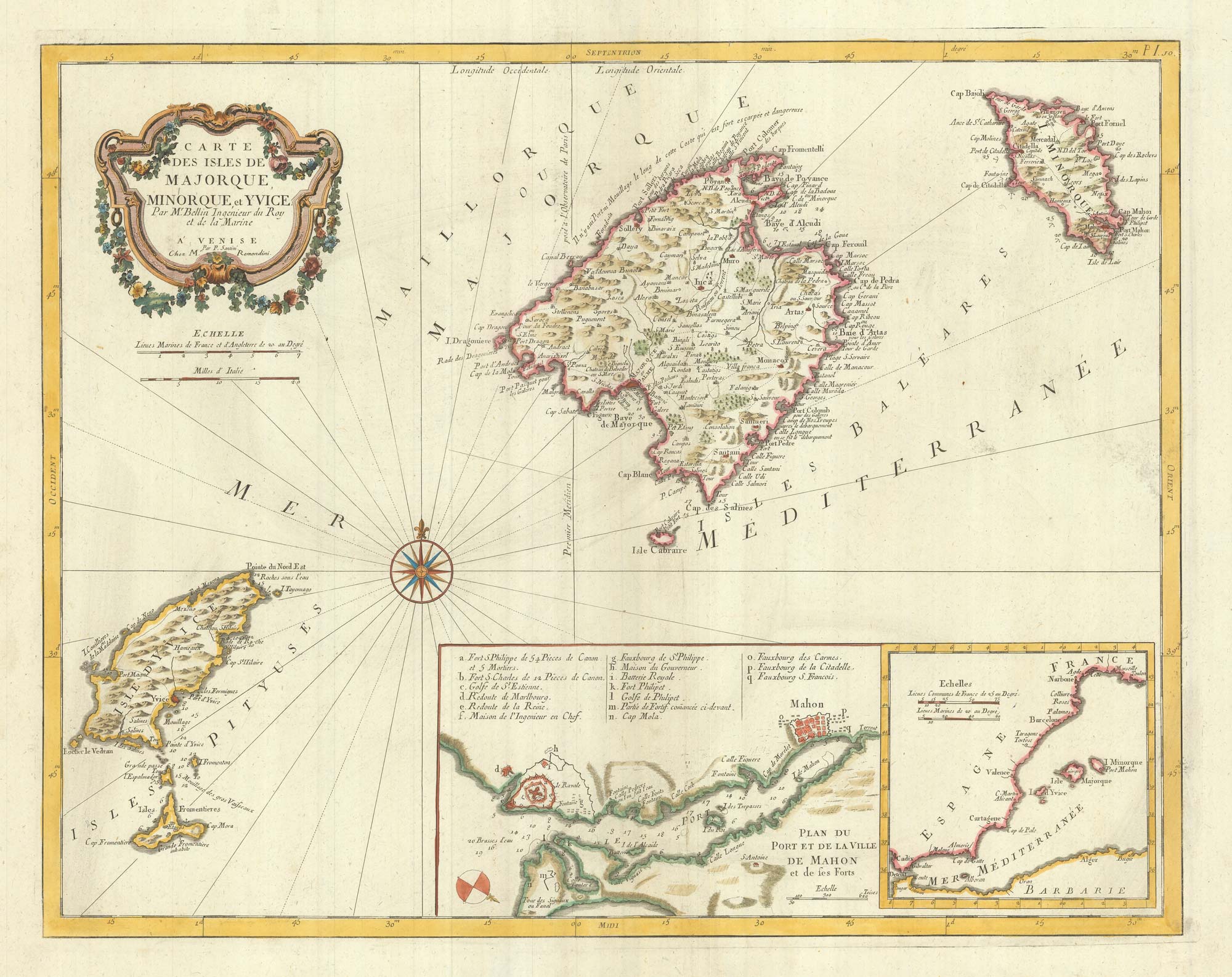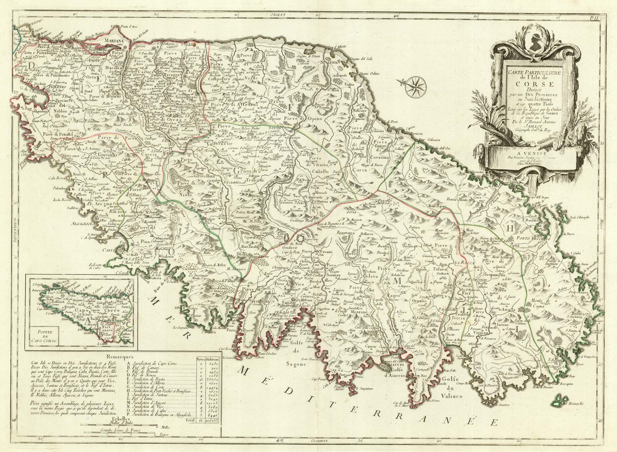


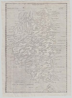
A detailed 18th century map of Corsica after Jaillot
Carte Particuliere de L'Isle de Corse Divisée par ses Dix Provinces ou Juridictions et ses quatre Fiefs. Levée sur les Lieux par les Orders de la Republique de Genes et mise au Jour Par le S.r Bernard AntoineJaillot Gégraphe Ord.re du Roy.
Venice: Giuseppe Antonio Remondini, 1784. Original outline colour. 485 x 660mm.
£650.00
1 in stock
x
Question About This Item?
A detailed 18th century map of Corsica after Jaillot & SANTINI, Francesco & SANTINI, Paolo.Stock #: 21914
Add to Wishlist
Export as PDFEnquireSimilar to Sell?Add to Wishlist
Description
A Venetian edition of the map prepared by Bernard Antoine Jaillot for the Republic of Genova in the 1730s, at the time the island's overlords.
Brothers Francesco and Paulo Santini were the editor and engraver respectively of their 'Atlas Universel', first issued in 1776, before selling the plates to Remondini in 1781. By the time this version was published Corsica had been secretly sold to France because of Pasquale Paoli's resistance to Genovese rule.
Condition:
A good example.Related products
-
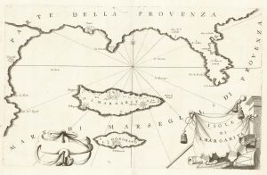
A map of Saint Marguerite with Cannes and Antibes
CORONELLI, Vincenzo Maria. Date: 1690Stock #: 20625 £280.00 -
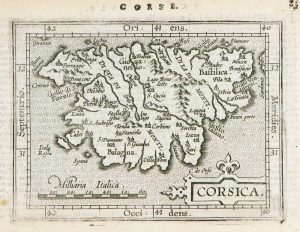
Miniature map of Corsica
ORTELIUS, Abraham. Date: 1602Stock #: 9121 £125.00 -
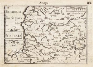
A 16th century miniature map of Artois
LANGENES, Barent. Date: 1599Stock #: 21154 £55.00 -
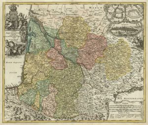
A map of Aquitaine in fine colour
HOMANN, Johann Baptist. Date: 1720Stock #: 21233 £350.00 -
An 18th century playing-card map of Normandy and surrounds
RABATTA, Augusto & BAILOU, Jean Baptist de. Date: 1779Stock #: 12975 £200.00 -
16th century woodcut map of Corsica
ALBERTI, Leandro. Date: 1588Stock #: 21495 £600.00 -
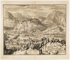
A fine prospect of the Savoyard fortress of Montmélian
HOOGHE, Romeyn de. Date: 1697Stock #: 14678 £700.00 -
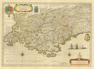
17th century map of Provence
BLAEU, Willem Janszoon. Date: 1645Stock #: 25328 £500.00 -
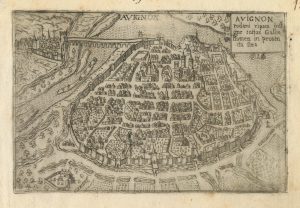
A 16th century town plan of Avignon
VALEGIO, Francesco. Date: 1598Stock #: 24211 £150.00
Items by the same author
Add to Wishlist
Add to Wishlist

A large format 18th century map of Sardinia
SANTINI, Francesco & SANTINI, Paolo. Date: 1784 Stock #: 21917 £600.00
Add to Wishlist
Add to Wishlist