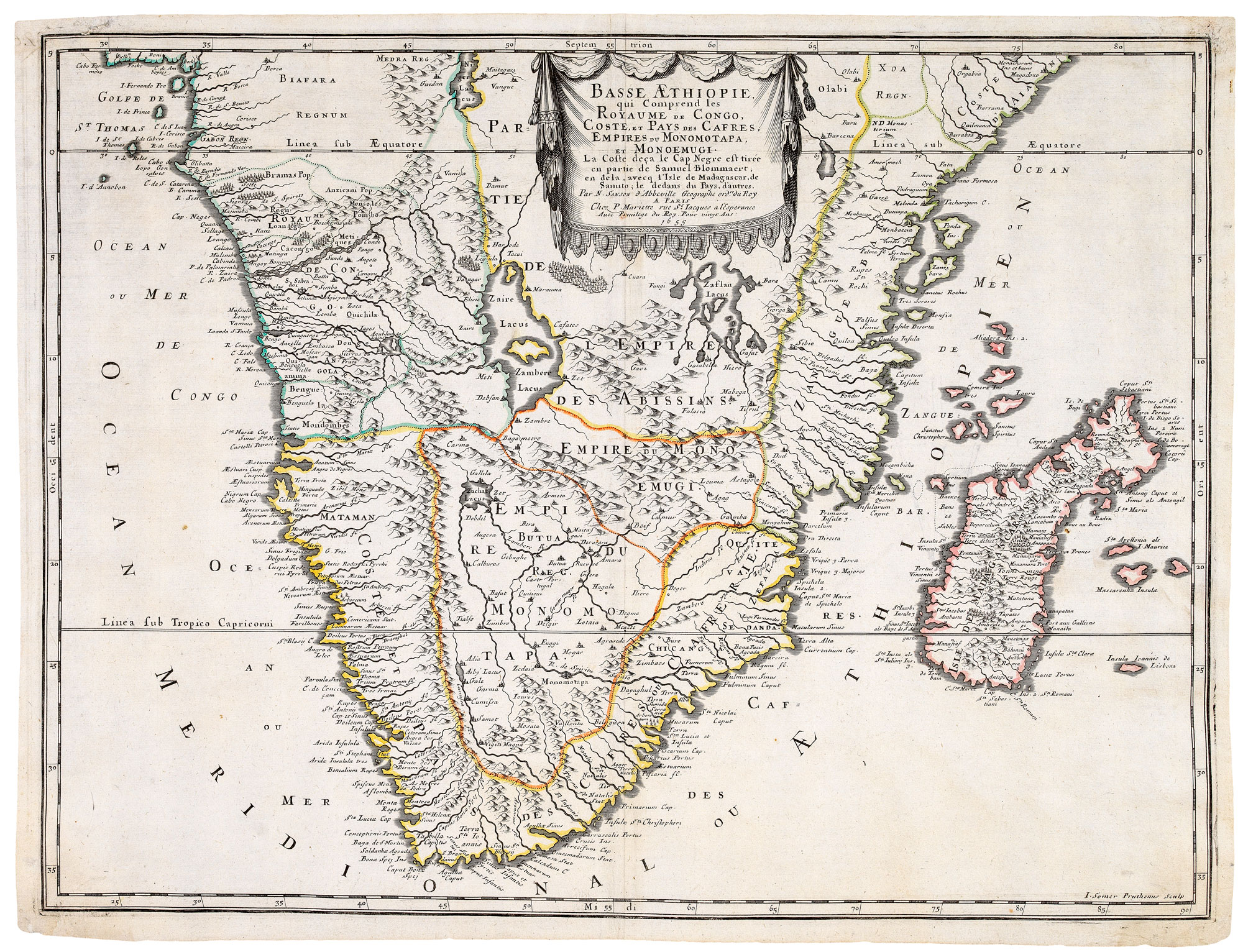


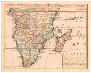
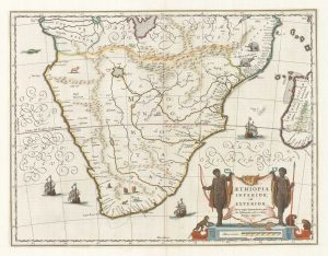
A 17th century French map of Southern Africa
Basse Aethiopie, qui comprend les Royaume de Congo, Coste, et Pays des Cafres, Empires du Monomatapa et Monoemugi.
Paris, Pierre Mariette, 1655. Original outline colour. 425 x 565mm.
£450.00
1 in stock
x
Question About This Item?
A 17th century French map of Southern Africa & SANSON, Nicolas.Stock #: 20794
Add to Wishlist
Export as PDFEnquireSimilar to Sell?Add to Wishlist
Description
Africa south of the Equator, with the coastline below Cape Negro based on Blommaert and Madagascar on Sanuto. The interior detail is invented, with fictitious states, cities and rivers filling the void.
Condition:
A good example.References:
TOOLEY: Africa, p.100, plate 76; NORWICH: Africa 158.Related products
-
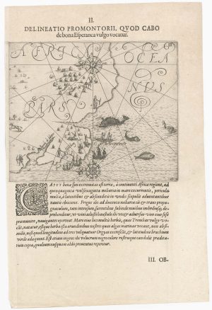
One of the earliest maps to depict the Cape of Good Hope
DE BRY, Theodore. Date: 1612Stock #: 22976 £400.00 -
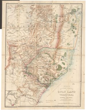
A contemporary military folding map for the Anglo-Zulu War of 1879.
WYLD, James. Date: 1879Stock #: 22989 £650.00 -
Mid-18th century map of the Cape of Good Hope
SALMON, Thomas. Date: 1745Stock #: 20025 £260.00 -
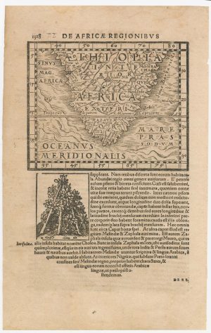
A 16th century woodcut map of Southern Africa
HONTER, Johannes. Date: 1572Stock #: 23059 £200.00 -
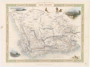
Map of Cape Colony with vignettes
TALLIS, John. Date: 1851Stock #: 18542 £150.00 -
An 18th century map of Africa below the Equator
CHATELAIN, Henri Abraham. Date: 1720Stock #: 22880 £380.00 -
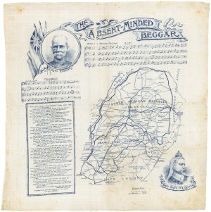
Handkerchief published to raise money for the families of Boer War Soldiers
DAILY MAIL PUBLISHING. Date: 1899Stock #: 17963 £380.00 -
17th century map of Southern Africa
BLAEU, Willem Janszoon. Date: 1665Stock #: 17998 £765.00 -
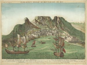
18th century vue d’optique of the Cape of Good Hope
RIEDEL, Gottlieb Friedrich. Date: 1780Stock #: 23736 £600.00
Items by the same author
Add to Wishlist
Add to Wishlist
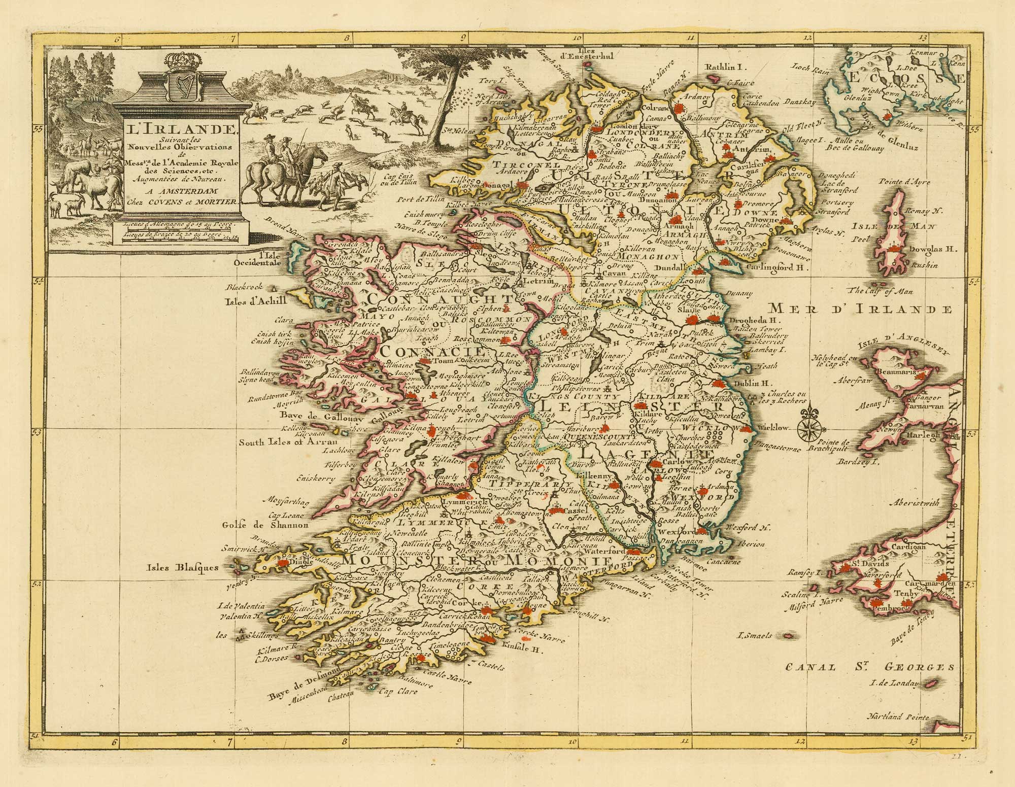
18th century map of Ireland
SANSON, Nicolas. Date: 1729 Stock #: 20047 £220.00
Add to Wishlist
Add to Wishlist
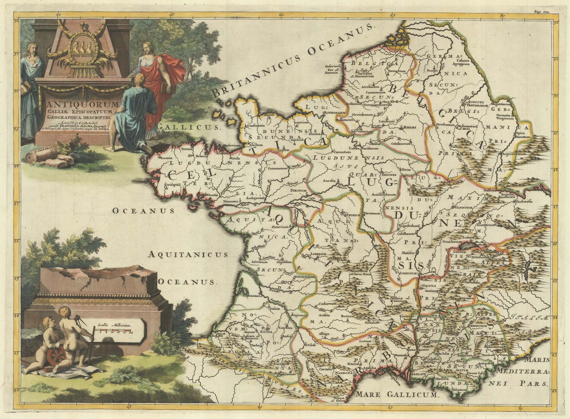
A map of the early Church in France
SANSON, Nicolas. Date: 1704 Stock #: 22063 £340.00
Add to Wishlist
Add to Wishlist
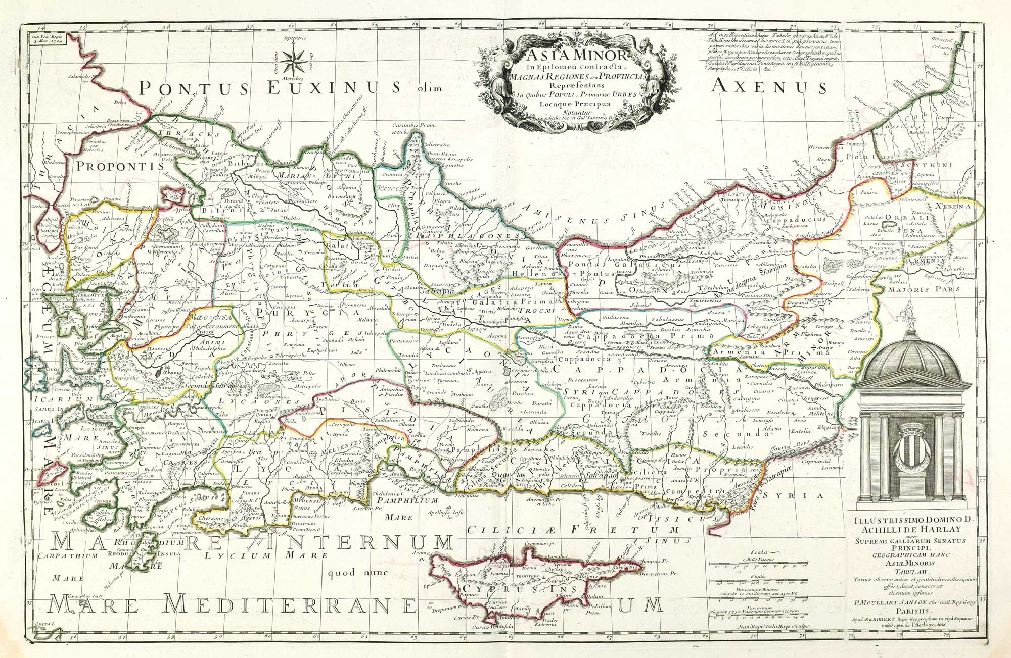
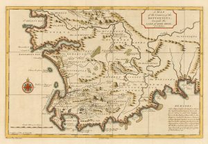
A map of Classical Turkey and Cyprus
SANSON, Nicolas. Date: 1731 Stock #: 17597 £650.00
Add to Wishlist
Add to Wishlist
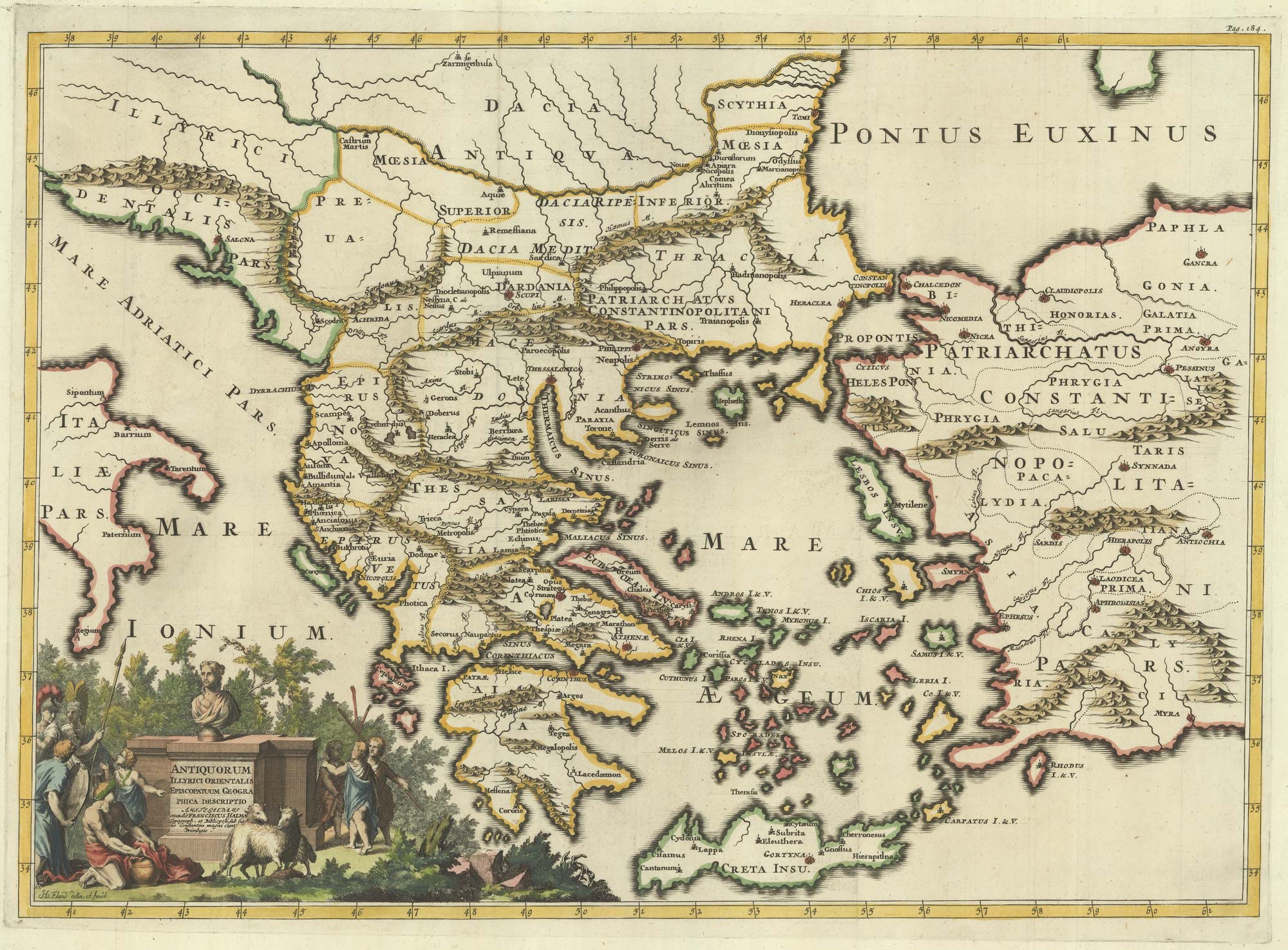
A map of the early Church in Greece
SANSON, Nicolas. Date: 1704 Stock #: 22064 £450.00
Add to Wishlist
Add to Wishlist
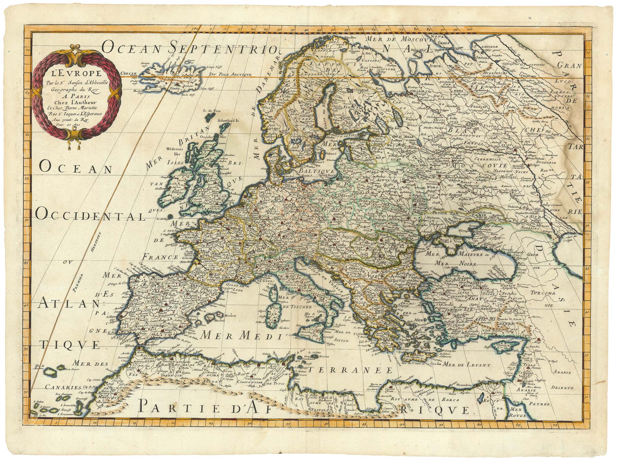
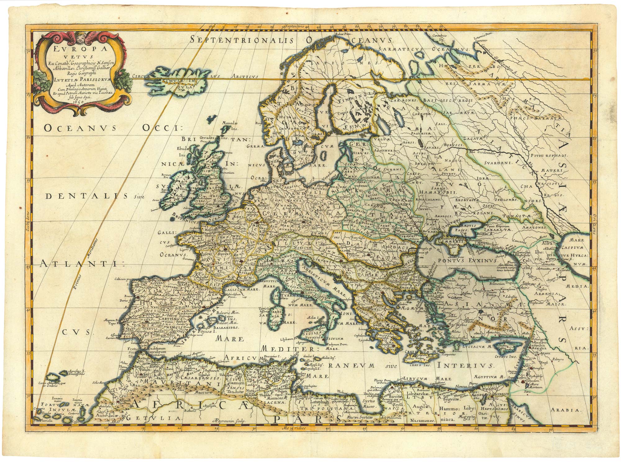
17th century map of Europe
SANSON, Nicolas. Date: 1658 Stock #: 24738 £580.00
Add to Wishlist
Add to Wishlist