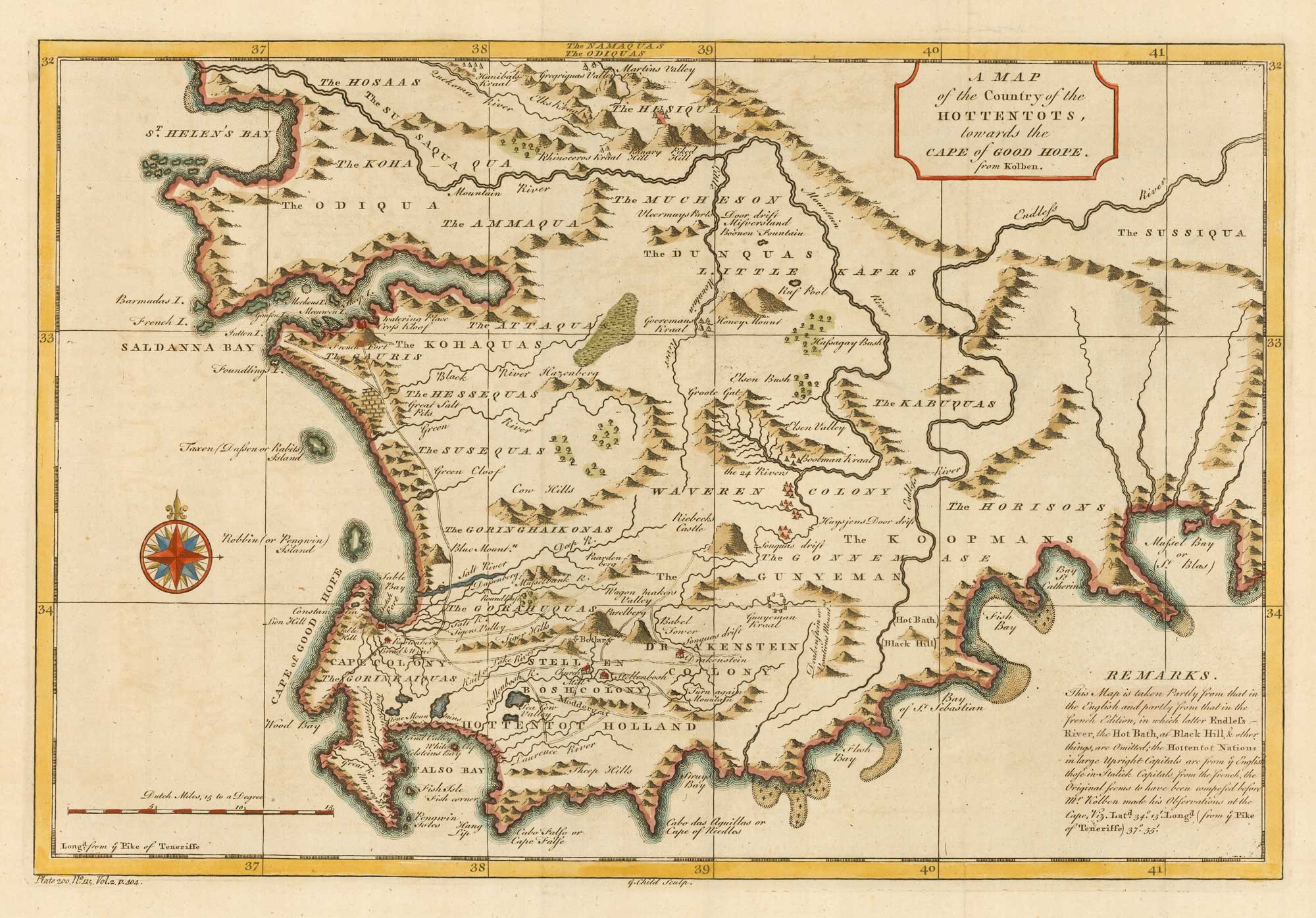


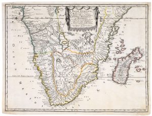
Mid-18th century map of the Cape of Good Hope
A Map of the Country of the Hottentots, towards the Cape of Good Hope. from Kolben.
London, 1745. Coloured. 260 x 400mm.
£260.00
1 in stock
x
Question About This Item?
Mid-18th century map of the Cape of Good Hope & SALMON, Thomas.Stock #: 20025
Add to Wishlist
Export as PDFEnquireSimilar to Sell?Add to Wishlist
Description
Map of the South African coast, from the bay of St. Helena to Mossel Bay.
The text reads: This map is taken partly from that in the English and partly from that in the French editionk, in which latter Endless River, the Hot Bath at Black Hill, & other things, are omitted; the Hottentot Nations in large Upright Capitals are from the English, those in Italic capitals from the French, the Original seems to have been composed before Mr. Kolben made his Observations at the Cape, Viz.l Lat. 34º. 15i. Long. (from the Pike of Teneriffe) 37º 55i.
Condition:
A good example.Related products
-
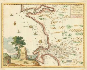
18th century Italian map of the Cape of Good Hope
ALBRIZZI, Giovanni Battista. Date: 1740Stock #: 19893 £390.00 -
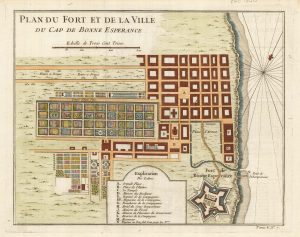
The Dutch Fort at Capetown
BELLIN, Jacques-Nicolas. Date: 1748Stock #: 21999 £160.00 -
A 17th century French map of Southern Africa
SANSON, Nicolas. Date: 1655Stock #: 20794 £450.00 -
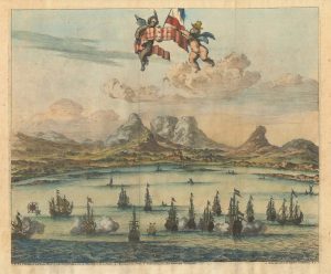
Cape of Good Hope naval prospect
AA, Pieter van der. Date: 1719Stock #: 24077 £400.00 -
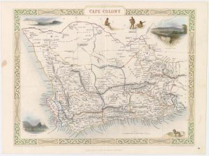
Map of Cape Colony with vignettes
TALLIS, John. Date: 1851Stock #: 18542 £150.00 -
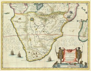
17th century Dutch map of South Africa
JANSSON, Jan. Date: 1807Stock #: 21825 £600.00 -

A decorative map of South Africa
BRION DE LA TOUR, Louis. Date: 1786Stock #: 19597 £165.00 -
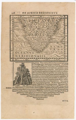
A 16th century woodcut map of Southern Africa
HONTER, Johannes. Date: 1572Stock #: 23059 £200.00 -
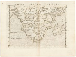
A 16th century map of Southern Africa
RUSCELLI, Girolamo. Date: 1557Stock #: 22243 £350.00
Items by the same author
Add to Wishlist
Add to Wishlist
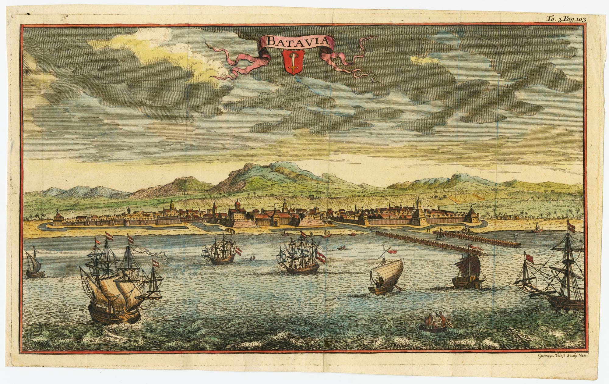
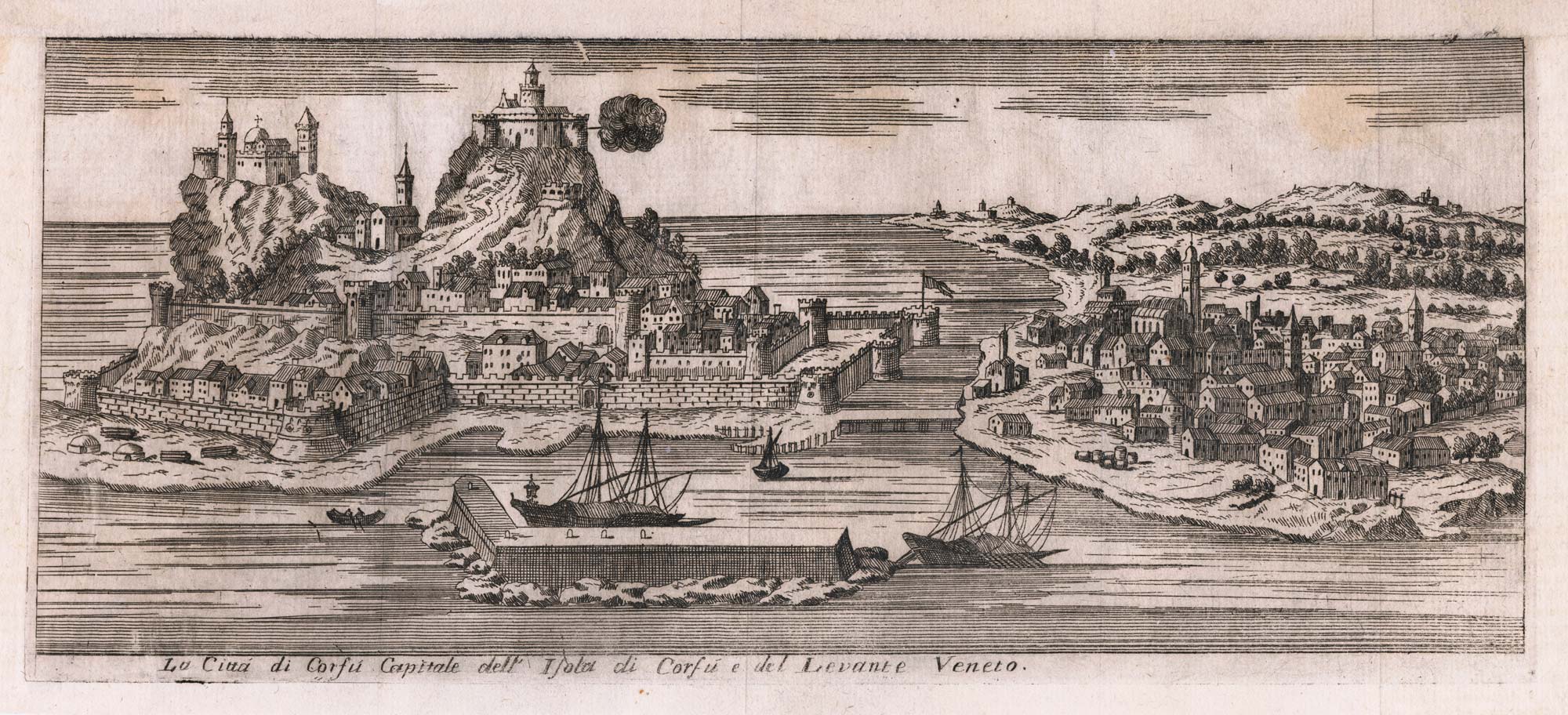
18th century view of the Dutch city of Batavia
SALMON, Thomas. Date: 1753 Stock #: 23642 £160.00
Add to Wishlist
Add to Wishlist