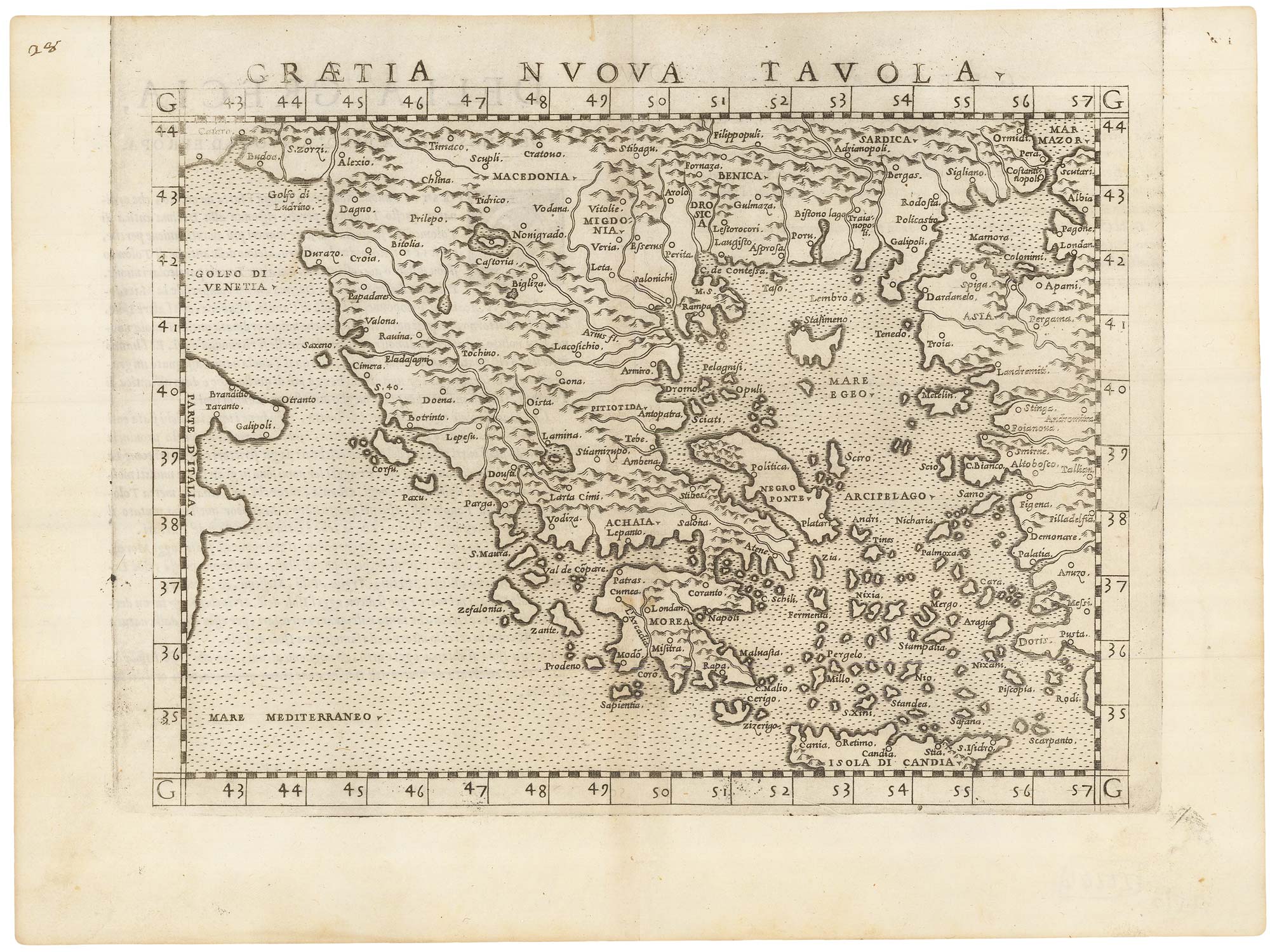


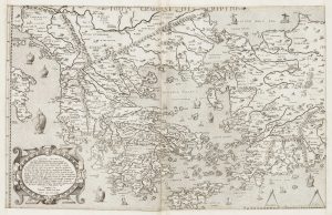
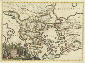
A 16th century map of Greece.
Graetia Nuova Tavola.
Venice: Vincenzo Valgrisi, 1561, First State. 185 x 260mm.
£200.00
Description
A 'modern' map of Greece and the Aegean, published in Ruscelli's 'La Geographi di Claudio Tolomeo'.
A feature of this first state is that no map has a platemark at top: two maps were engraved on the same plate and the resulting sheet halved. Later the plate was cut in two.
Condition:
A good example.References:
ZACHERAKIS: 1847, illus.Related products
-

A 16th century Italian map of the Peloponnese
ROSACCIO, Giuseppe. Date: 1598Stock #: 25044 £325.00 -
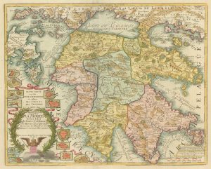
A 18th century two-sheet map of Ancient Greece
SEUTTER, Matthaus. Date: 1760Stock #: 22403 £450.00 -
The Wäldseemüller/Fries Ptolemaic map of Greece
WALDSEEMULLER, Martin. Date: 1535Stock #: 21935 £850.00 -
One of the earliest versions of Sophianos’s map of Greece
BERTELLI, Ferrando Date: 1564Stock #: 24220 £14,000.00 -
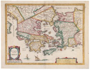
An uncommon woodcut map of Greece
ROSACCIO, Giuseppe. Date: 1615Stock #: 22462 £200.00 -

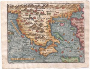
A 16th century miniature map of Greece
LANGENES, Barent. Date: 1599Stock #: 21331 £160.00 -
Classic C17th English map of Greece
SPEED, John. Date: 1676Stock #: 20298 £980.00 -
Map of the Peloponese and part of Greece and the Greek Isles
FER, Nicolas de. Date: 1715Stock #: 19449 £600.00 -
A map of the early Church in Greece
SANSON, Nicolas. Date: 1704Stock #: 22064 £450.00
Items by the same author
Add to Wishlist
Add to Wishlist

Ruscelli's map of Germany according to Ptolemy, First State
RUSCELLI, Girolamo. Date: 1557 Stock #: 22241 £220.00
Add to Wishlist
Add to Wishlist
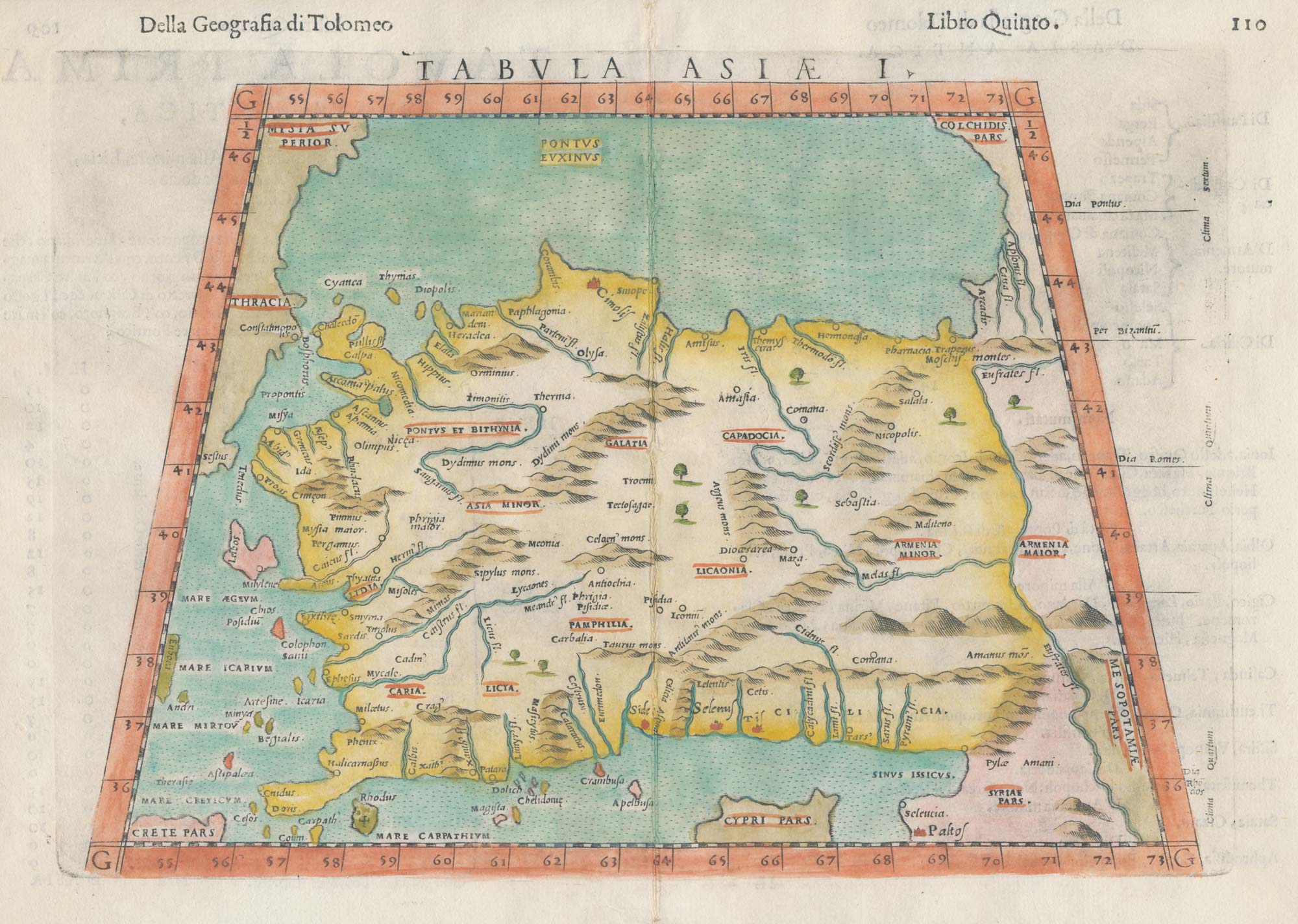
A 16th century map of Turkey according to Claudius Ptolemy
RUSCELLI, Girolamo. Date: 1598 Stock #: 20498 £250.00
Add to Wishlist
Add to Wishlist
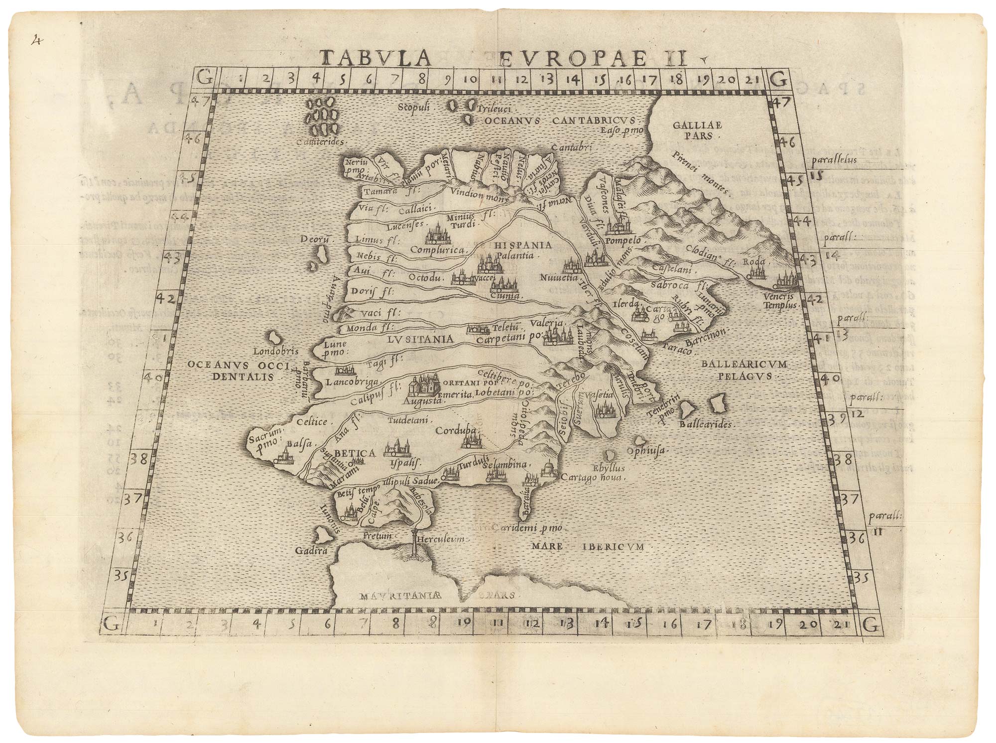
Ruscelli's map of Ptolemaic Iberia, first state.
RUSCELLI, Girolamo. Date: 1557 Stock #: 22240 £220.00
Add to Wishlist
Add to Wishlist
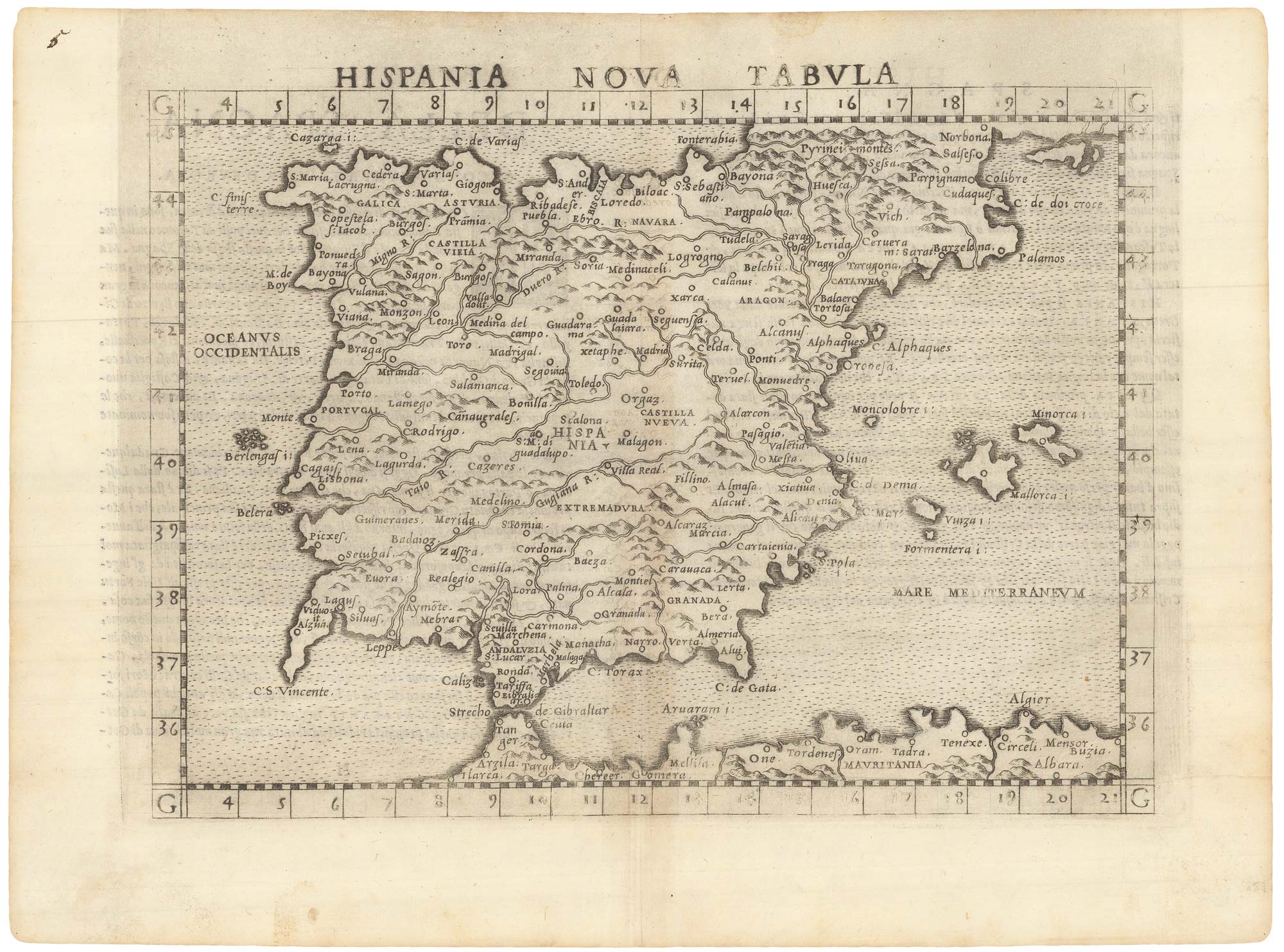
A 16th century map of Spain and Portugal
RUSCELLI, Girolamo. Date: 1557 Stock #: 22239 £260.00
Add to Wishlist
Add to Wishlist
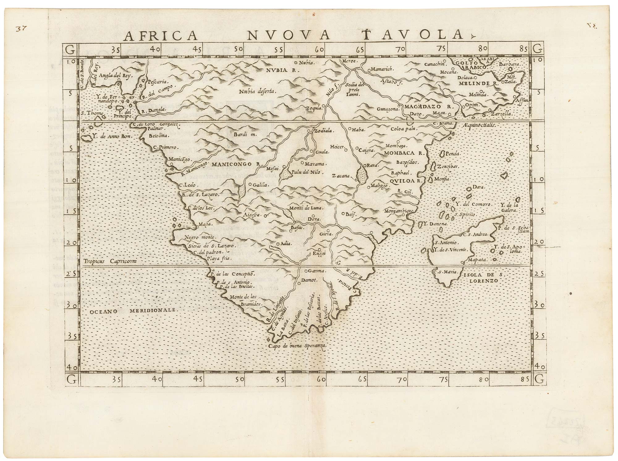
A 16th century map of Southern Africa
RUSCELLI, Girolamo. Date: 1557 Stock #: 22243 £350.00
Add to Wishlist
Add to Wishlist