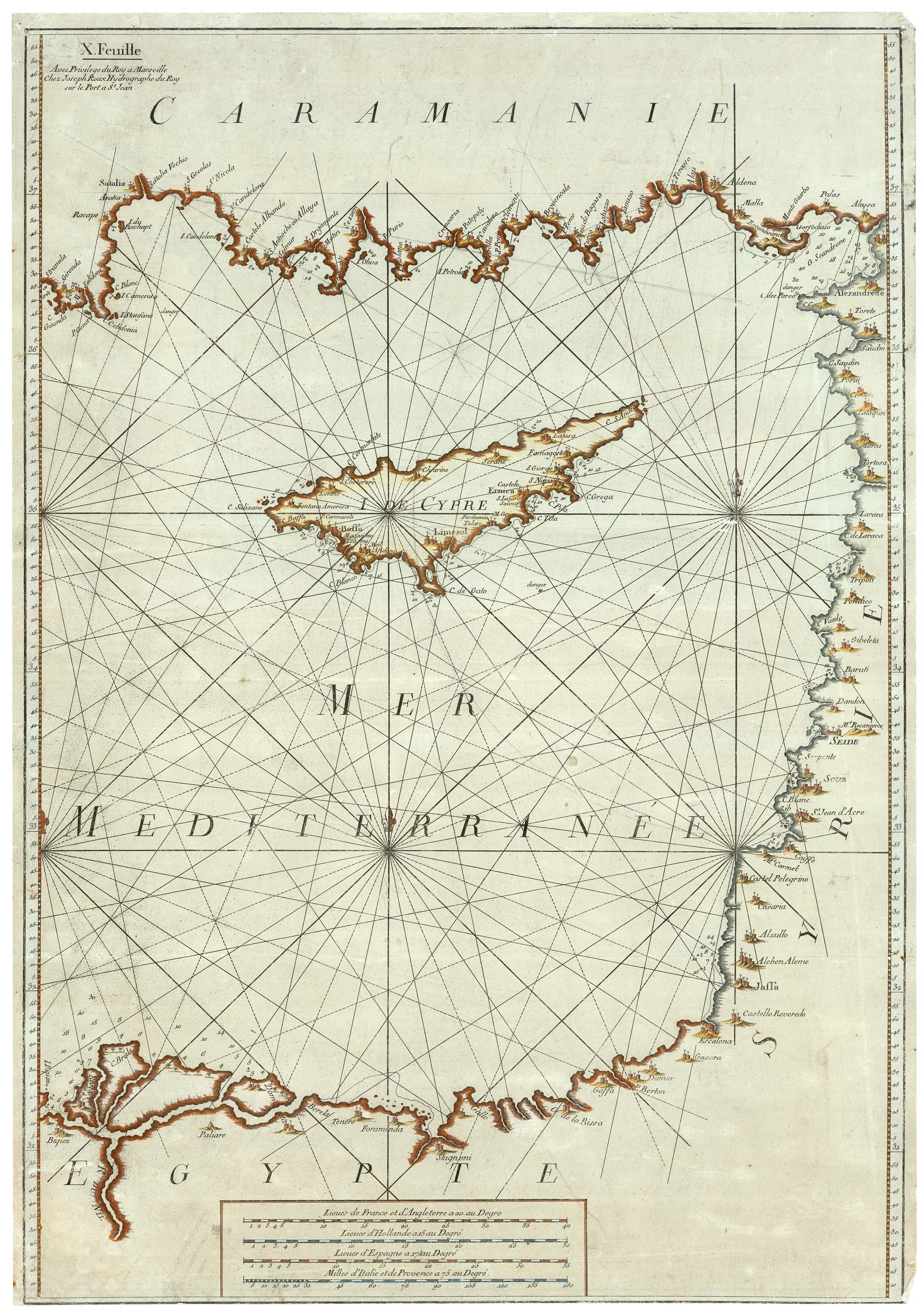


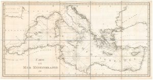
An unusual sea chart of the Eastern Mediterranean with Cyprus
X. Feuille, I De Cypre
Marseilles, 1764. Coloured. 805 x 555mm.
£1,400.00
1 in stock
x
Question About This Item?
An unusual sea chart of the Eastern Mediterranean with Cyprus & ROUX, Joseph.Stock #: 25152
Add to Wishlist
Export as PDFEnquireSimilar to Sell?Add to Wishlist
Description
A large seachart of the Eastern Mediterranean, showing the island of Cyprus prominently in the middle of the map. Published in Roux's 'Carte de La Mer Mediterranée en Douze Feuilles'. It covers from Antalya in southern Turkey. east to Iskenderun , with Tripoli, Beirut, Acre, Tel-Aviv (as Jaffa), Gaza and the Nile Delta. Cyprus is depicted with detail on the coasts including Famagusta and Limmassol.
Condition:
Trimmed to printed border at bottom, nicks in edges, some surface wear.References:
ZACHARAKIS: 1964.Related products
-
Map of classical Cyprus
JANSSON, Jan. Date: 1700Stock #: 20342 £1,250.00 -
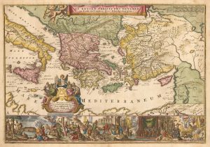
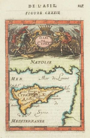
Early 18th century bible map of the Eastern Mediterranean
LINDENBERG, I. Date: 1636Stock #: 23099 £480.00 -
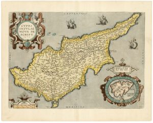
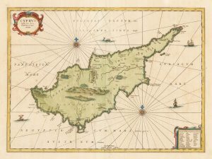
A classic 16th century Dutch map of Cyprus
ORTELIUS, Abraham. Date: 1595Stock #: 23815 £1,600.00 -
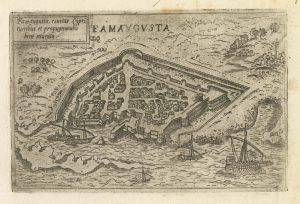
A rare 16th century Italian plan of Famagusta
VALEGIO, Francesco. Date: 1598Stock #: 24148 £950.00 -
A detailed 18th century chart of the Mediterranean Sea
DUPUIS, Louis André. Date: 1785Stock #: 18383 £1,200.00 -
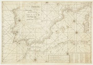
A scarce Irish chart of the Western part of the Mediterranean
GRIERSON, George Date: 1735Stock #: 14456 £2,000.00 -
Lasor a Varea’s issue of Franco’s map of Cyprus
FRANCO, Giacomo. Date: 1713Stock #: 15862 £650.00 -
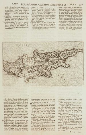
17th century miniature map of Cyprus
MALLET, Alain Manesson. Date: 1683Stock #: 17198 £300.00 -
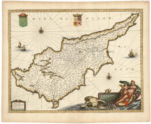
A classic 17th century decorative map of Cyprus
JANSSON, Jan. Date: 1680Stock #: 23017 £1,600.00
Items by the same author
Add to Wishlist
Add to Wishlist
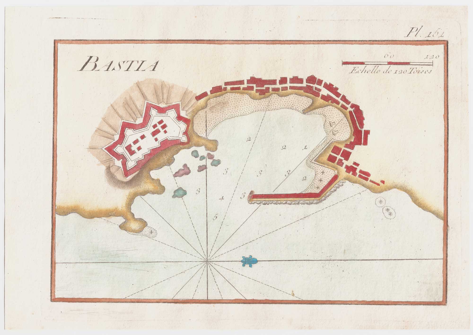
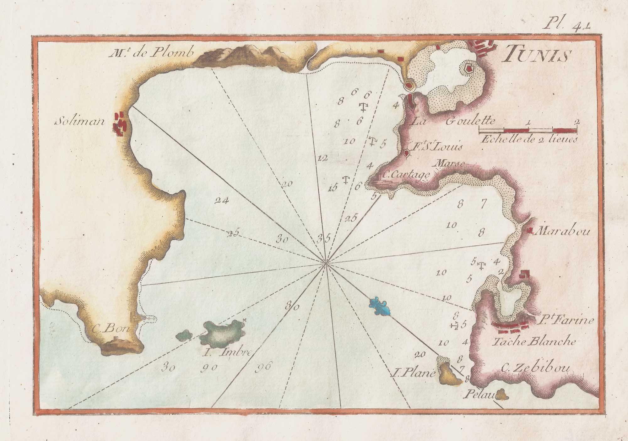
An 18th century chart of Bastia, Corsica
ROUX, Joseph. Date: 1764 Stock #: 21734 £80.00
Add to Wishlist
Add to Wishlist
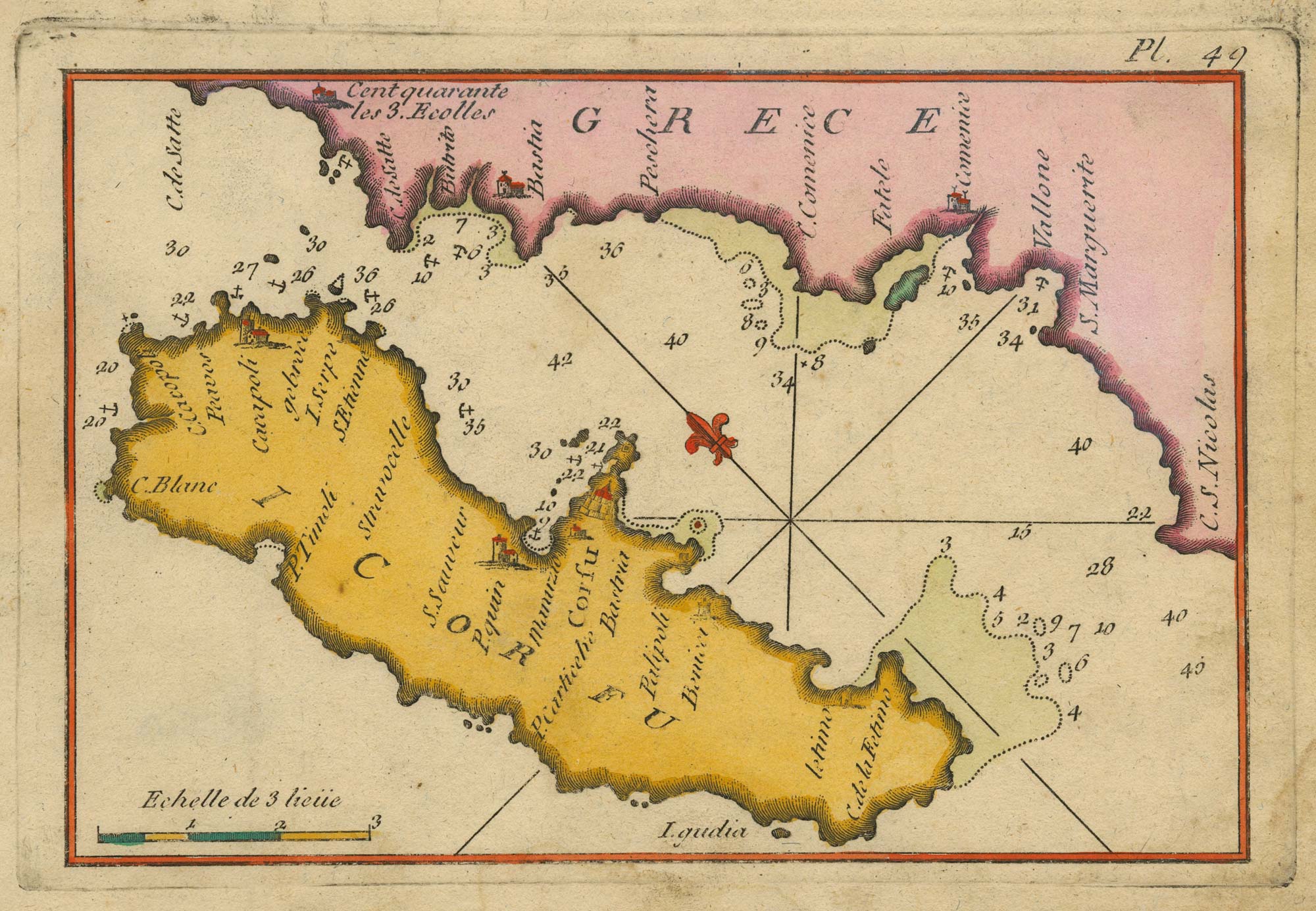
An 18th century chart of Corfu
ROUX, Joseph. Date: 1804 Stock #: 23636 £110.00
Add to Wishlist
Add to Wishlist
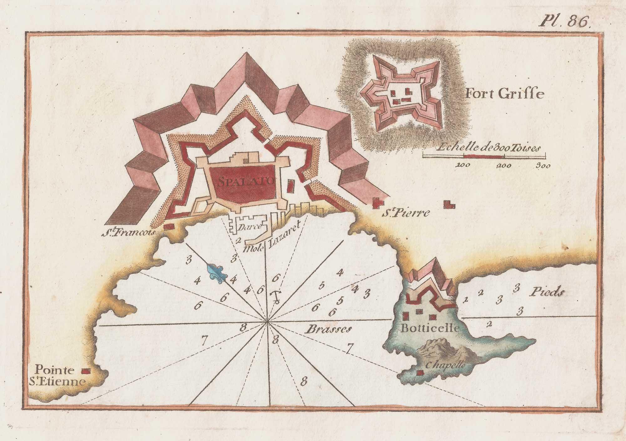
An 18th century chart of Split, Croatia
ROUX, Joseph. Date: 1764 Stock #: 21737 £80.00
Add to Wishlist
Add to Wishlist
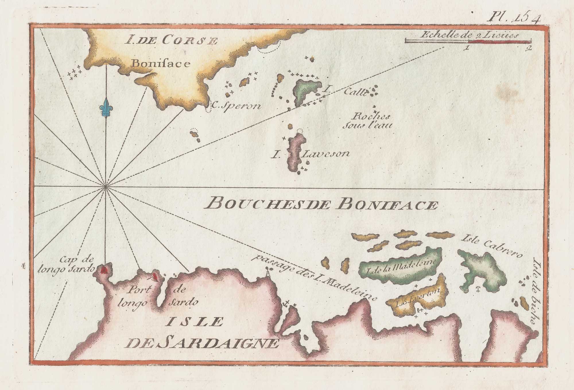
An 18th century chart of the Strait of Bonifacio
ROUX, Joseph. Date: 1764 Stock #: 21738 £80.00
Add to Wishlist
Add to Wishlist
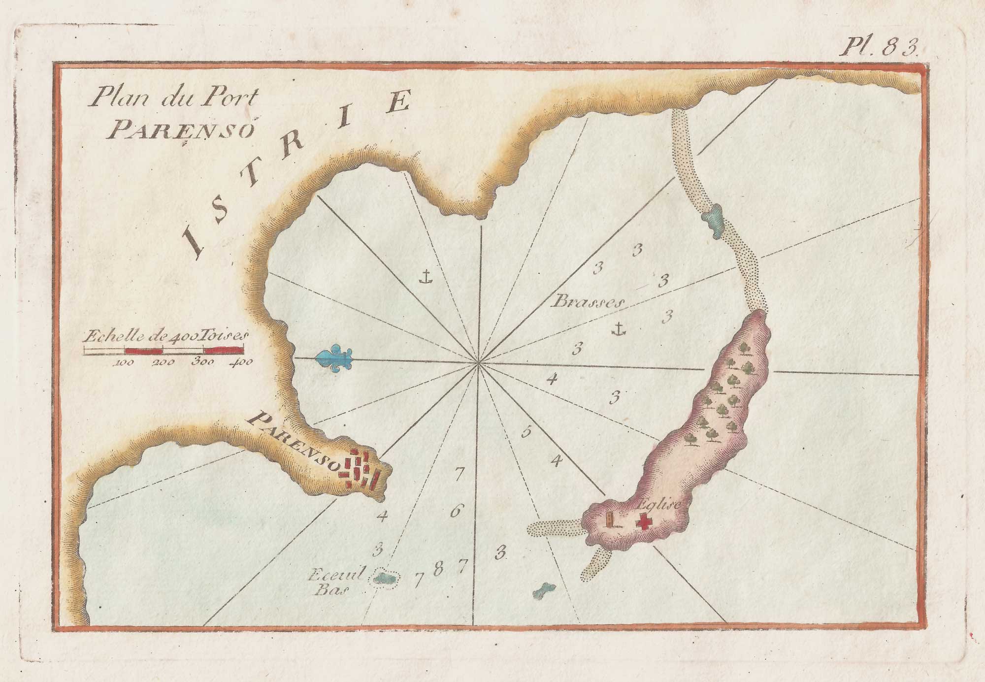
An 18th century chart of Porec, Croatia
ROUX, Joseph. Date: 1764 Stock #: 21741 £80.00
Add to Wishlist
Add to Wishlist