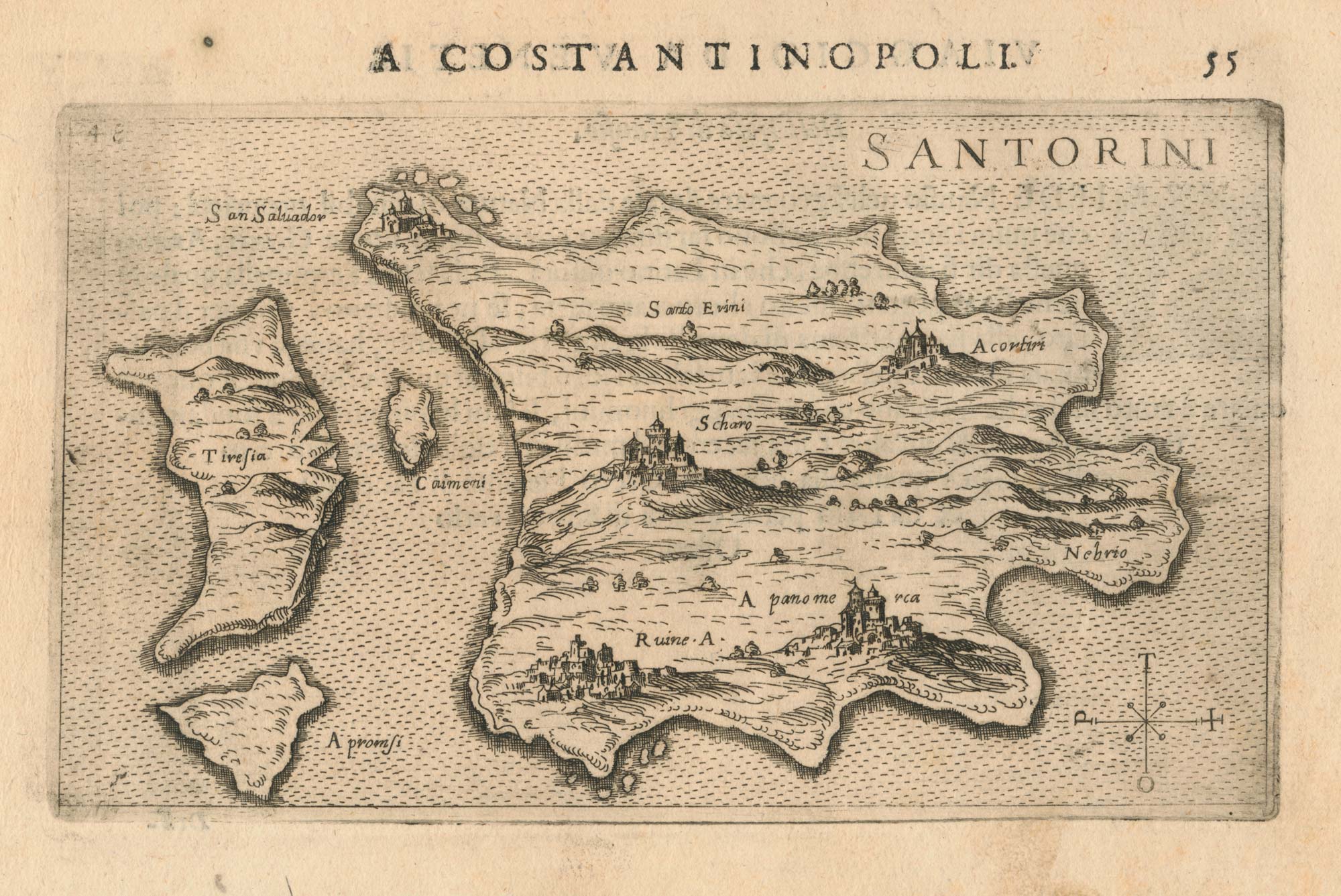


A 16th century Italian map of Santorini
Santorini.
Venice: Giacomo Franco, 1598. 100 x 175mm, set in letterpress.
£450.00
1 in stock
x
Question About This Item?
A 16th century Italian map of Santorini & ROSACCIO, Giuseppe.Stock #: 25047
Add to Wishlist
Export as PDFEnquireSimilar to Sell?Add to Wishlist
Description
An early map of Santorini, orientated with north to the left, with the towns shown in relief, published in Rosaccio's 'Viaggio da Venetia a Costantinopoli'.
Condition:
A good example.Related products
-
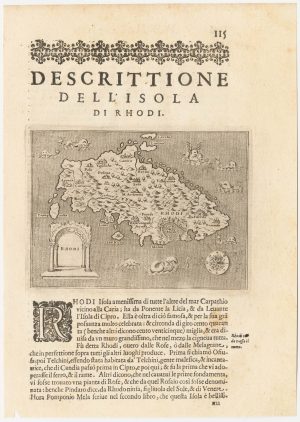
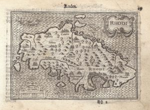
A 16th century map of Rhodes
PORCACCHI, Tomaso. Date: 1590Stock #: 23213 £120.00 -
Plan of the city of Chios
CORONELLI, Vincenzo Maria. Date: 1696Stock #: 18903 £100.00 -
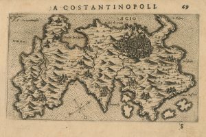
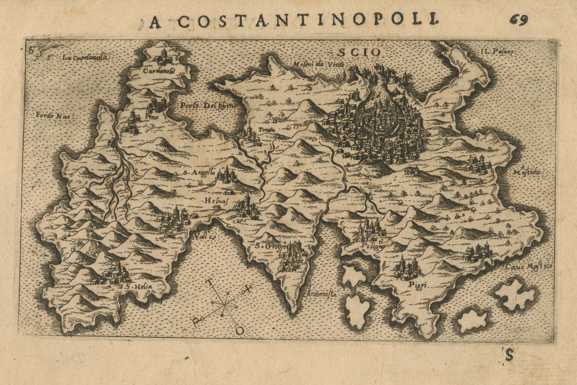
A 16th century Italian map of Chios
ROSACCIO, Giuseppe. Date: 1598Stock #: 25046 £500.00 -

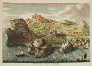
A prospect of Rhodes in the 17th century by a professional artist
BRUYN, Cornelis de. Date: 1714Stock #: 23085 £250.00 -
A 16th century miniature map of Rhodes
LANGENES, Barent. Date: 1599Stock #: 21334 £180.00 -

The medieval Castle of Pandeli on Leros
CORONELLI, Vincenzo Maria. Date: 1700Stock #: 23366 £350.00 -

A scarce map of Kos
CORONELLI, Vincenzo Maria. Date: 1700Stock #: 23371 £350.00 -
A scarce map of Riniea & Dilos
CORONELLI, Vincenzo Maria. Date: 1700Stock #: 23370 £350.00 -
View of Patmos
CALMET, Augustin Antoine. Date: 1730Stock #: 16445 £140.00
Items by the same author
Add to Wishlist
Add to Wishlist
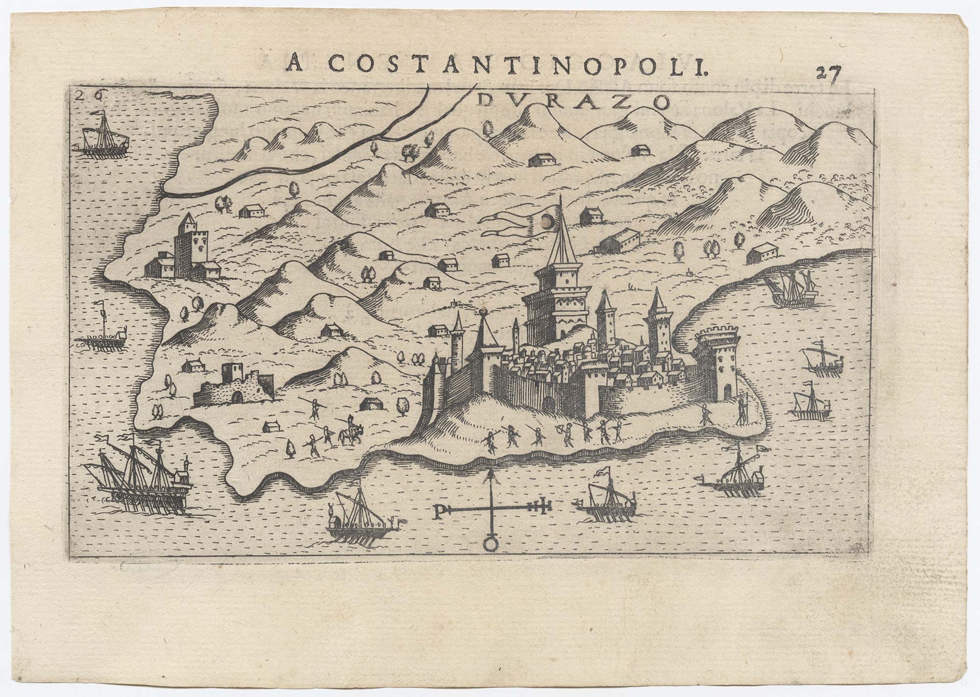
Early plan of Durrës, Albania
ROSACCIO, Giuseppe. Date: 1598 Stock #: 25628 £300.00
Add to Wishlist
Add to Wishlist
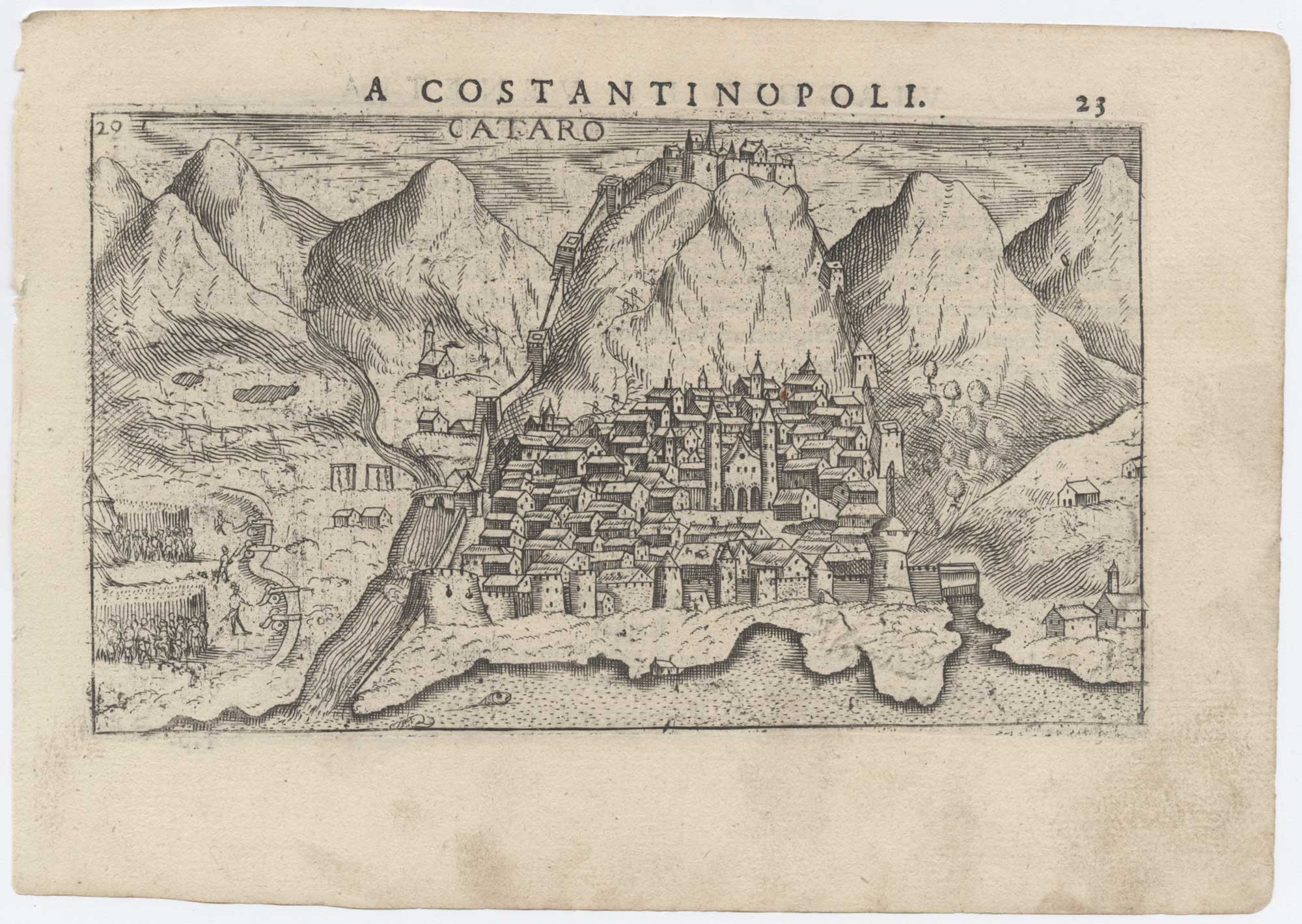
A 16th century map of Kotor, Montenegro
ROSACCIO, Giuseppe. Date: 1598 Stock #: 25631 £220.00
Add to Wishlist
Add to Wishlist
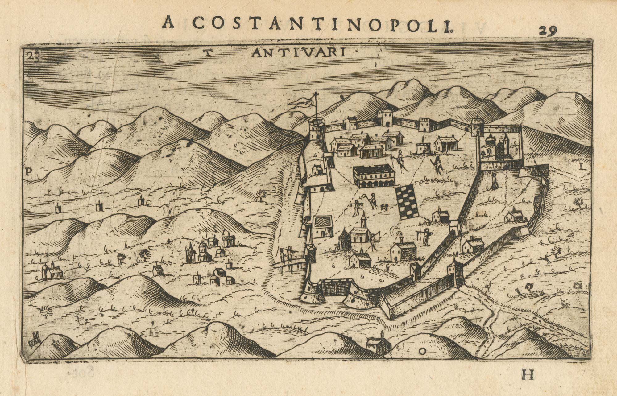
A 16th century Italian map of Bar, Montenegro
ROSACCIO, Giuseppe. Date: 1598 Stock #: 25042 £240.00
Add to Wishlist
Add to Wishlist
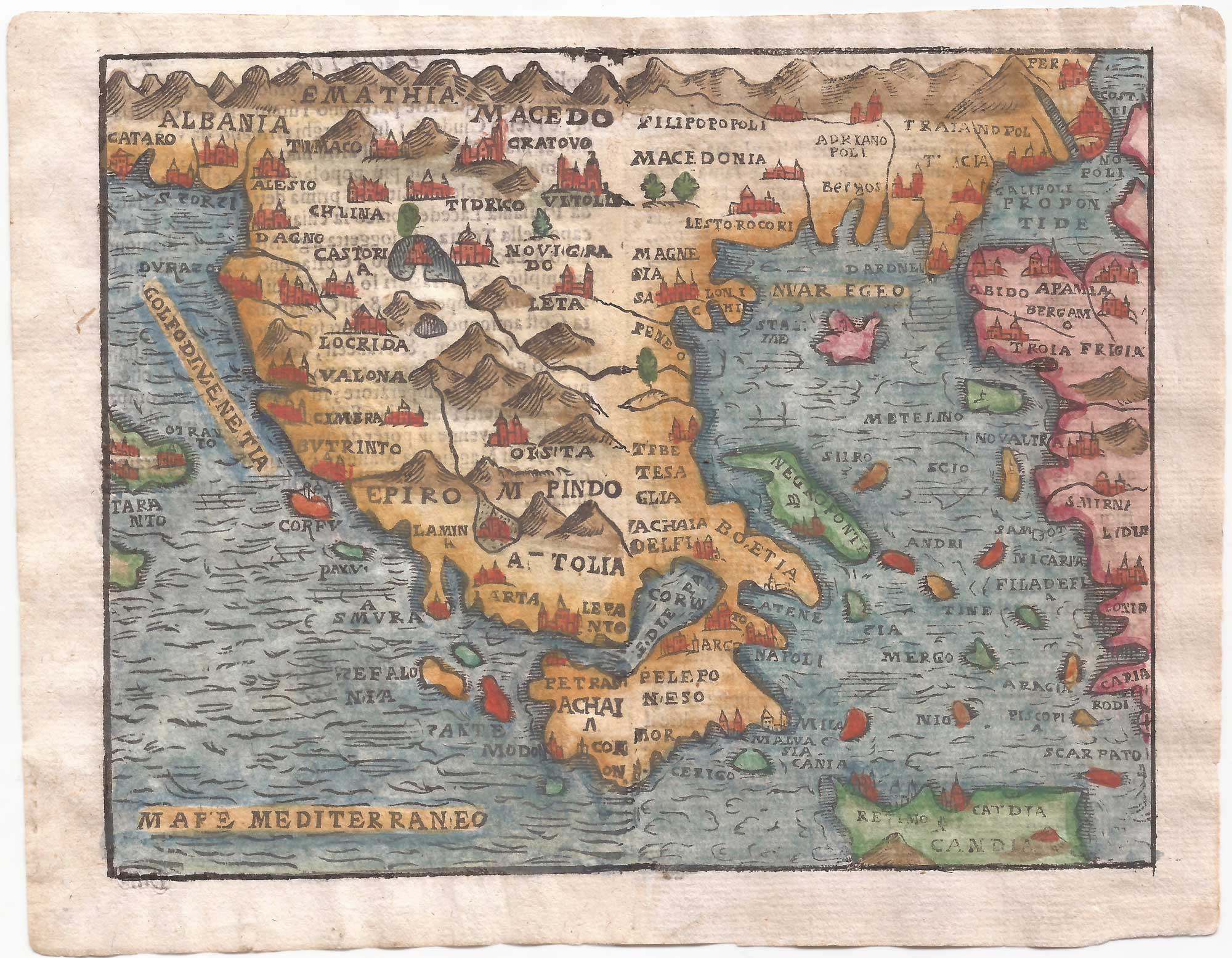
An uncommon woodcut map of Greece
ROSACCIO, Giuseppe. Date: 1615 Stock #: 22462 £200.00
Add to Wishlist
Add to Wishlist
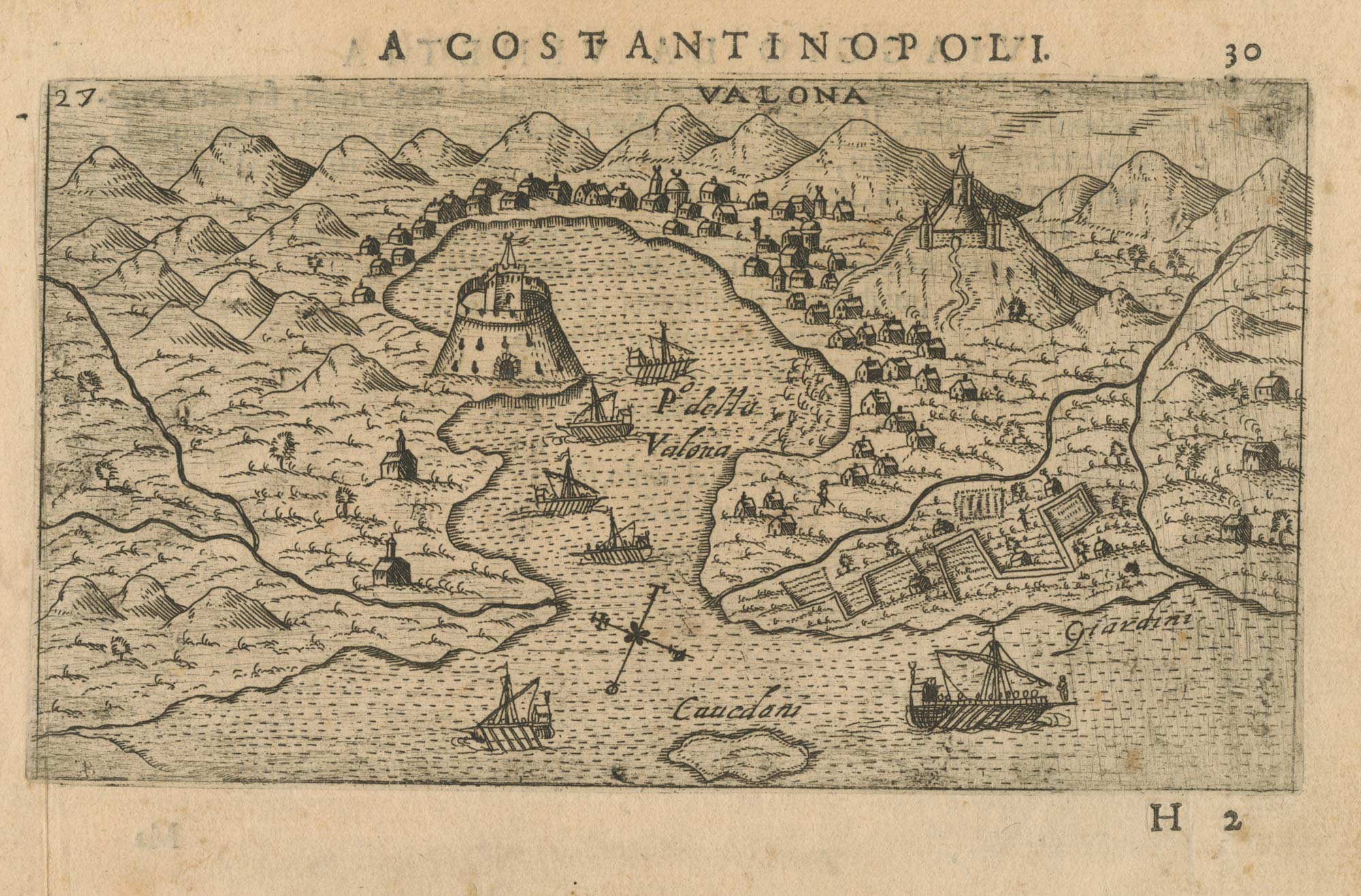
A 16th century map of the environs of Vlorë, Albania
ROSACCIO, Giuseppe. Date: 1598 Stock #: 25045 £250.00
Add to Wishlist
Add to Wishlist