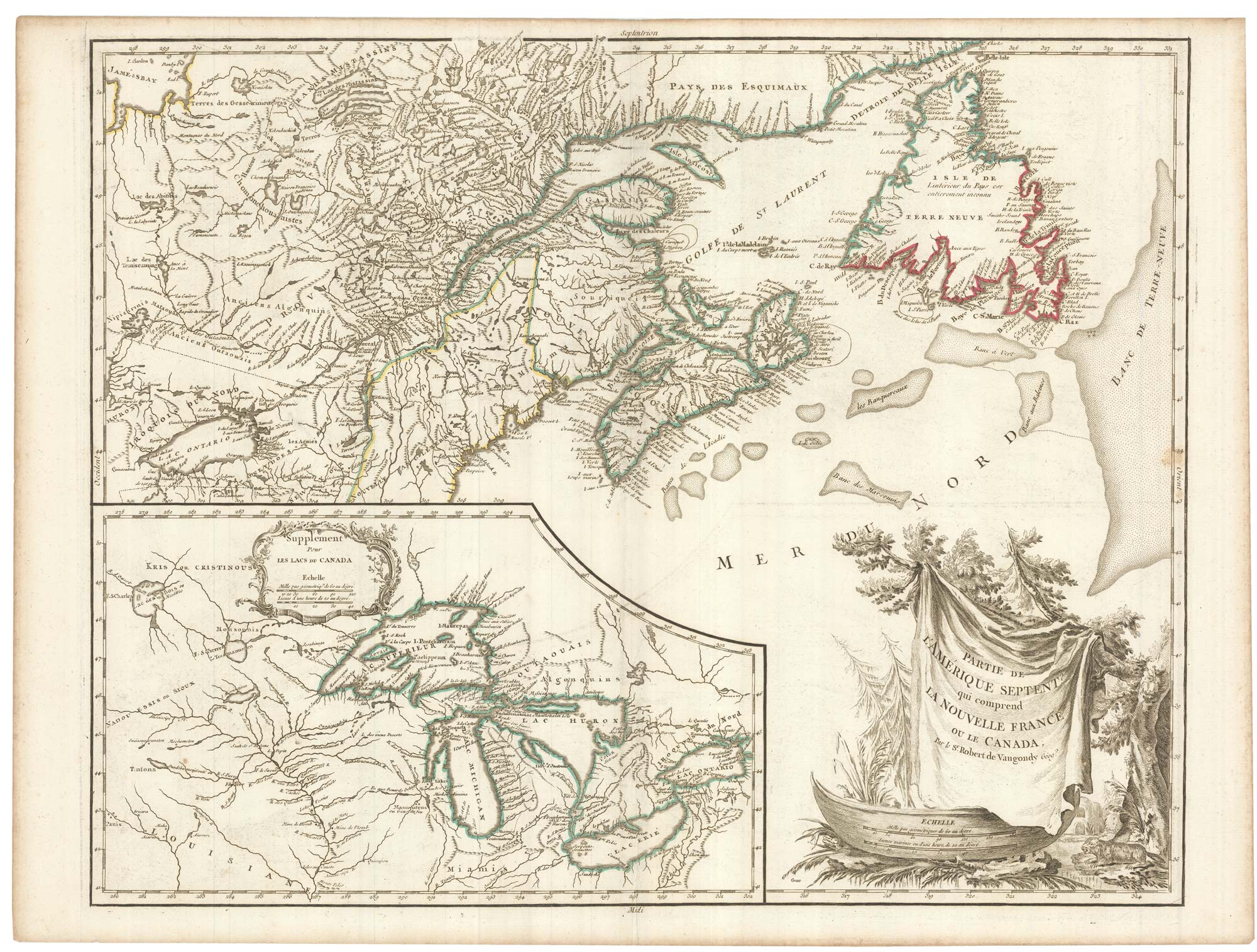


A late 18th century map of Canada and the Great Lakes
Partie de L'Amérique Septent. qui comprend La Nouvelle France ou le Canada.
Paris: Jean C;laude Dezauche, c.1793. Original outline colour. 490 x 610mm.
£550.00
1 in stock
x
Question About This Item?
A late 18th century map of Canada and the Great Lakes & ROBERT DE VAUGONDY, Didier.Stock #: 23279
Add to Wishlist
Export as PDFEnquireSimilar to Sell?Add to Wishlist
Description
A map of eastern Canada, with Newfoundland and Nova Scotia, with an inset of the Great Lakes and the Upper Mississippi. The decorative title cartouche features a canoe and beaver.
Condition:
A good example.Related products
-
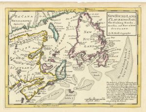
A map of Newfoundland according to the Treaty of Utrecht
MOLL, Herman. Date: 1732Stock #: 25654 £400.00 -
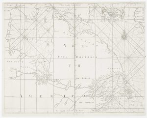
An early English chart of northern Canada with Hudson Bay
THORNTON, John. Date: 1748Stock #: 15550 £300.00 -
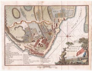
A detailed plan of Quebec
ANDREWS, John. Date: 1798Stock #: 22463 £160.00 -

A 17th century prospect of Quebec
MALLET, Alain Manesson. Date: 1683Stock #: 24710 £220.00 -
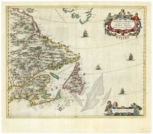
A scarce 17th century map of Newfoundland and Nova Scotia
BLAEU, Johannes. Date: 1662Stock #: 22716 £1,500.00 -
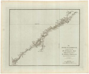
A detailed 18th century plan of the St Lawrence River
HARRISON, John. Date: 1784Stock #: 22812 £420.00 -

A rare playing card of Canada with a view of Quebec
Anonymous. Date: 1680Stock #: 25025 £450.00 -
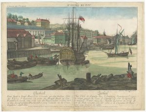
An 18th century ‘vue d’optique’ of Quebec
LEIZELT, Balthasar Frederick. Date: 1775Stock #: 24523 £750.00 -
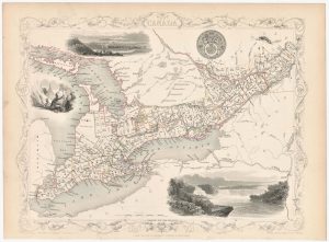
A mid 19th century map of West Canada with vignettes
TALLIS, John. Date: 1851Stock #: 23498 £160.00
Items by the same author
Add to Wishlist
Add to Wishlist
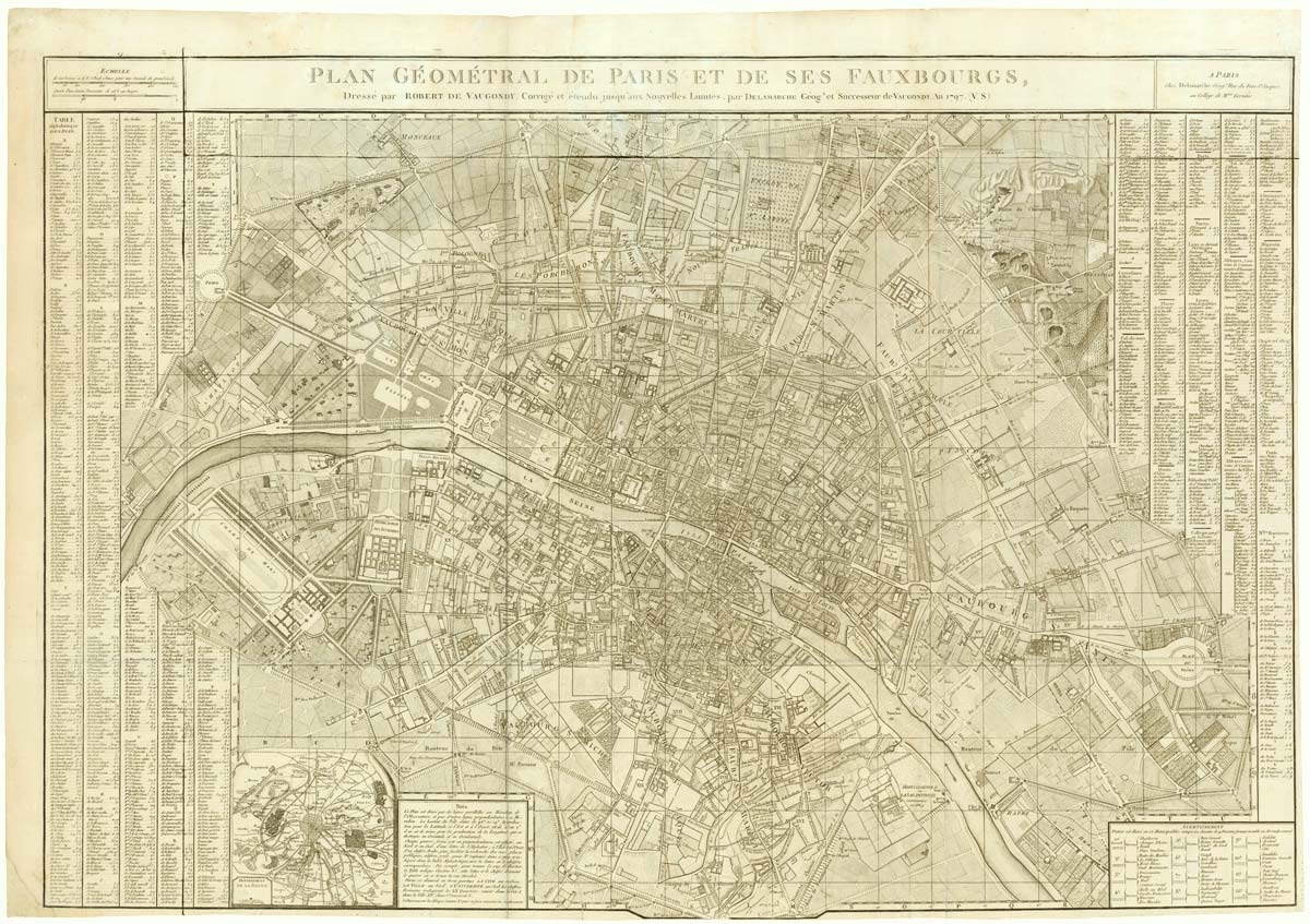
A large plan of Paris during the Rise of Napoleon
ROBERT DE VAUGONDY, Didier. Date: 1797 Stock #: 20620 £1,000.00
Add to Wishlist
Add to Wishlist
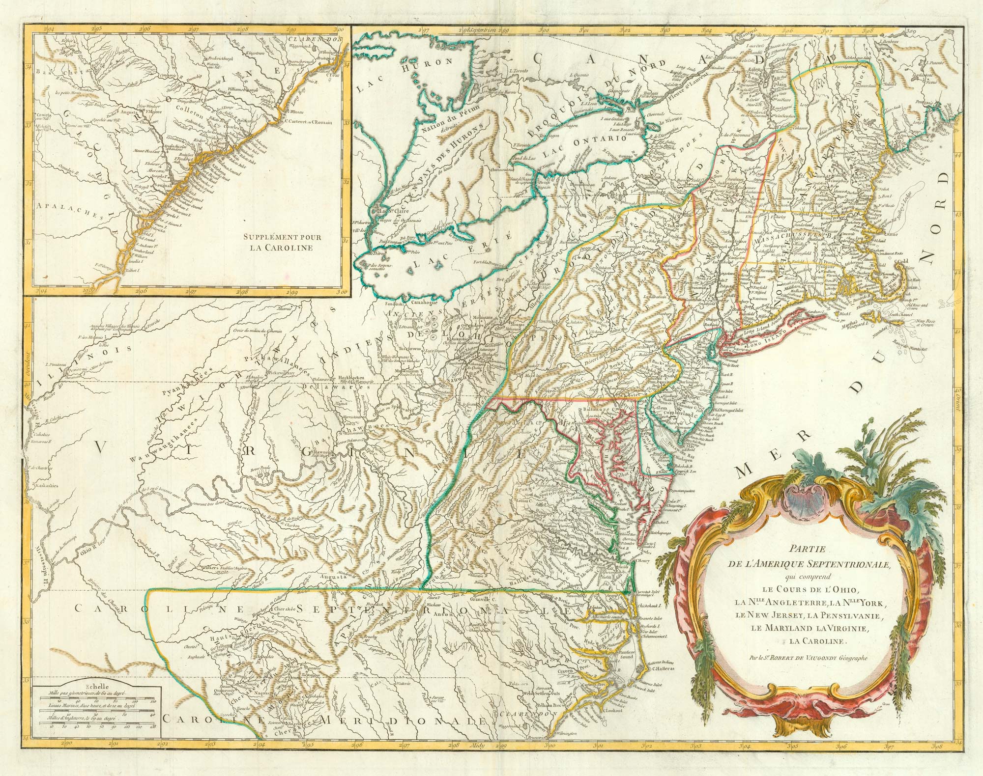
18th century map of the Eastern Seaboard
ROBERT DE VAUGONDY, Didier. Date: 1770 Stock #: 24555 £750.00
Add to Wishlist
Add to Wishlist
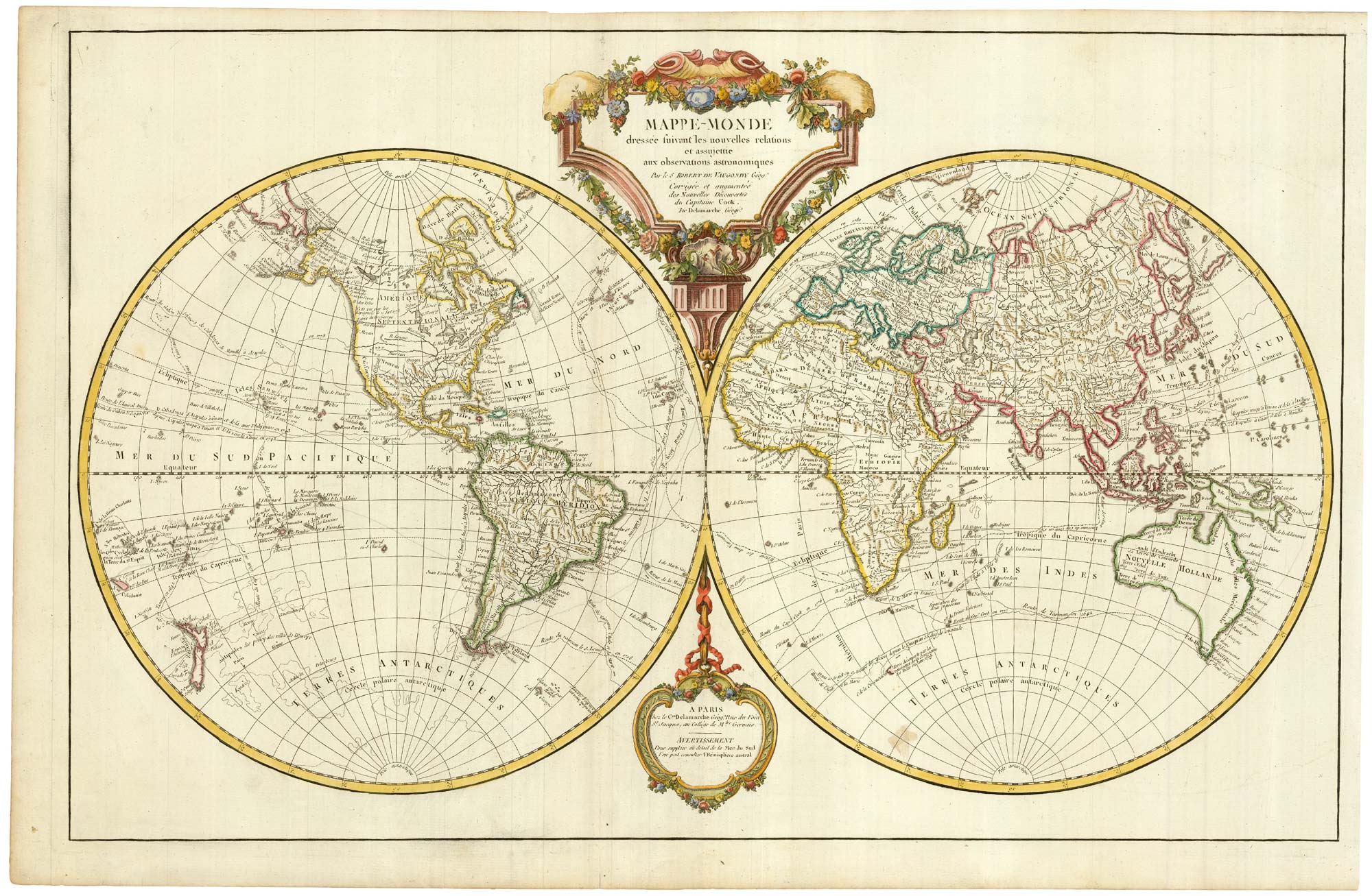
An important world map, updated to include Cook's three voyages
ROBERT DE VAUGONDY, Didier. Date: 1792 Stock #: 23209 £1,600.00
Add to Wishlist
Add to Wishlist