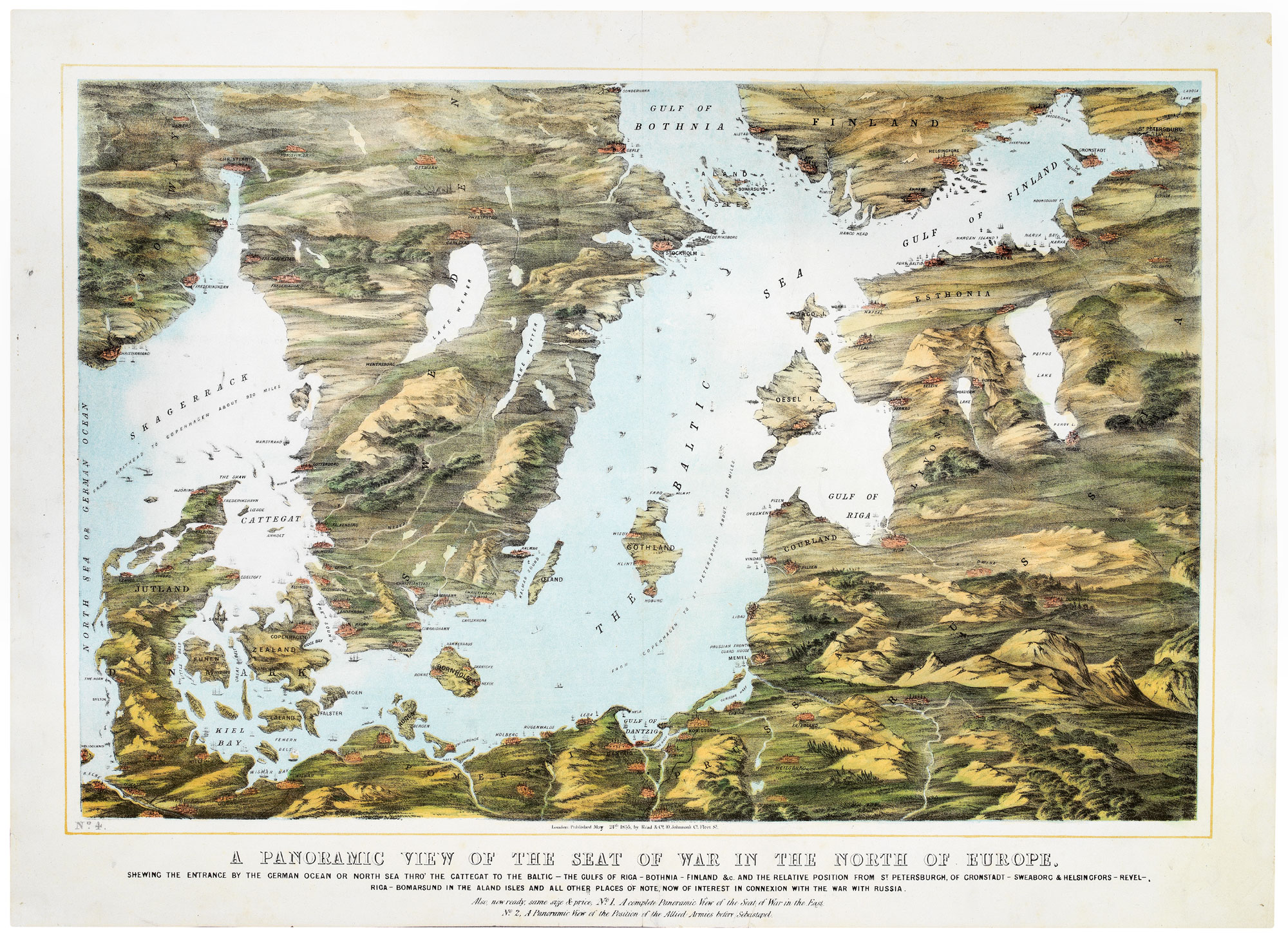


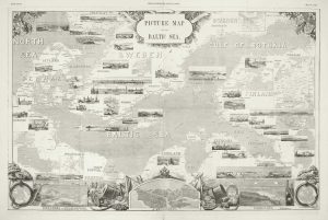
A map-view of the Baltic Sea during the Crimean War
A Panoramic View of the Seat of War in the North of Europe. Shewing the Entrance by the German Ocean or North Sea Thro' the Cattegat to the Baltic - The Gulfs of Riga - Bothnia - Finland &c. And the Relative Position from St Peetersburgh, of Cronstadt - Sweaborg & Helsingfors - Revel - Riga - Bomarsund in the Aland Isles and all other places of note, now of interest in connexion with the war with Russia. No.4.
London: Read & Co, 1855. Chromolithograph. Sheet 530 x 735mm.
£750.00
1 in stock
x
Question About This Item?
A map-view of the Baltic Sea during the Crimean War & READ & Co.Stock #: 20828
Add to Wishlist
Export as PDFEnquireSimilar to Sell?Add to Wishlist
Description
A map of the Baltic theatre of the Crimean War (1853-56), drawn as if looking down from an elevated point above Germany.
During the war Britain and France sent a fleet into the Baltic to try to lure the weaker Russian navy out for a sea-battle. The Russians could not be tempted away from the shelter of the heavily-fortified island fortress of Cronstad, leaving the expedition's leader, Sir Charles Napier', to be pilloried in the British press for his inaction.
Condition:
Small repairs to centre fold split and tear in margin.Related products
-
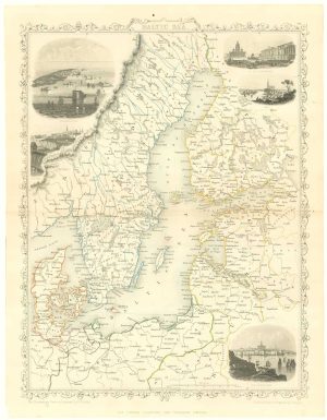
Mid 19th century map of the Baltic Sea
TALLIS, John. Date: 1860Stock #: 18556 £100.00 -
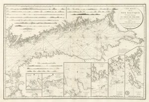
A sea chart of the Gulf of Finland published the year of Waterloo
Dépôt des Cartes et Plans de la Marine. Date: 1815Stock #: 18865 £1,000.00 -
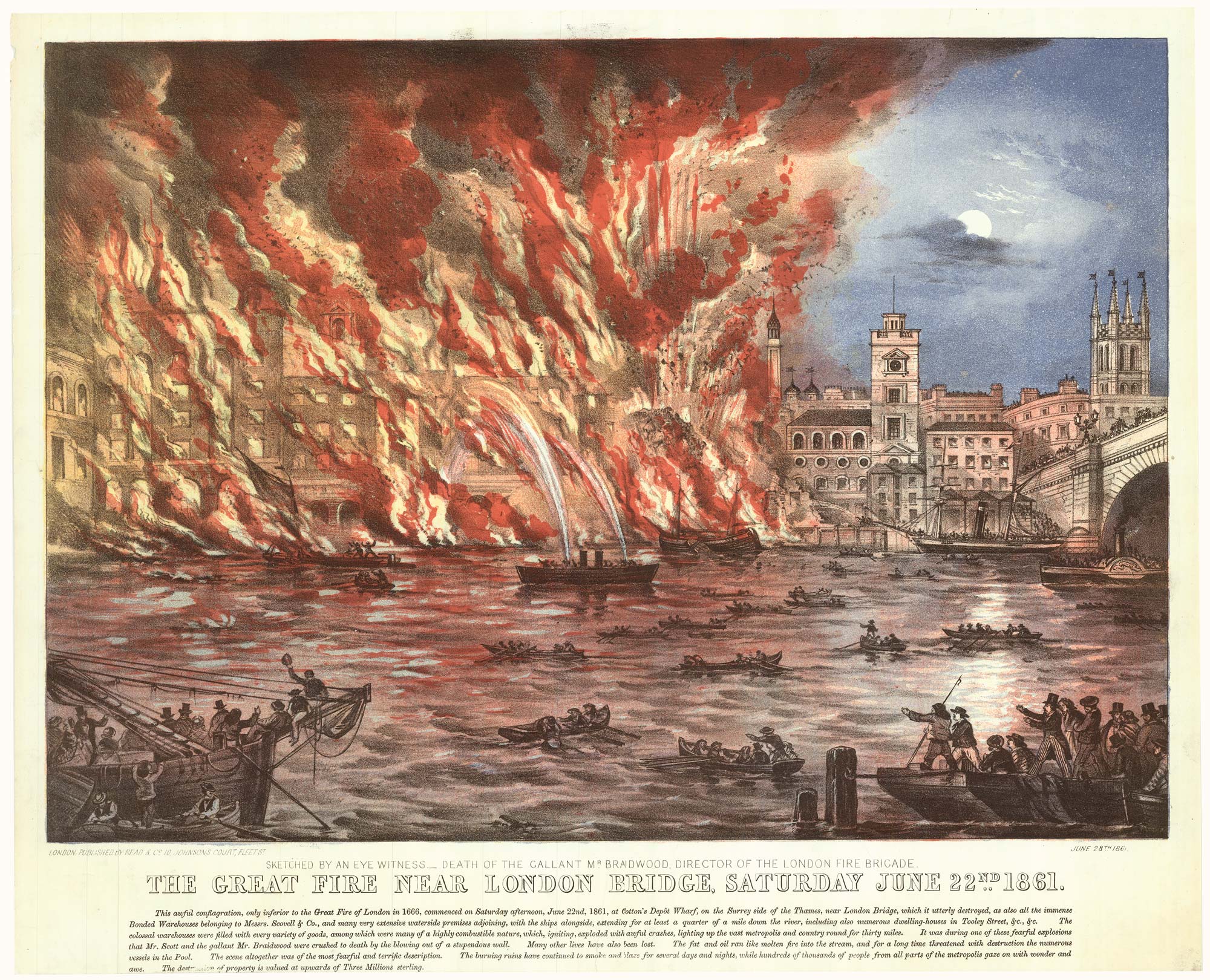
A pictorial map of the Baltic theatre of the Crimean War
ILLUSTRATED LONDON NEWS. Date: 1856Stock #: 10369 £325.00
Items by the same author
Add to Wishlist
Add to Wishlist