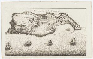
The British attack on the French Colony of St Louis, Senegal
Grundriss von dem Fort St Louis auf dem Eylande der Sanaga oder Senegal.
Nuremberg, Raspe, c.1760. Original colour. 220 x 370mm.
£200.00
1 in stock
x
Question About This Item?
The British attack on the French Colony of St Louis, Senegal & RASPE, Gabriel Nikolaus.Stock #: 12902
Add to Wishlist
Export as PDFEnquireSimilar to Sell?Add to Wishlist
Description
A scarce map of the French Fort St Louis, Senegal, published in Raspe's 'Schau Platz des gegenwaertigen Kriegs' (Plates illustrating the Current Wars). It was the first permanent French settlement in Africa, an important trading post for slaves, hides, beeswax & ambergris. As such it became a target for the British during the Seven Years' War.
In a plan devised by an American merchant, Thomas Cumming, two warships and 200 men suprised the French and took it without loss, striking a serious blow to the French economy. The British kept St Louis at the end of the war but the French recaptured it in 1779 during the American War of Independence and Britain signed it away in the 1783 Treaty of Paris.
Condition:
Stitch holes in left margin.Related products
-
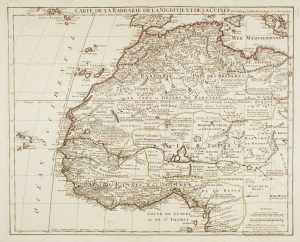
Early 18th century map of Congo & Angola
AA, Pieter van der. Date: 1720Stock #: 19131 £220.00 -
A 16th century miniature map of Guinea
LANGENES, Barent. Date: 1599Stock #: 21296 £120.00 -
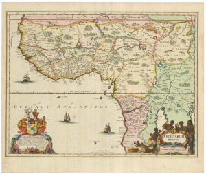
The Nova Scotian Settlers on Bolama
WADSTROM, Carl Bernard. Date: 1795Stock #: 25181 £600.00 -
An uncommon Spanish sea chart of Gabon, the Congo and Angola
BREGANTE, S. Date: 1870Stock #: 18238 £700.00 -
An Abolitionist’s map of Sierra Leone
WADSTROM, Carl Bernard. Date: 1795Stock #: 25184 £3,500.00 -
Du Val’s folio map of the slave forts of the Gulf of Guinea
DU VAL, Pierre. Date: 1671Stock #: 23256 £480.00 -
Map of the island of Gorée to illustrate news of the Seven Years’ War
Anonymous. Date: 1759Stock #: 14901 £100.00 -
Large map of West Africa published at the end of the 18th century
DELISLE, Guillaume. Date: 1798Stock #: 14029 £300.00 -
A 17th century old map of the Gulf of Guinea in West Africa
JANSSON, Jan. Date: 1680Stock #: 23630 £500.00
Items by the same author
Add to Wishlist
Add to Wishlist

The British 'Descent' on St Malo during the Seven Years' War
RASPE, Gabriel Nikolaus. Date: 1760 Stock #: 18856 £250.00
Add to Wishlist
Add to Wishlist
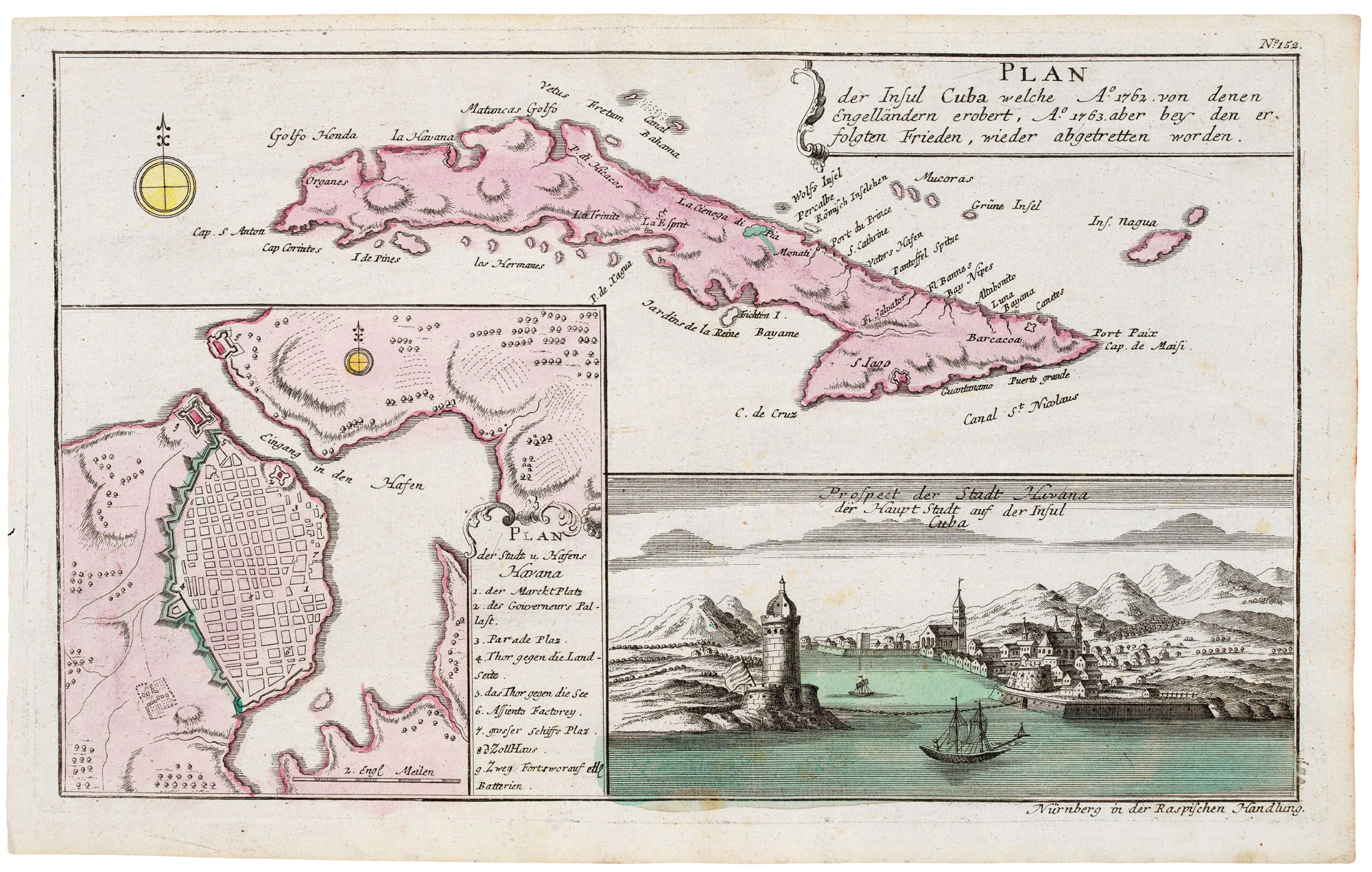
Cuba, during the Seven Years' War
RASPE, Gabriel Nikolaus. Date: 1763 Stock #: 20680 £350.00
Add to Wishlist
Add to Wishlist

The Battle of Burkersdorf during the Seven Years' War
RASPE, Gabriel Nikolaus. Date: 1762 Stock #: 12939 £250.00
Add to Wishlist
Add to Wishlist