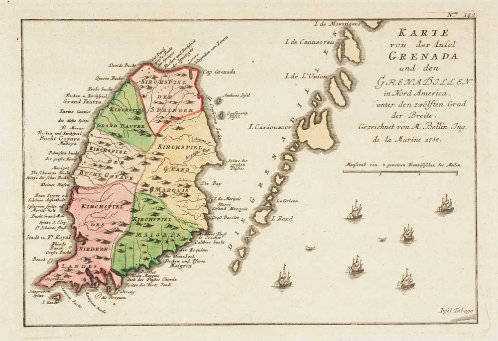


Map of Grenada during the Seven Years’ War
Karte von der Insel Grenada und den Grenadillen in Nord America, unter den Zwölsten Grad der Breite.
Nuremberg, Raspe, c.1762. Original colour. 225 x 300mm.
£160.00
1 in stock
x
Question About This Item?
Map of Grenada during the Seven Years’ War & RASPE, Gabriel Nikolaus.Stock #: 12916
Add to Wishlist
Export as PDFEnquireSimilar to Sell?Add to Wishlist
Description
A scarce map of Grenada and the Grenadines after Bellin, published in Raspe's 'Schau Platz des gegenwaertigen Kriegs' (Plates illustrating the Current Wars).
After the British had driven the French from Canada their attention was turned to their colonies in the West Indies. A fleet under Admiral George Rodney captured the French islands of Martinique, St Lucia and Grenada in early 1762, before moving on to Spanish-held Cuba, capturing Havana. Grenada & St Lucia were formally ceded to Britain by the Treaty of Paris in 1763, Martinique and Havana returned.
Condition:
Stitch holes in left margin.Related products
Items by the same author
Add to Wishlist
Add to Wishlist

The British 'Descent' on St Malo during the Seven Years' War
RASPE, Gabriel Nikolaus. Date: 1760 Stock #: 18856 £250.00
Add to Wishlist
Add to Wishlist
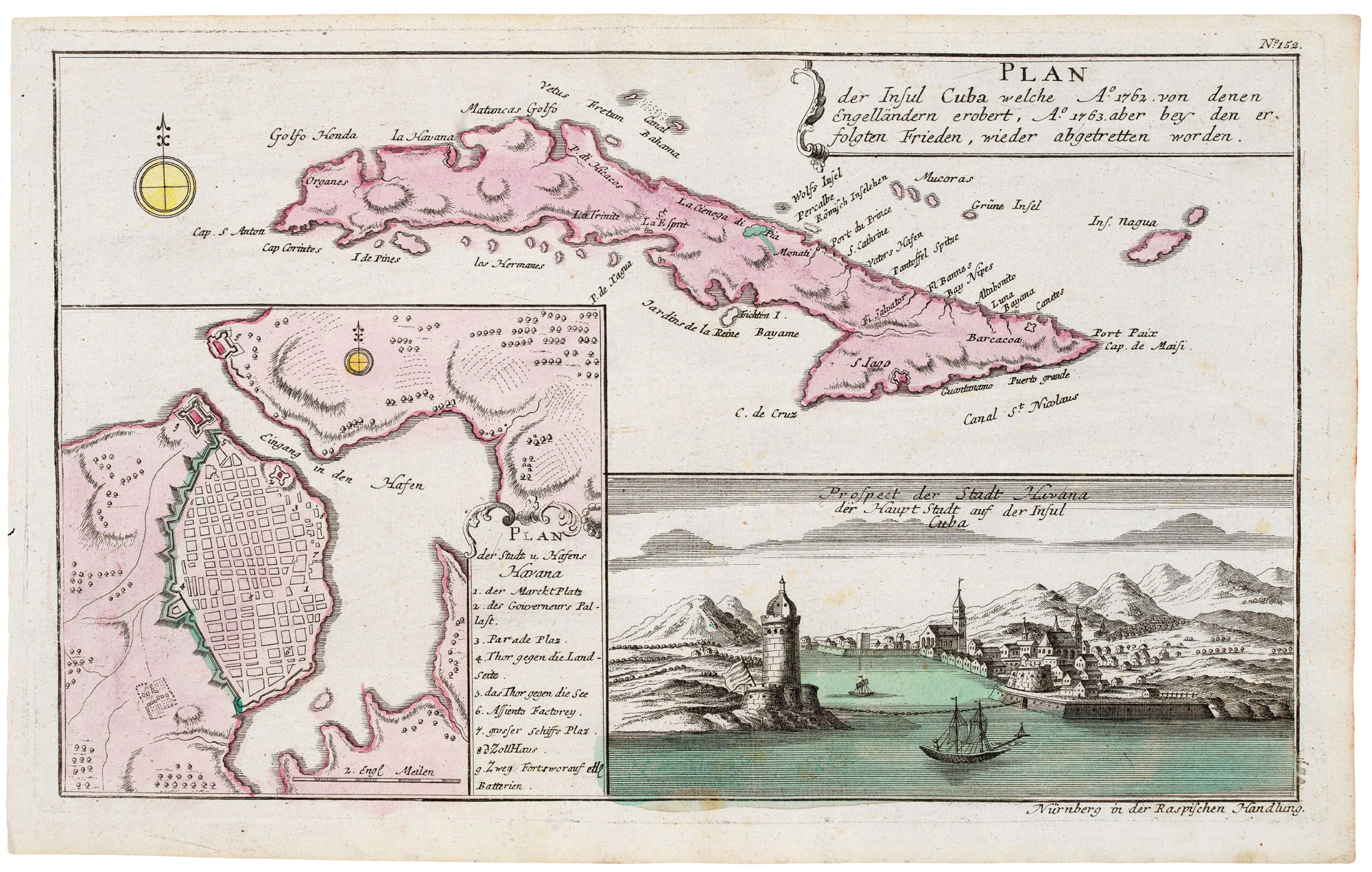
Cuba, during the Seven Years' War
RASPE, Gabriel Nikolaus. Date: 1763 Stock #: 20680 £350.00
Add to Wishlist
Add to Wishlist

The Battle of Burkersdorf during the Seven Years' War
RASPE, Gabriel Nikolaus. Date: 1762 Stock #: 12939 £250.00
Add to Wishlist
Add to Wishlist
