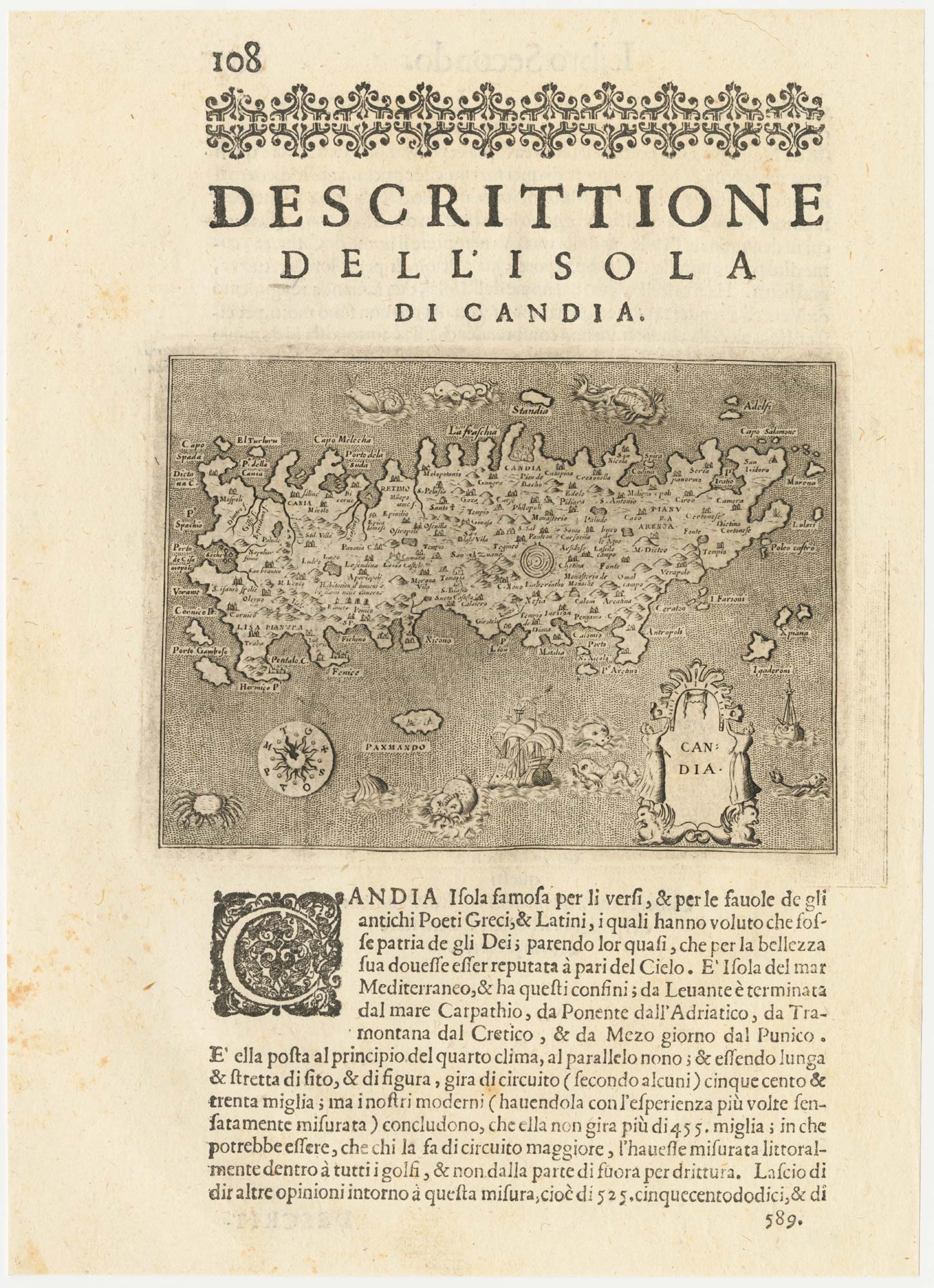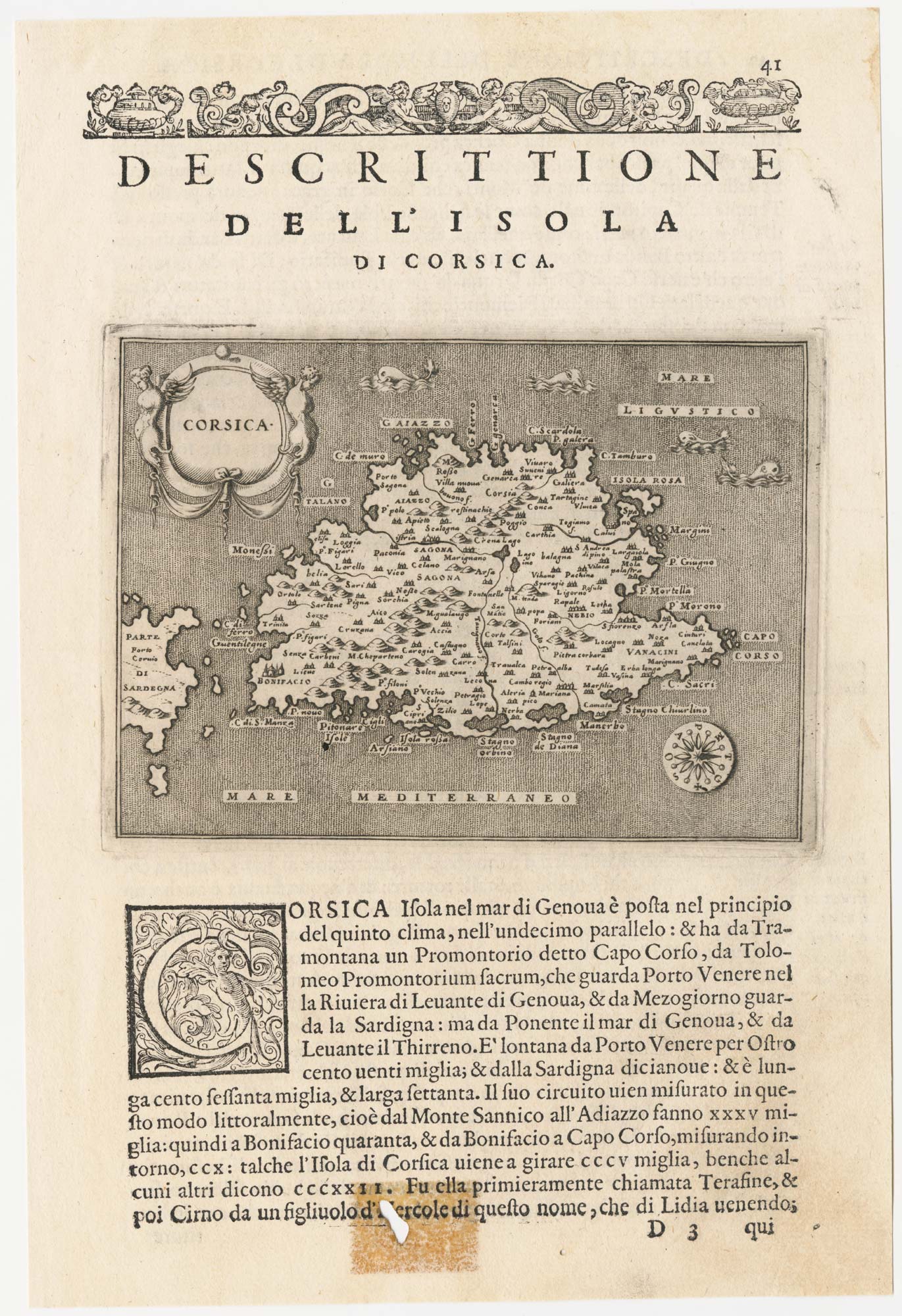


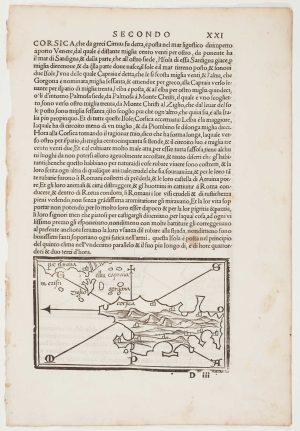
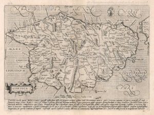
A 16th century map of Corsica
Corsica.
Venice, c.1590. 110 x 150mm, set in text.
£260.00
Description
An early map of Corsica, orientated with north to the right, with a descriptive text in Italian. Engraved by Girolamo Porro of Padua, the map was published in Porcacchi's 'L'Isole del Mondo', first published in 1572.
Condition:
Worm hole at the bottom affecting last line of text, but not affecting printed imageRelated products
-
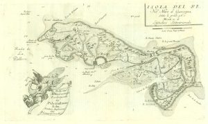
17th century map of the Ile de Ré
CORONELLI, Vincenzo Maria. Date: 1690Stock #: 19540 £260.00 -
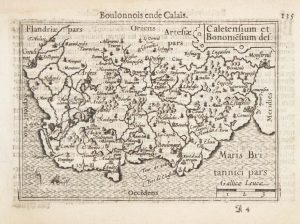
A 16th century miniature map of northern Picardy
LANGENES, Barent. Date: 1599Stock #: 21145 £60.00 -
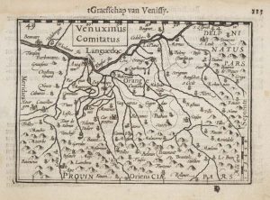
A 16th century miniature map of the Comtat Venaissin
LANGENES, Barent. Date: 1599Stock #: 21137 £55.00 -
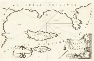
A map of Saint Marguerite with Cannes and Antibes
CORONELLI, Vincenzo Maria. Date: 1690Stock #: 20625 £280.00 -
The first printed map of Corsica
BORDONE, Benedetto. Date: 1534Stock #: 11217 £800.00 -
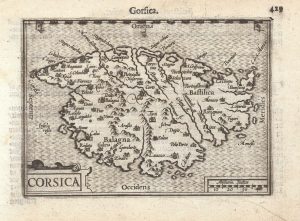
A 16th century miniature map of Corsica
LANGENES, Barent. Date: 1599Stock #: 21311 £280.00 -
The first issue of Quad’s map of Corsica
QUAD, Matthias. Date: 1600Stock #: 18348 £425.00 -
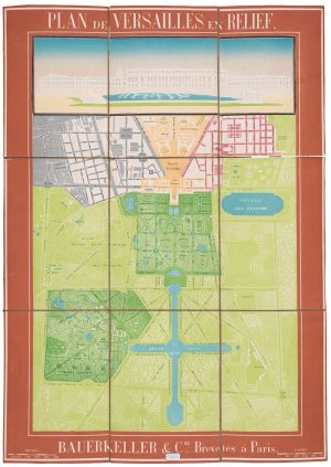
A scarce relief plan of the gardens of Versailles
BAUERKELLER et C.ie. Date: 1860Stock #: 20635 £800.00 -
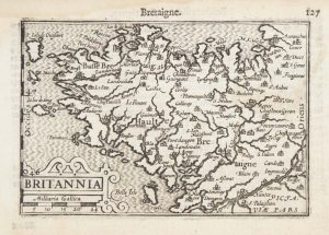
A 16th century miniature map of Brittany
LANGENES, Barent. Date: 1599Stock #: 21143 £70.00
Items by the same author
Add to Wishlist
Add to Wishlist
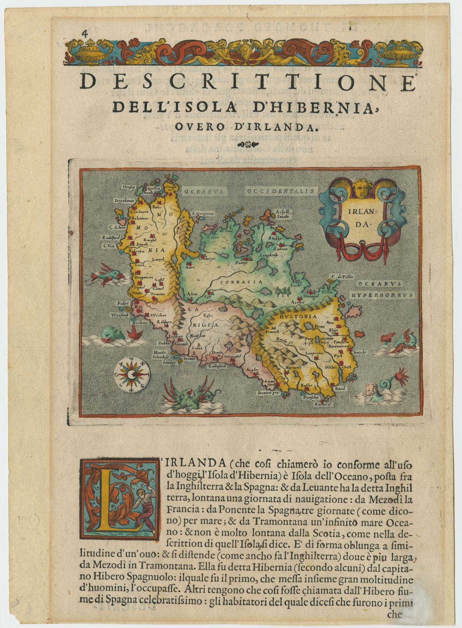
A 16th century map of Ireland with sea-monsters
PORCACCHI, Tomaso. Date: 1576 Stock #: 24013 £300.00
Add to Wishlist
Add to Wishlist
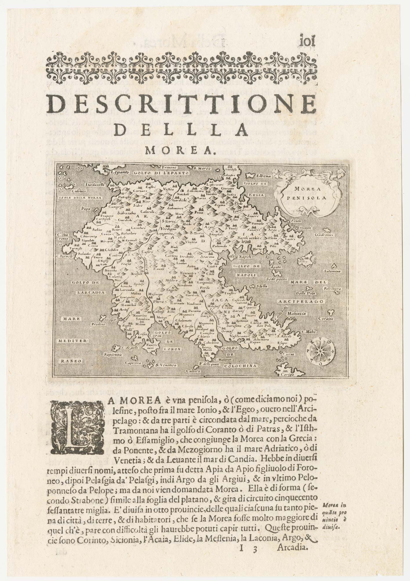
A 16th century map of the Morea
PORCACCHI, Tomaso. Date: 1590 Stock #: 23215 £120.00
Add to Wishlist
Add to Wishlist
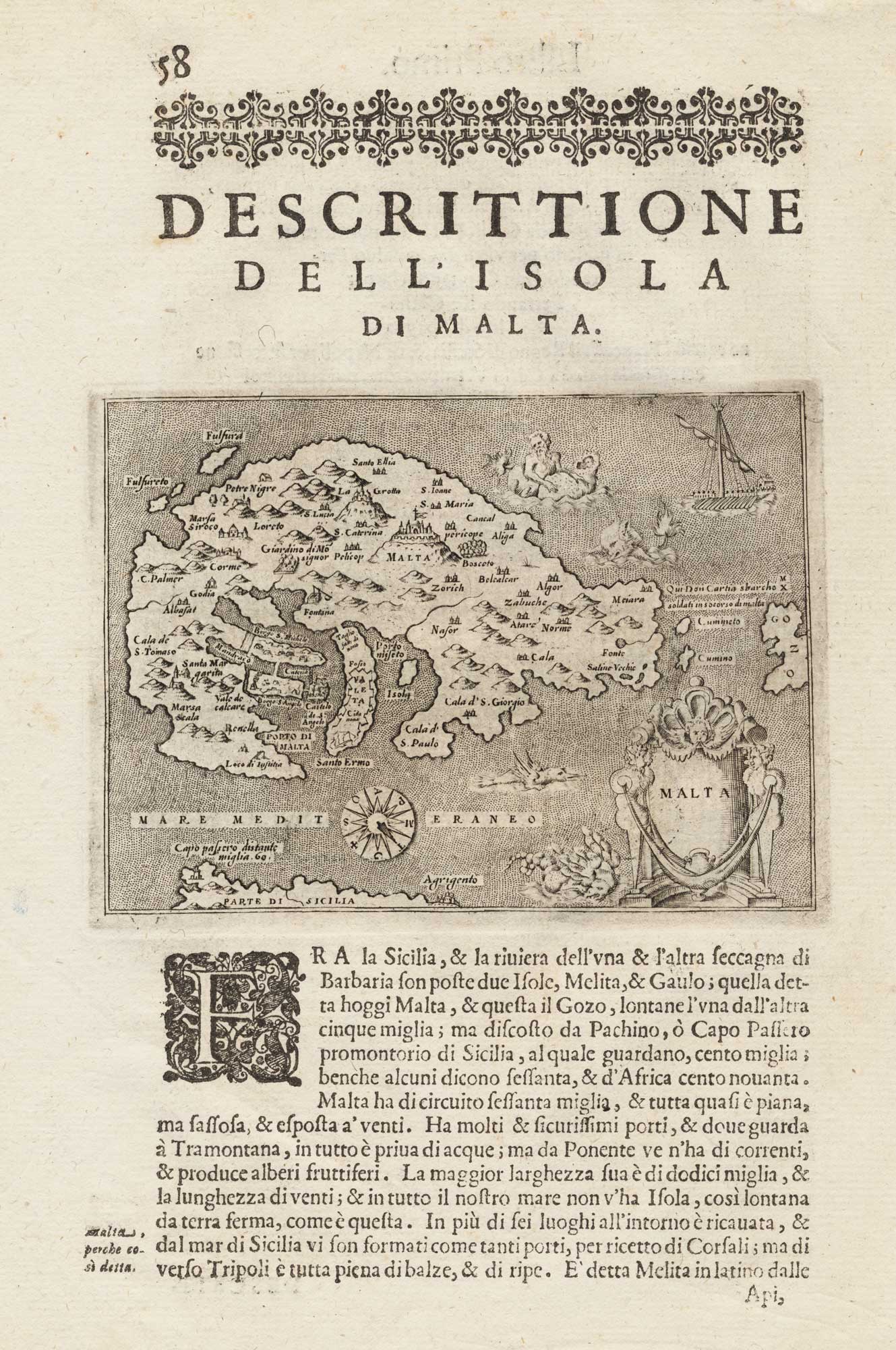
Early map of the island of Malta
PORCACCHI, Tomaso. Date: 1590 Stock #: 15506 £275.00
Add to Wishlist
Add to Wishlist
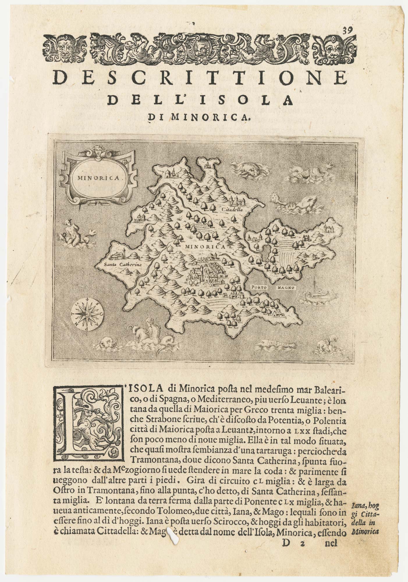
A 16th century map of Minorca
PORCACCHI, Tomaso. Date: 1590 Stock #: 23211 £180.00
Add to Wishlist
Add to Wishlist
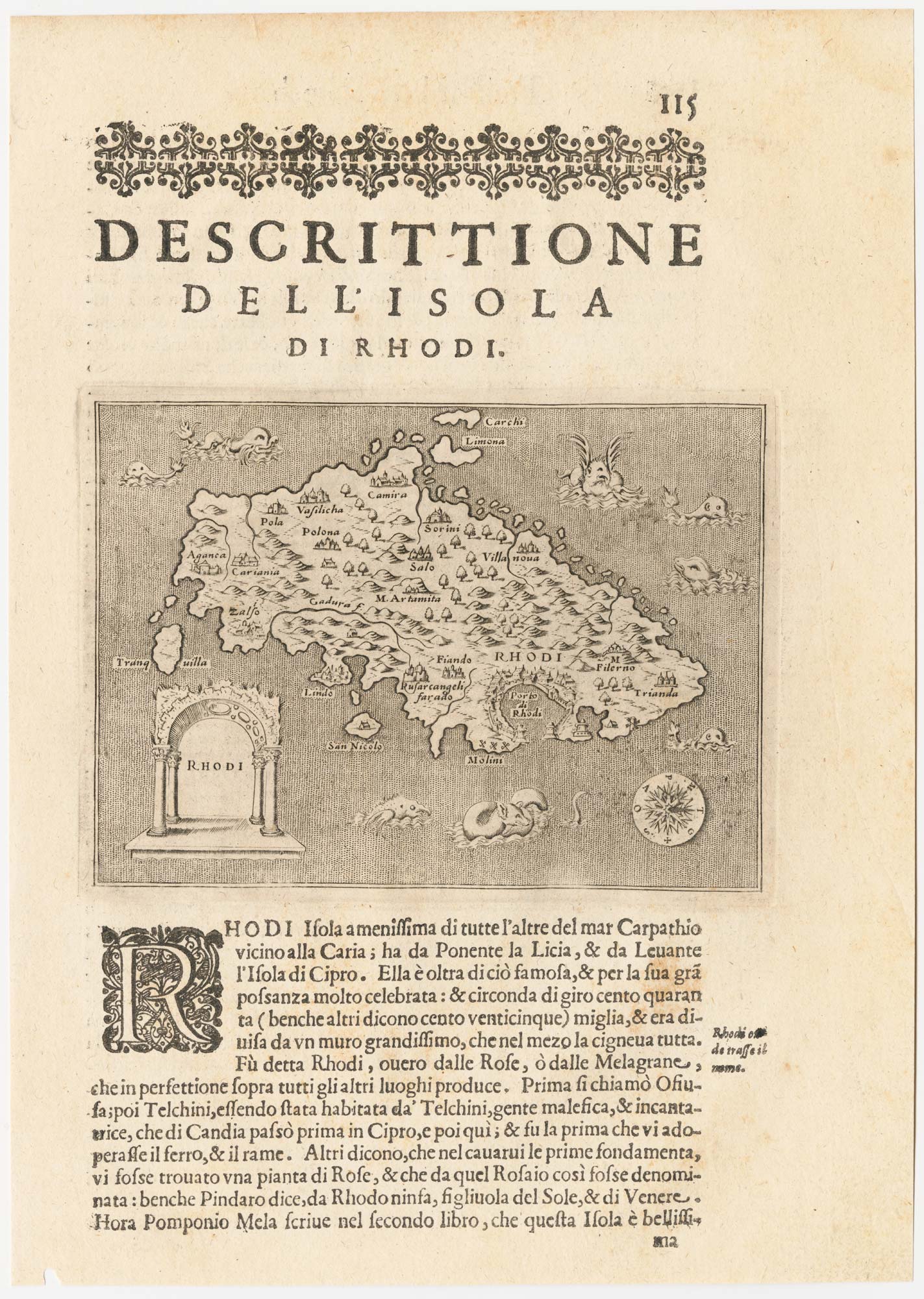
A 16th century map of Rhodes
PORCACCHI, Tomaso. Date: 1590 Stock #: 23213 £120.00
Add to Wishlist
Add to Wishlist