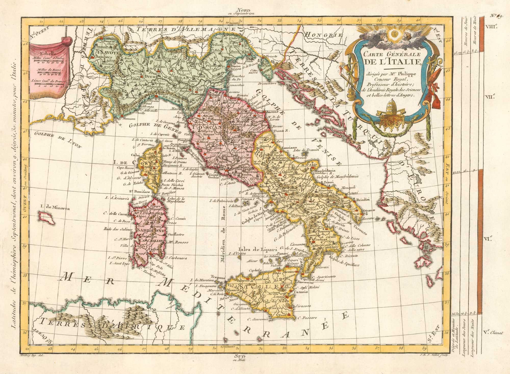


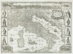
18th century map of Italy
Carte Générale de L'Italie...
Paris, 1787. Coloured. 280 x 420mm.
£500.00
1 in stock
x
Question About This Item?
18th century map of Italy & PHILIPPE DE PRETOT, Etienne André.Stock #: 19327
Add to Wishlist
Export as PDFEnquireSimilar to Sell?Add to Wishlist
Description
Eighteenth century map of Italy, drawn by the mathematician and geographer, Maurille-Antoine Moithey. The title cartouche is decorated with the papal coat of arms.
Condition:
A good example.Related products
-
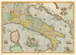
Classic 16th century map of Italy in fine colour
ORTELIUS, Abraham. Date: 1595Stock #: 24917 £1,400.00 -
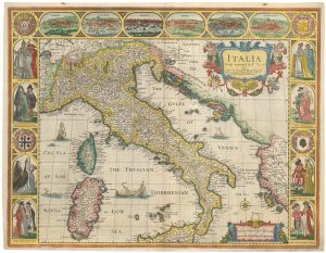
The famous 17th century map of Italy by John Speed
SPEED, John. Date: 1665Stock #: 23988 £2,500.00 -
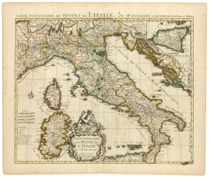
18th century map of Italy marking postal routes
BAUDRAND, Michel Antoine. Date: 1750Stock #: 23207 £900.00 -
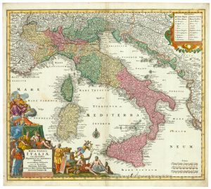
18th century decorative map of Italy
SEUTTER, Matthaus. Date: 1740Stock #: 24614 £550.00 -
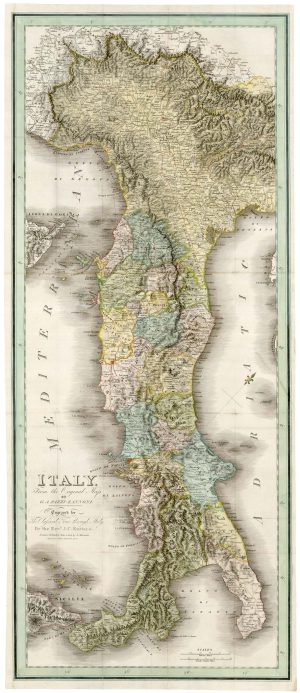
A very unusual ‘vertical’ map of Italy
RIZZI-ZANNONI, Giovanni Antonio. Date: 1814Stock #: 25053 £1,250.00 -
The first carte-à-figure map of Italy
BLAEU, Willem Janszoon. Date: 1640Stock #: 15244 £9,000.00 -
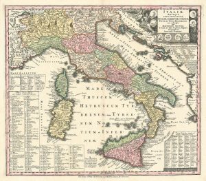
A Ptolemaic map of Italy
MERCATOR, Gerard. Date: 1695Stock #: 17073 £900.00 -
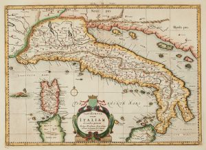
A map of classical Italy, in fine colour
SEUTTER, Matthaus. Date: 1740Stock #: 24829 £500.00 -
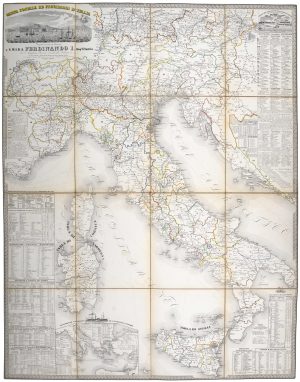
A mid-19th century map of the post roads of Italy
GARLATO, Giambattista. Date: 1844Stock #: 20642 £600.00
Items by the same author
Add to Wishlist
Add to Wishlist