


A wall map of the world from the early twentieth century
Philips' New Commercial Map of the World on Mercator's Projection
London: George Philip & Son for the London Geographical Institute, c.1920. Chromolithograph map, dissected and laid on linen as issued, total 1160 x 2155mm, red marbled endpapers.
£3,250.00
1 in stock
x
Question About This Item?
A wall map of the world from the early twentieth century & PHILIP, George.Stock #: 22878
Add to Wishlist
Export as PDFEnquireSimilar to Sell?Add to Wishlist
Description
A large world map showing the state of the globe following the First World War, within a decorative strapwork border. A coloured key indicates territories belonging to the colonial powers as well as those under mandate of the League of Nations. Shipping routes, railways and time zones are also shown.
Of interest is the redrawing of the map in the aftermath of the First World War, with the appearance of new countries like Czechoslovakia and Yugoslavia. Poland, given its independence, has three 'Areas for Plebiscite' (with the residents deciding whether to be Polish, German or Czech), and Gdansk is marked as the 'Free City of Danzig'.
Condition:
Some minor spottingRelated products
-
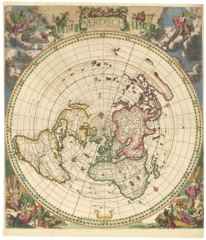
A superb map of the world in a single sphere
ROBYN, Jacob. Date: 1700Stock #: 24874 £9,000.00 -
An 18th century wall map of the world
CLOUET, Jean Baptiste Louis. Date: 1788Stock #: 24669 £22,500.00 -
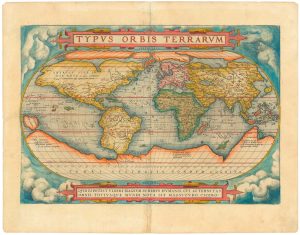
The first plate of Ortelius’s classic world map
ORTELIUS, Abraham. Date: 1579Stock #: 24435 £7,000.00 -
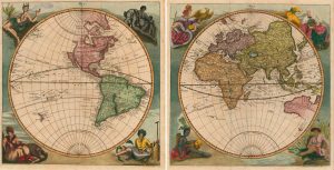
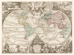
A pair of maps of the Western and Eastern hemispheres
HAPPEL, Eberhard Werner. Date: 1684Stock #: 24907 £3,250.00 -
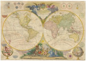
An 18th century wall map of the world
MOITHEY, Maurille Antoine. Date: 1785Stock #: 24720 £14,000.00 -
Double-hemisphere world with superbly decorated borders
BEAURAIN, Jean de. Date: 1766Stock #: 22349 £1,250.00 -
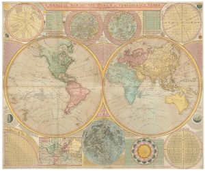
A late 18th century wall map of the world on four sheets
DUNN, Samuel. Date: 1799Stock #: 23965 £6,000.00 -
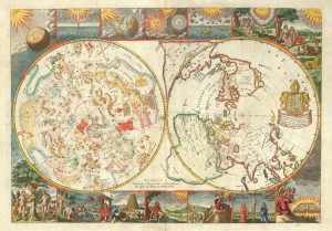
A rare 17th century English maps of the world and the heavens
MOXON, Joseph. Date: 1695Stock #: 25274 £3,200.00 -
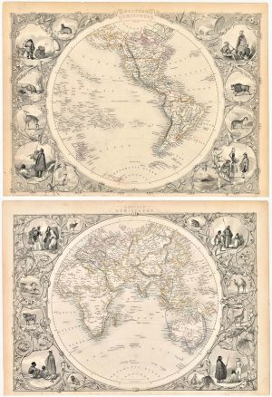
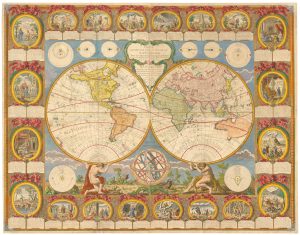
Pair of 19th century map of the world’s hemispheres
TALLIS, John. Date: 1851Stock #: 23387 £500.00
Items by the same author
Add to Wishlist
Add to Wishlist
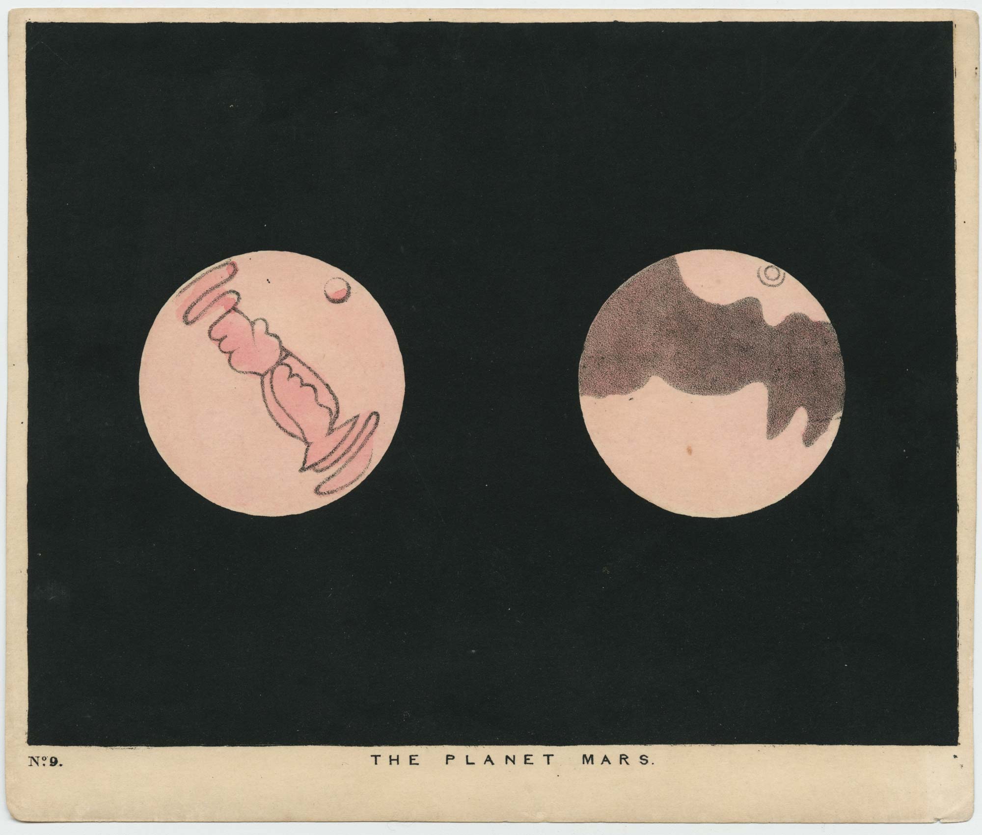
19th century illustration of the planet Saturn
PHILIP, George. Date: 1894 Stock #: 20782 £250.00
Add to Wishlist
Add to Wishlist
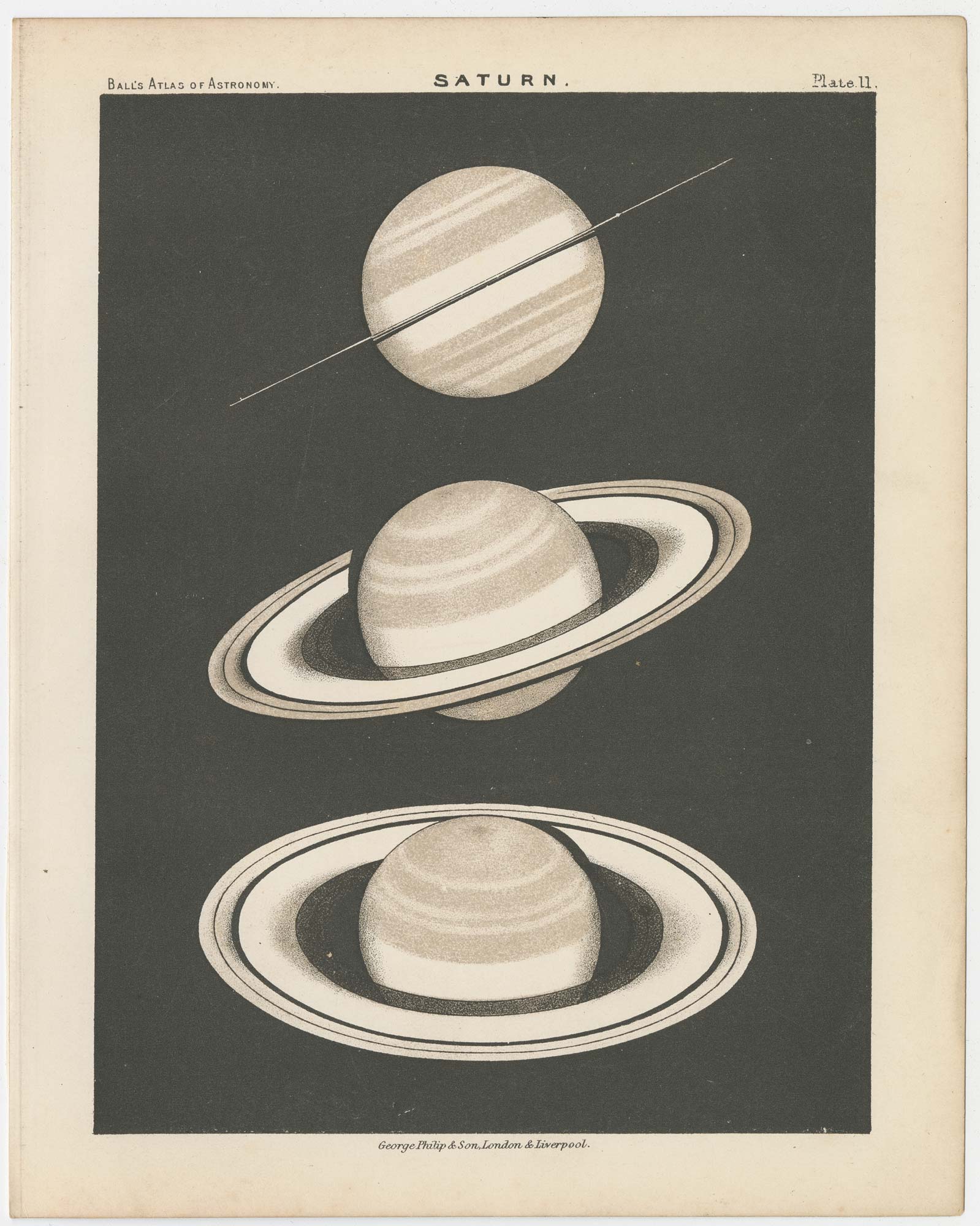
19th century chart of Saturn
PHILIP, George. Date: 1899 Stock #: 23009 £300.00
Add to Wishlist
Add to Wishlist
