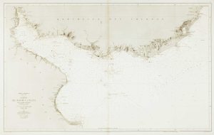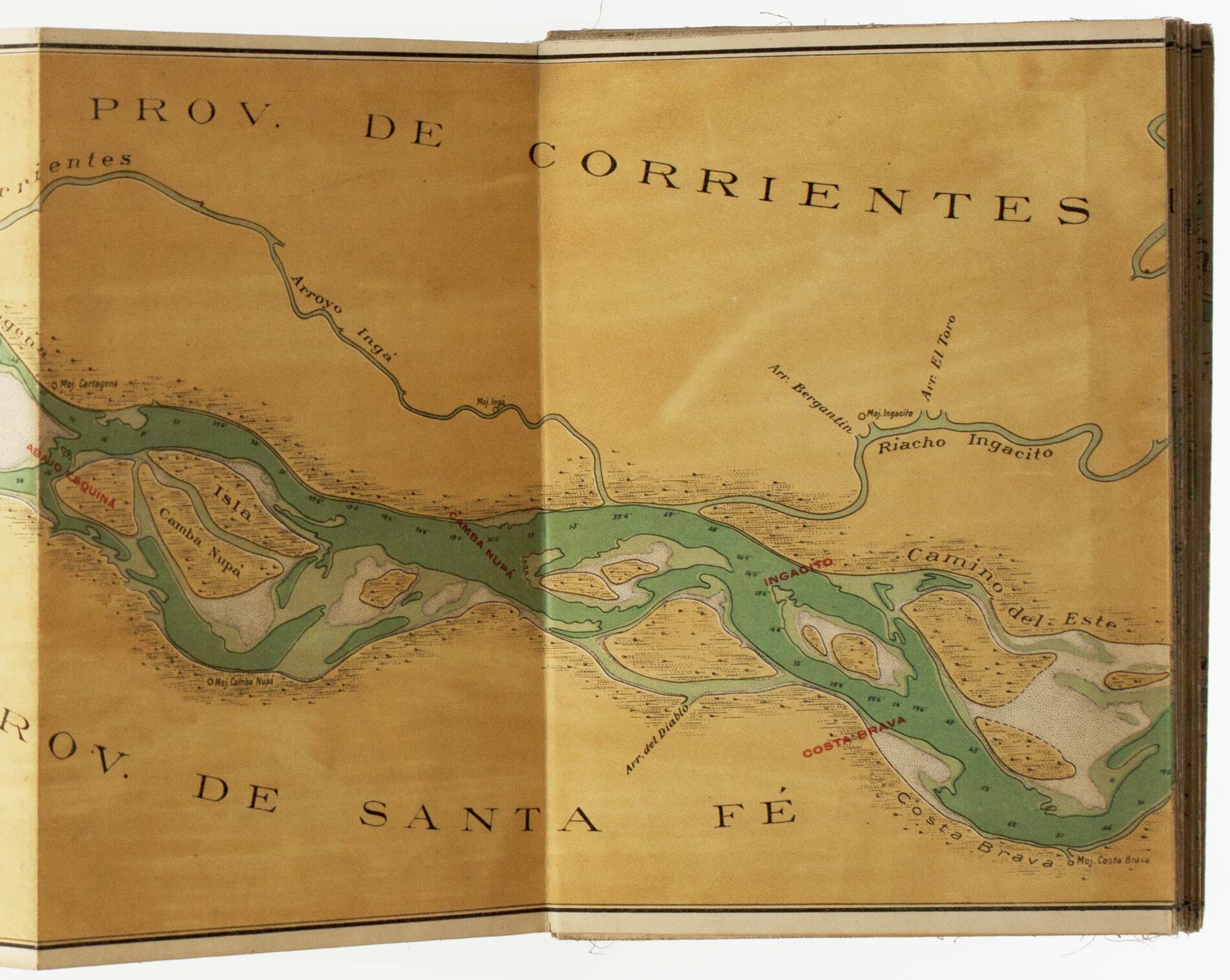

A detailed map of the Paraná River
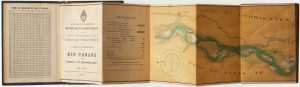
Plano de navegación del Rio Paraná entre Esquina y la Desembocadura.
Argentina: Direccion General de Navegación y Puertos, 1922. Coloured wood-engraving. Map 200 x 7020mm, folded into cloth covers with title, key, list of coordinates and distance table.
£650.00
Description
A seven-metre map of the Paraná River from Esquina to the Rio de la Plata on a scale of 1: 100,000. Every few panels there is an angled section, allowing for the map to be recut and joined with geographical accuracy.