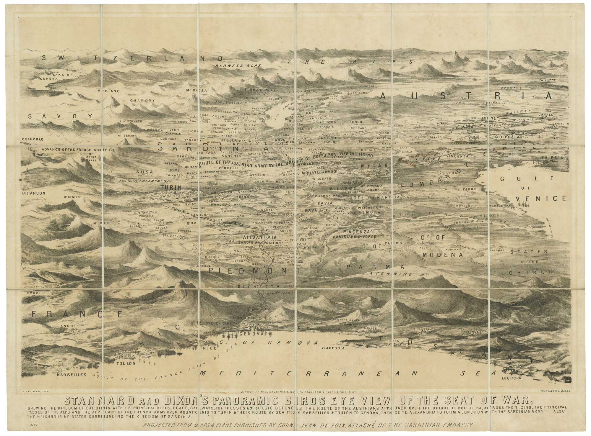


Aerial view of the Second Italian War of Independence
Stannard and Dixon's Panoramic Birds Eye View of the Seat of War showing the Kingdom of Sardinia with its Principal Cities, Roads, Railways, Fortresses & Strategic Defences, the Route of the Austrian's Approach over the Buffolera...
London: Stannard & Dixon, May 3rd, 1850. Tinted lithograph, dissected and laid on linen, as issued, total 545 x 730mm, folded into original slipcase.
£850.00
1 in stock
x
Question About This Item?
Aerial view of the Second Italian War of Independence & PACKER, Thomas.Stock #: 21203
Add to Wishlist
Export as PDFEnquireSimilar to Sell?Add to Wishlist
Description
A scarce map-view from above the Mediterranean looking down on the coasts of France and Italy from Marseilles to Livorno, showing north to Lake Geneva, the Alps and Trieste. It shows the positions of the French-Sardinian alliance and the opposing Austrians within a month of the mobilising of the armies. The French used railways to reach Turin (the first mass transportation of soldiers by train) while the Austrians marched to meet then. Crossing the Ticino, the Austrians captured Novara on 20th April and Vercelli on 2nd May, the day before this map was published. On the 7th May the Austrians advanced to meet the French at Turin.
Thomas Packer (1824-1896) produced these bird's-eye maps for conflicts including the Crimea and its Baltic Theatre (1855), the India Rebellion (1857), the American Civil War (1861), the Franco-Prussian War (1870) and the Russo-Turkish War (1877.
Condition:
Three works added in old ink mss.Related products
-

18th century prospect of Milan with fine allegorical detail
WERNER, Friedrich Bernhard. Date: 1735Stock #: 21534 £900.00 -
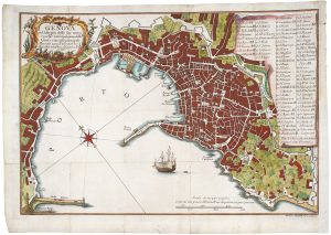
Mid-18th century plan of Genoa
BRUSCO, Giacomo Agostino. Date: 1766Stock #: 20705 £450.00 -

A superb prospect of Lake Como
GARIBOLDI, Gaetano. Date: 1840Stock #: 25240 £3,000.00 -

Early prospect of Genoa
SAUR, Abraham. Date: 1608Stock #: 18418 £250.00 -
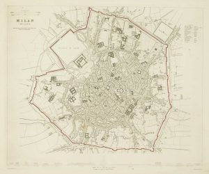
Detailed townplan of Milan
Society for the Diffusion of Useful Knowledge. Date: 1862Stock #: 14405 £130.00 -

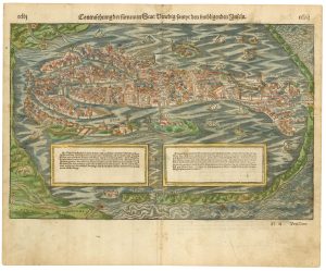
The only known complete example of a 17th century prospect of Venice
DE ROSSI, Giovanni Domenico. Date: 1650Stock #: 24057 £12,500.00 -

A scarce early 17th century townplan of Venice
PAOLI, Giovanni Antonio de. Date: 1620Stock #: 24056 £8,750.00 -

Mid-19th century map of Northern Italy with vignettes
TALLIS, John. Date: 1851Stock #: 23546 £150.00 -
Classic 16th century map of Venice in original colour
MUNSTER, Sebastian. Date: 1550Stock #: 23461 £1,500.00
Items by the same author
Add to Wishlist
Add to Wishlist
