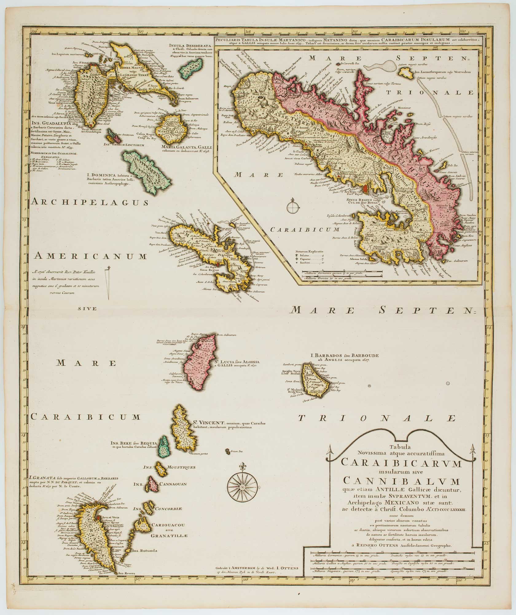


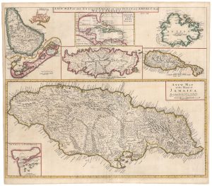
Early 18th century map of the Caribbean
Tabula Novissima atque accuratissima Caraibicarum insularum sive Cannibalum quae etiam Antillae Gallicae dicuntur...
Amsterdam, Joachim Ottens, c.1710. Original colour. 590 x 500mm.
£1,200.00
Description
A detailed map of the Windward Islands from Guadeloupe south to Grenada, including the small islands of Mustiques and Union, with a large inset map of Martinique. Grenada has been moved north and is shown west of Carriacou, so that it fits on the sheet.
This map is usually seen as published by Joachim's two sons, Reiner & Josua.
Condition:
A good example.Related products
-
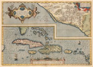
Ortelius’s map of the West Indies and Culiacán in Mexico
ORTELIUS, Abraham. Date: 1584Stock #: 23599 £1,250.00 -
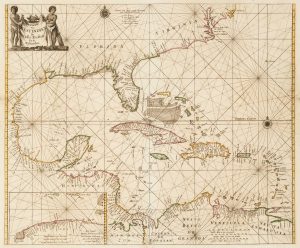
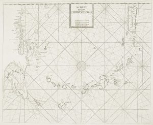
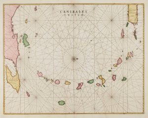
17th century sea-chart of the West Indies
GOOS, Pieter. Date: 1666Stock #: 11906 £2,500.00 -
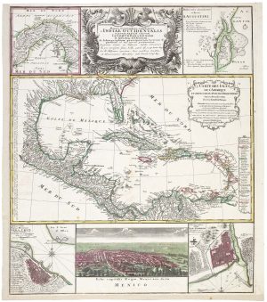
A decorative 18th century map of the West Indies
HOMANN HEIRS. Date: 1740Stock #: 20882 £750.00 -
A British chart of the Lesser Antilles
MOUNT & PAGE. Date: 1748Stock #: 15696 £700.00 -
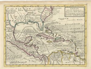
18th century English map of the West Indies
MOLL, Herman. Date: 1732Stock #: 25667 £450.00 -
The English possessions in the West Indies
SENEX, John. Date: 1721Stock #: 23423 £850.00 -
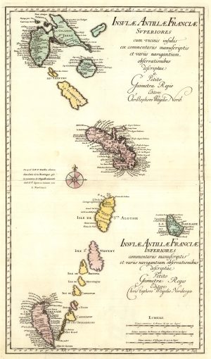
A two-sheet map of the Lesser Antilles
WEIGEL, Christoph. Date: 1747Stock #: 25324 £500.00 -
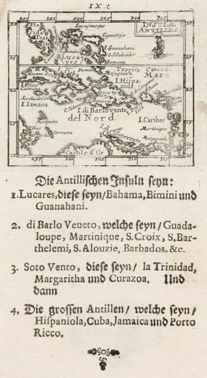
Uncommon miniature map of the West Indies
MULLER, Johann Ulrich. Date: 1692Stock #: 8928 £175.00 -
17th century chart of the Lesser Antilles
BLAEU, Johannes. Date: 1662Stock #: 15193 £850.00
Items by the same author
Add to Wishlist
Add to Wishlist

18th century map of Corfu in fine colour
OTTENS, Joachim. Date: 1700 Stock #: 24733 £1,350.00
Add to Wishlist
Add to Wishlist