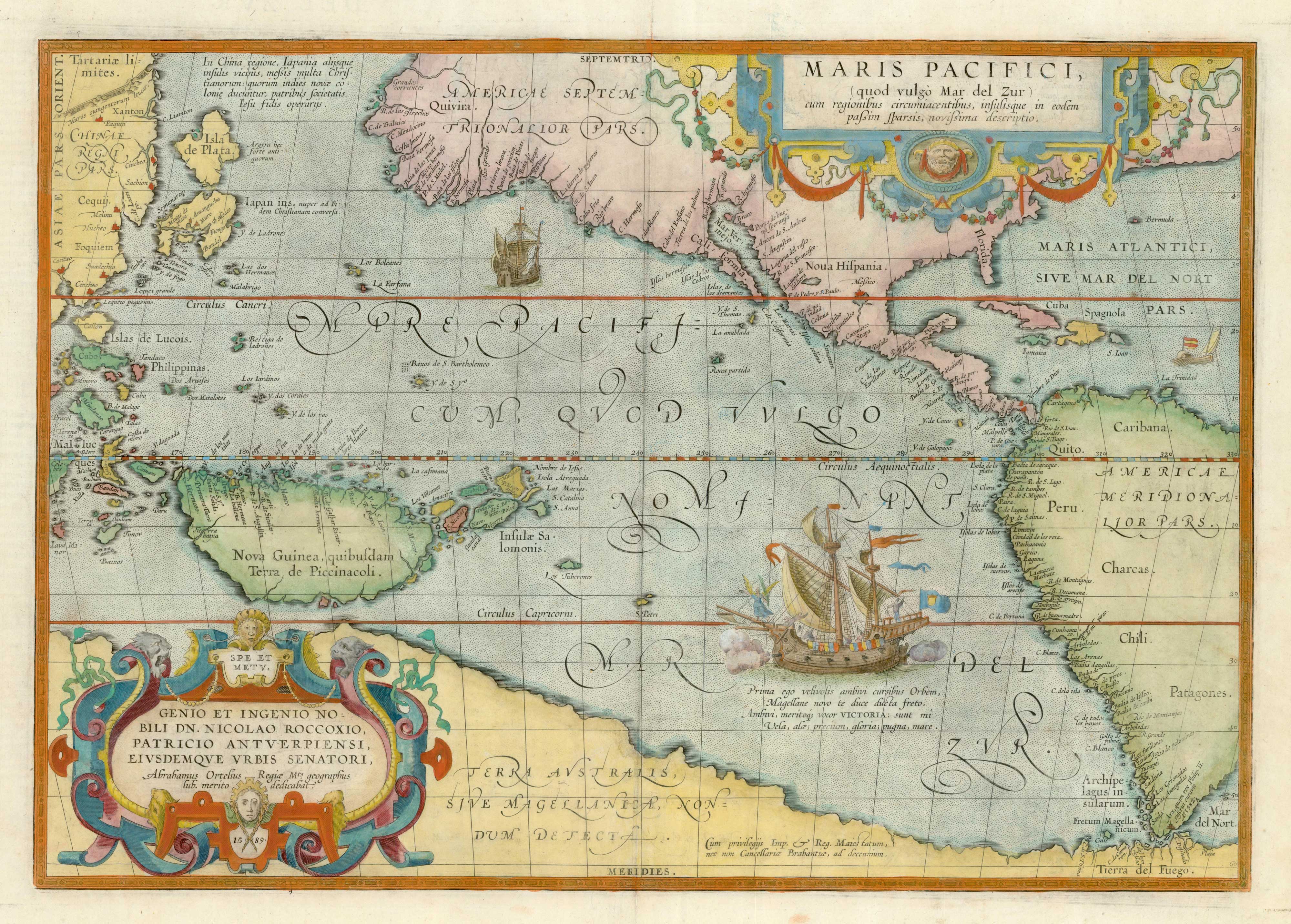


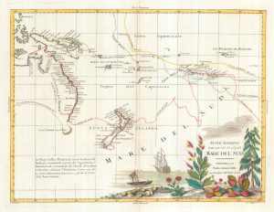
The first printed map of the Pacific
Maris Pacifici, (quod vulgo Mar del Zur) cum regionibus circumiacentibus, insulusque in eodem passim sparsis, novissima descriptio.
Antwerp, 1601, Latin text edition. Coloured. 345 x 495mm.
£5,500.00
Description
The earliest obtainable map of the Pacific Ocean (Maris Pacificum) and one of the most sought-after of Ortelius's atlas maps, first published in 1590 despite being engraved in 1589. It pre-dates the concept of California as an island, has a huge island of New Guinea and an unrecognisable Japan. The south Pacific is filled with a vignette of the 'Victoria', Magellan's ship. His route through the Magellan Straits is shown, with Terra del Fuego depicted as part of the huge 'Terra Australis'.
Condition:
In very fine condition, wide margins, no tears, no repairsReferences:
VAN DEN BROECKE: 12, 'of fundamental cartographic importance'.Related products
-
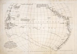
Cook’s chart of the South Pacific from his First Voyage
COOK, James. Date: 1773Stock #: 20839 £1,400.00 -
A German edition of Cook’s chart of the South Pacific
COOK, James. Date: 1775Stock #: 20470 £450.00 -
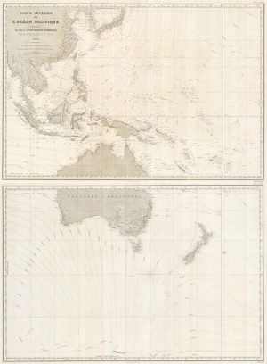
Map of Australia and New Zealand after Cook’s First Voyage to the Pacific
ZATTA, Antonio. Date: 1776Stock #: 24599 £1,000.00 -
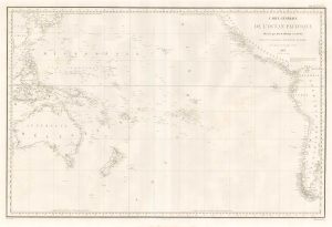
A detailed 19th century chart of the south west Pacific
VINCENDON-DUMOULIN, Clement Adrien. Date: 1874Stock #: 22088 £1,600.00 -
A scarce map of the Pacific
BURNEY, James. Date: 1803Stock #: 20985 £650.00 -
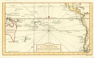
18th century map of the South Pacific Ocean
BELLIN, Jacques-Nicolas. Date: 1753Stock #: 19908 £320.00 -
An French sea chart of the Pacific after Dumont D’Urville
Dépôt des Cartes et Plans de la Marine. Date: 1834Stock #: 18866 £450.00 -
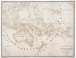
Wall map of Australasia
HOLLE, Leinhart. Date: 1860Stock #: 12843 £600.00 -
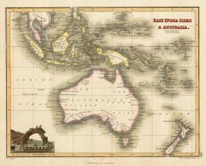
Australia & East India Islands
WYLD, James. Date: 1819Stock #: 22020 £160.00
Items by the same author
Add to Wishlist
Add to Wishlist

The rarest Ortelius atlas map of England and Wales
ORTELIUS, Abraham. Date: 1603 Stock #: 25643 £2,000.00
Add to Wishlist
Add to Wishlist

A 16th century miniature map of Turkey
ORTELIUS, Abraham. Date: 1593 Stock #: 24465 £140.00
Add to Wishlist
Add to Wishlist

A 16th century miniature map of the Turkish Empire
ORTELIUS, Abraham. Date: 1593 Stock #: 24464 £280.00
Add to Wishlist
Add to Wishlist
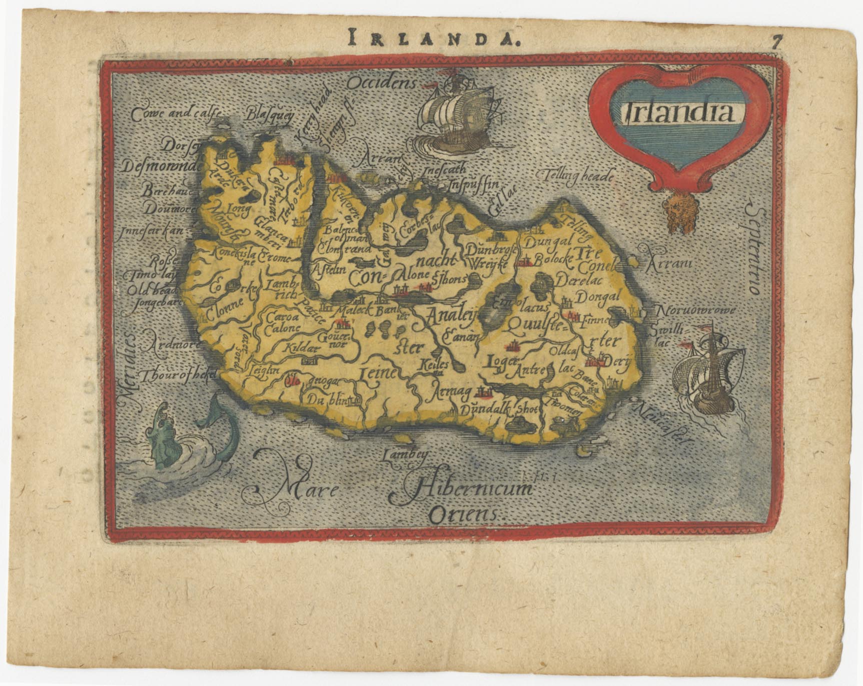
A 16th century miniature map of Ireland
ORTELIUS, Abraham. Date: 1593 Stock #: 24458 £270.00
Add to Wishlist
Add to Wishlist