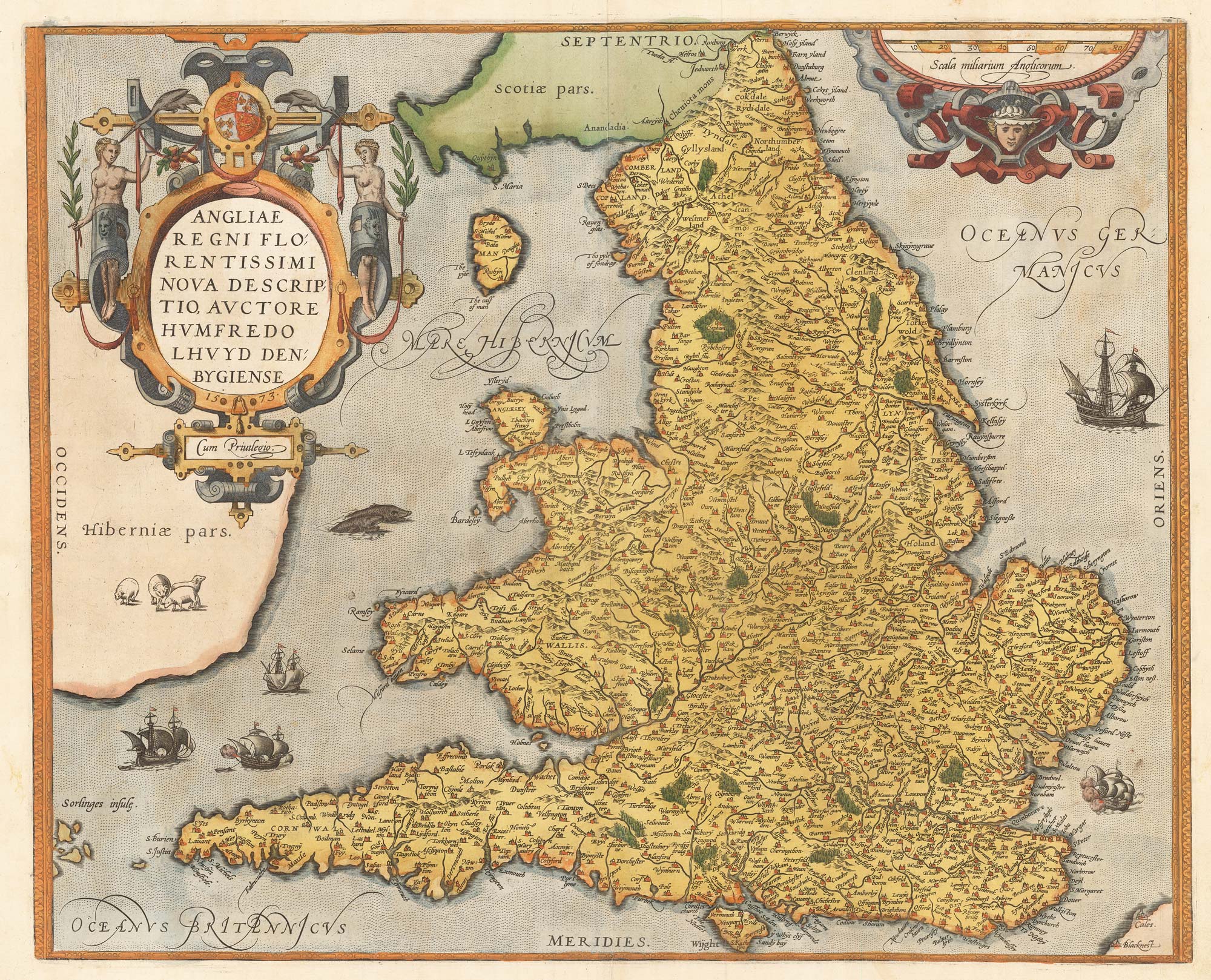


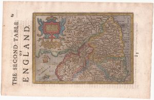
The Ortelius/Lhuyd map of England
Angliae Regni Florentissimi Nova Descriptio, Auctore Humfredo Lhuyd Denbygiense. 1573
Antwerp, 1584, Latin text edition. Original colour. 380 x 470mm.
£1,250.00
Description
An important map of England and Wales, based on the manuscript map by the Welshman Humphrey Lhuyd, 1568, It is distinctive for the lifted sweep of south-west England. Engraved in 1573, this map was one of the first new maps added to Ortelius's 'Theatrum Orbis Terrarum' after the issue of the first edition of 1570.
Condition:
A good example.References:
VAN DEN BROECKE: 19, state 1 of 3, with two '60's in the scale.Related products
-
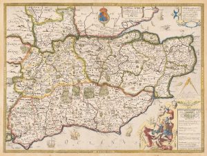
An unrecorded state of Saxton’s map of South East England
SAXTON, Christopher. Date: 1690Stock #: 22260 £3,000.00 -
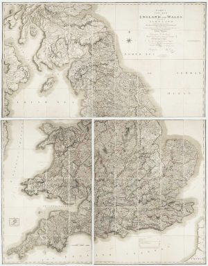
A four-sheet wall map of England and Wales
KITCHIN, Thomas. Date: 1792Stock #: 16009 £1,600.00 -
An 17th century two-sheet map of England and Wales
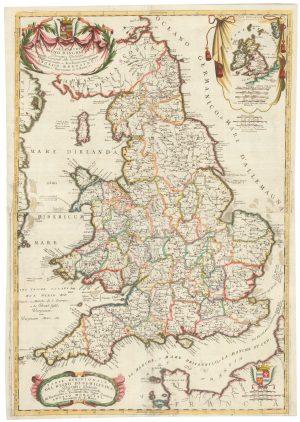
CORONELLI, Vincenzo Maria. Date: 1691Stock #: 21517 £750.00 -
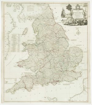
Georgian wall map of England & Wales
CARY, John. Date: 1820Stock #: 22666 £1,250.00 -
A scarce miniature map of England and Wales
ROGIERS, Salomon. Date: 1807Stock #: 22084 £160.00 -
Northern England from the first English Edition of the ‘Atlas Minor’
HONDIUS, Jodocus. Date: 1635Stock #: 22444 £100.00 -
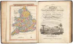
A pocket atlas of England and Wales
WALLIS, James. Date: 1819Stock #: 20636 £750.00 -
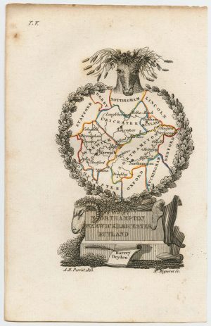
Miniature map of the East Midlands
PERROT, Aristide Michel. Date: 1828Stock #: 23304 £60.00 -
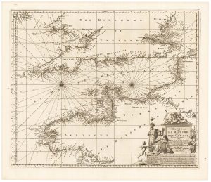
17th century sea chart of the English Channel
VISSCHER, Nicolas. Date: 1698Stock #: 22341 £650.00
Items by the same author
Add to Wishlist
Add to Wishlist

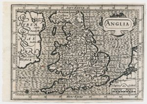
The rarest Ortelius atlas map of England and Wales
ORTELIUS, Abraham. Date: 1603 Stock #: 25643 £2,000.00
Add to Wishlist
Add to Wishlist

A 16th century miniature map of Turkey
ORTELIUS, Abraham. Date: 1593 Stock #: 24465 £140.00
Add to Wishlist
Add to Wishlist

A 16th century miniature map of the Turkish Empire
ORTELIUS, Abraham. Date: 1593 Stock #: 24464 £280.00
Add to Wishlist
Add to Wishlist
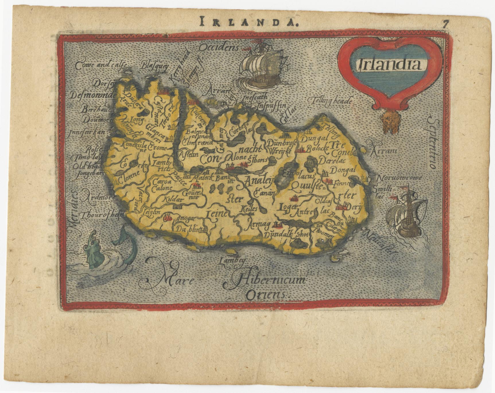
A 16th century miniature map of Ireland
ORTELIUS, Abraham. Date: 1593 Stock #: 24458 £270.00
Add to Wishlist
Add to Wishlist