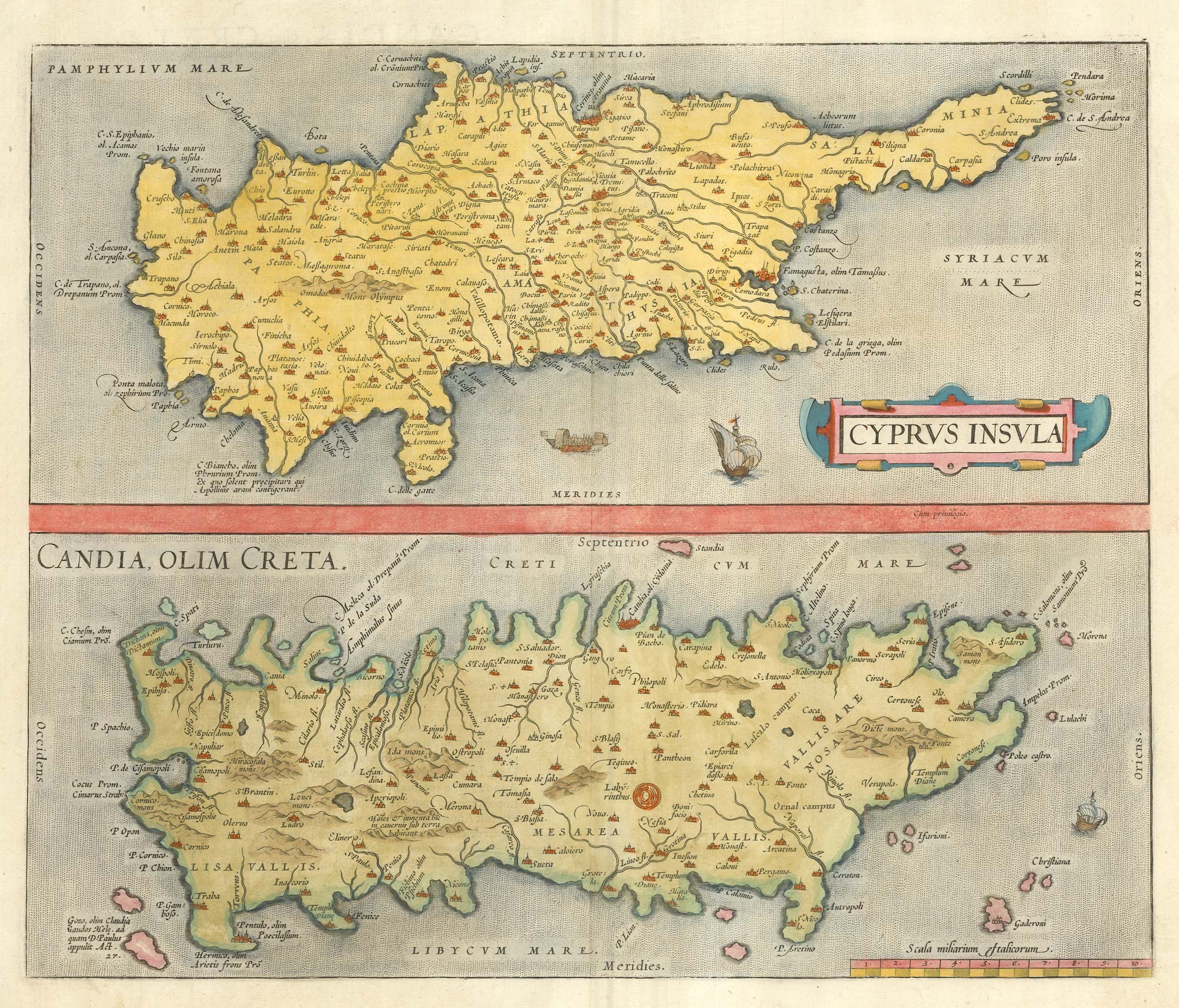


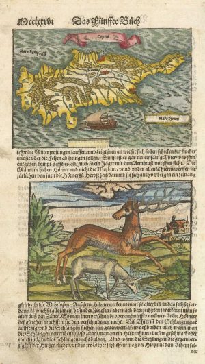
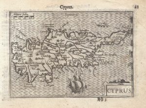
16th century map with Cyprus & Crete
Cyprus Insula; Candia olim Creta.
Antwerp: Christoph Plantin, 1573, Latin edition. Coloured. 365 x 430mm.
£900.00
Description
Two maps on one sheet, Cyprus above and Crete ( Candia ) below, in use in the 'Theatrum Orbis Terrarum' from 1570 to 1581.
Although a map of Cyprus by Jan van Doeticum was added to the Theatrum in 1573, this map remained in the atlas until a new map of Crete and the Aegean Islands was introduced in 1584.
Condition:
Page number added in old ink mss. on verso.References:
ZACHARAKIS: 1611, illus; VAN DEN BROECKE: 148.Related products
-
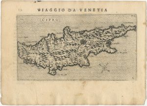
Uncommon 16th century Italian map of Cyprus
ROSACCIO, Giuseppe. Date: 1598Stock #: 24538 £1,600.00 -
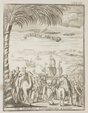
Frontispiece from ‘Peregrinus in Jerusalem’
MYLLER, Angelicus Maria. Date: 1735Stock #: 17187 £160.00 -
16th century woodblock map of Cyprus
MUNSTER, Sebastian. Date: 1578Stock #: 21647 £350.00 -
A decorative early 18th century chart of the Mediterranean
FER, Nicolas de. Date: 1654Stock #: 25252 £2,750.00 -
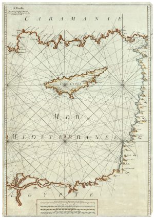
A scarce Irish chart of the Western part of the Mediterranean
GRIERSON, George Date: 1735Stock #: 14456 £2,000.00 -
The Knights Hospitallers on Cyprus
NABERAT, Anne de. Date: 1629Stock #: 20123 £2,600.00 -
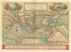
The Peregrinations of Saint Paul in superb original colour
ORTELIUS, Abraham. Date: 1603Stock #: 23745 £1,400.00 -
An unusual sea chart of the Eastern Mediterranean with Cyprus
ROUX, Joseph. Date: 1764Stock #: 25152 £1,400.00 -
A 16th century miniature map of Cyprus
LANGENES, Barent. Date: 1599Stock #: 21327 £550.00
Items by the same author
Add to Wishlist
Add to Wishlist

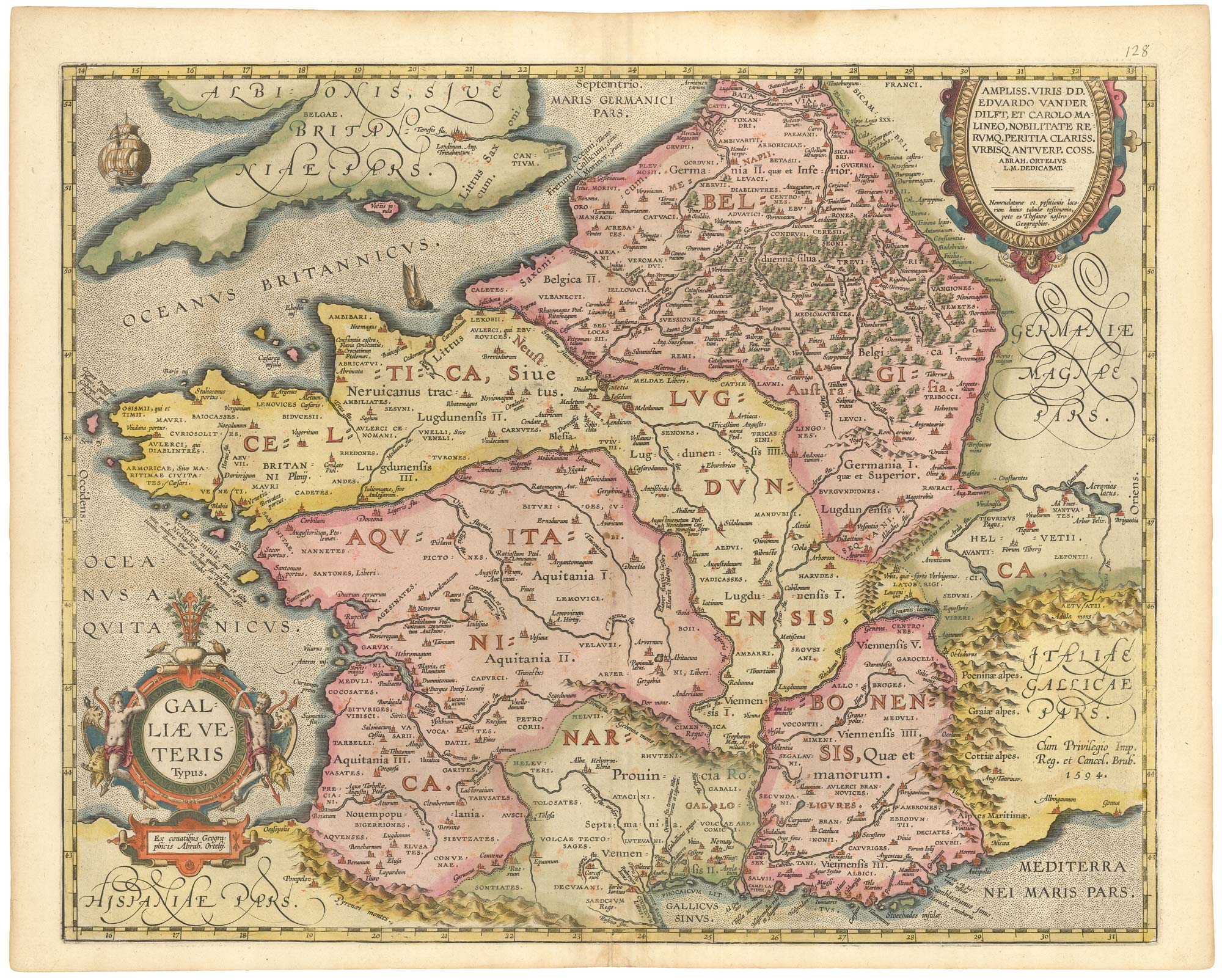
The rarest Ortelius atlas map of England and Wales
ORTELIUS, Abraham. Date: 1603 Stock #: 25643 £2,000.00
Add to Wishlist
Add to Wishlist

A 16th century miniature map of Turkey
ORTELIUS, Abraham. Date: 1593 Stock #: 24465 £140.00
Add to Wishlist
Add to Wishlist

A 16th century miniature map of the Turkish Empire
ORTELIUS, Abraham. Date: 1593 Stock #: 24464 £280.00
Add to Wishlist
Add to Wishlist
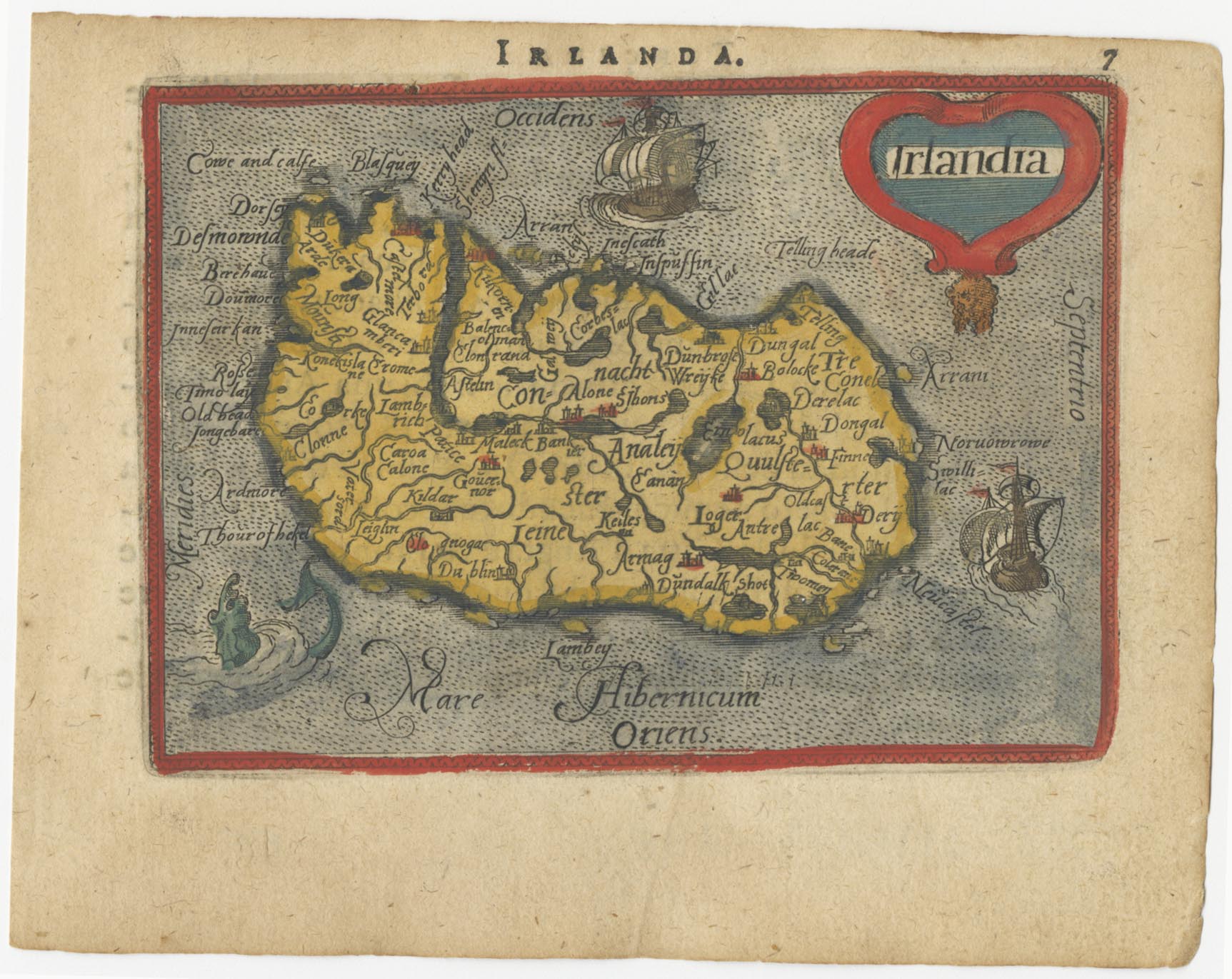
A 16th century miniature map of Ireland
ORTELIUS, Abraham. Date: 1593 Stock #: 24458 £270.00
Add to Wishlist
Add to Wishlist