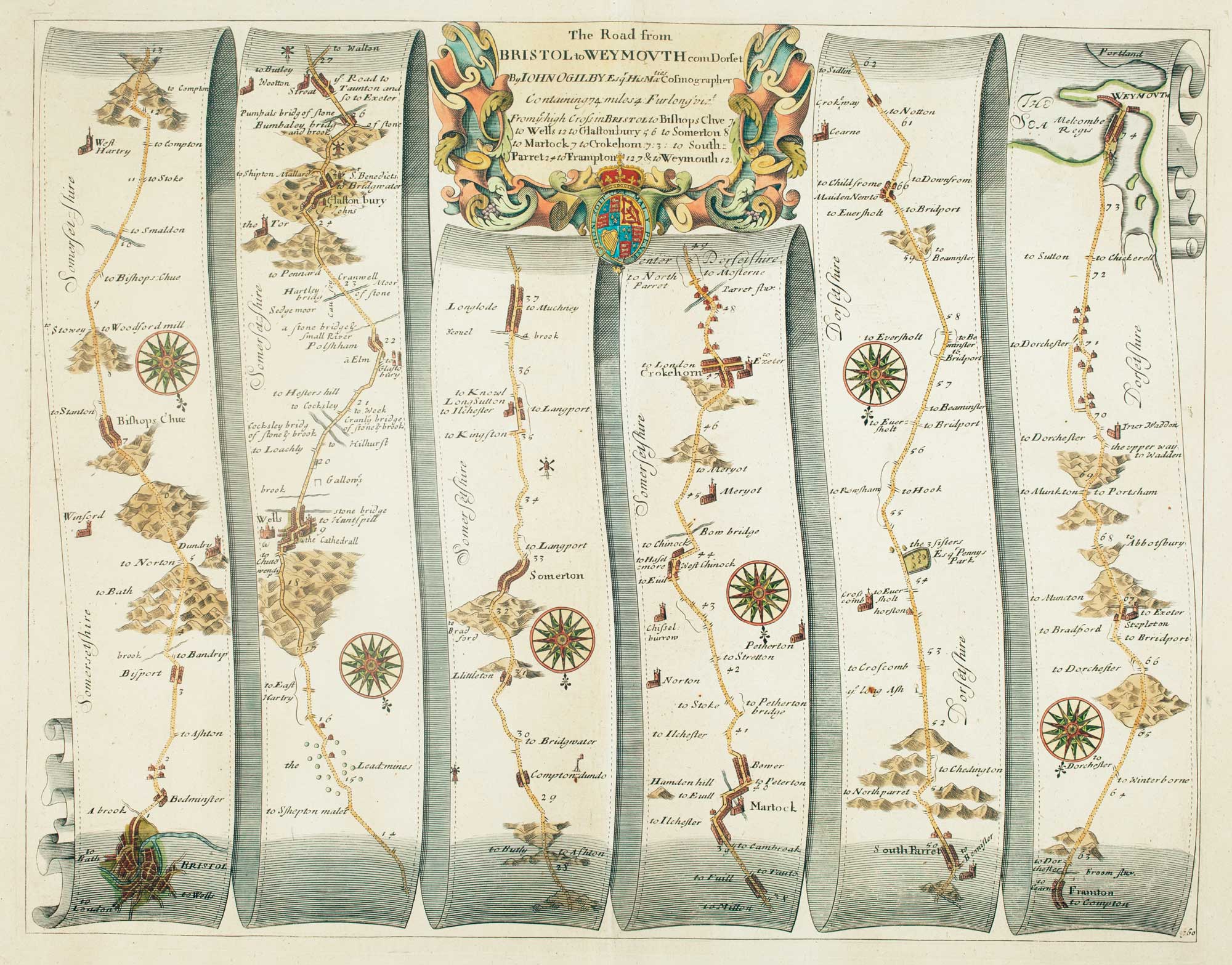


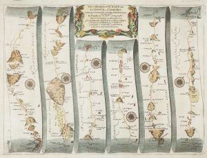
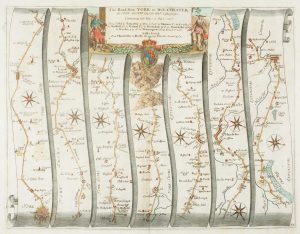
Early map of the roads from Bristol to Weymouth
The Road from Bristol to Weymouth...
London, c.1675. Coloured. 330 x 445mm.
£240.00
1 in stock
x
Question About This Item?
Early map of the roads from Bristol to Weymouth & OGILBY, John.Stock #: 15096
Add to Wishlist
Export as PDFEnquireSimilar to Sell?Add to Wishlist
Description
The complete route, via Wells, Glastonbury & Crewkerne.
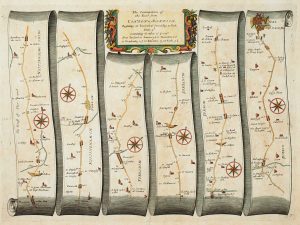
Plate 60 from Ogilby's 'Britannia', the first road atlas of England & Wales, first published in 1675. It was only after his work that roads started being shown on county maps. The route is shown on scroll-like strips, with a decorative strapwork title cartouche.
Condition:
A good example.References:
Second state, with plate number bottom right.Related products
-
Early map of the roads from Presteigne to Carmarthen
OGILBY, John. Date: 1675Stock #: 15372 £280.00 -
Early map of the roads from Lichfield to Chester
OGILBY, John. Date: 1675Stock #: 23239 £280.00 -
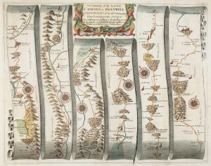
An early map of the roads from Abingdon to Monmouth
OGILBY, John. Date: 1675Stock #: 15312 £180.00 -
An early map of the road from London to Towcester
OGILBY, John. Date: 1675Stock #: 15101 £420.00 -
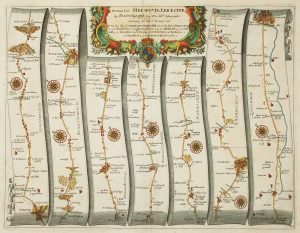
Early map of the road from Hereford to Leicester
OGILBY, John. Date: 1675Stock #: 16364 £200.00 -
Early map of the roads from Tal-y-bont to Holywell
OGILBY, John. Date: 1675Stock #: 15366 £280.00 -
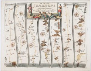
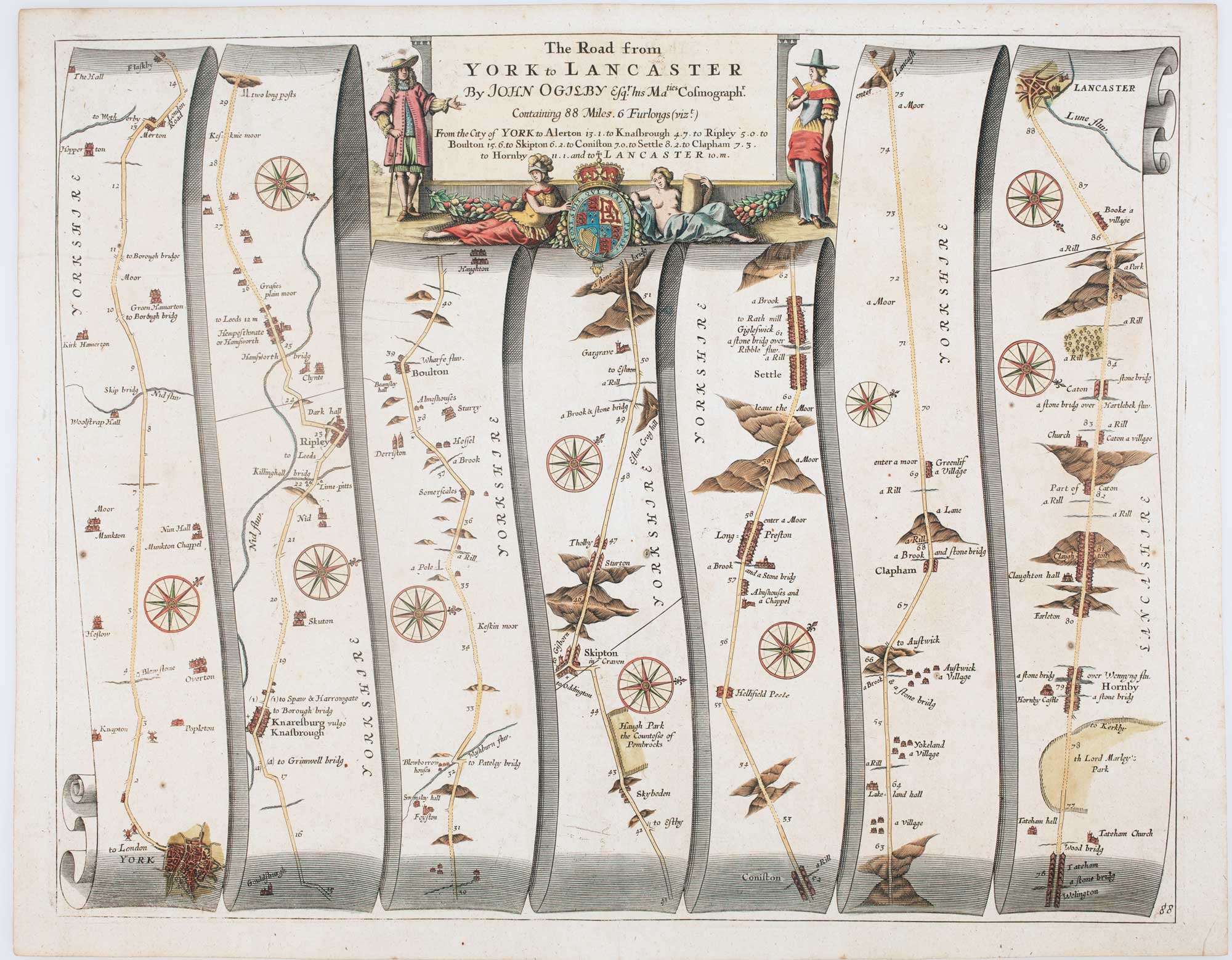
Early map of the roads from York to Lancaster
OGILBY, John. Date: 1675Stock #: 15090 £270.00 -
An early road map of York to Warrington
OGILBY, John. Date: 1675Stock #: 15327 £320.00 -
Early map of the roads from Tuxford – York
OGILBY, John. Date: 1675Stock #: 16363 £220.00
Items by the same author
Add to Wishlist
Add to Wishlist
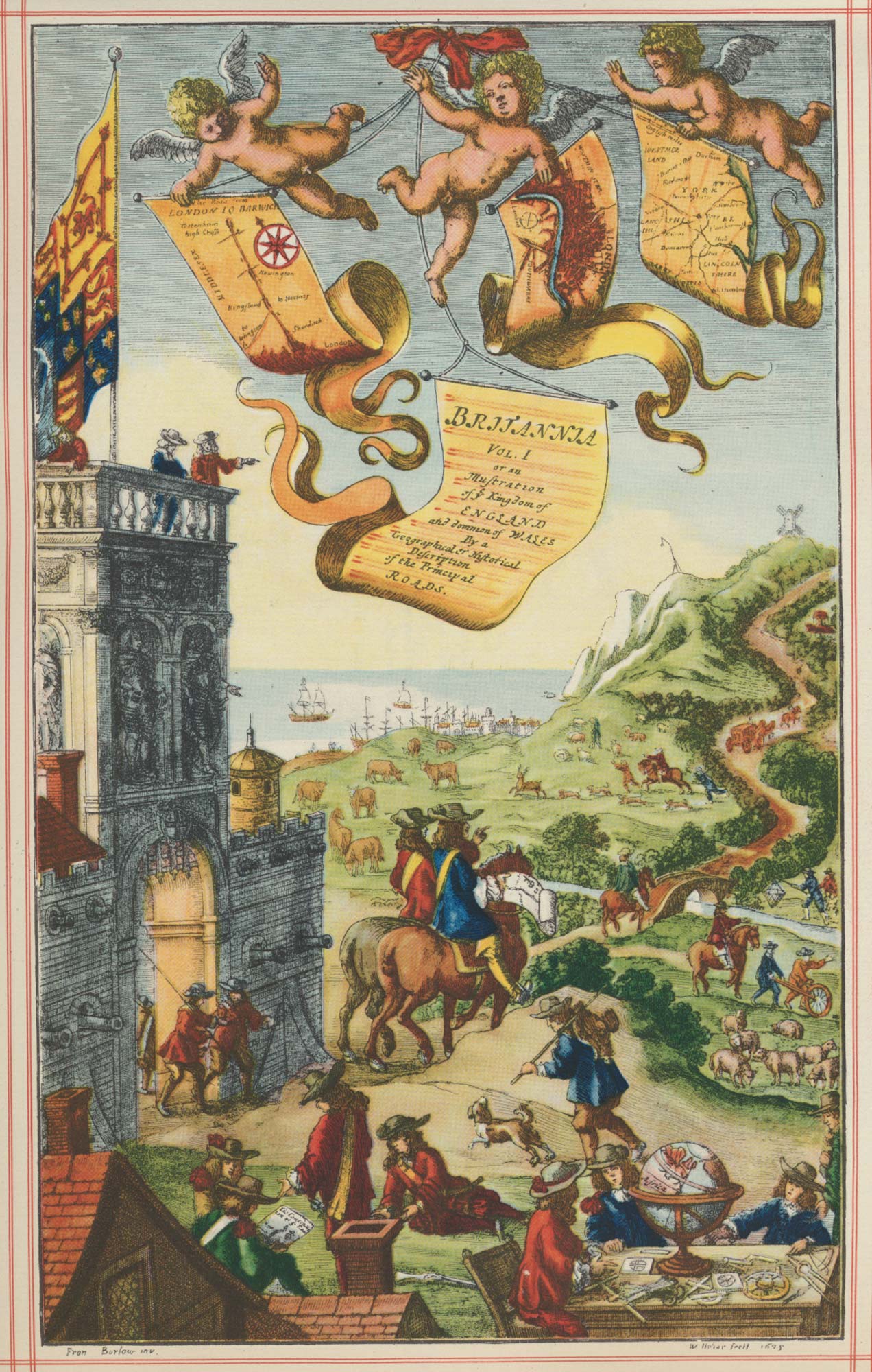
Facsimile of Ogilby's 'Britannia' road atlas
OGILBY, John. Date: 1939 Stock #: 23868 £60.00
Add to Wishlist
Add to Wishlist
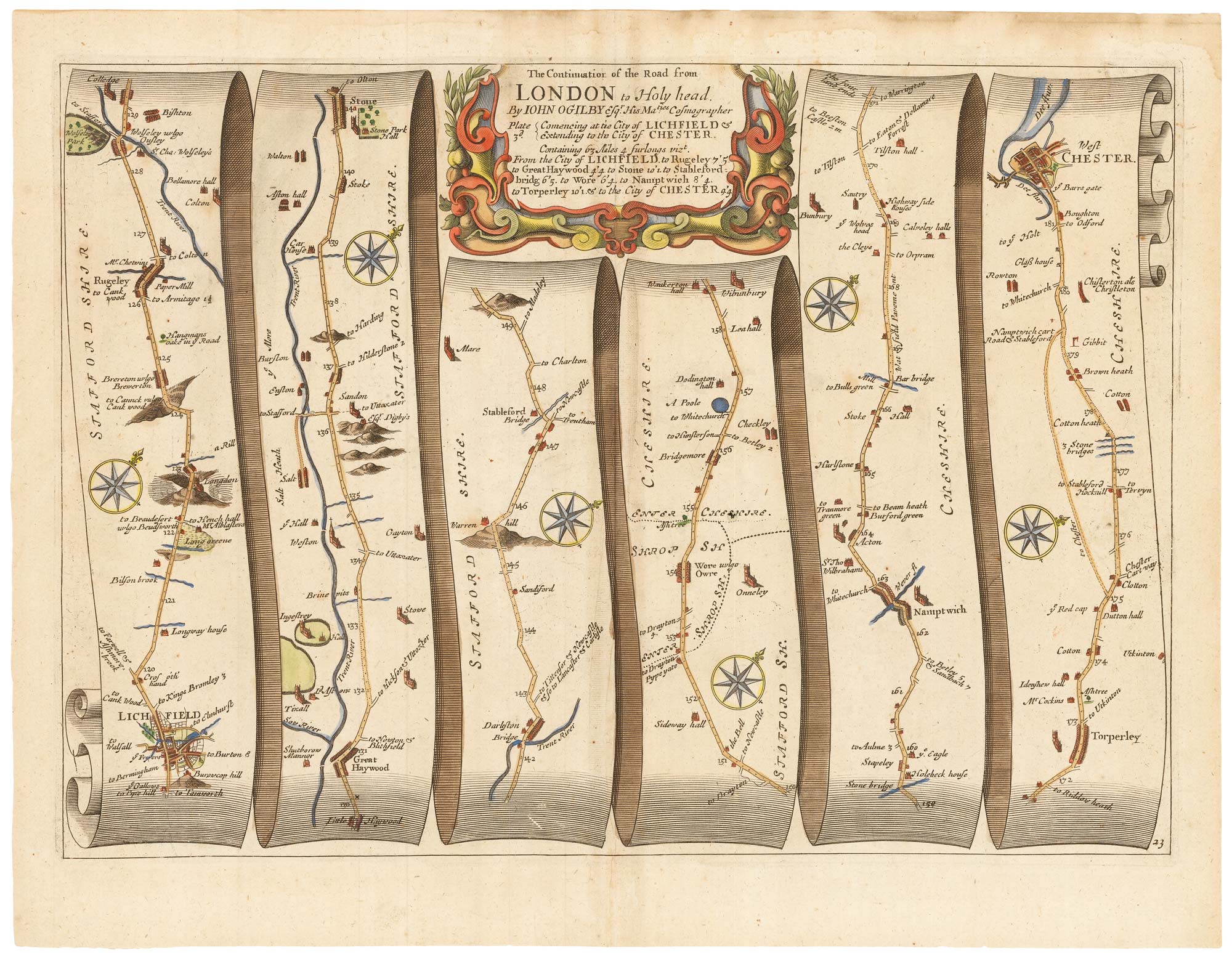
Early map of the roads from Lichfield to Chester
OGILBY, John. Date: 1675 Stock #: 23239 £280.00
Add to Wishlist
Add to Wishlist
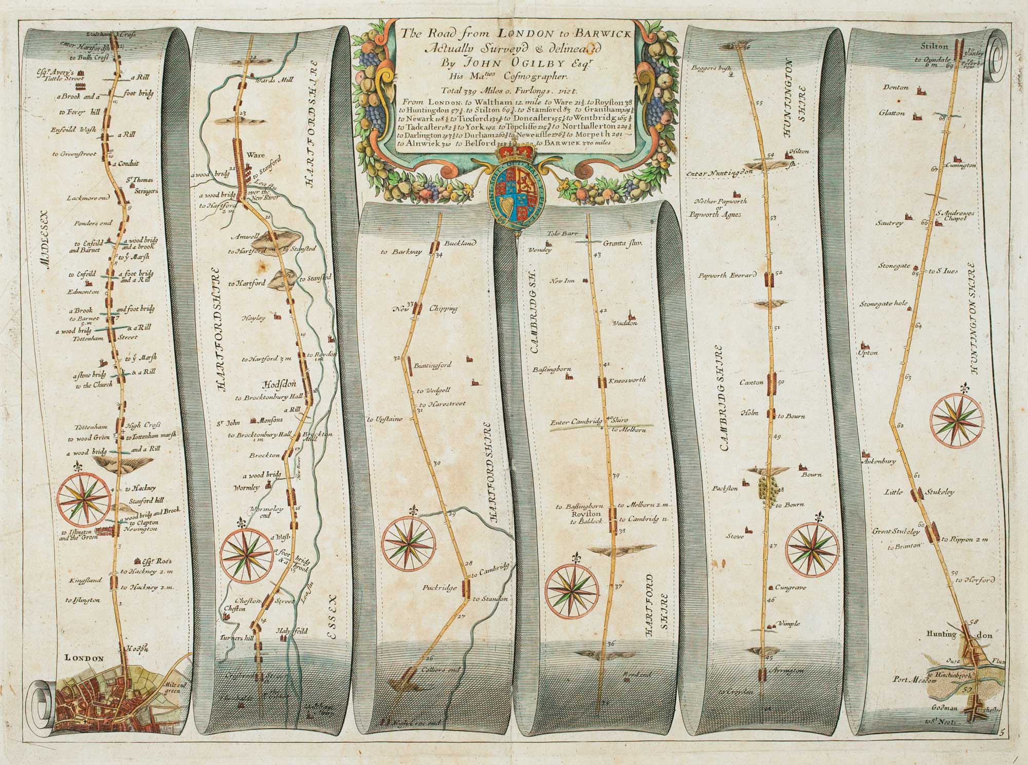
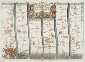
Early road map of the roads from London to Stilton in Cambridgeshire
OGILBY, John. Date: 1675 Stock #: 16325 £280.00
Add to Wishlist
Add to Wishlist
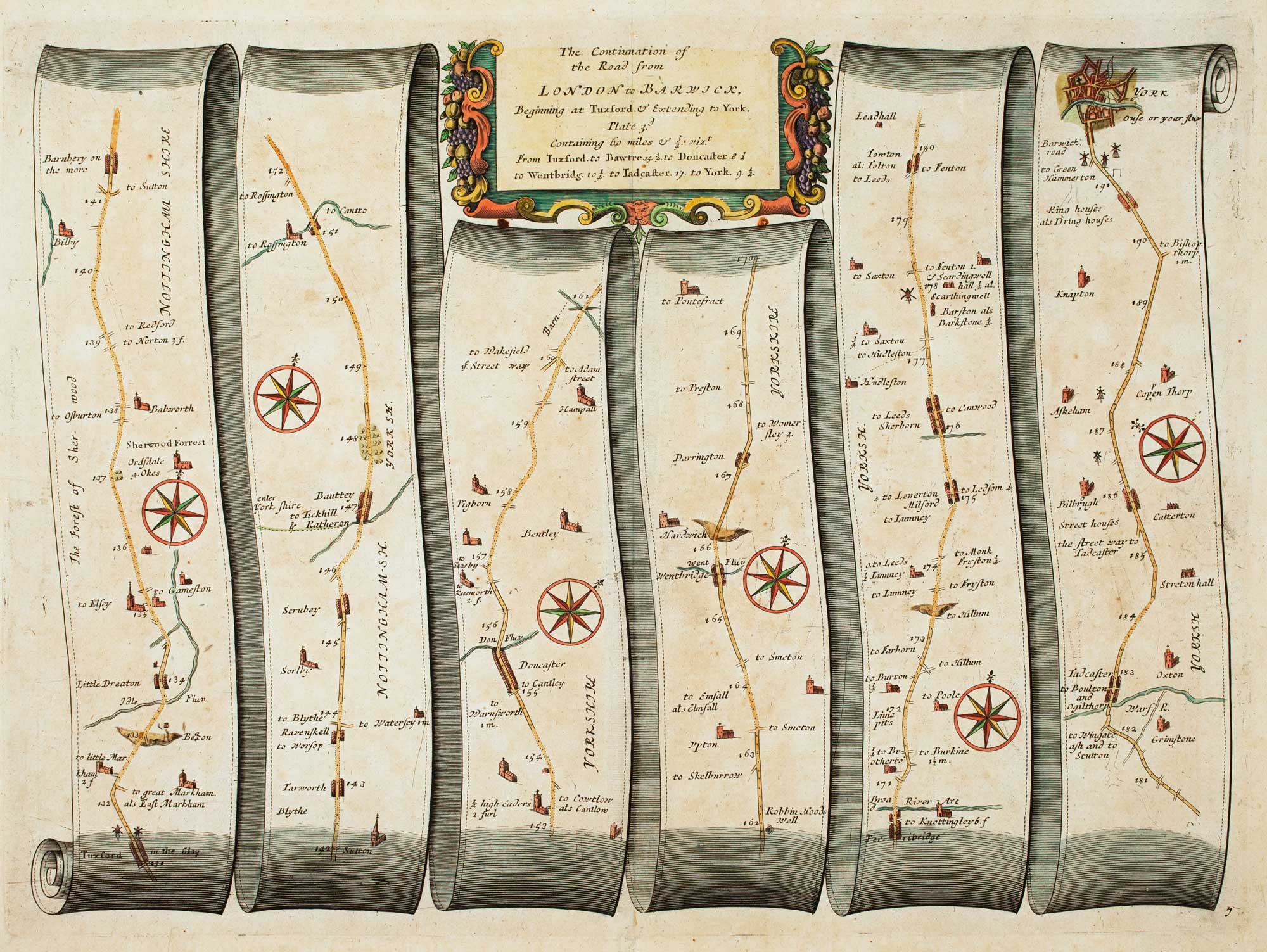
Early map of the roads from Tuxford - York
OGILBY, John. Date: 1675 Stock #: 16363 £220.00
Add to Wishlist
Add to Wishlist
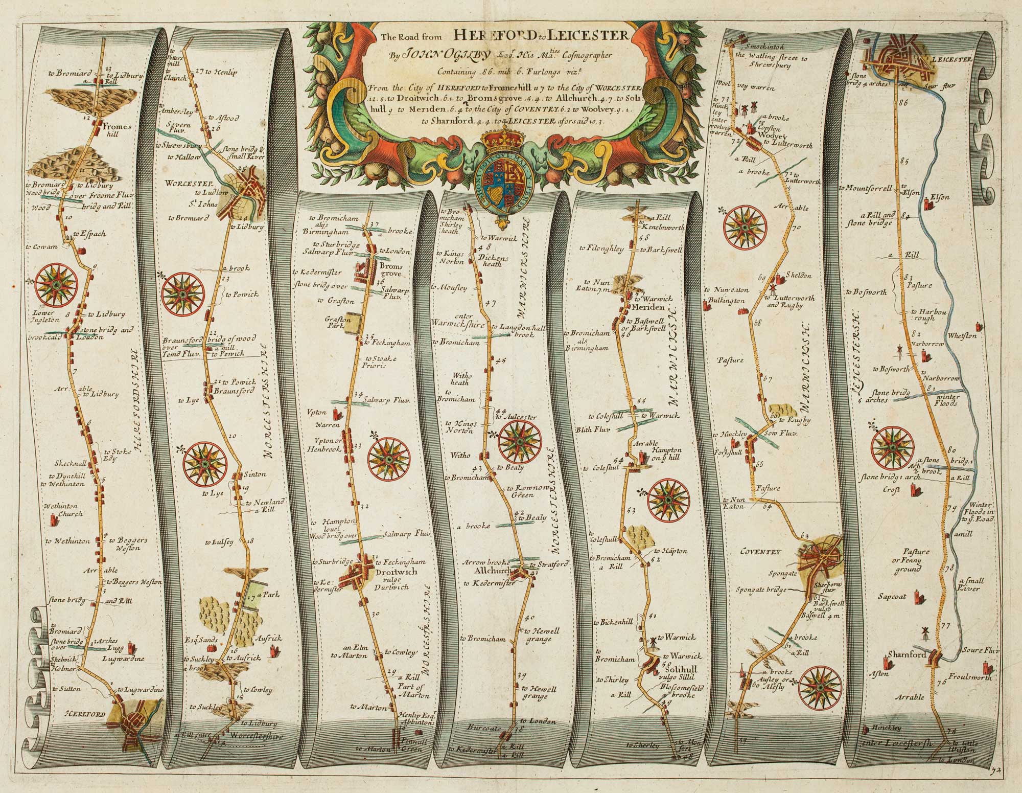
Early map of the road from Hereford to Leicester
OGILBY, John. Date: 1675 Stock #: 16364 £200.00
Add to Wishlist
Add to Wishlist