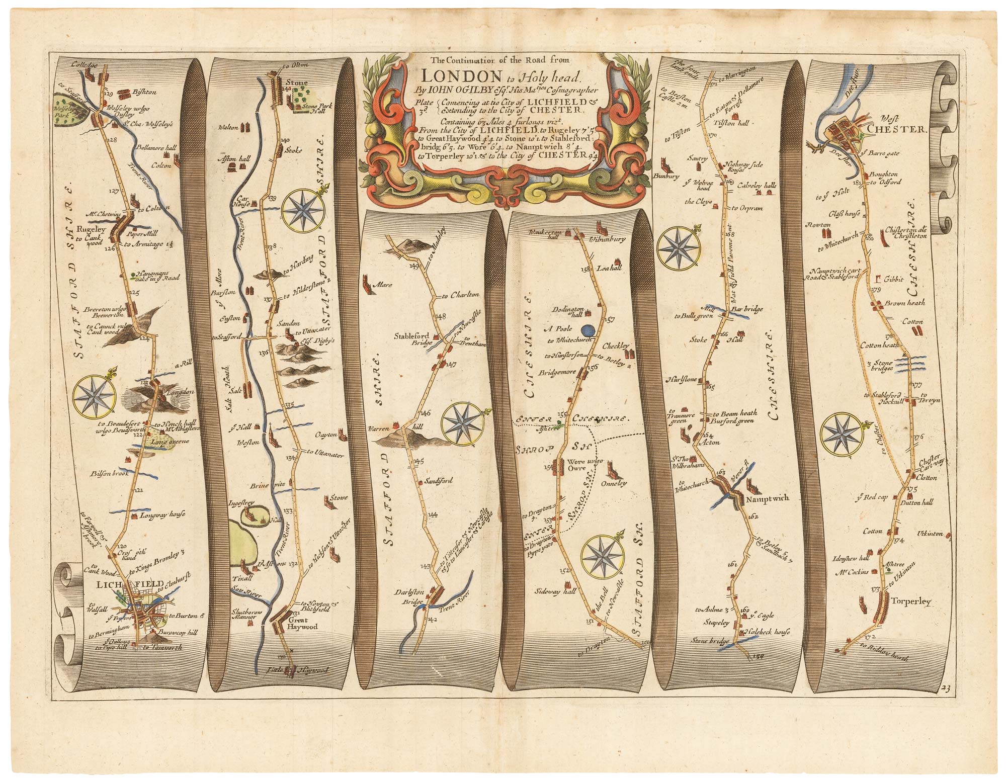


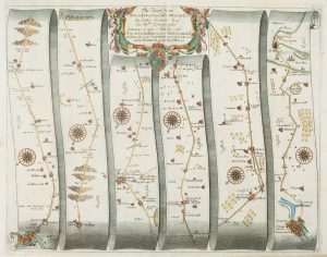
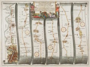
Early map of the roads from Lichfield to Chester
The Continuation of the Road from London to Holy head...
London, c.1675. Coloured. 330 x 445mm.
£280.00
1 in stock
x
Question About This Item?
Early map of the roads from Lichfield to Chester & OGILBY, John.Stock #: 23239
Add to Wishlist
Export as PDFEnquireSimilar to Sell?Add to Wishlist
Description
The third of four sheets covering the route from London to Holyhead on Anglesey, showing from Lichfield to Chester, via Nantwich.
Plate 23 from John Ogilby's 'Britannia', the first road atlas of England & Wales, first published in 1675. It was only after his work that roads started being shown on county maps. The route is shown on scroll-like strips, with a decorative strapwork title cartouche.
Condition:
Paper lightly toned.References:
Second state, with plate number bottom right.Related products
-
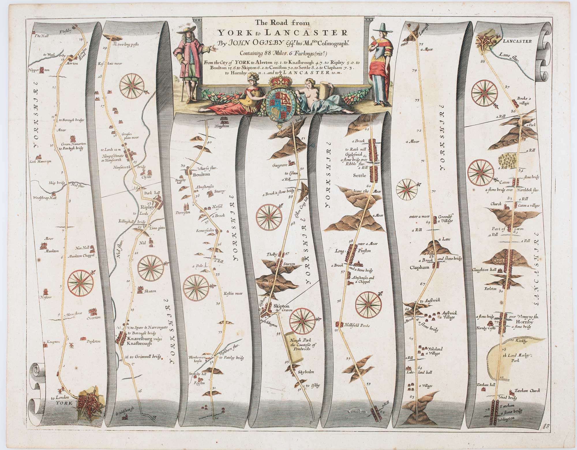
Early map of the roads from Presteigne to Carmarthen
OGILBY, John. Date: 1675Stock #: 15372 £280.00 -
Early map of the roads from Carlisle and Berwick upon Tweed
OGILBY, John. Date: 1675Stock #: 15375 £220.00 -
An early road map of King’s Lynn to Harwich
OGILBY, John. Date: 1675Stock #: 15331 £220.00 -
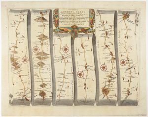
An early road map from Stony Stratford to Derby
OGILBY, John. Date: 1675Stock #: 15320 £265.00 -
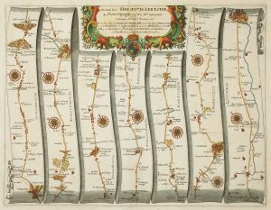
Early map of the road from Hereford to Leicester
OGILBY, John. Date: 1675Stock #: 16364 £200.00 -
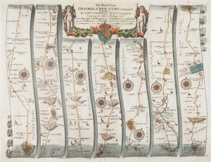
An early map of the roads from Oxford to Coventry and Derby
OGILBY, John. Date: 1675Stock #: 15299 £300.00 -
An early road map of London to Andover
OGILBY, John. Date: 1675Stock #: 15335 £450.00 -
An early map of the roads from Nottingham to Grimsby
OGILBY, John. Date: 1675Stock #: 15307 £280.00 -
An early road map of Chelmsford to Bury St Edmunds and Saffron Walden
OGILBY, John. Date: 1675Stock #: 15324 £320.00
Items by the same author
Add to Wishlist
Add to Wishlist
Facsimile of Ogilby's 'Britannia' road atlas
OGILBY, John. Date: 1939 Stock #: 23868 £60.00
Add to Wishlist
Add to Wishlist
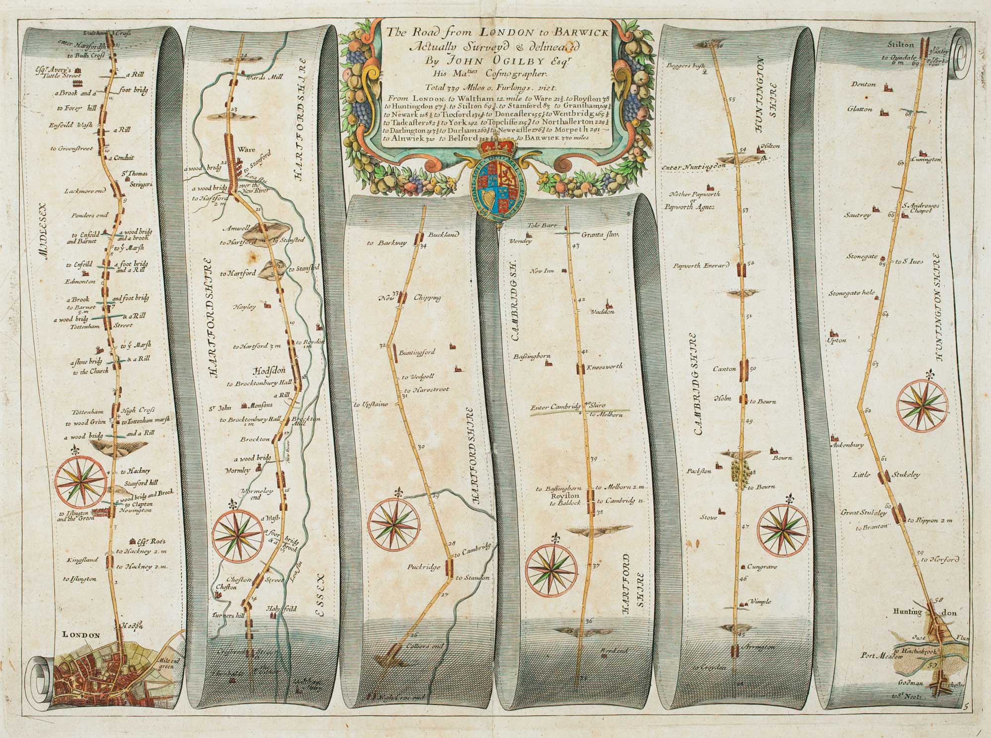
Early road map of the roads from London to Stilton in Cambridgeshire
OGILBY, John. Date: 1675 Stock #: 16325 £280.00
Add to Wishlist
Add to Wishlist
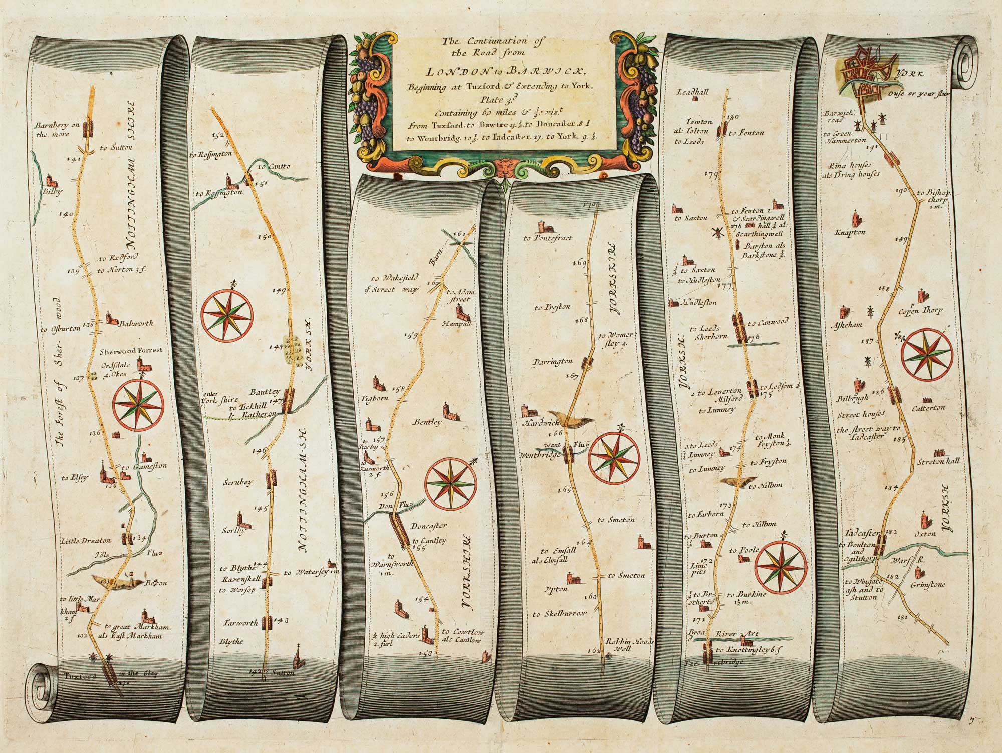
Early map of the roads from Tuxford - York
OGILBY, John. Date: 1675 Stock #: 16363 £220.00
Add to Wishlist
Add to Wishlist
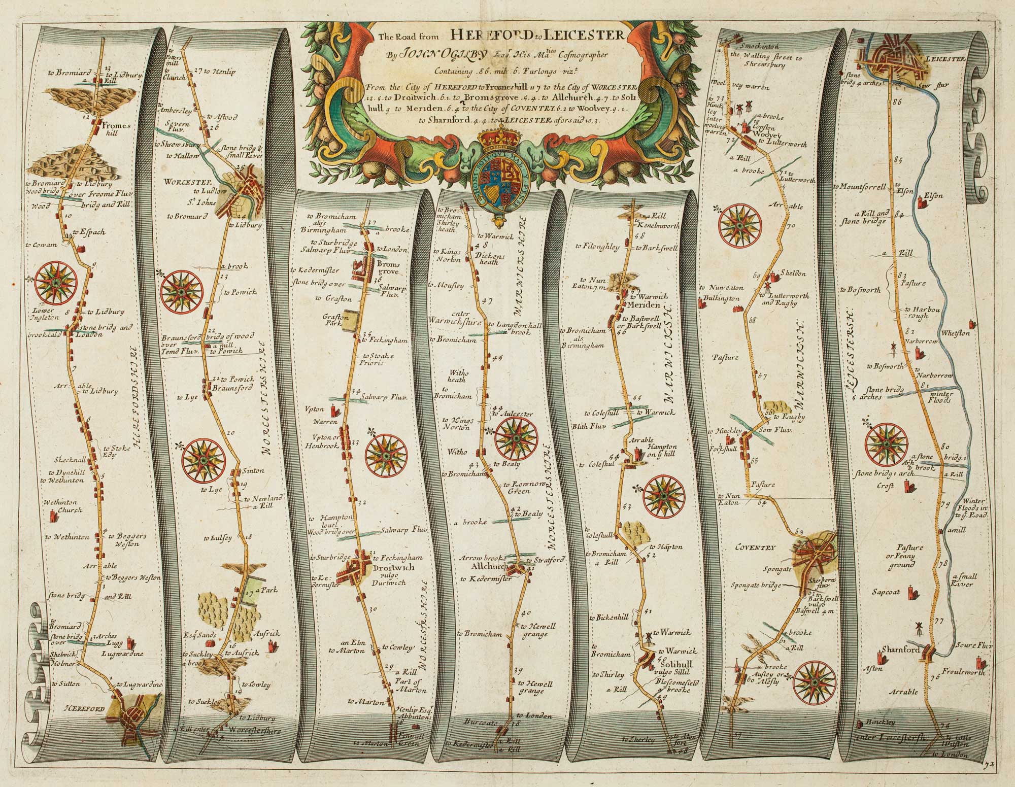
Early map of the road from Hereford to Leicester
OGILBY, John. Date: 1675 Stock #: 16364 £200.00
Add to Wishlist
Add to Wishlist
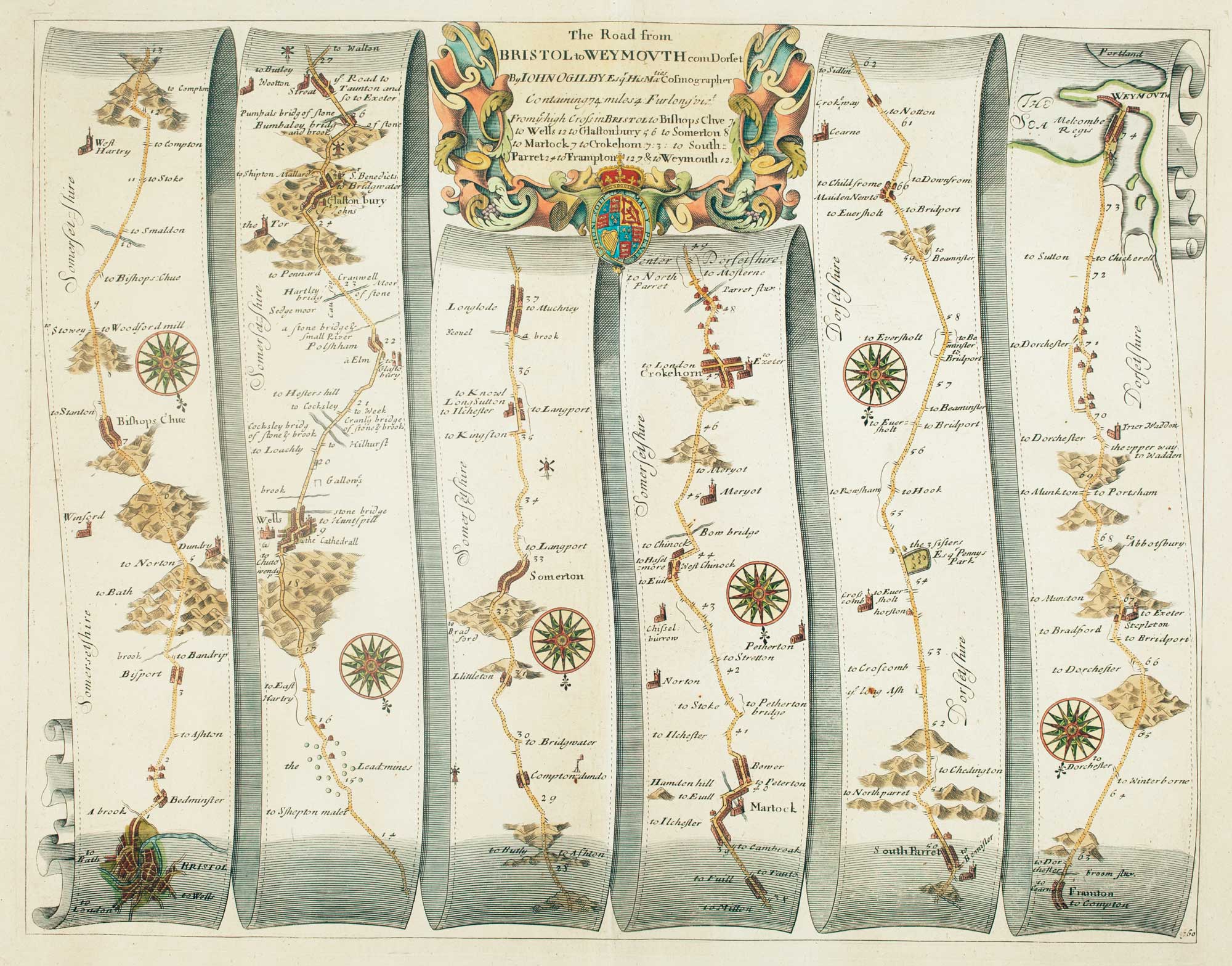
Early map of the roads from Bristol to Weymouth
OGILBY, John. Date: 1675 Stock #: 15096 £240.00
Add to Wishlist
Add to Wishlist