A rare wall map of the Holy Land
La Terre Sainte Autrefois Terre de Chanaan et de Promission Divisee Selon ses Douze Trbus Dressée sur l'Ancien et le Nouveau Testament sur l'Histoire de Flave Joseph et sur la relation les plus recentes. Rectifiées sur les dernieres observations de M.rs l'Acedemie des Sciences.
Paris: Mondhare et Jean, c. 1784. Outline colour. Four sheets conjoined, total 980 x 1225mm.
£9,000.00
Description
A large and decorative wall map of the Holy Land, based on the Bible and the works of Flavius Josephus, but updated with modern information from Paul de Miglionico, first published by Nolin in 1700.
The map shows the Holy Land divided into the Twelve Tribes and Egypt west to the Nile delta, with the route of the Exodus marked. Down the sides are sixteen panels filled with views and plans of holy sites, with two indented plans of ancient and modern Jerusalem . A hanging drapery contains the title, engraved description and gazetteer.
Condition:
Small repairs at binding folds.References:
LAOR 535.Related products
-
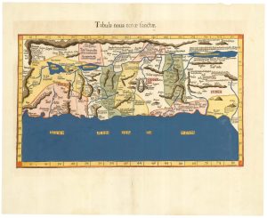
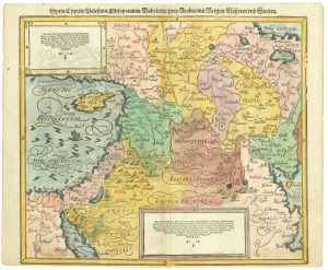
An early woodcut map of the Holy Land & Cyprus
MUNSTER, Sebastian. Date: 1552Stock #: 25310 £360.00 -
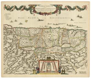
The Holy Land after Adrichom in fine original colour
HONDIUS, Henricus. Date: 1717Stock #: 24920 £1,000.00 -
18th century map of the Holy Land in fine colour
JAILLOT, Alexis-Hubert. Date: 1781Stock #: 14768 £450.00 -
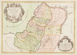
The Holy Land, divided into the Twelve Tribes.
Anonymous. Date: 1734Stock #: 24804 £350.00 -
17th century map of the Holy Land
DE WIT, Frederick. Date: 1680Stock #: 25259 £680.00 -
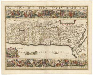
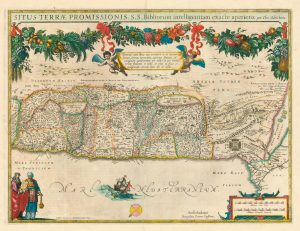
Uncommon 17th century panelled map of the Holy Land
JANSSON, Jan. Date: 1677Stock #: 21897 £3,500.00 -
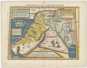
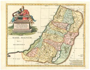
A 16th century ‘modern’ map of the Holy Land.
WALDSEEMULLER, Martin. Date: 1541Stock #: 25261 £1,400.00 -
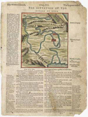
A 16th century map of the site of Eden, from a ‘Geneva Bible’
POSTEL, Guillaume. Date: 1599Stock #: 24853 £120.00 -
16th century map of the Eastern Mediterranean in rare early colour
MUNSTER, Sebastian. Date: 1550Stock #: 24441 £880.00
Items by the same author
Add to Wishlist
Add to Wishlist
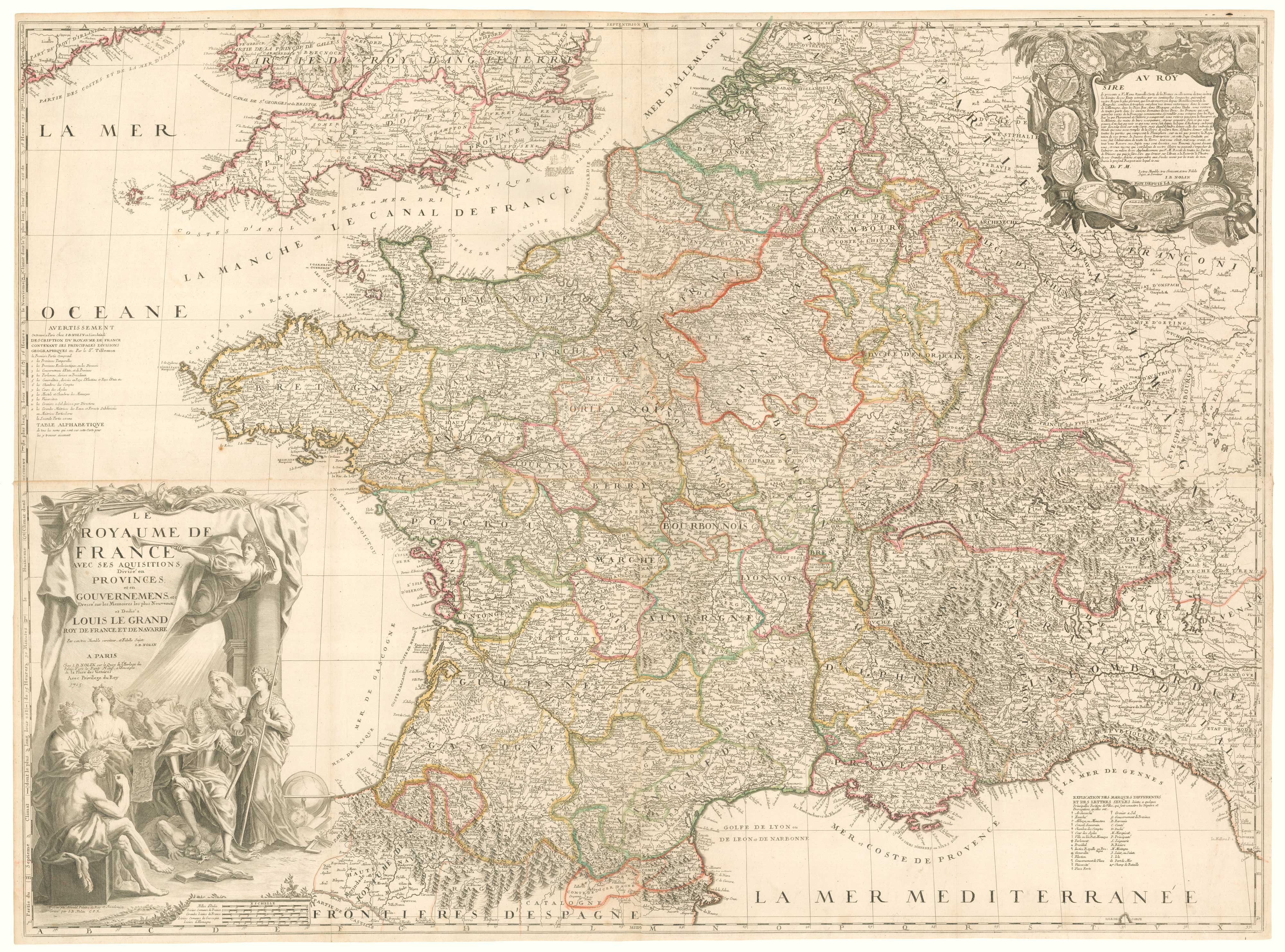
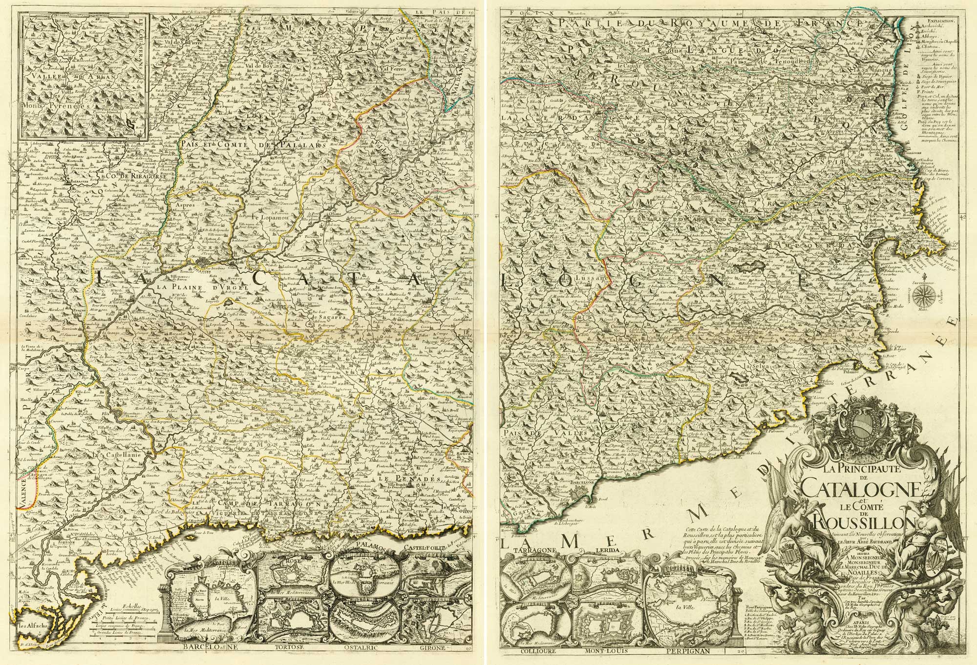
A rare four-sheet wall map of France dedicated to the Sun King
NOLIN, Jean Baptiste. Date: 1705 Stock #: 19443 £2,200.00
Add to Wishlist
Add to Wishlist
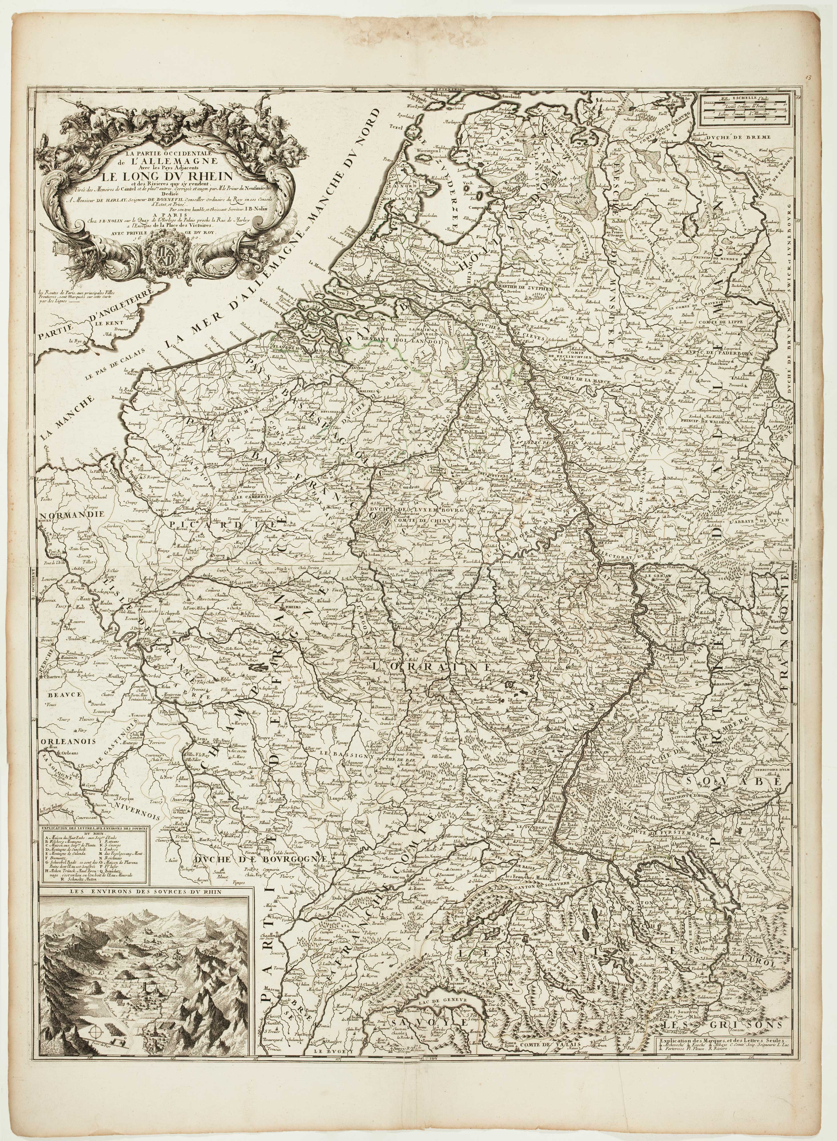
A scarce two-sheet map of the Rhine Region during the Nine Years' War
NOLIN, Jean Baptiste. Date: 1690 Stock #: 11393 £650.00
Add to Wishlist
Add to Wishlist
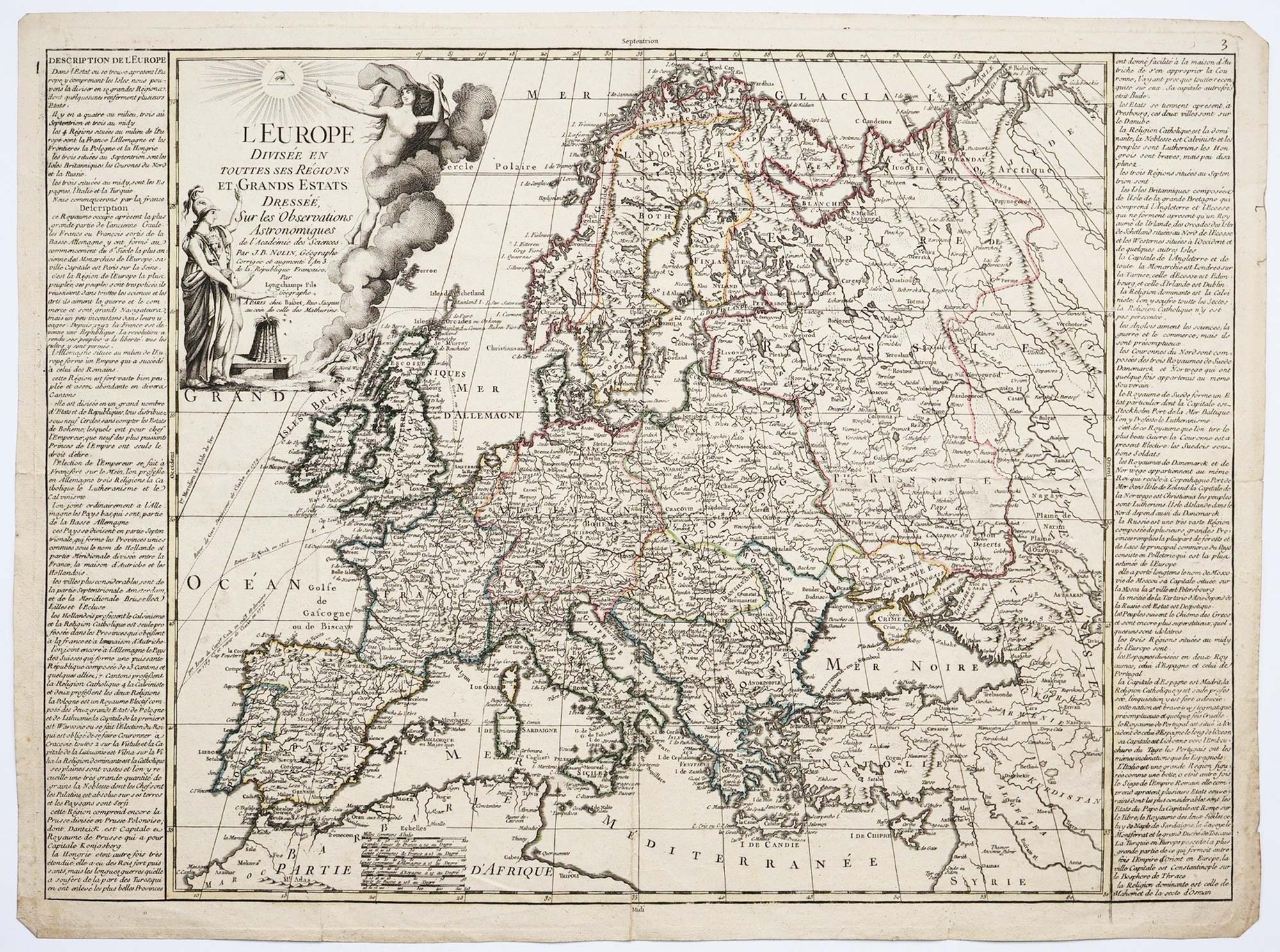
A map of Europe in the late 18th century
NOLIN, Jean Baptiste. Date: 1795 Stock #: 24501 £500.00
Add to Wishlist
Add to Wishlist
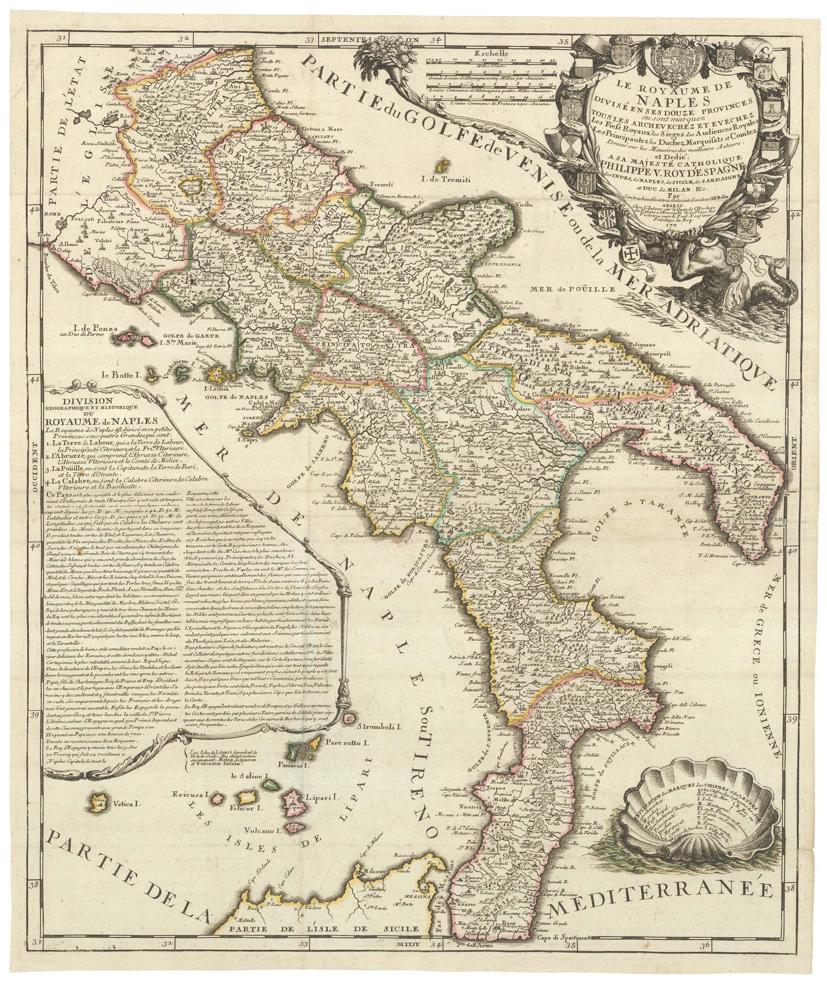
A rare map of the Kingdom of Naples
NOLIN, Jean Baptiste. Date: 1705 Stock #: 23637 £680.00
Add to Wishlist
Add to Wishlist