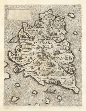
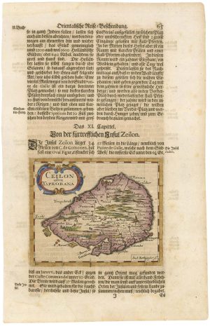
16th century woodcut map of Sri Lanka as Taprobana
Taprobana Insula.
Basle, 1572, Latin text edition. Coloured woodcut, printed area 260 x 340mm.
£500.00
1 in stock
x
Question About This Item?
16th century woodcut map of Sri Lanka as Taprobana & MUNSTER, Sebastian.Stock #: 24578
Add to Wishlist
Export as PDFEnquireSimilar to Sell?Add to Wishlist
Description
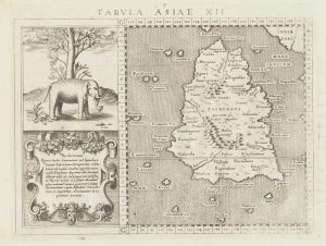
Munster's Ptolemaic map of Taprobana, the Roman conception of Sri Lanka, which they had never visited but knew as the source of the cinammon they bought from Arab merchants. To the left of the map is a rather ferocious looking elephant above a cartouche of text. From Munster's Cosmography.
Condition:
A good example.Related products
-
18th century chart of Trincomalee
APRÈS DE MANNEVILLETTE, Jean Baptiste d'. Date: 1775Stock #: 17489 £600.00 -
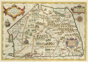
18th century map of Sri Lanka in fine original colour
SEUTTER, Matthaus. Date: 1730Stock #: 22407 £980.00 -
A mid-19th century map of Sri Lanka decorated with vignettes
TALLIS, John. Date: 1851Stock #: 21784 £190.00 -
A ‘Lafreri-type’ map of Taprobana
LAFRERI, Antonio. Date: 1570Stock #: 25210 £2,800.00 -
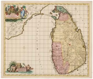
Early 18th century map of Sri Lanka
DELISLE, Guillaume. Date: 1722Stock #: 22485 £600.00 -
A 17th century map of Sri Lanka
HONDIUS, Jodocus. Date: 1628Stock #: 23655 £600.00 -
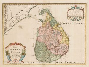
A scarce map of Sri Lanka in full original colour.
DE RAM, Johannes. Date: 1730Stock #: 22572 £980.00 -
An 17th century map of Sri Lanka
ROTHGIESSER, Andres Lorensen. Date: 1696Stock #: 21644 £240.00 -
16th century map of Taprobana
MAGINI, Giovanni Antonio. Date: 1596Stock #: 18783 £250.00
Items by the same author
Add to Wishlist
Add to Wishlist
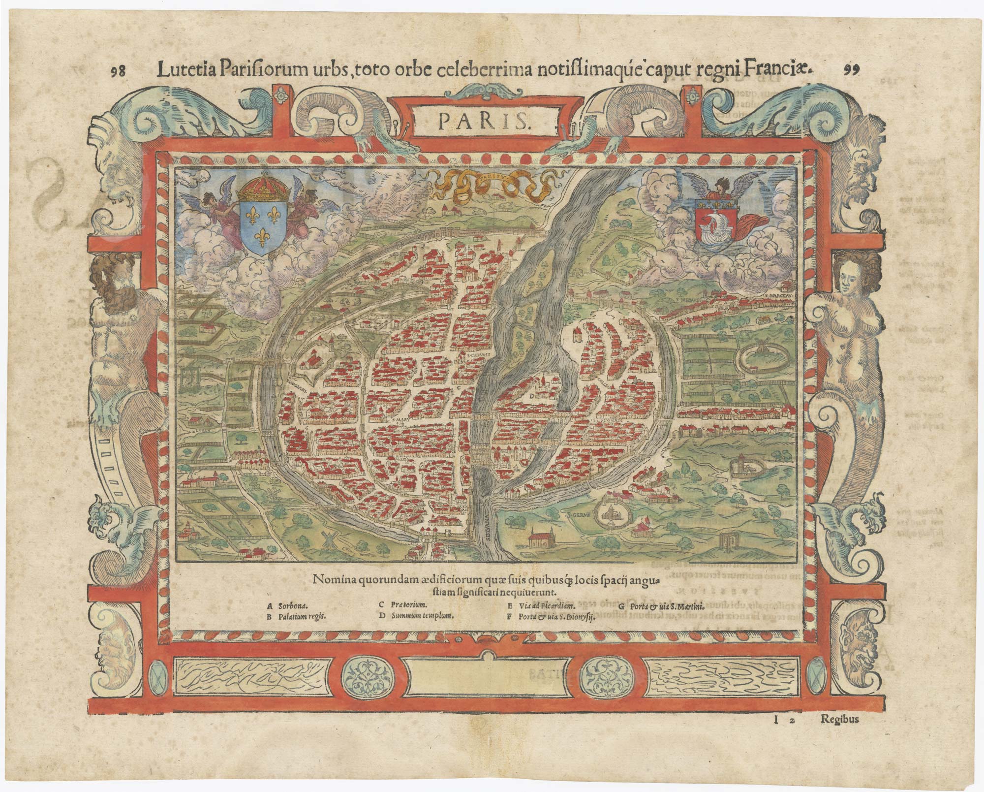
16th century map of Paris
MUNSTER, Sebastian. Date: 1560 Stock #: 25306 £700.00
Add to Wishlist
Add to Wishlist
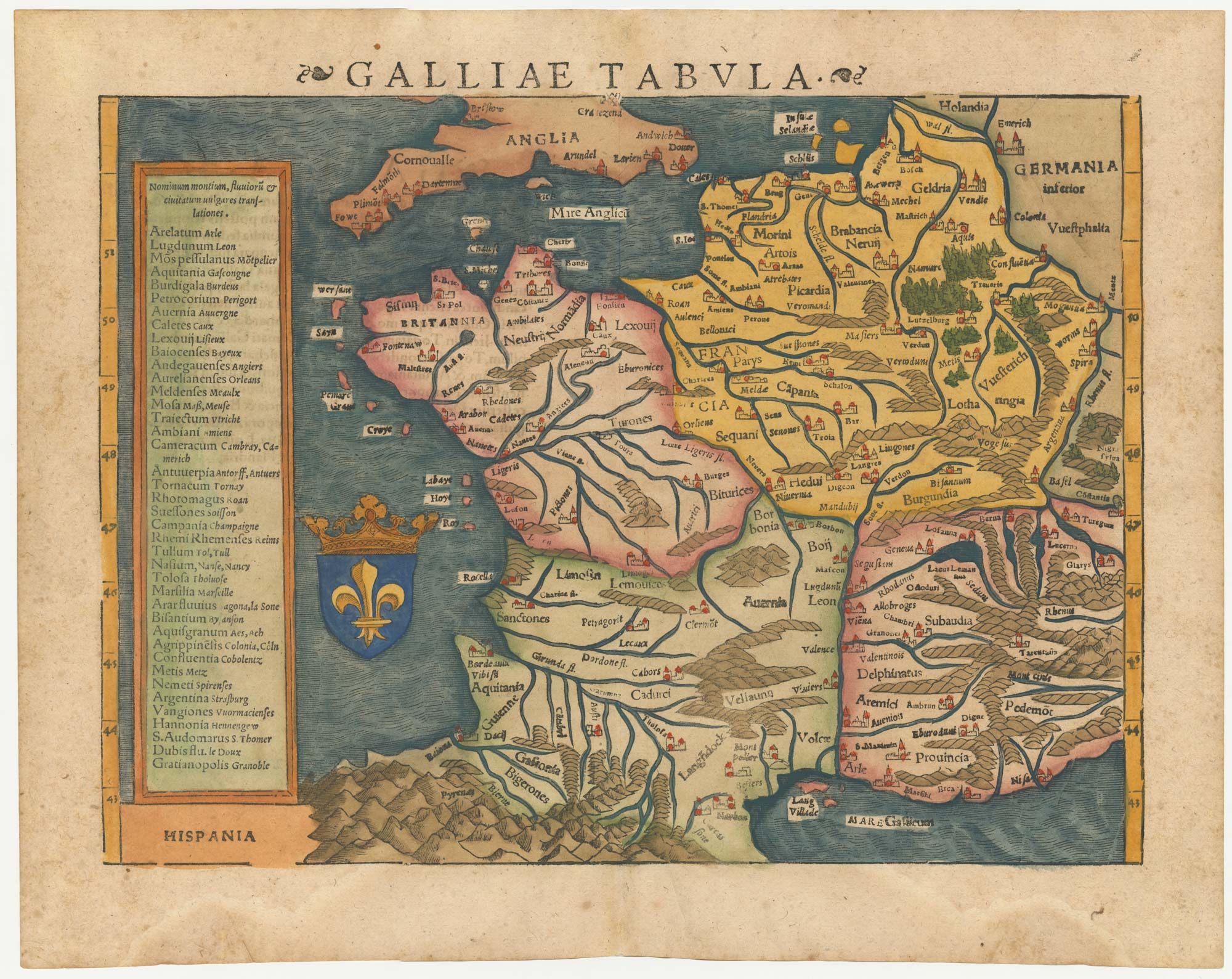
16th century woodblock map of France
MUNSTER, Sebastian. Date: 1572 Stock #: 24580 £380.00
Add to Wishlist
Add to Wishlist
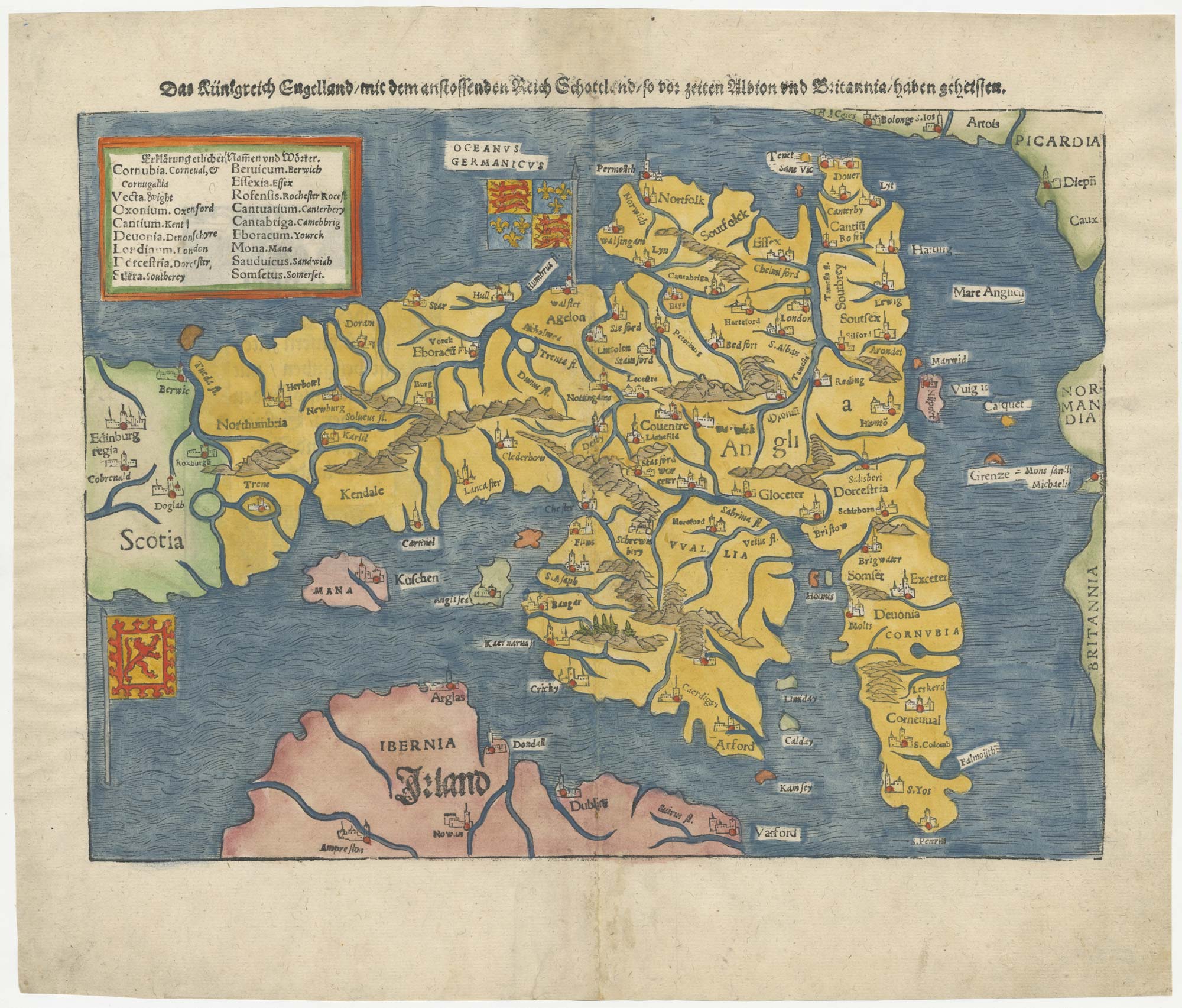
An early woodcut map of England
MUNSTER, Sebastian. Date: 1546 Stock #: 25504 £1,000.00
Add to Wishlist
Add to Wishlist