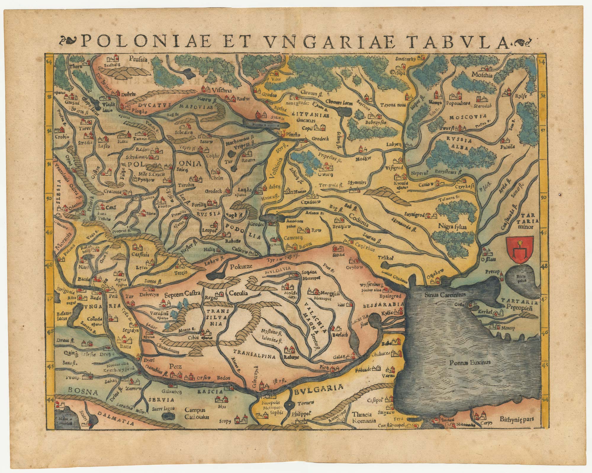


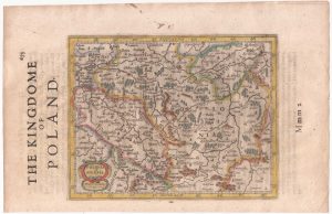
A 16th century woodcut map of Poland, Lithuania and Hungary
Poloniae et Ungariae Tabula.
Basle, 1572. Coloured woodcut, printed area 275 x 350mm.
£700.00
1 in stock
x
Question About This Item?
A 16th century woodcut map of Poland, Lithuania and Hungary & MUNSTER, Sebastian.Stock #: 24574
Add to Wishlist
Export as PDFEnquireSimilar to Sell?Add to Wishlist
Description
An early map of eastern Europe, covering from Prussia and Moscow south to the Danube, the Black Sea and Constantinople.
From Munster's 'Cosmographia'.
Condition:
A good example.Related products
-

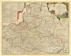
A pirated edition of the Ortelius Epitome map of Poland
ORTELIUS, Abraham. Date: 1655Stock #: 21727 £180.00 -
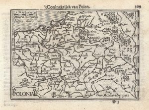
A 16th century miniature map of Poland
LANGENES, Barent. Date: 1599Stock #: 21314 £250.00 -
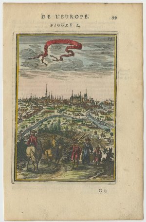
A 17th century prospect of Krakow
MALLET, Alain Manesson. Date: 1683Stock #: 24768 £250.00 -
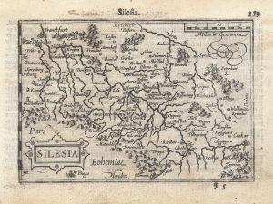
A 16th century miniature map of Silesia
LANGENES, Barent. Date: 1599Stock #: 21325 £160.00 -
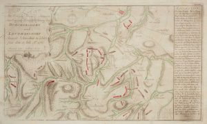
The Battle of Burkersdorf during the Seven Years’ War
RASPE, Gabriel Nikolaus. Date: 1762Stock #: 12939 £250.00 -
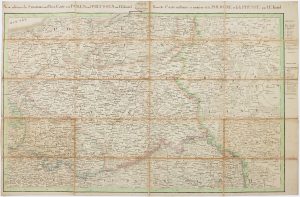
The Prussian and Russian occupation of the Duchy of Warsaw
KNITTEL, Johann Ernst. Date: 1812Stock #: 17231 £1,100.00 -
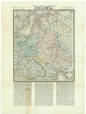
A map of the Partition of Poland
VALLARDI, Antonio. Date: 1863Stock #: 20570 £700.00 -
Poland from the first English Edition of the ‘Atlas Minor’
HONDIUS, Jodocus. Date: 1635Stock #: 22441 £180.00 -
A scarce 18th century map of the Polish-Lithuanian Commonwealth
NOLIN, Jean Baptiste jnr. Date: 1742Stock #: 24544 £950.00
Items by the same author
Add to Wishlist
Add to Wishlist
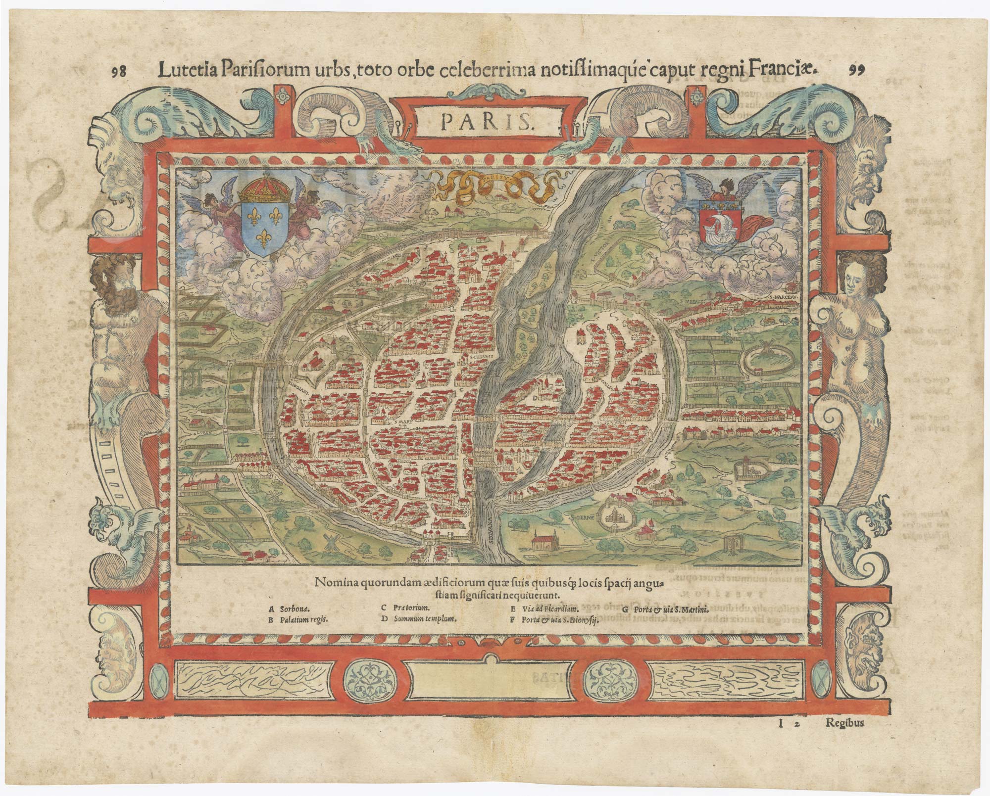
16th century map of Paris
MUNSTER, Sebastian. Date: 1560 Stock #: 25306 £700.00
Add to Wishlist
Add to Wishlist
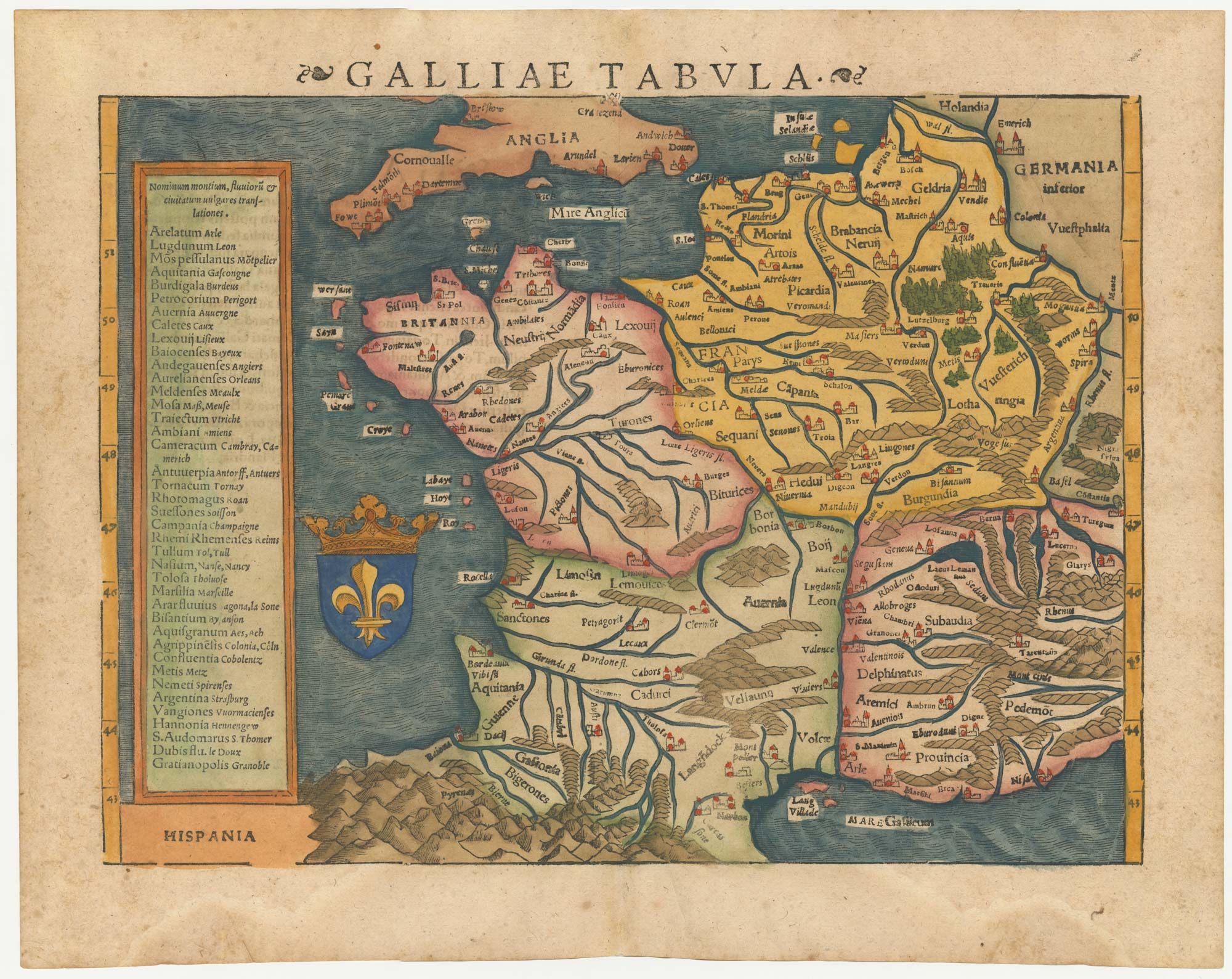
16th century woodblock map of France
MUNSTER, Sebastian. Date: 1572 Stock #: 24580 £380.00
Add to Wishlist
Add to Wishlist
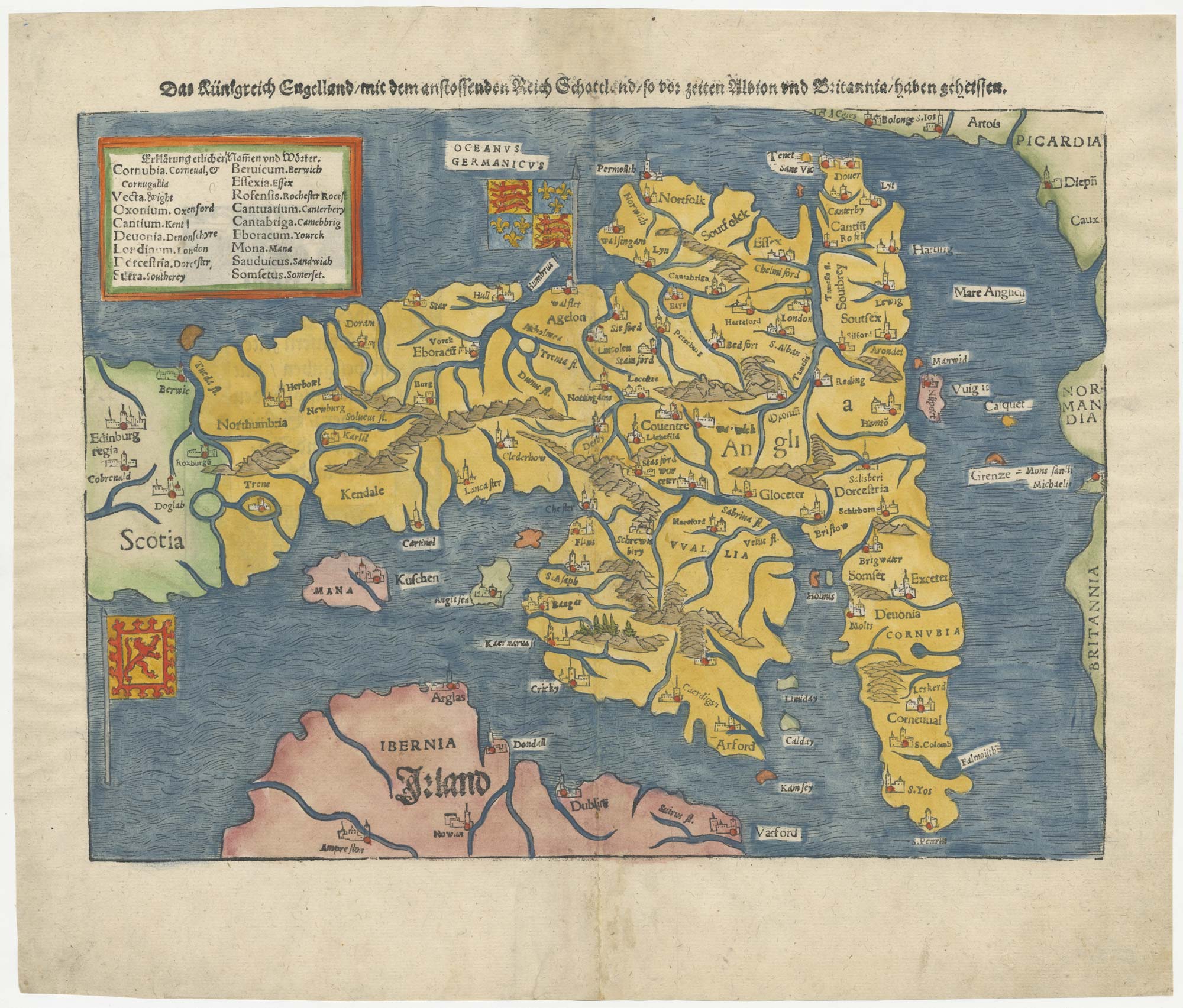
An early woodcut map of England
MUNSTER, Sebastian. Date: 1546 Stock #: 25504 £1,000.00
Add to Wishlist
Add to Wishlist